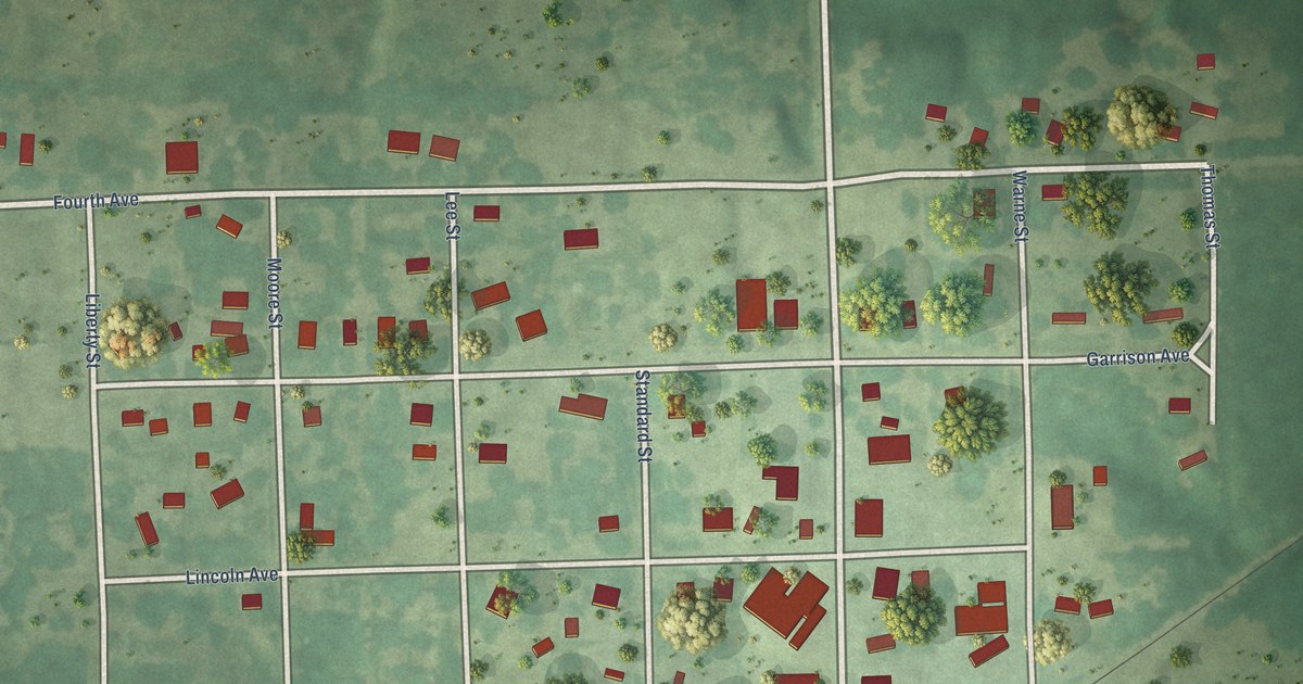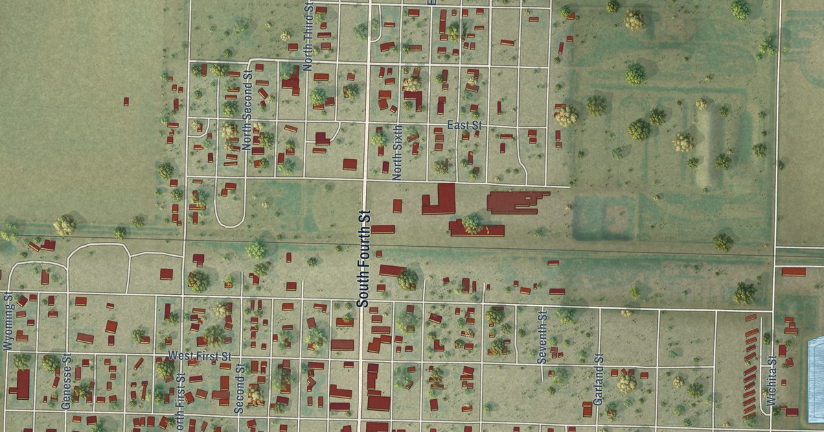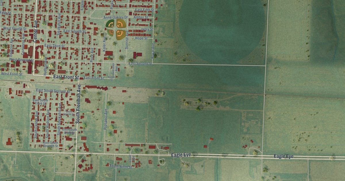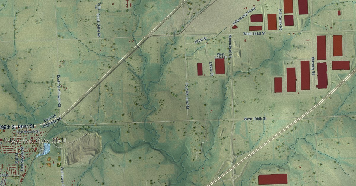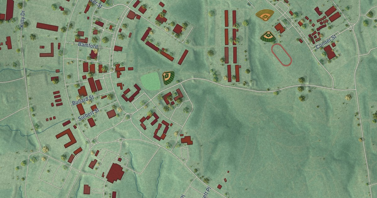
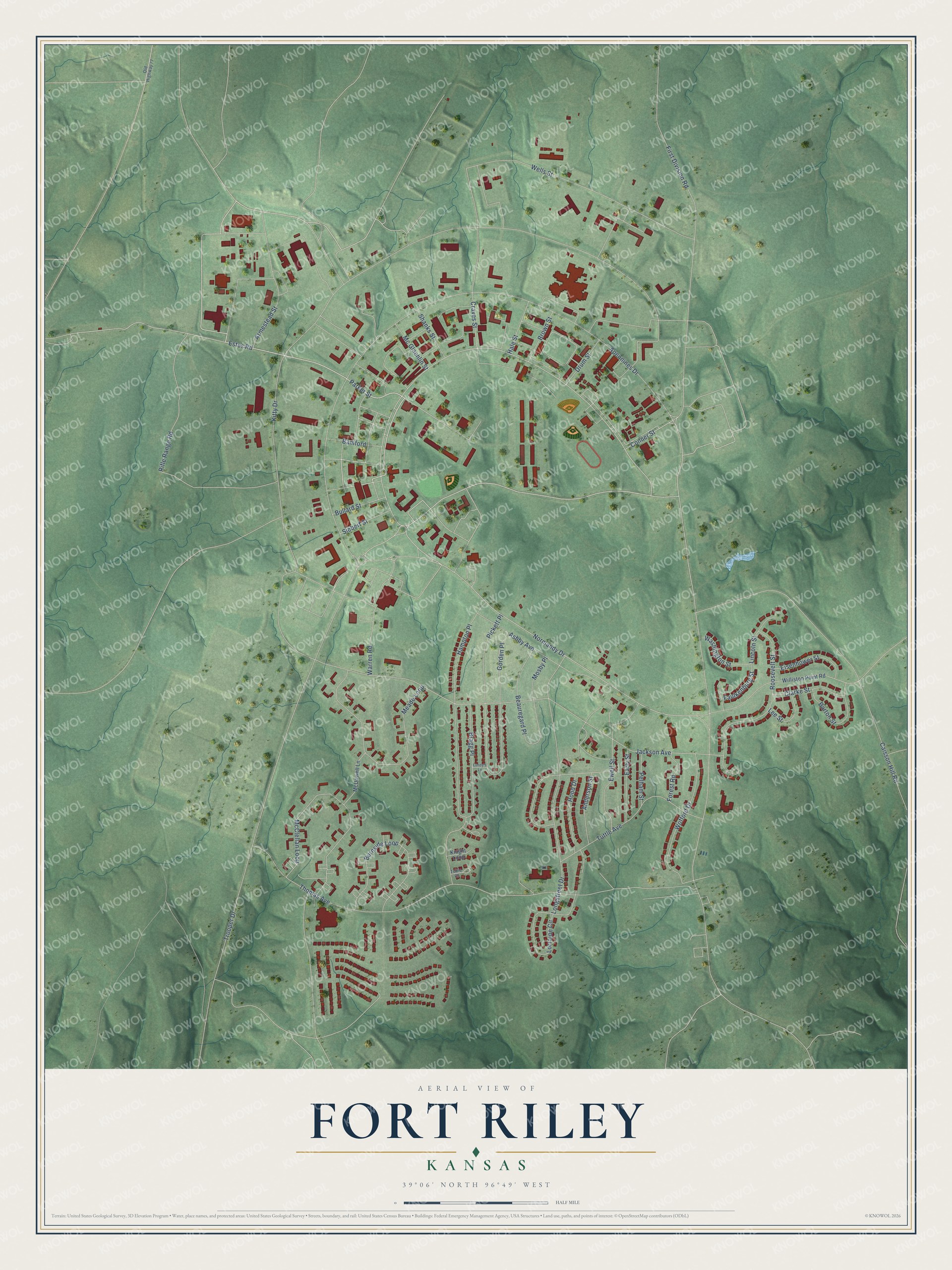
This beautifully detailed map of Fort Riley, Kansas was created in 2026 using aerial imagery combined with modern topographical, census, street and landmark data. It's a modern aerial view of Fort Riley in Riley County, Kansas, that combines modern data with a vintage aesthetic. The roads feature printed names, and if you look closely you can find your exact house accurately shown in its correct location.
Explore an aerial view of Fort Riley, Kansas
On this map you'll find Parker Street, Estes Road, Conner Street, Normandy Drive, First Division Road, Apennines Drive, Trooper Drive, McClellan Loop, Jackson Avenue, Craves Street, Thomas Avenue, Burnside Loop, and more. Each red shape is a building, so zoom in on the preview and look for yours.
Here is a piece of Fort Riley history. In 1852 Army surveyors chose the meeting of the Republican and Smoky Hill Rivers for a new post. They believed it was near the center of the United States and named it Camp Center. On June 27, 1853, it became Fort Riley, for Maj. Gen. Bennett C. Riley, who led the first military escort along the Santa Fe Trail. When the 1st Infantry Division made the fort its home base in 1955, new quarters and barracks went up on Custer Hill. That's from the U.S. Army Garrison Fort Riley.
Fort Riley is a community in Riley County. The Census Bureau counted 9,230 people here in 2020.
Take a closer look at the Fort Riley map
Names on this map
These names are printed on this map.
Streets and roads: Parker Street, Estes Road, Conner Street, Normandy Drive, First Division Road, Apennines Drive, Trooper Drive, McClellan Loop, Jackson Avenue, Craves Street, Thomas Avenue, Burnside Loop.
More street names, A to Z
Anderson Street, Armestead Street, Ashby Avenue, Bamford, Barton Street, Beauregard Place, Bragg Place, Brown Street, Bullard Street, Caisson Hill Road, Clarke Street, Drum Street, Early Street, Eisenhower Street, Ewell Street, Faulkenburg Street, Forest Road, Gorden Place, Hale Street, Hampton Place, Hood Drive, Kitty Drive, Knight Loop, Lee Street, Lincoln Street, Longstreet Drive, Lorraine Circle, Lundy's Lane, McDowell Lane, Mc Glachlin Street, Meade Loop, Mosby Place, Old Highway 77, Pelham Street, Pickett Place, Rifle Range Road, Roosevelt Street, Shanks Street, Siebert Street, Tobie Court, Tuttle Avenue, Warren Road, Washington Street, Wells Street, Williston Point Road, Wofford Drive.
See it on a wall
The Fort Riley map as a framed print. Swipe for more.


Created by KNOWOL in 2026. The buildings are small red shapes, the roads carry their printed names, and shaded relief shows the shape of the land. The title panel reads "AERIAL VIEW OF FORT RILEY, KANSAS" with 39°06' NORTH 96°49' WEST.
It suits a den, a classroom or a front hall, and it makes a gift for anyone with Fort Riley roots. Open the preview and find the block you know. See sizes and frames for the Fort Riley map.