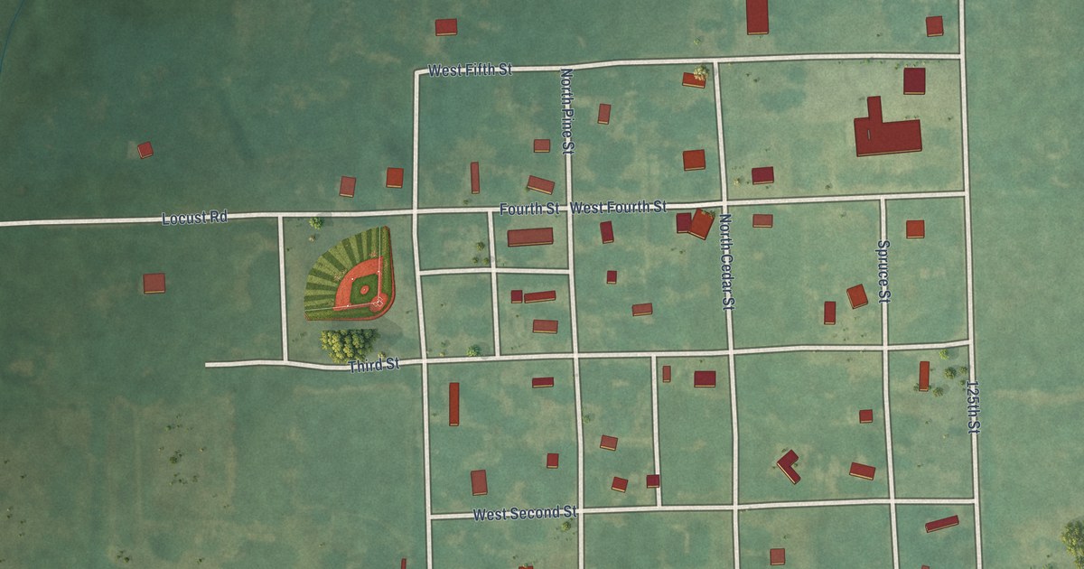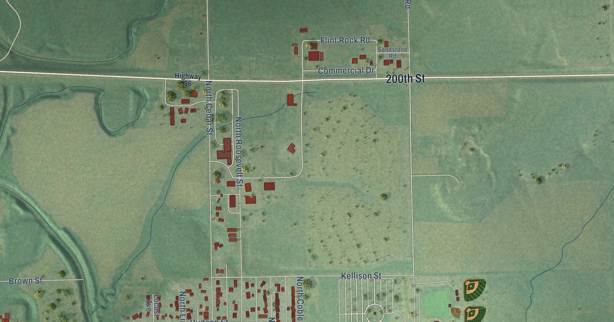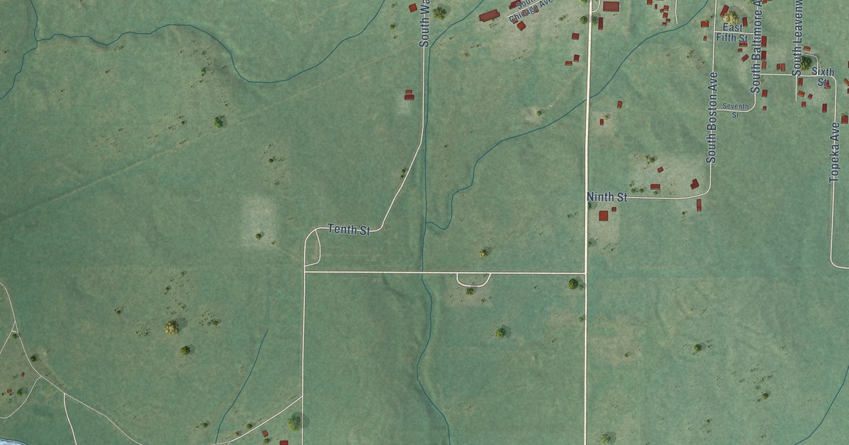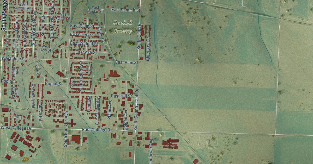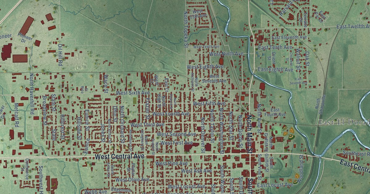
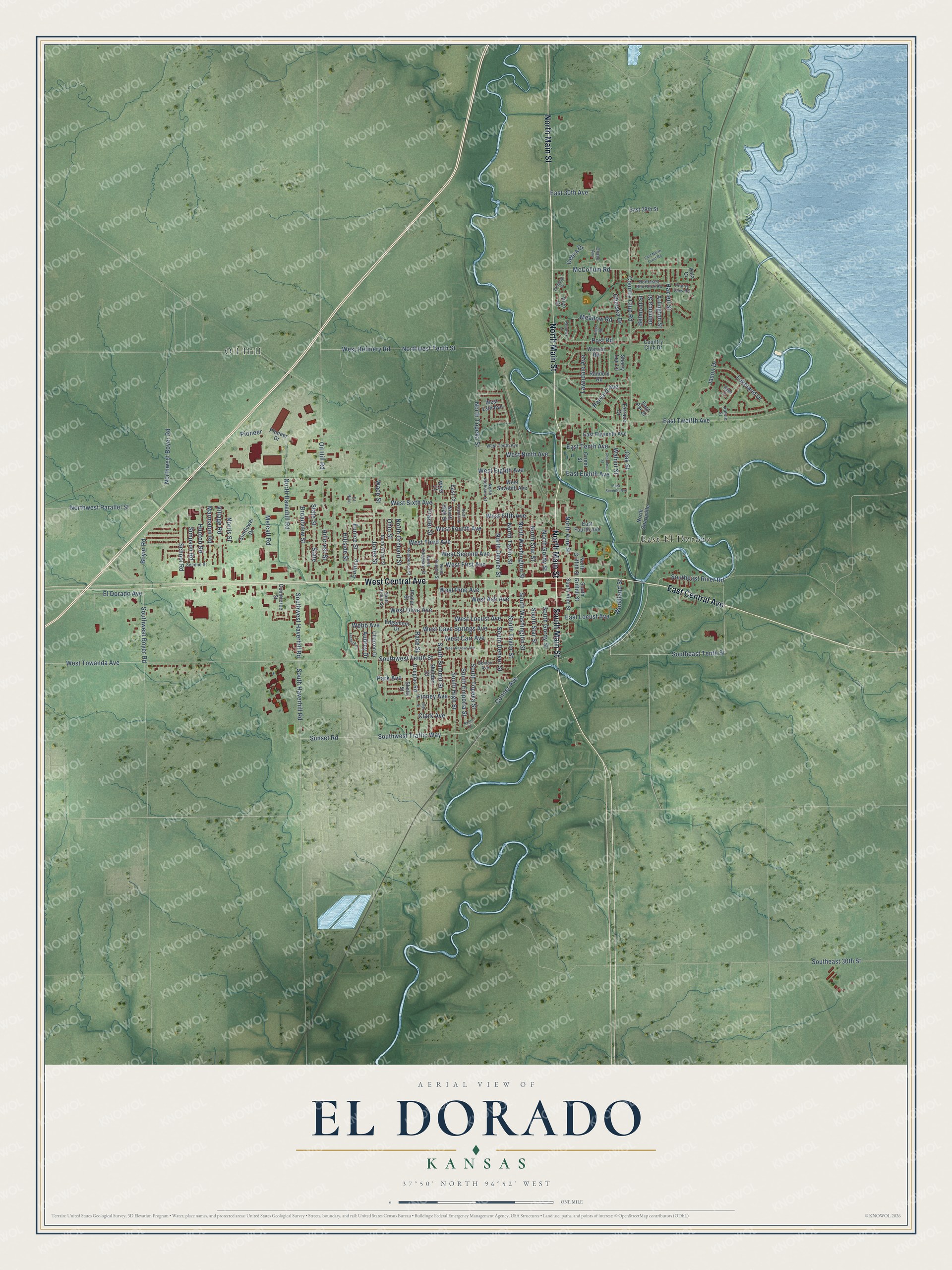
This beautifully detailed map of El Dorado, Kansas was created in 2026 using aerial imagery combined with modern topographical, census, street and landmark data. It's a modern aerial view of El Dorado in Butler County, Kansas, that combines modern data with a vintage aesthetic. The roads feature printed names, and if you look closely you can find your exact house accurately shown in its correct location.
Explore an aerial view of El Dorado, Kansas
On this map you'll find East El Dorado, Oil Hill, West Central Avenue, East Central Avenue, North Main Street, South Main Street, Southeast Tenth Street, Boyer Road, West Sixth Avenue, West Towanda Avenue, South Star Street, South Washington Street, and more. Each red shape is a building, so zoom in on the preview and look for yours.
Here is a piece of El Dorado history, in the words of the record. The record at kancoll.org puts it this way: "The Butler County Bank was organized in January, 1882, under the laws regulating State banks, and opened its doors on February 1."
El Dorado is a city in Butler County. The Census Bureau counted 12,870 people here in 2020.
Take a closer look at the El Dorado map
Names on this map
These names are printed on this map.
Places: East El Dorado and Oil Hill.
Streets and roads: West Central Avenue, East Central Avenue, North Main Street, South Main Street, Southeast Tenth Street, Boyer Road, West Sixth Avenue, West Towanda Avenue, South Star Street, South Washington Street, Oil Hill Road, North Gordy Street.
More street names, A to Z
Arlington Street, Aubrie Street, Audrey Drive, Belmont Street, Benton Avenue, Bridgette Drive, Broadview Street, Charron Drive, Chase Avenue, Chelsea Drive, Cherokee Street, Clark Avenue, Commerce Street, Conner Avenue, Country Club Drive, Country Club Road, Debra Drive, Douglas Road, East 29th Street, East 30th Avenue, East Court, East Eighth Avenue, East Eleventh Avenue, East Fourth Avenue, East Locust Avenue, East North Crest Road, East Par Drive, East Seventh Avenue, East Tenth Avenue, East Twelfth Avenue, Edgemoor Drive, El Dorado Avenue, Ellet Street, El Rico, Eunice, Eunice Street, Finney Avenue, Frazier Street, Fredrick Drive, Harvard Avenue, Hazlett Street, Hillcrest Street, Hillside Street, Hunton Road, Jamaica Street, Jason Drive, Jones Street, Kala Court, Kendrick Lane, Lakeland Drive, Lawndale Avenue, Marmaton Road, McCollum Road, Meadow Road, Metcalf Road, Norris Street, North Alleghany Street, North Arthur Street, North Atchison Street, North Denver Street, Northeast Rim Rock Road, North Emporia Street, North Griffith Street, North Haverhill Road, North High Street, North Orchard Street, North Sharpville, North Star Street, North Summit Street, North Taylor Street, North Topeka Street, North Vine Street, North Washington Street, Northwest Boyer Road, Northwest Parallel Street, Northwest Tenth Street, Oak Street, Ohio Street, Orient Street, Park Avenue, Pico Court, Pioneer, Pioneer Drive, Poplar Street, Post Road, Prairie View Road, Race Street, Random Road, Residence Street, Ridge Road, Ryan Court, Santa Fe, School Road, Second Street, Shelden Street, Sherry Lee Lane, Simpson Road, Skelly Street, South Arthur Street, South Denver Street, Southeast 30th Street, Southeast River Road, South Emporia Street, South Gordy Street, South Griffith Street, South Haverhill Road, South High Street, South Summit Street, South Taylor Street, South Topeka Street, South Vine Street, Southwest Boyer Road, Southwest Haverhill Road, Southwest Tenth Street, Southwest Traffic Way, State, State Street, Sunflower Drive, Sunset Road, Terrace Drive, Village Road, Waco Street, Walnut Street, Warren Road, Webb Avenue, West 13th Avenue, West Ash Avenue, West Carr Avenue, West Cave Springs Avenue, West Court, West Eighth Avenue, West Fifth Avenue, West First Avenue, West Fourth Avenue, West Kansas Avenue, West Locust Avenue, West Ninth Avenue, West Olive Avenue, West Pine Avenue, West Refinery Road, West Second Avenue, West Seventh Avenue, West Tenth Avenue, West Third Avenue, Woodland Street.
Created by KNOWOL in 2026. The buildings are small red shapes, the roads carry their printed names, and shaded relief shows the shape of the land. The title panel reads "AERIAL VIEW OF EL DORADO KANSAS" with 37°50' NORTH 96°52' WEST.
It suits a den, a classroom or a front hall, and it makes a gift for anyone with El Dorado roots. Open the preview and find the block you know. See sizes and frames for the El Dorado map.