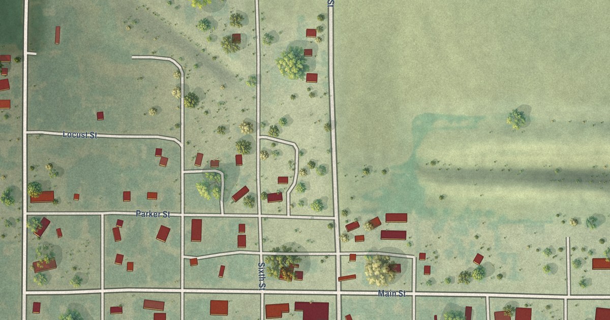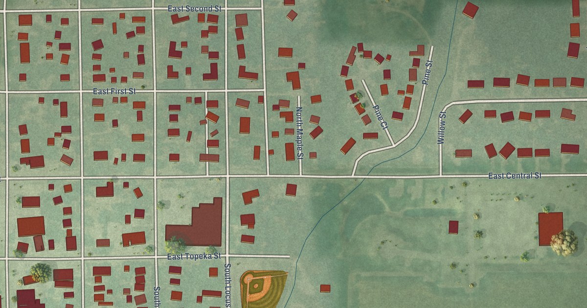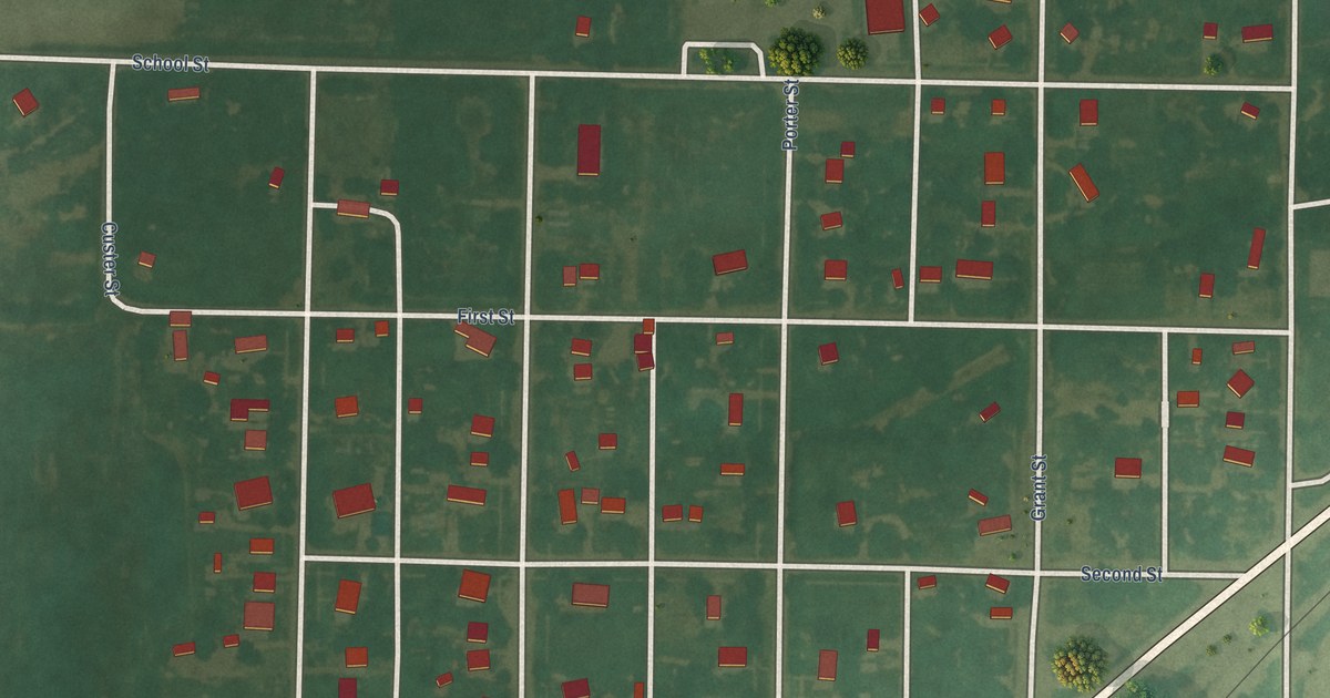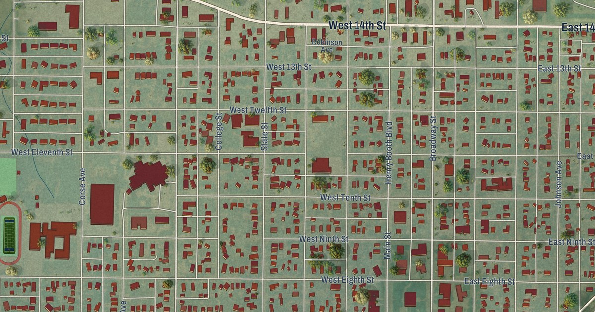
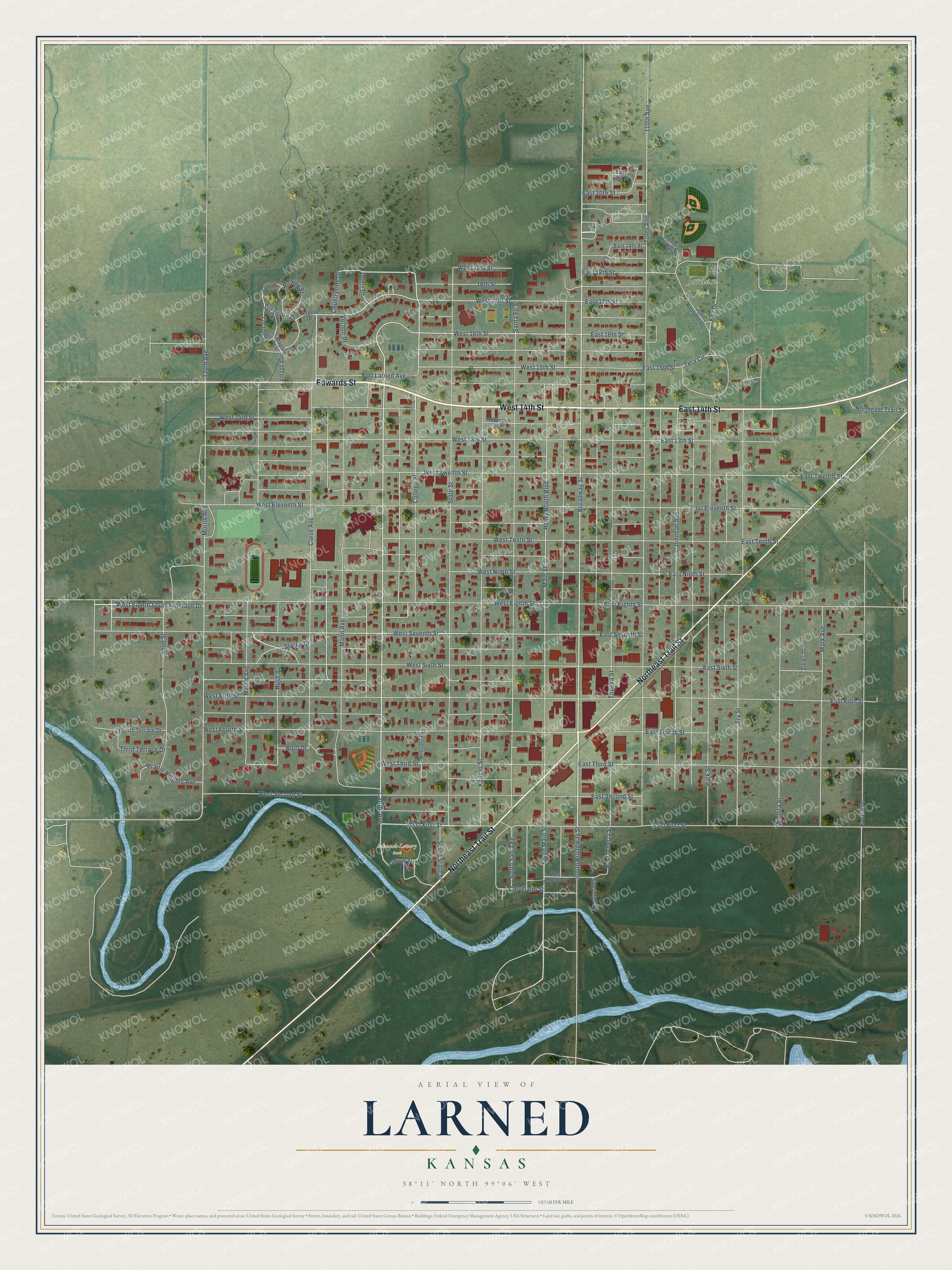
This beautifully detailed map of Larned, Kansas was created in 2026 using aerial imagery combined with modern topographical, census, street and landmark data. It's a modern aerial view of Larned in Pawnee County, Kansas, that combines modern data with a vintage aesthetic. The roads feature printed names, and if you look closely you can find your exact house accurately shown in its correct location.
Explore an aerial view of Larned, Kansas
On this map you'll find Jordan Park, Schnack-Lowery Park, Edwards Street, West 14th Street, East 14th Street, Northeast Trail Street, Broadway Street, Corse Avenue, Carroll Avenue, West First Street, Starks Drive, College Street, and more. Each red shape is a building, so zoom in on the preview and look for yours.
Here is a piece of Larned history, in the words of the record. The Kansas State Teachers College puts it this way: "In 1874, the first public school was established. It was housed in an old saloon. Pupils sat on beer kegs before the bar which served the teacher as a desk."
Larned is a city in Pawnee County. The Census Bureau counted 3,769 people here in 2020.
Take a closer look at the Larned map
Names on this map
These names are printed on this map.
Places: Jordan Park and Schnack-Lowery Park.
Streets and roads: Edwards Street, West 14th Street, East 14th Street, Northeast Trail Street, Broadway Street, Corse Avenue, Carroll Avenue, West First Street, Starks Drive, College Street, West 16th Street, South Main Street.
More street names, A to Z
18th Street, 110th Avenue, 120th Avenue, Anne Street, Aspen Drive, Bluff Drive, Cleveland Street, Countryside Drive, Doerr Drive, East 13th Street, East 15th Street, East 16th Street, East 17th Street, East 18th Street, East 19th Street, East 20th Street, East 21st Street, East Alberta Street, East Eighth Street, East Eleventh Street, East Fifth Street, East First Street, East Fourth Street, East Ninth Street, East Second Street, East Seventh Street, East Sixth Street, East Tenth Street, East Third Street, East Twelfth Street, Fair Drive, Fort Larned Avenue, Fourth Terrace Drive, Fry Street, Henry Booth Boulevard, Henry Jordan Drive, Hickory Street, Hillcrest Drive, John Jordan Drive, Johnson Avenue, Kansas Street, Locust Street, Main Street, Mann Avenue, Maple Lane, Mark Avenue, Martin Avenue, Morris Avenue, Park Street, Pawnee Street, Prairie Heights Avenue, Robinson Avenue, Rose Avenue, Rush Avenue, Santa Fe Street, Sherman Street, South Broadway Street, South Santa Fe, South State Street, State Street, Steiks Drive, Sycamore Drive, Sycamore Street, Tera Circle, Third Terrace Drive, Toles Avenue, Topeka Street, Vernon Drive, Village Avenue, West 13th Street, West 15th Street, West 17th Street, West 18th Street, West Alberta Street, West Eighth South Frontage Drive, West Eighth Street, West Eleventh Street, West Fifth Street, West Fourth Street, West Ninth Street, West Second Street, West Seventh Street, West Sixth Street, West Tenth Street, West Third Street, West Twelfth Street, Wichita Street.
Created by KNOWOL in 2026. The buildings are small red shapes, the roads carry their printed names, and shaded relief shows the shape of the land. The title panel reads "AERIAL VIEW OF LARNED KANSAS" with 38°11' NORTH 99°06' WEST.
It suits a den, a classroom or a front hall, and it makes a gift for anyone with Larned roots. Open the preview and find the block you know. See sizes and frames for the Larned map.