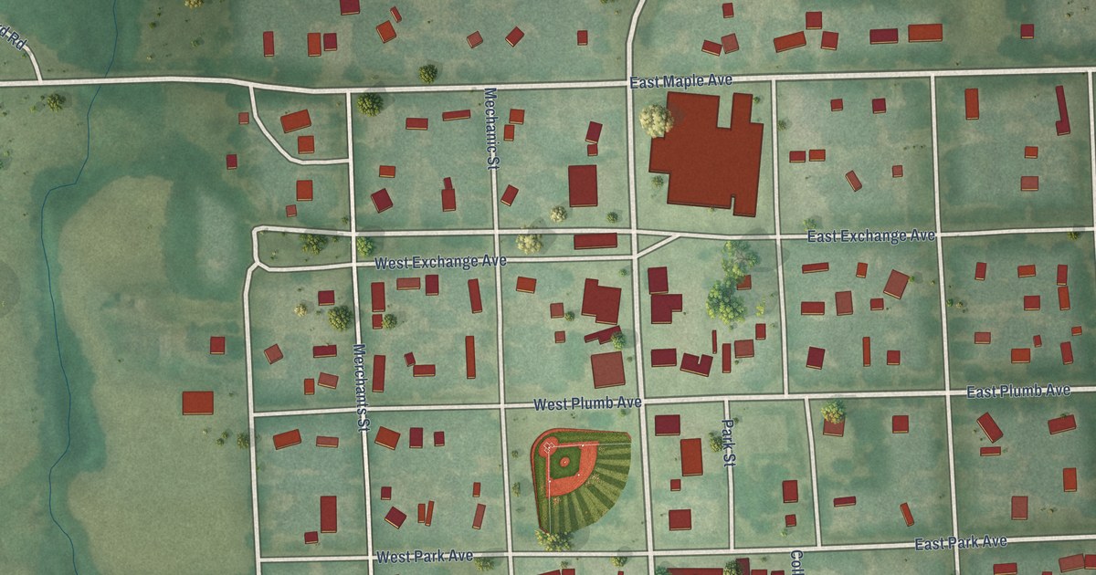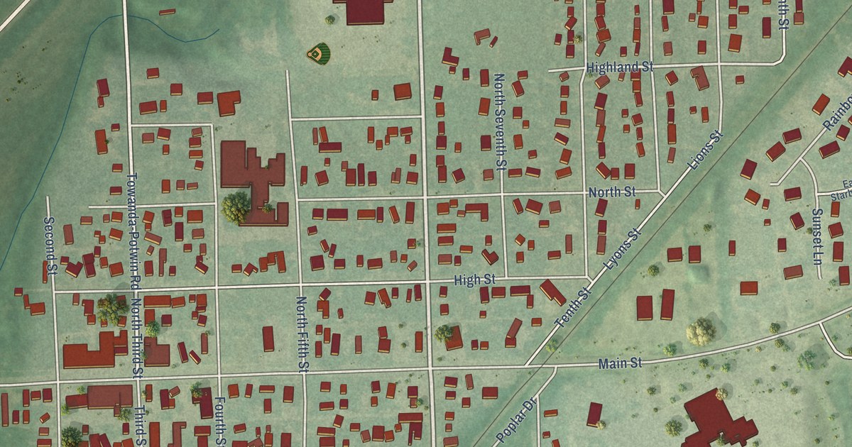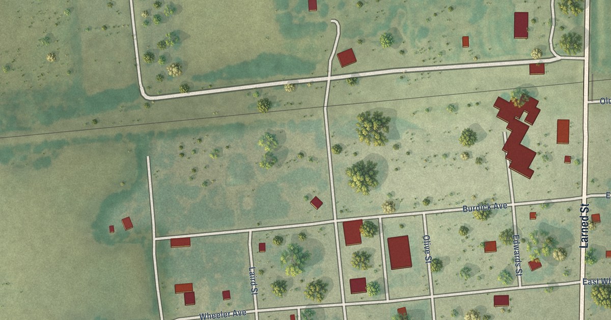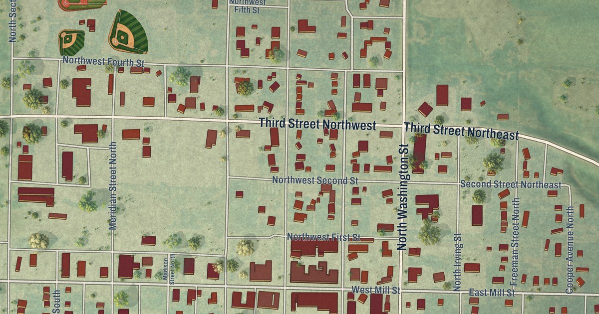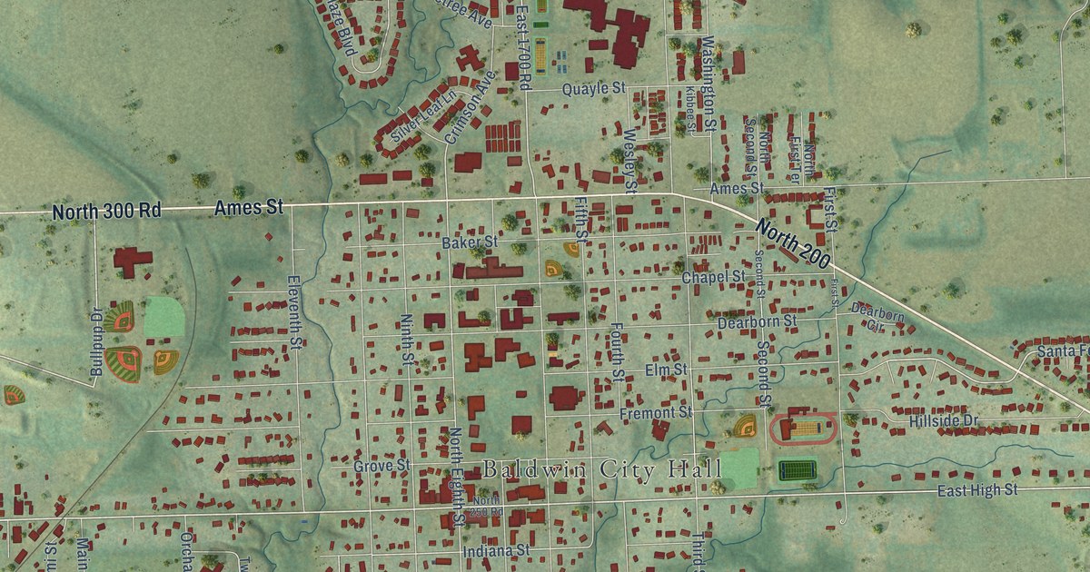
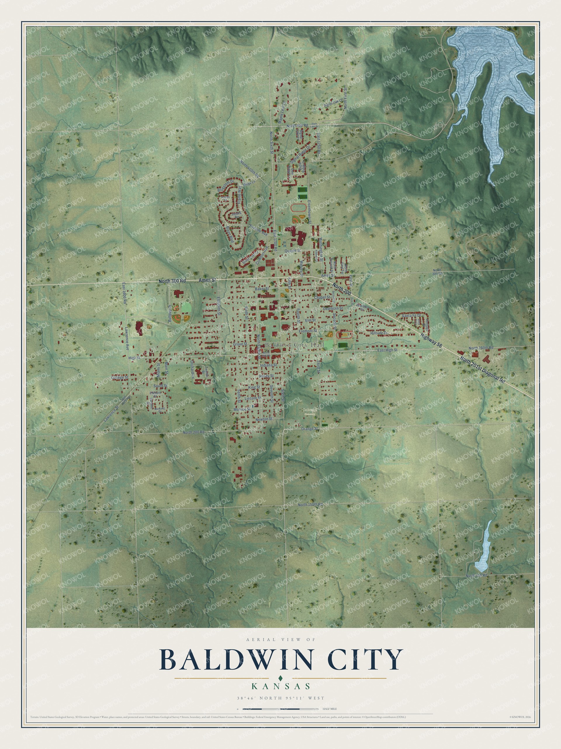
This beautifully detailed map of Baldwin City, Kansas was created in 2026 using aerial imagery combined with modern topographical, census, street and landmark data. It's a modern aerial view of Baldwin City in Douglas County, Kansas, that combines modern data with a vintage aesthetic. The roads feature printed names, and if you look closely you can find your exact house accurately shown in its correct location.
Explore an aerial view of Baldwin City, Kansas
On this map you'll find Baldwin City Hall, Oakwood Cemetery, North 200, Highway 56, North 201st Diagonal Road, North 300 Road, Ames Street, High Street, Orange Street, East High Street, Santa Fe Drive, North 200 Road, and more. Each red shape is a building, so zoom in on the preview and look for yours.
Baldwin City has a story worth telling. The Kansas State Teachers College puts it this way: "John Baldwin, an early settler, came to Palmyra from Ohio and established a sawmill in 1858. He contributed to the establishing of Baker University, the first four year college in Kansas."
Baldwin City is a city in Douglas County. The Census Bureau counted 4,826 people here in 2020.
Take a closer look at the Baldwin City map
Names on this map
These names are printed on this map.
Places: Baldwin City Hall and Oakwood Cemetery.
Streets and roads: North 200, Highway 56, North 201st Diagonal Road, North 300 Road, Ames Street, High Street, Orange Street, East High Street, Santa Fe Drive, North 200 Road, North 400 Road, Bullpup Drive.
More street names, A to Z
Baker Street, Blaze Boulevard, Bluestem Drive, Chapel Street, College Street, Crimson Avenue, Dearborn Circle, Dearborn Street, Deer Ridge Court, Eagle Ridge Drive, East 1575 Road, East 1600 Road, East 1700 Road, East 1750 Road, Eisenhower Street, Eleventh Street, Elkhorn Street, Elm Street, Fifth Street, Firetree Avenue, First Street, Flame Way, Fourth Street, Fremont Street, Grove Street, Heritage Drive, Hillside Drive, Indiana Street, Jasara Circle, Jersey Street, Kathys Court, Kibbee Street, King Street, Lawrence Avenue, Lawrence Street, Lincoln Street, Main Street, Maple Leaf Court, Miami Street, Monroe Street, Mustang Drive, Newton Street, Ninth Street, North 100 Road, North 150th Road, North 250 Road, North 250th Road, North 400th Road, North Eighth Street, North First Street, North First Terrace, North Second Street, North Sixth Street, Orchard Lane, Quayle Street, Ridge Lane, Santa Fe Court, Second Street, Seventh Street, Signal Lake Court, Signal Oak Court, Signal Ridge Drive, Silver Leaf Lane, Sixth Street, South Street, State Lake Road, Summit Street, Tenth Street, Third Street, Twelfth Street, Washington Street, Wesley Street.
Created by KNOWOL in 2026. The buildings are small red shapes, the roads carry their printed names, and shaded relief shows the shape of the land. The title panel reads "AERIAL VIEW OF BALDWIN CITY KANSAS" with 38°46' NORTH 95°11' WEST.
It looks right in a kitchen, an office or a den, and it's a gift for anyone who grew up in Baldwin City or moved away. Open the preview and find your street. See sizes and frames for the Baldwin City map.