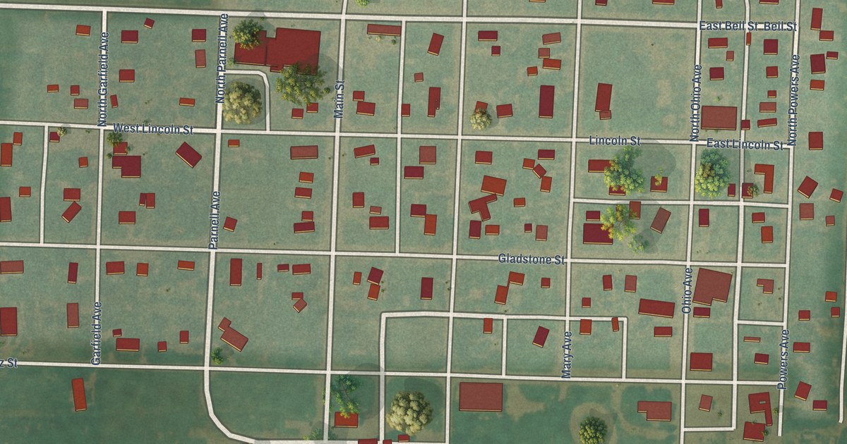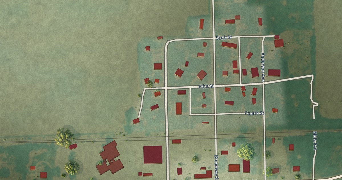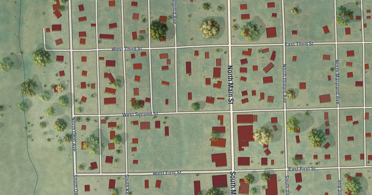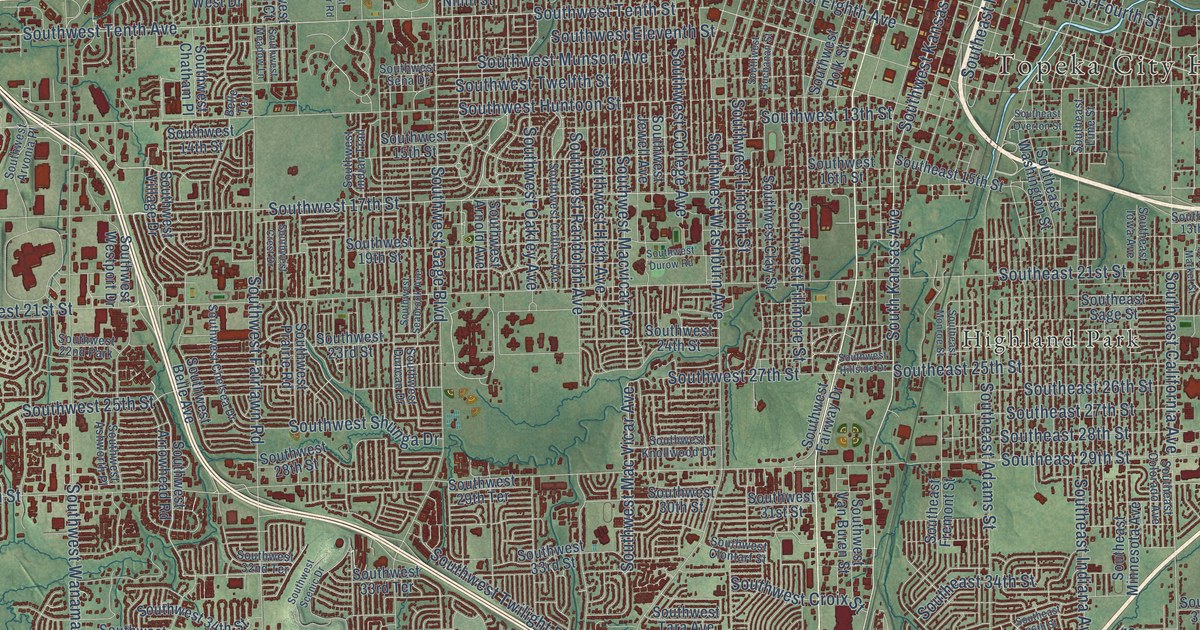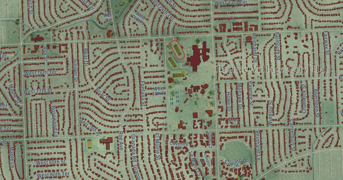
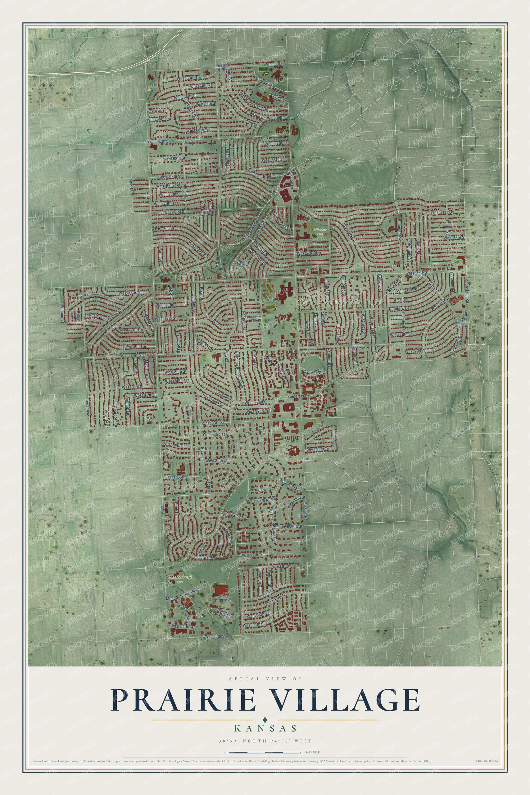
This beautifully detailed map of Prairie Village, Kansas was created in 2026 using aerial imagery combined with modern topographical, census, street and landmark data. It's a modern aerial view of Prairie Village in Johnson County, Kansas, that combines modern data with a vintage aesthetic. The roads feature printed names, and if you look closely you can find your exact house accurately shown in its correct location.
Explore an aerial view of Prairie Village, Kansas
On this map you'll find Prairie Village City Hall, Meadowbrook Park, Windsor Park, Somerset Drive, Belinder Avenue, West 84th Terrace, West 80th Street, West 85th Street, West 76th Street, Cedar Drive, Tomahawk Road, Rosewood Drive, and more. Each red shape is a building, so zoom in on the preview and look for yours.
Prairie Village has a story worth telling. The City of Prairie Village puts it this way: "Construction in Prairie Village started in 1941, and by 1949, Mr. Nichols's dream became a reality when the City was named the best planned community in America by the National Association of Home Builders."
Prairie Village is a city in Johnson County. The Census Bureau counted 22,957 people here in 2020.
Take a closer look at the Prairie Village map
Names on this map
These names are printed on this map.
Places: Prairie Village City Hall, Meadowbrook Park and Windsor Park.
Streets and roads: Somerset Drive, Belinder Avenue, West 84th Terrace, West 80th Street, West 85th Street, West 76th Street, Cedar Drive, Tomahawk Road, Rosewood Drive, West 90th Street, West 87th Street, Village Drive.
More street names, A to Z
66th Street, 82nd Place, Aberdeen Street, Alhambra Street, Ash Lane, Ash Street, Belinder Road, Beverly Drive, Birch Lane, Birch Street, Booth Drive, Booth Street, Briar Drive, Briar Lane, Briar Street, Bristol Court, Buena Vista Drive, Buena Vista Street, Cambridge Drive, Cambridge Street, Canterbury Street, Catalina Drive, Catalina Street, Cedar Lane, Cedar Reserve Drive, Cedar Street, Chadwick Street, Cherokee Drive, Colonial Drive, Compton Court, Corinth Drive, Coventry Court, Dearborn Drive, Delmar Drive, Delmar Lane, Delmar Street, Eaton Street, El Monte Drive, El Monte Street, Fairway Street, Falmouth Street, Fontana Street, Fonticello Street, Granada, Granada Drive, Granada Lane, Granada Road, Granada Street, High Drive, Hodges Drive, Homestead Court, Howe Circle, Howe Drive, Juniper Drive, Juniper Lane, Juniper Reserve Drive, Juniper Street, Lamar Avenue, Le Mans Court, Linden Drive, Linden Lane, Linden Street, Maple Lane, Maple Street, Meadowbrook Parkway, Mission Lane, Mission Road, Mohawk Drive, Nall Avenue, Norwood Street, Outlook Lane, Oxford Road, Parkside Drive, Pawnee Street, Prairie Lane, Rainbow Drive, Reeds Lane, Reeds Road, Reinhardt Drive, Reinhardt Lane, Reinhardt Street, Roe Avenue, Roe Circle, Rosewood Lane, Russell Road, Sagamore Road, South Homestead Drive, Springfield Street, State Line Road, Walmer Street, West 63rd, West 63rd Street, West 63rd Terrace, West 64th Street, West 64th Terrace, West 65th Place, West 65th Street, West 65th Terrace, West 66th Street, West 66th Terrace, West 67th Street, West 67th Terrace, West 68th Street, West 68th Terrace, West 69th Street, West 69th Terrace, West 70th Street, West 70th Terrace, West 71st Street, West 71st Terrace, West 72nd Street, West 72nd Terrace, West 73rd Street, West 73rd Terrace, West 74th Place, West 74th Street, West 74th Terrace, West 75th Place, West 75th Street, West 75th Terrace, West 76th Place, West 76th Terrace, West 77th Place, West 77th Street, West 77th Terrace, West 78th Place, West 78th Street, West 78th Terrace, West 79th Street, West 79th Terrace, West 80th Terrace, West 81st Street, West 81st Terrace, West 82nd Street, West 82nd Terrace, West 83rd Street, West 83rd Terrace, West 84th Street, West 86th Street, West 87th Place, West 87th Terrace, West 88th Street, West 89th Street, West 90th Terrace, West 91st Street, West 92nd Terrace, West 93rd Street, West 93rd Terrace, West 94th Street, West 94th Terrace, West 95th Street, Windsor Street.
Created by KNOWOL in 2026. The buildings are small red shapes, the roads carry their printed names, and shaded relief shows the shape of the land. The title panel reads "AERIAL VIEW OF PRAIRIE VILLAGE KANSAS" with 38°59' NORTH 94°38' WEST.
It looks right in a kitchen, an office or a den, and it's a gift for anyone who grew up in Prairie Village or moved away. Open the preview and find your street. See sizes and frames for the Prairie Village map.