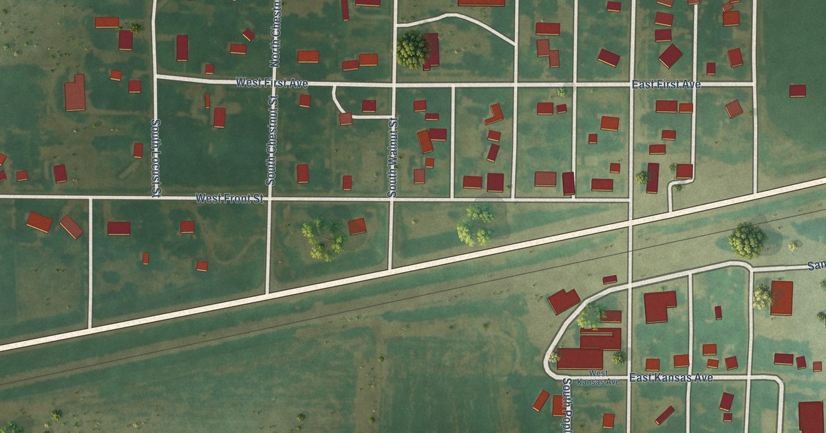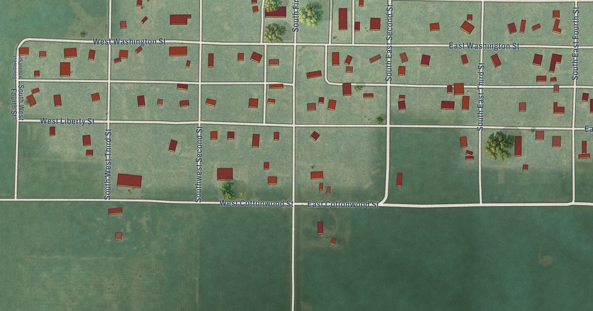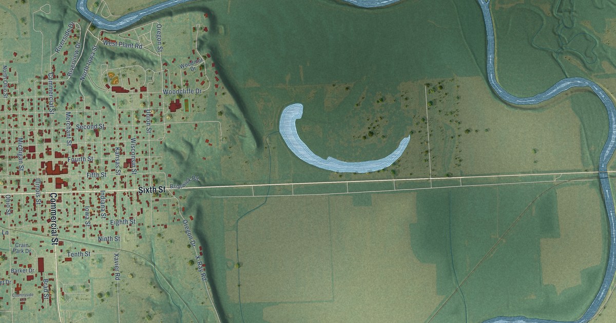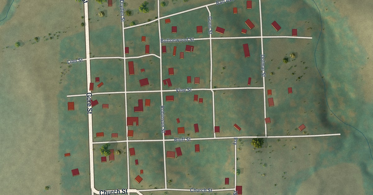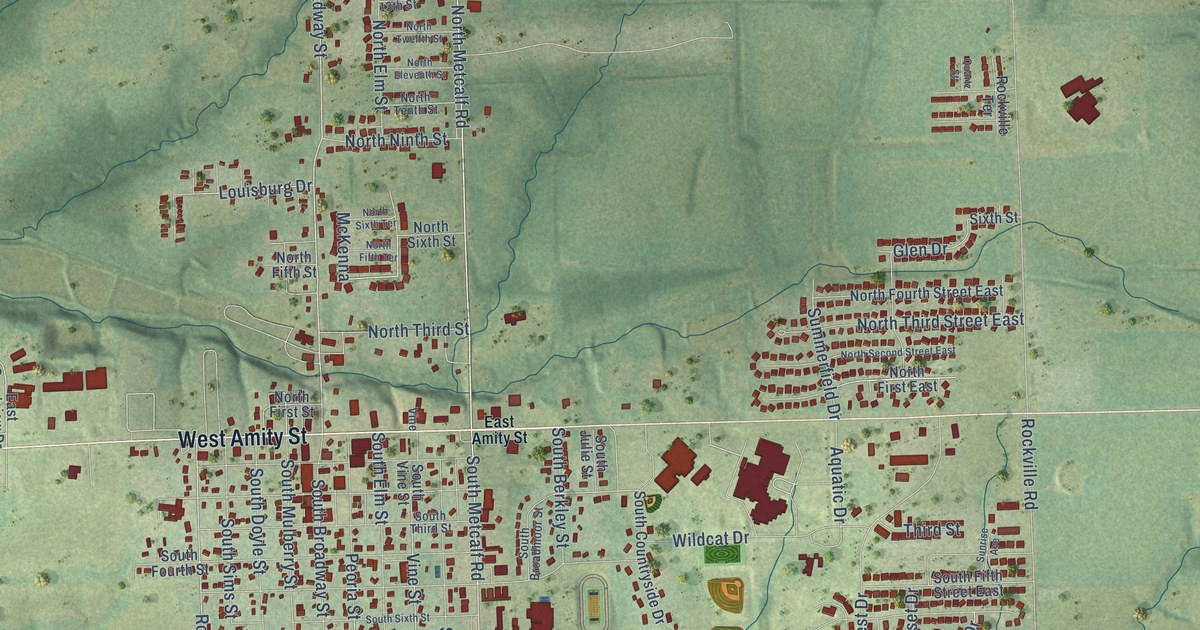
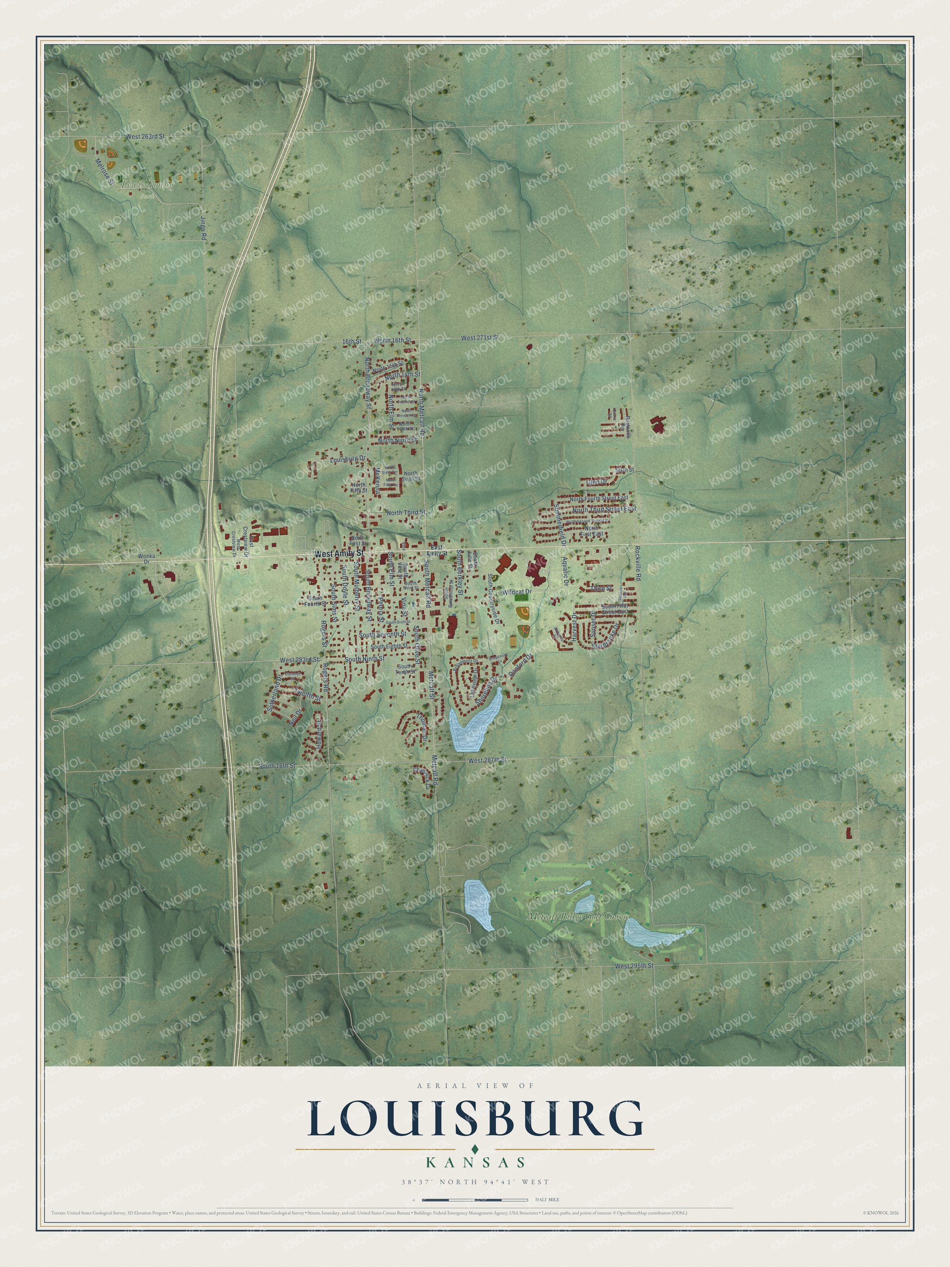
This beautifully detailed map of Louisburg, Kansas was created in 2026 using aerial imagery combined with modern topographical, census, street and landmark data. It's a modern aerial view of Louisburg in Miami County, Kansas, that combines modern data with a vintage aesthetic. The roads feature printed names, and if you look closely you can find your exact house accurately shown in its correct location.
Explore an aerial view of Louisburg, Kansas
On this map you'll find Lewis-Young Park, Metcalf Ridge Golf Course, West Amity Street, North Metcalf Road, Melrose Street, South Metcalf Road, North 16th Street, North Broadway Street, Vine Street, Summerfield Drive, Glen Drive, Rogers Street, and more. Each red shape is a building, so zoom in on the preview and look for yours.
Here is a piece of Louisburg history, in the words of the record. The record at kancoll.org puts it this way: "Wea Postoffice was established October 8, 1873, and is located at the southwest corner of Section 29, Township 15, Range 25."
Louisburg is a city in Miami County. The Census Bureau counted 4,969 people here in 2020.
Take a closer look at the Louisburg map
Names on this map
These names are printed on this map.
Places: Lewis-Young Park and Metcalf Ridge Golf Course.
Streets and roads: West Amity Street, North Metcalf Road, Melrose Street, South Metcalf Road, North 16th Street, North Broadway Street, Vine Street, Summerfield Drive, Glen Drive, Rogers Street, Rockville Road, South 16th Street.
More street names, A to Z
16th Street, Aquatic Drive, Autumn Place, Broadmoor Cv, Broadmoor Drive, Chadwick Cv, Danford Drive, East Amity Street, East Crestview Drive, Eleventh Street, Harvest Drive, Howard Street, Jingo Road, Lakeview Drive, Louisburg Drive, McKenna, Metcalf Road, Metcalf Street, Neil Drive, North 13th Street, North 14th Street, North 15th Street, North Eleventh Street, North Elm Street, North Fifth Street, North Fifth Terrace, North First East, North First Street, North Fourth Street East, North Ninth Street, North Second Street East, North Sixth Street, North Sixth Terrace, North Tenth Street, North Third Street, North Third Street East, North Twelfth Street, Peoria Street, Quartz Street, Rockville Terrace, Rogers Road, Shoreline Drive, Sixth Street, South Berkley Street, South Broadmoor Street, South Broadway Street, South Countryside Drive, South Doyle Street, South Eighth Street, South Elm Street, South Fifth Street East, South Fourth Street, South Julie Street, South Mulberry Street, South Ninth Street, South Olive Street, South Seventh Street, South Sims Street, South Sixth Street, South Tenth Street, South Third Street, South Vine Street, Starbrooke Drive, Sunrise Avenue, Sunset Drive, Sutherland Drive, Third Street, Thomas Drive, Twelfth Street, Vine, West 263rd Street, West 271st Street, West 283rd Street, West 287th Street, West 295th Street, West Crestview Drive, Wildcat Drive, Wonka Drive.
Created by KNOWOL in 2026. The buildings are small red shapes, the roads carry their printed names, and shaded relief shows the shape of the land. The title panel reads "AERIAL VIEW OF LOUISBURG KANSAS" with 38°37' NORTH 94°41' WEST.
It suits a den, a classroom or a front hall, and it makes a gift for anyone with Louisburg roots. Open the preview and find the block you know. See sizes and frames for the Louisburg map.