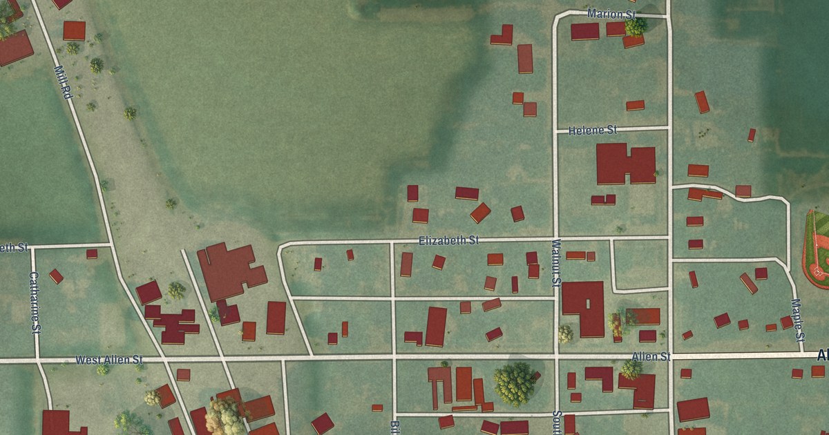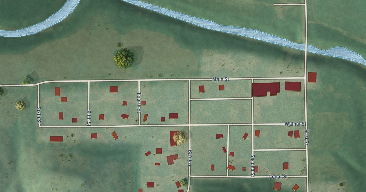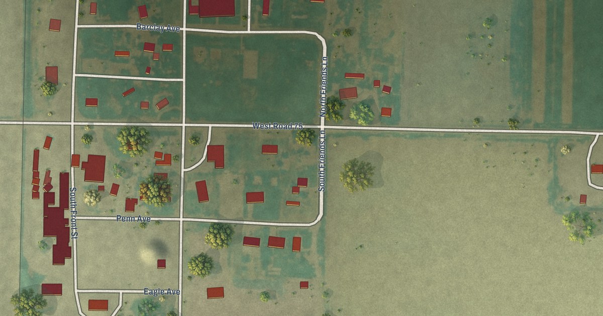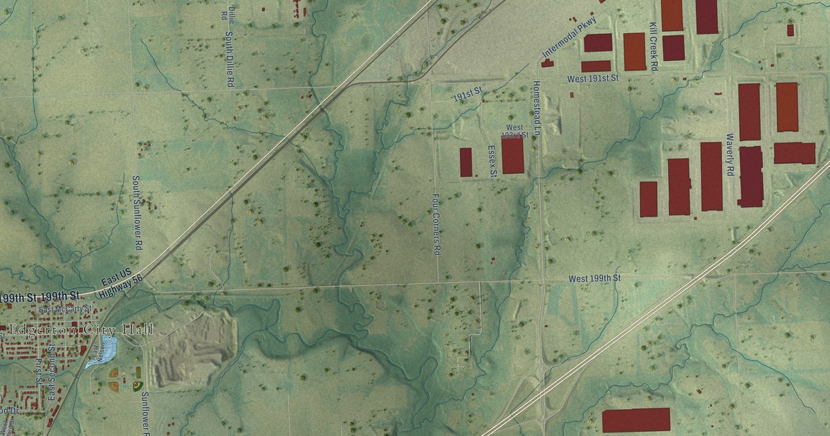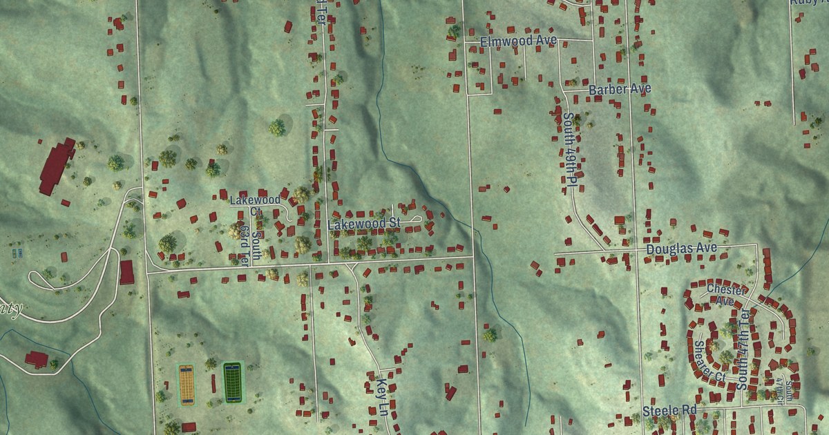
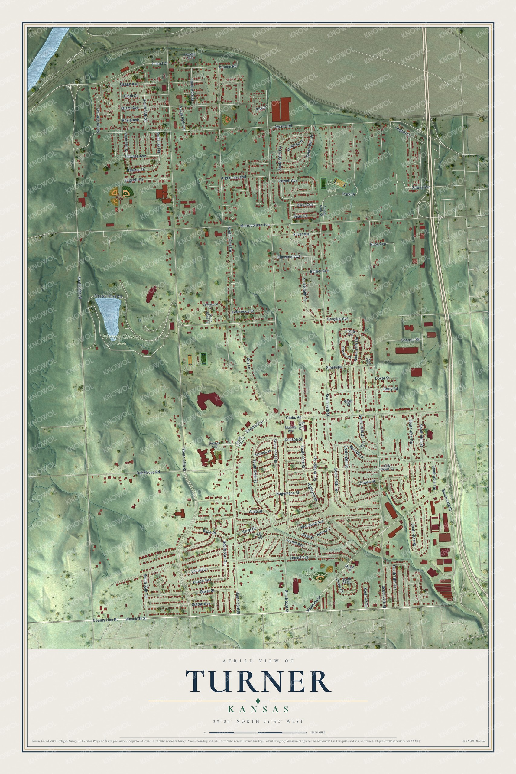
This beautifully detailed map of Turner, Kansas was created in 2026 using aerial imagery combined with modern topographical, census, street and landmark data. It’s a one-of-a-kind view of Turner that combines accurate data with a vintage aesthetic. The map shows every building in its true location, many of the roads carry their names, and the shaded topographic relief shows the shape of the land.
Explore an aerial view of Turner, Kansas
On the map you’ll find Alvey Park, Highland Park, and Pierson County Park, along with Pierson Park Road, Shawnee Drive, West 47th Street, County Line Road, South 53rd Terrace, South 53 Lane, Douglas Avenue, Dodson Street, Hazen Avenue, and more. If you look closely you can even find your house accurately drawn in its correct location. Zoom in on the preview to look for yours.
Did You Know?
In 1828 Cyprian Chouteau opened the first trading post here for the American Fur Company. Two years later Reverend Thomas Johnson built the first Shawnee Methodist Mission nearby. The mission served the Shawnee until 1839. That year its school moved to a new site in Johnson County.
Turner is a place in Wyandotte County.
Take a closer look at the Turner map
Names on this map
These names are printed on this map.
Places: Alvey Park, Highland Park and Pierson County Park.
Streets and roads: Pierson Park Road, Shawnee Drive, West 47th Street, County Line Road, South 53rd Terrace, South 53 Lane, Douglas Avenue, Dodson Street, Hazen Avenue, Pawnee Avenue, South 55th Street, South 46th Street.
More street names, A to Z
Alma Street, Argentine Boulevard, August Lane, Barber Avenue, Berry Road, Chester Avenue, Clark Street, Crest Drive, Custer Avenue, Dixie Avenue, Dixie Court, Dodson Avenue, Dover Street, Edgehill Drive, Elmwood Avenue, Forest Avenue, Gibbs Court, Gibbs Road, Hagemann Street, Harmony Drive, Highland Drive, Inland Drive, Key Lane, Klamm Road, Lakewood Court, Lakewood Street, Locust Avenue, Locust Lane, Matney Avenue, Maxie Court, Melody Drive, Melody Lane, Metropolitan Avenue, Miami Avenue, Natoma Street, Oak Grove Court, Oak Grove Road, Oliver Court, Oliver Street, Osage Avenue, Ottawa Street, Park Drive, Pawnee Drive, Pitkin, Pitkin Avenue, Powell Avenue, Ruby Avenue, Shearer Court, Shearer Road, Silver Avenue, South 44th Street, South 44th Terrace, South 45th Street, South 45th Terrace, South 46th Terrace, South 47 Terrace, South 47th Circle, South 47th Drive, South 47th Street, South 47th Terrace, South 48 Drive, South 48th Street, South 48th Terrace, South 49th Drive, South 49th Place, South 49th Street, South 49th Terrace, South 50 Street, South 50th Drive, South 50th Street, South 50th Terrace, South 51st Street, South 51st Terrace, South 52 Street, South 52nd Street, South 52nd Terrace, South 53rd Lane, South 53rd Street, South 54th Street, South 54th Terrace, South 55 Terrace, South 56th Street, South 56th Terrace, South 57th Street, South 57th Terrace, South 59th Street, South 63rd Terrace, Steele Road, Strong Avenue, Sutton Avenue, Swartz Road, Turner Park Road, Vista Drive, Vista Street, Woodend Avenue.
See it on a wall
The Turner map as a framed print. Swipe for more.


This beautifully detailed map of Turner makes an attractive addition to your office, library, or den, and it can even be used to teach children the geography and history of the area. It also makes a great gift for anyone with Turner roots. When you’re done exploring, click here to get your copy of the Turner map.