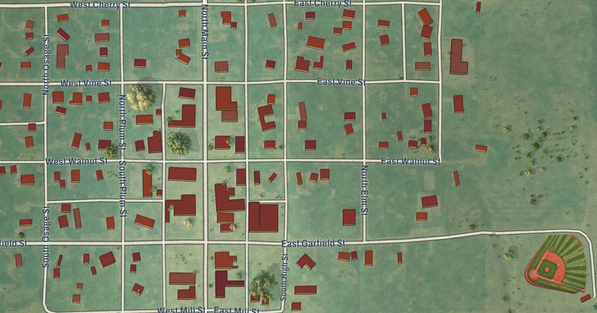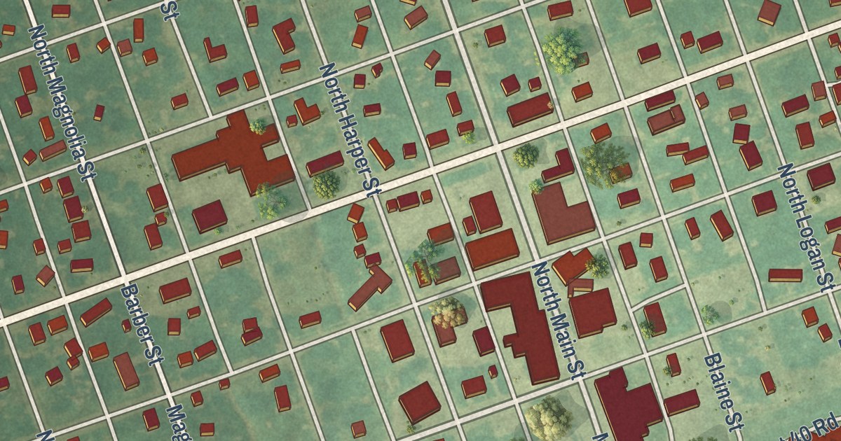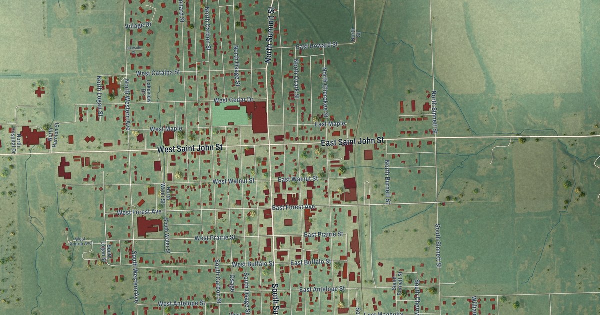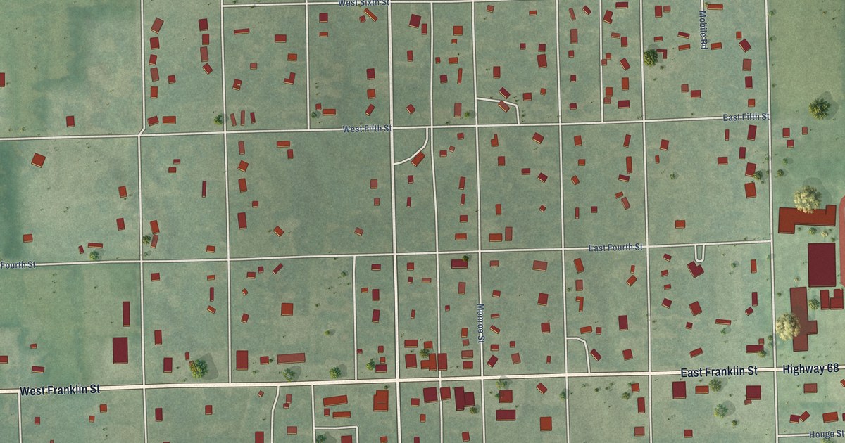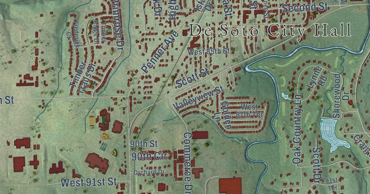
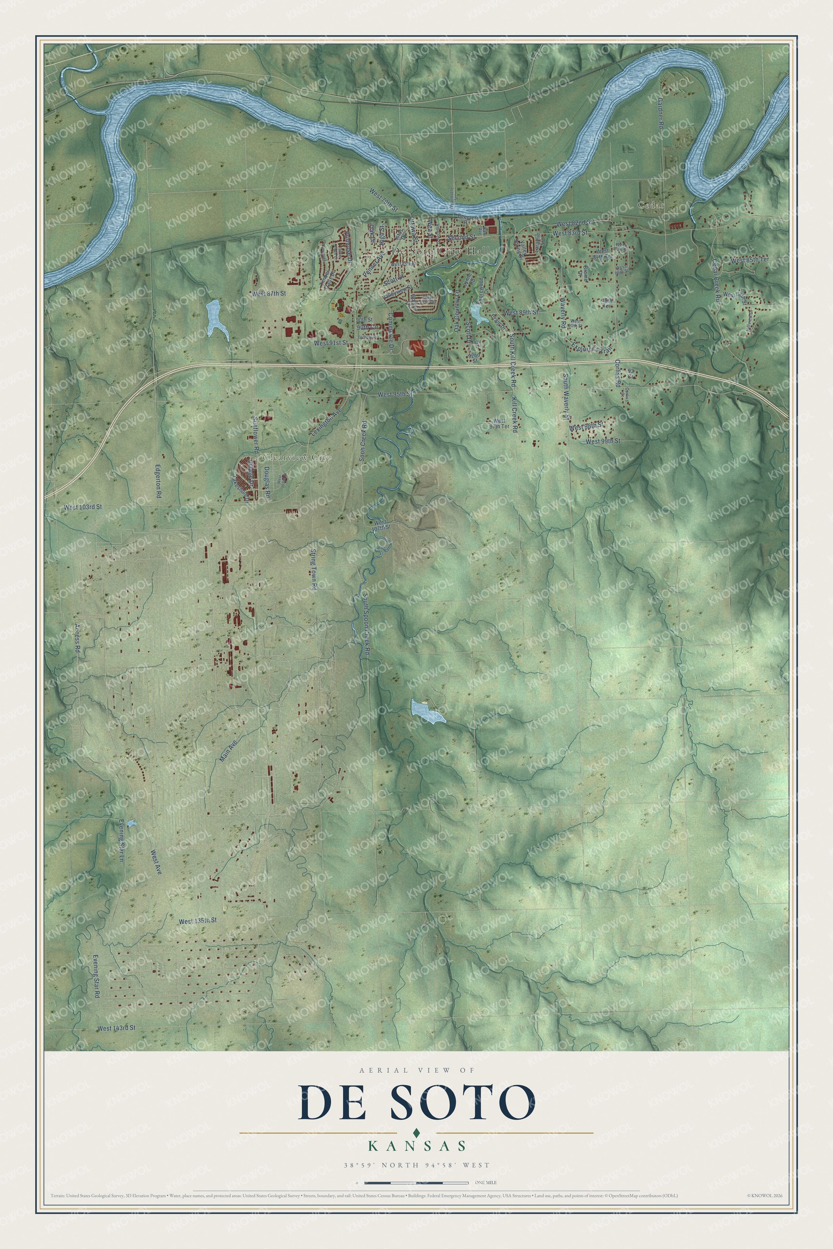
This beautifully detailed map of De Soto, Kansas was created in 2026 using aerial imagery combined with modern topographical, census, street and landmark data. It’s a one-of-a-kind view of De Soto that combines accurate data with a vintage aesthetic. The map shows every building in its true location, many of the roads carry their names, and the shaded topographic relief shows the shape of the land.
Explore an aerial view of De Soto, Kansas
On the map you’ll find De Soto City Hall, Cedar, and Clearview City, along with Access Road, West 135th Street, South Spoon Creek Road, Evening Star Road, West 89th Street, Oak Country Lane, Scott Street, Oak Drive, West 95th Street, and more. If you look closely you can even find your house accurately drawn in its correct location. Zoom in on the preview to look for yours.
Did you know this piece of De Soto, Kansas history?
From Kancoll.org: "The first frame building upon the town site was occupied for a short time as a store by Zera Nichols."
Take a closer look at the De Soto map
Street and place names on the De Soto, Kansas map
These names are printed on the map of De Soto, Kansas.
Places: De Soto City Hall, Cedar and Clearview City.
Streets and roads: Access Road, West 135th Street, South Spoon Creek Road, Evening Star Road, West 89th Street, Oak Country Lane, Scott Street, Oak Drive, West 95th Street, West Avenue, Main Avenue, West 83rd Street.
More street names, A to Z
88th Terrace, 90th Circle, 90th Street, 91st Terrace, 92nd Street, 93 Court, Beecroft Road, Brome Drive, Cedar Creek Road, Commerce Drive, Corliss Court, Corliss Road, Craig Drive, Douglas Road, Edgerton Road, Evening Star Lane, Explorer's Trail, Frederick Court, Gardner Road, Golden Lane, High Street, Hillview Drive, Istas Drive, Kaw Avenue, Kill Creek Road, Lakeshore Drive, Laramie Street, Lexington Avenue, Lynne Road, Orchard Drive, Ottawa Street, Penner Avenue, Primrose Drive, Scott Drive, Second Street, Shawnee Street, Shorewood Drive, Soon Creek Road, South Kill Creek Road, South Waverly Street, String Town Road, Sunflower Road, Timber Ridge Drive, Timber Trails Drive, Valley Spring Drive, Valleyview Street, Village Drive, Waverly Road, Wea Street, West 79th Street, West 82nd Street, West 84th Street, West 84th Terrace, West 85th Street, West 85th Terrace, West 86th Street, West 87th Street, West 87th Terrace, West 88th Street, West 90th Street, West 91st Street, West 97th Terrace, West 98th Street, West 99th Street, West 102nd Street, West 103rd Street, West 107th Street, West 143rd Street, Wyandotte Street.
See the De Soto, Kansas map on a wall
The De Soto map as an 18 x 24 inch print in a black frame.

This beautifully detailed map of De Soto makes an attractive addition to your office, library, or den, and it can even be used to teach children the geography and history of the area. It also makes a great gift for someone who left De Soto and still calls it home. When you’re done exploring, click here to get your copy of the De Soto map.