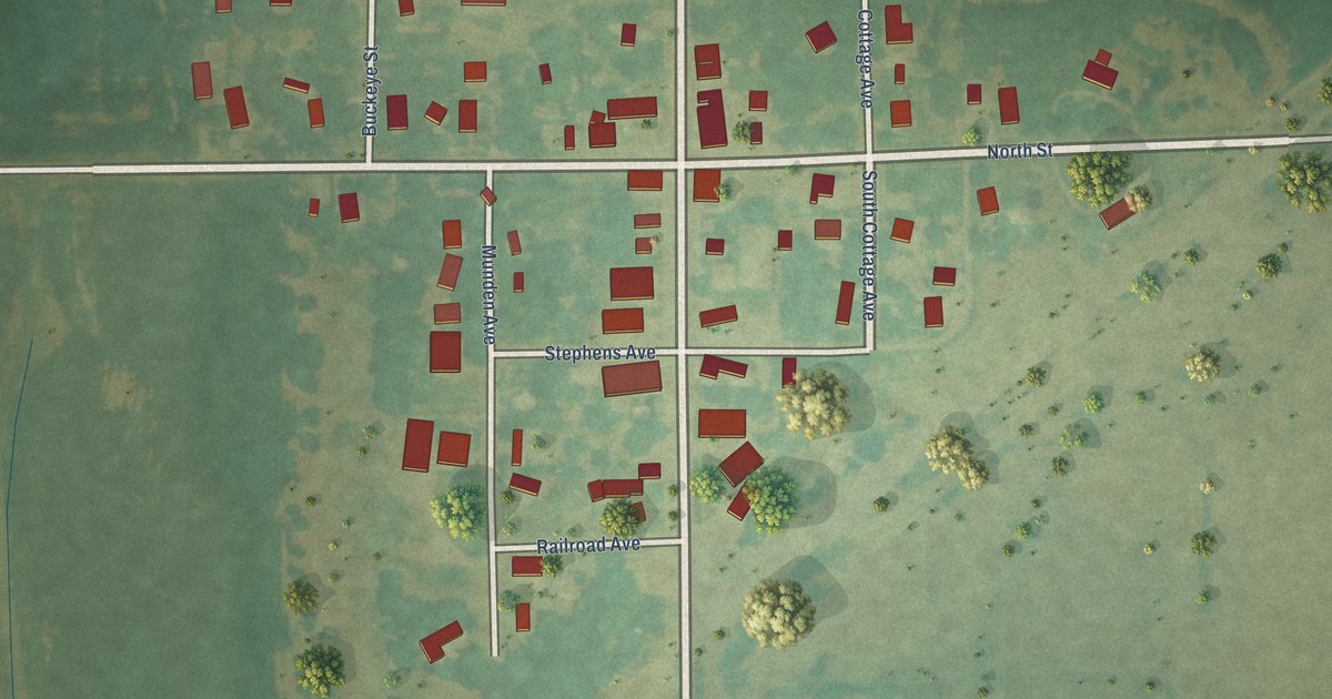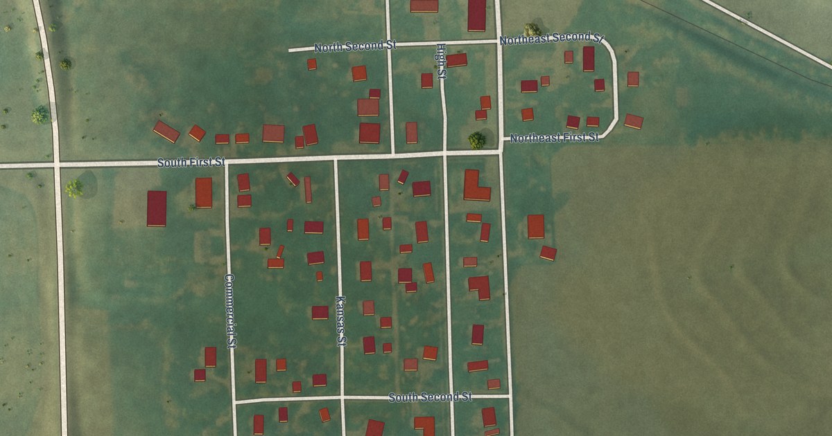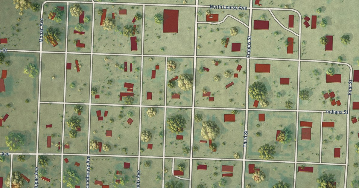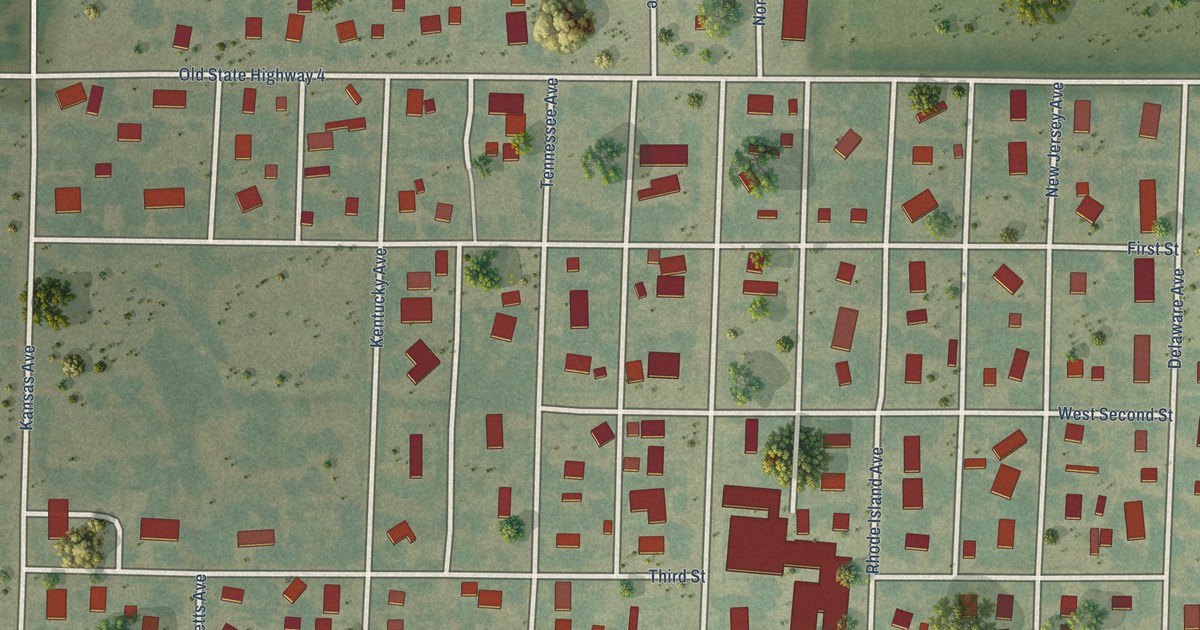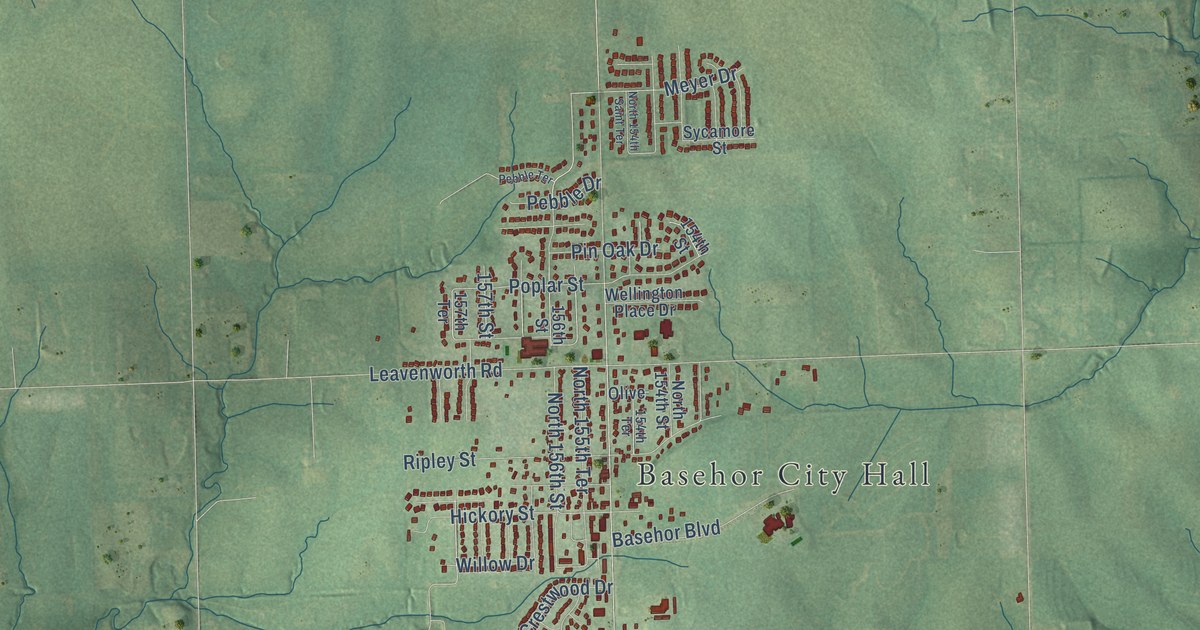
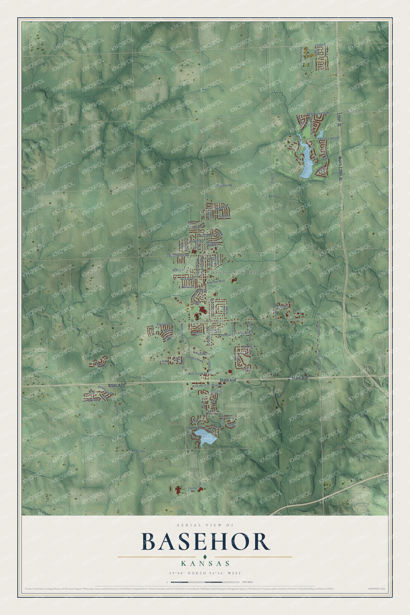
This beautifully detailed map of Basehor, Kansas was created in 2026 using aerial imagery combined with modern topographical, census, street and landmark data. It's a modern aerial view of Basehor in Leavenworth County, Kansas, that combines modern data with a vintage aesthetic. The roads feature printed names, and if you look closely you can find your exact house accurately shown in its correct location.
Explore an aerial view of Basehor, Kansas
On this map you'll find Basehor City Hall, Stone, South Basehor, Wallula, State Avenue, 139th Street, North 139th Street, North 142nd Street, North 155th Terrace, Meyer Drive, Levee 8, 155th Street, and more. Each red shape is a building, so zoom in on the preview and look for yours.
Basehor is a city in Leavenworth County. The Census Bureau counted 6,896 people here in 2020. The map prints the town name in its title panel, with the coordinates below it.
Take a closer look at the Basehor map
Names on this map
These names are printed on this map.
Places: Basehor City Hall, Stone, South Basehor and Wallula.
Streets and roads: State Avenue, 139th Street, North 139th Street, North 142nd Street, North 155th Terrace, Meyer Drive, Levee 8, 155th Street, Pine Hurst Drive, North 158th Street, Josh Street, 150th Street.
More street names, A to Z
140th Street, 141st Place, 141st Street, 141st Terrace, 142nd Street, 143rd Parkway, 143rd Street, 147th Street, 151st Terrace, 152nd Street, 153rd Street, 154th Place, 154th Street, 154th Terrace, 156th Street, 156th Terrace, 157th, 157th Street, 157th Terrace, 158th Court, 158th Street, 161st Terrace, 161th Terrace, 166th Street, 168th Street, 169th Street, Amber Road, Basehor Boulevard, Belrive Circle, Bradfort Court, Briar Road, Cedar Lane, Cedar Street, Chestnut Street, Clubhouse Drive, Conley Road, Craig Street, Crestwood Drive, Crimson Street, Cypress Bnd, Donahoo Road, Elm Street, Evans Road, Falcon Lakes Drive, Garden Parkway, Grandview Avenue, Hickory Street, Hollingsworth Road, Juniper Drive, Knight Road, Lakeside Drive, Lake Side Drive, Landauer Avenue, Landauer Street, Leavenworth Road, North 147th Street, North 150th Street, North 153rd Street, North 154th Saint Terrace, North 154th Street, North 154th Terrace, North 155th Street, North 156th Street, Olive, Parallel Lane, Parallel Road, Pebble Drive, Pebble Terrace, Pine Court, Pinehurst Drive, Pine Ridge, Pine Ridge Road, Pin Oak Drive, Poplar Street, Prairie Way, Ripley Street, Ruby Way, Sycamore Street, Wellington Place Drive, Willow Drive, Wolf Creek Parkway.
Created by KNOWOL in 2026. The buildings are small red shapes, the roads carry their printed names, and shaded relief shows the shape of the land. The title panel reads "AERIAL VIEW OF BASEHOR KANSAS" with 39°08' NORTH 94°56' WEST.
It looks right in a kitchen, an office or a den, and it's a gift for anyone who grew up in Basehor or moved away. Open the preview and find your street. See sizes and frames for the Basehor map.