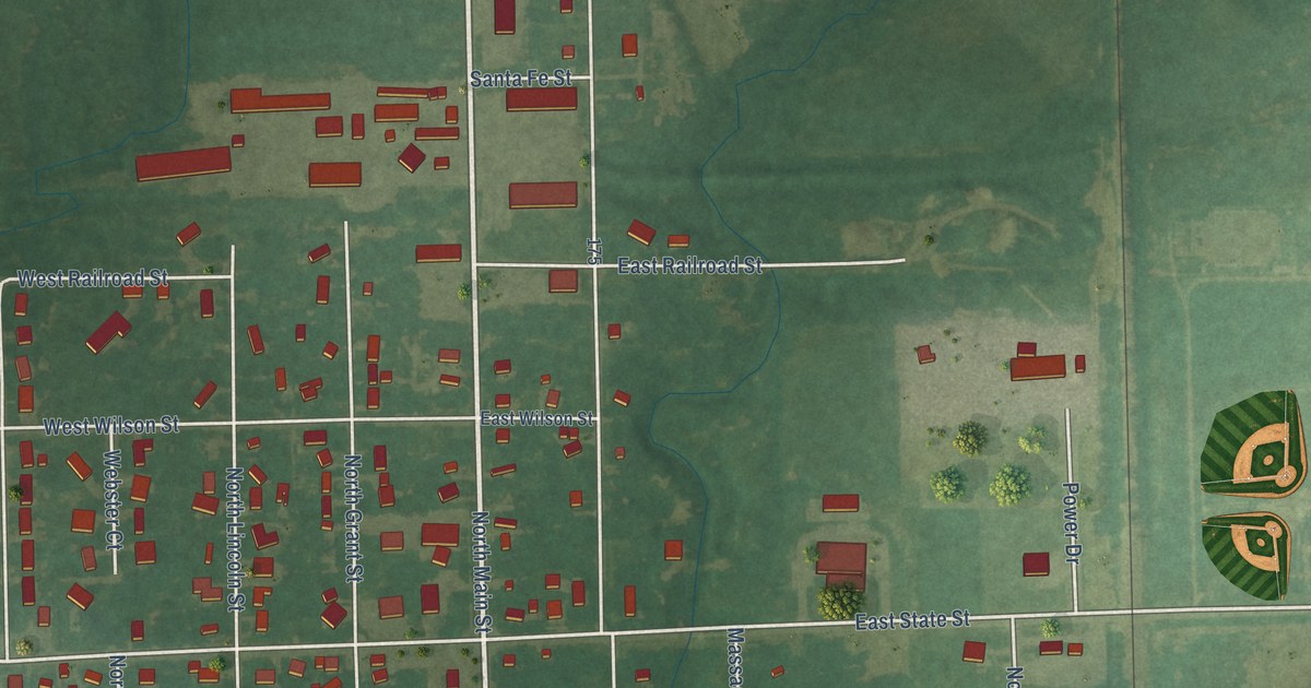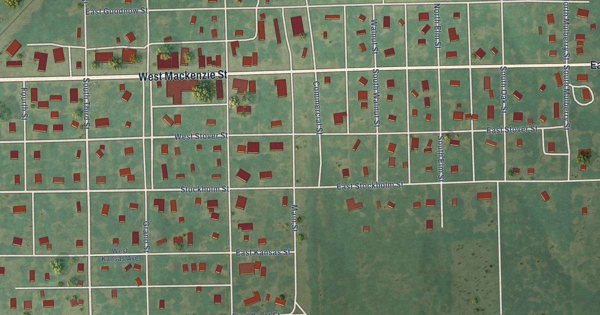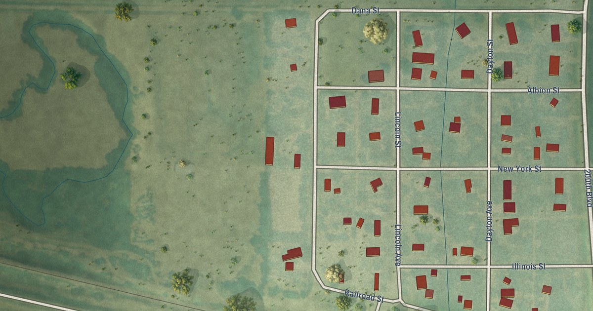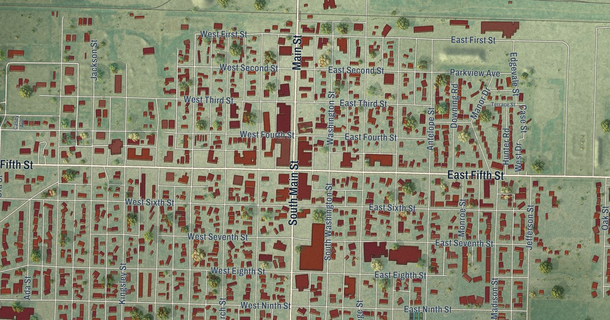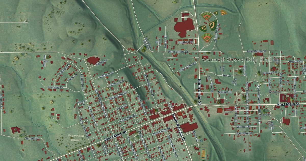
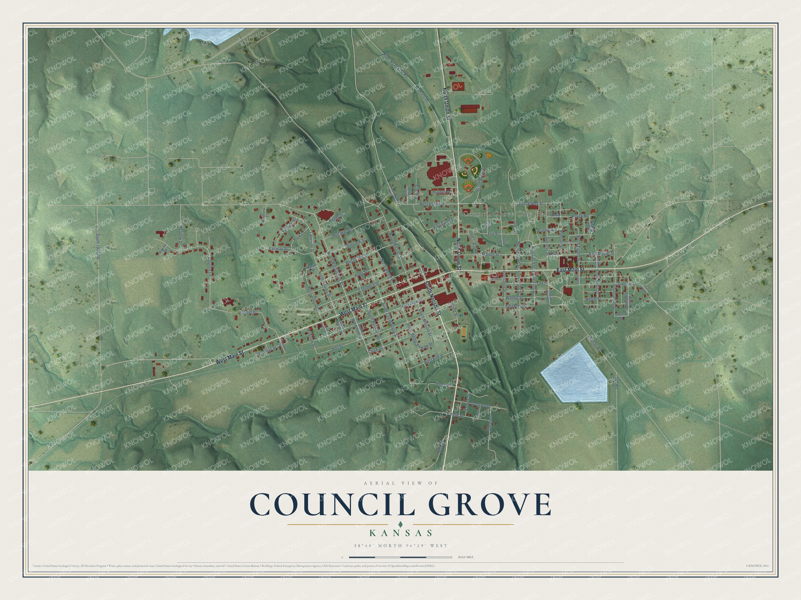
This beautifully detailed map of Council Grove, Kansas was created in 2026 using aerial imagery combined with modern topographical, census, street and landmark data. It's a modern aerial view of Council Grove in Morris County, Kansas, that combines modern data with a vintage aesthetic. The roads feature printed names, and if you look closely you can find your exact house accurately shown in its correct location.
Explore an aerial view of Council Grove, Kansas
On this map you'll find Council Grove City Hall, Greenwood Cemetery, South Neosho Street, West Main Street, North Union Street, East Main Street, North Washington Street, North Eighth Street, Lakeside Drive, East Valley Street, South Ninth Street, East Elm Street, and more. Each red shape is a building, so zoom in on the preview and look for yours.
Every town has a first chapter, and Council Grove is no exception. The record at kancoll.org puts it this way: "The first house built in Council Grove was by him, which was a log cabin, and which stood on the north side of the old Santa Fe Trail, and but a few rods from the west bank of the river."
Council Grove is a city in Morris County. The Census Bureau counted 2,140 people here in 2020.
Take a closer look at the Council Grove map
Names on this map
These names are printed on this map.
Places: Council Grove City Hall and Greenwood Cemetery.
Streets and roads: South Neosho Street, West Main Street, North Union Street, East Main Street, North Washington Street, North Eighth Street, Lakeside Drive, East Valley Street, South Ninth Street, East Elm Street, South Chautauqua Street, North Adams Street.
More street names, A to Z
750 Road, 900 Road, Chick Street, Columbia Street, Country Lane, Custer Avenue, Donnon Street, Douglas Street, Dunlap Road, East Conn Street, East Mosier Street, Fairway Drive, Fox Street, Glen Street, Grove Street, Guston Street, Hall Street, Hays Street, Hillside Drive, Hockaday Street, Houck Road, Huffaker Street, Hughes Street, Inman Street, Jennings Street, Jersey Street, Jonathon, Kaw Street, Keller Street, Liberty Street, Madison Street, Market Street, McCardell Street, Meadow Drive, Mosier Street, North Belfry Street, North Fourth Street, North Jefferson Street, North Mission Street, North Neosho Street, North Ninth Street, Oak Street, Orchard Street, Park Avenue, Park Lane, Pioneer Village, Preston Street, Railroad Avenue, Ravine Drive, River Road East Road, River Road West Road, Robinson Street, Sample Street, Short Street, Simcock Street, South 700 Road, South 825 Road, South 1000 Road, South Adams Street, South Belfry Street, South Eighth Street, South Eleventh Street, South Fifth Street, South Fourth Street, South Jefferson Street, South Mission Street, South Pool Lane, South Rockhill Street, South Second Street, South Sixth Street, South Tenth Street, South Third Street, South Washington Street, Spencer Street, Stevens Street, Sunset Drive, Velie Street, Vine Street, Walnut Street, Welch Street, West Conn Street, West Elm Street, West Valley Street, Westview Court, White Street, Wood Street.
Created by KNOWOL in 2026. The buildings are small red shapes, the roads carry their printed names, and shaded relief shows the shape of the land. The title panel reads "AERIAL VIEW OF COUNCIL GROVE KANSAS" with 38°40' NORTH 96°29' WEST.
Hang it in the hallway, the office or the cabin, or give it to someone who left Council Grove and still calls it home. Open the preview and look for a street you know. See sizes and frames for the Council Grove map.