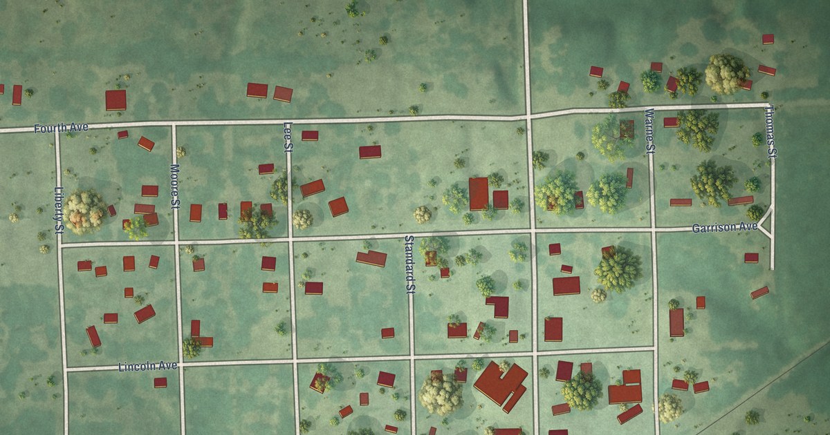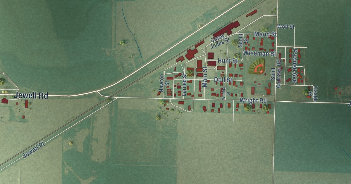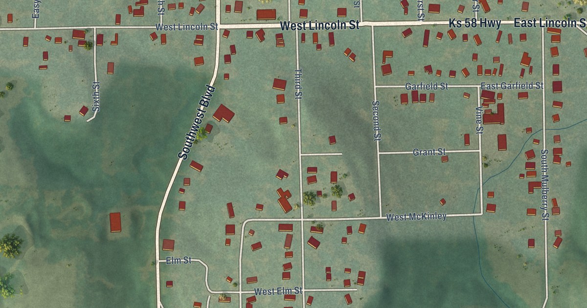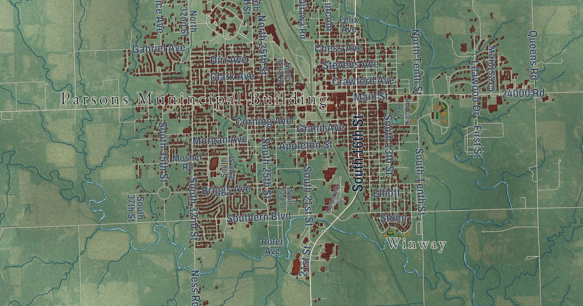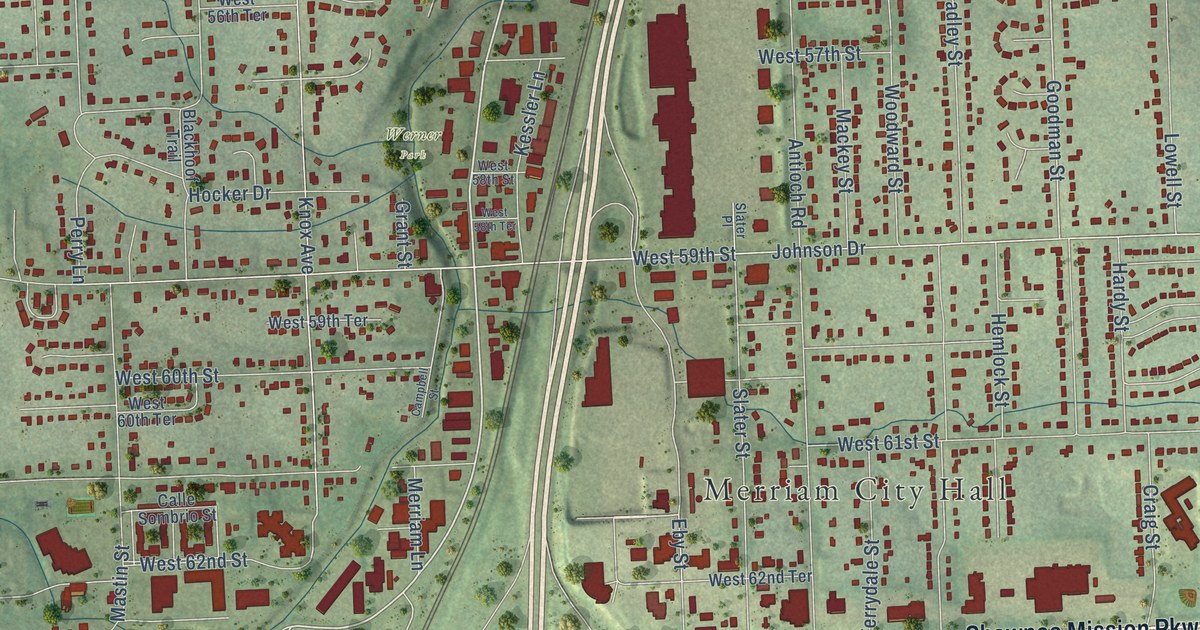
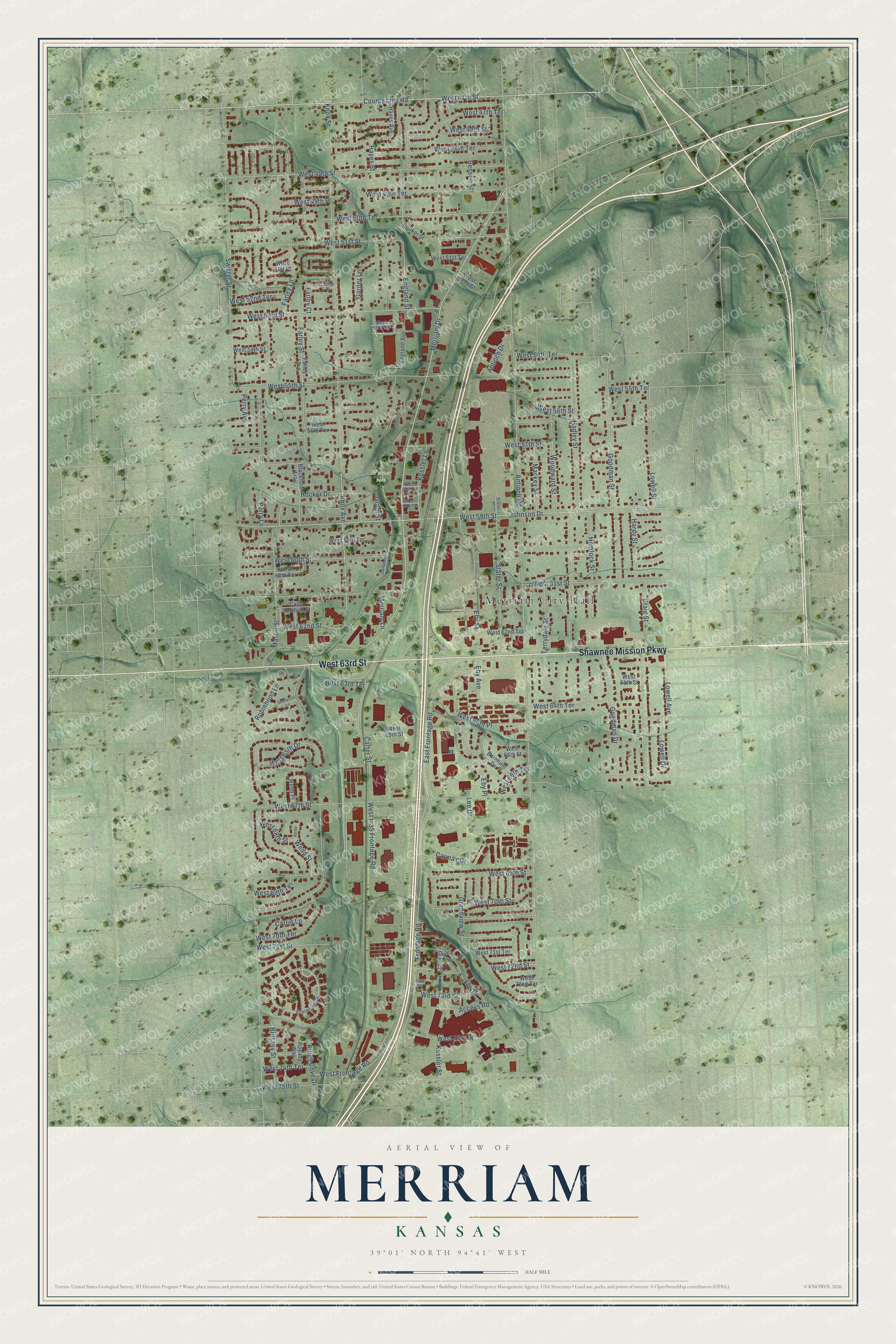
This beautifully detailed map of Merriam, Kansas was created in 2026 using aerial imagery combined with modern topographical, census, street and landmark data. It’s a one-of-a-kind view of Merriam that combines accurate data with a vintage aesthetic. The map shows every building in its true location, many of the roads carry their names, and the shaded topographic relief shows the shape of the land.
Explore an aerial view of Merriam, Kansas
On the map you’ll find Merriam City Hall, Antioch Park, and Werner Park, along with Shawnee Mission Parkway, West 63rd Street, Merriam Drive, County Line Road, Goodman Street, West 62nd Street, West 59th Street, West 47th Street, West 51st Street, and more. If you look closely you can even find your house accurately drawn in its correct location. Zoom in on the preview to look for yours.
Did you know this piece of Merriam, Kansas history?
From the City of Merriam: "In 1870, the first railroad station in Campbellton was built. Additional land was then purchased and the new area was called Merriam, in honor of Charles Merriam, the secretary of the railroad."
Take a closer look at the Merriam map
Street and place names on the Merriam, Kansas map
These names are printed on the map of Merriam, Kansas.
Places: Merriam City Hall, Antioch Park and Werner Park.
Streets and roads: Shawnee Mission Parkway, West 63rd Street, Merriam Drive, County Line Road, Goodman Street, West 62nd Street, West 59th Street, West 47th Street, West 51st Street, Knox Avenue, West 70th Street, Antioch Road.
More street names, A to Z
52nd Street, 72nd Street, 72nd Terrace, Access Road, Antioch Drive, Benson Street, Blackhoof Trail, Booker Street, Brittany Street, Burnham Drive, Calle Sombrio Street, Campbell Street, Carmax Drive, Carrie Lane, Carter Street, Craig Street, East Frontage Road, Eby Avenue, Eby Drive, Eby Place, Eby Street, Edelweiss Circle, England Avenue, England Street, Farley Avenue, Farley Court, Farley Lane, Farley Street, Frontage Road, Garner Lane, Goodman Drive, Grandview Street, Grant Street, Hadley Street, Hardy Street, Hayes Avenue, Hayes Street, Hemlock Street, Hocker Drive, Johnson Drive, Kessler Lane, Kessler Street, Kings Cove Drive, Knox Street, Lee Drive, Lowell Avenue, Lowell Drive, Lowell Street, Mackey Street, Mastin Street, Merriam Lane, Perry Avenue, Perry Lane, Robinhood Lane, Royalty Way, Sherwood Lane, Slater Place, Slater Street, Switzer Street, Terrydale Street, Wedd, Wedd Place, Wedd Street, West 47th Terrace, West 48th Street, West 48th Terrace, West 49th Place, West 49th Street, West 49th Terrace, West 50th Terrace, West 51st Place, West 51st Terrace, West 52nd Street, West 52nd Terrace, West 53rd Street, West 53rd Terrace, West 54th Street, West 54th Terrace, West 55th Street, West 55th Terrace, West 56th Street, West 56th Terrace, West 57th Street, West 58th Street, West 58th Terrace, West 59th Terrace, West 60th Street, West 60th Terrace, West 61st Street, West 62nd Terrace, West 63rd Terrace, West 64th Place, West 64th Street, West 64th Terrace, West 65th Drive, West 65th Street, West 66th Street, West 66th Terrace, West 67th Street, West 68th Street, West 69th Street, West 69th Terrace, West 70th Terrace, West 71st Street, West 71st Terrace, West 72nd Street, West 72nd Terrace, West 73rd Street, West 74th Street, West 74th Terrace, West 75th Street, West Frontage Road, West I- 35 Frontage Road, Woodward Street.
See the Merriam, Kansas map on a wall
The Merriam map as an 18 x 24 inch print in a black frame.

This beautifully detailed map of Merriam makes an attractive addition to your office, library, or den, and it can even be used to teach children the geography and history of the area. It also makes a great gift for anyone with Merriam roots. When you’re done exploring, click here to get your copy of the Merriam map.