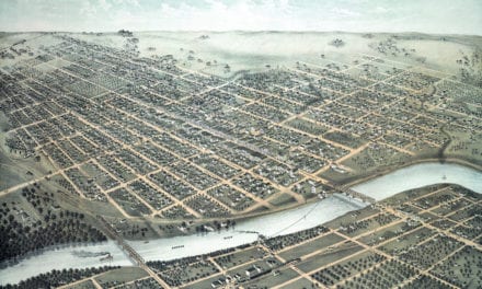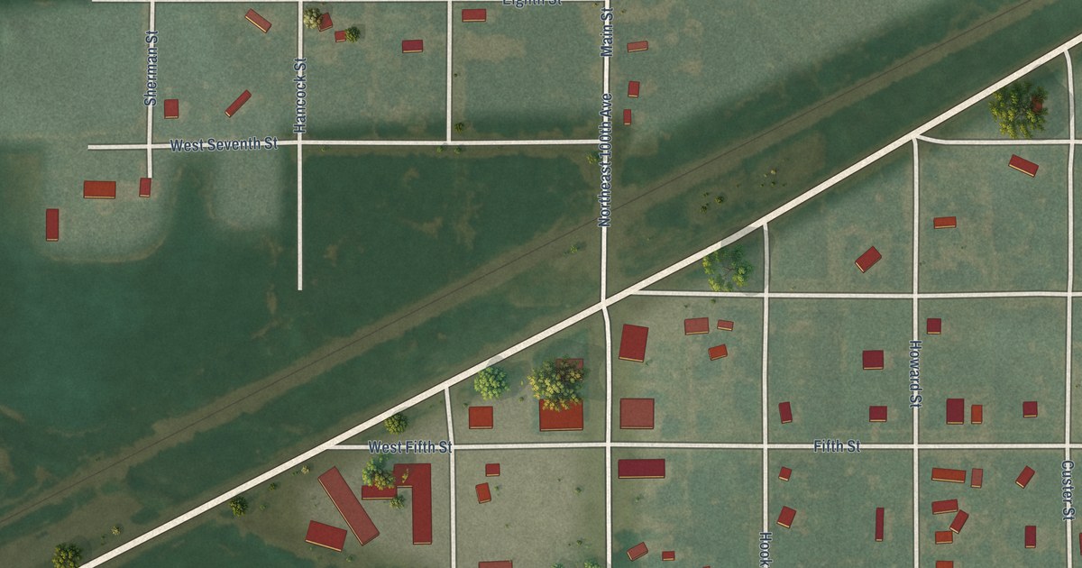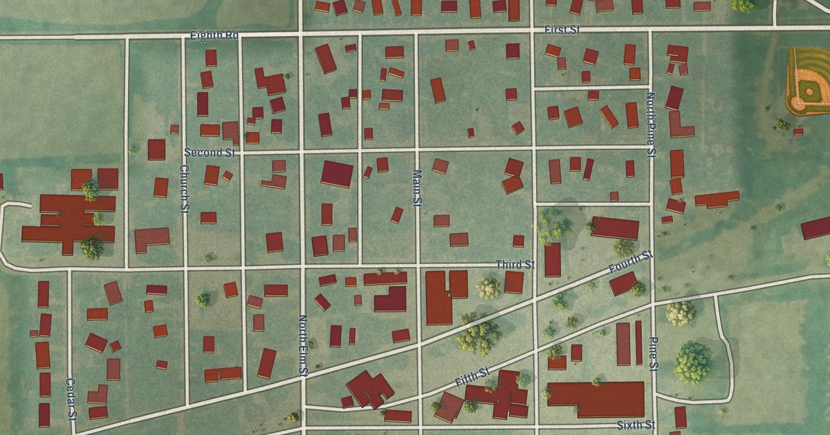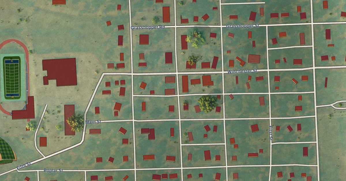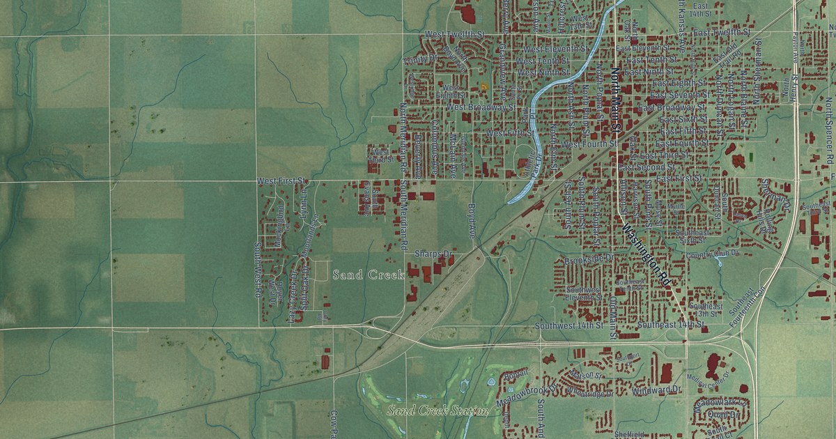
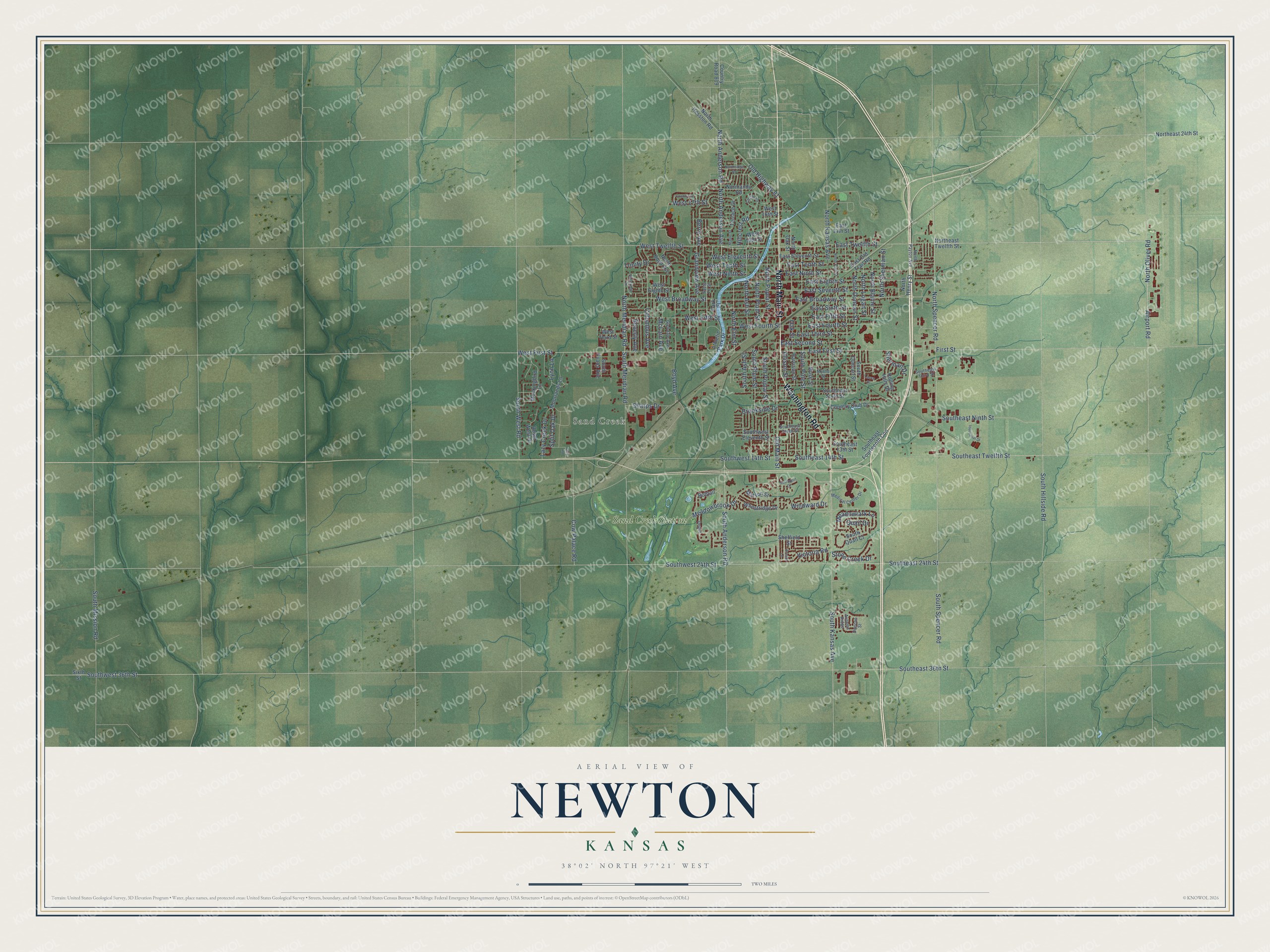
This beautifully detailed map of Newton, Kansas was created in 2026 using aerial imagery combined with modern topographical, census, street and landmark data. It's a modern aerial view of Newton in Harvey County, Kansas, that combines modern data with a vintage aesthetic. The roads feature printed names, and if you look closely you can find your exact house accurately shown in its correct location.
Explore an aerial view of Newton, Kansas
On this map you'll find Sand Creek, Sand Creek Station, North Main Street, Washington Road, West Twelfth Street, North Oliver Road, East Twelfth Street, Airport Road, North Duncan Street, East First Street, West First Street, North Elm Street, and more. Each red shape is a building, so zoom in on the preview and look for yours.
Here is a piece of Newton history, in the words of the record. The Kansas Cyclopedia of State History puts it this way: "The first building to occupy the town site of Newton was brought from Darlington township in March, 1870. Ten years later a thriving little city of the second class, with handsome brick blocks, fine residences, churches, schools and newspapers had grown up."
Newton is a city in Harvey County. The Census Bureau counted 18,602 people here in 2020.
Take a closer look at the Newton map
Names on this map
These names are printed on this map.
Places: Sand Creek and Sand Creek Station.
Streets and roads: North Main Street, Washington Road, West Twelfth Street, North Oliver Road, East Twelfth Street, Airport Road, North Duncan Street, East First Street, West First Street, North Elm Street, North Sherman Street, First Street.
More street names, A to Z
Allison Street, Athletic Park Drive, Autumn Ridge, Berry Avenue, Beverly Avenue, Bobtail, Boyd Avenue, Bristol Lane, Brookside Drive, Circle Drive, Columbus Avenue, Cory Road, Country Club Drive, Country Lane, Country Road 819, Cow Palace Road, Depot, Duncan Street, East 14th Street, East Broadway Street, East Eighth Street, East Eleventh Street, East Fifth Street, East Fourth Street, East Ninth Street, East Old Trail Road, East Second Street, East Seventh Street, East Sixth Street, East Tenth Street, East Third Street, Glendale Avenue, Grandview Avenue, Harrison Street, Hillcrest Road, Industrial Drive, Lance Drive, Lazy Creek Drive, Lynn Lane, Maple Street, Matson Street, McLain Avenue, Meadowbrook Drive, Meadowlark Lane, Medical Center Drive, Mockingbird Lane, Moorlands Lane, Muse Street, Myrtle Street, Normandy Road, North Anderson Avenue, North Anderson Road, North Ash Street, North Blaine Street, North Boyd Avenue, Northeast 24th Street, Northeast Twelfth Street, North Henry Street, North Hesston Road, North High Street, North Kansas Avenue, North Logan Street, North Meridian Road, North Oak Street, North Payton Avenue, North Plum Street, North Poplar Street, Northridge Road, North Spencer Road, Oak Street, Old Highway 81, Old Main Street, Park Place, Quail Drive, Rolling Hills Drive, Royer West Drive, Santa Fe Street, Sharps Drive, Sheffield Street, Sherman Drive, Sixth Street, South Anderson Road, South Ash Street, South Duncan Street, Southeast 13th Street, Southeast 14th Street, Southeast 24th Street, Southeast 36th Street, Southeast Fourteenth Con, Southeast Ninth Street, Southeast Sixth Street, Southeast Tenth Street, Southeast Third Street, Southeast Twelfth Street, South Evans Avenue, South Hillside Road, South Kansas Avenue, South Meridian Road, South Mission Road, South Pine Street, South Plum Street, South Poplar Street, Southport Drive, South Quail Court, South Spencer Road, Southwest 14th Street, Southwest 24th Street, Southwest 36th Street, Southwest Eleventh Street, South West Road, Split Oak Drive, Stone Creek Drive, Terrace Drive, Trinity Drive, Victoria Road, West 13th Street, West 16th Street, West 17th Street, West Broadway Street, West Eighth Street, West Eleventh Street, West Fifth Street, West Fourth Street, West Ninth Street, Westridge Drive, West Tenth Street, West Third Street, Wheatridge Drive, Windward Drive.
Created by KNOWOL in 2026. The buildings are small red shapes, the roads carry their printed names, and shaded relief shows the shape of the land. The title panel reads "AERIAL VIEW OF NEWTON KANSAS" with 38°02' NORTH 97°21' WEST.
It suits a den, a classroom or a front hall, and it makes a gift for anyone with Newton roots. Open the preview and find the block you know. See sizes and frames for the Newton map.