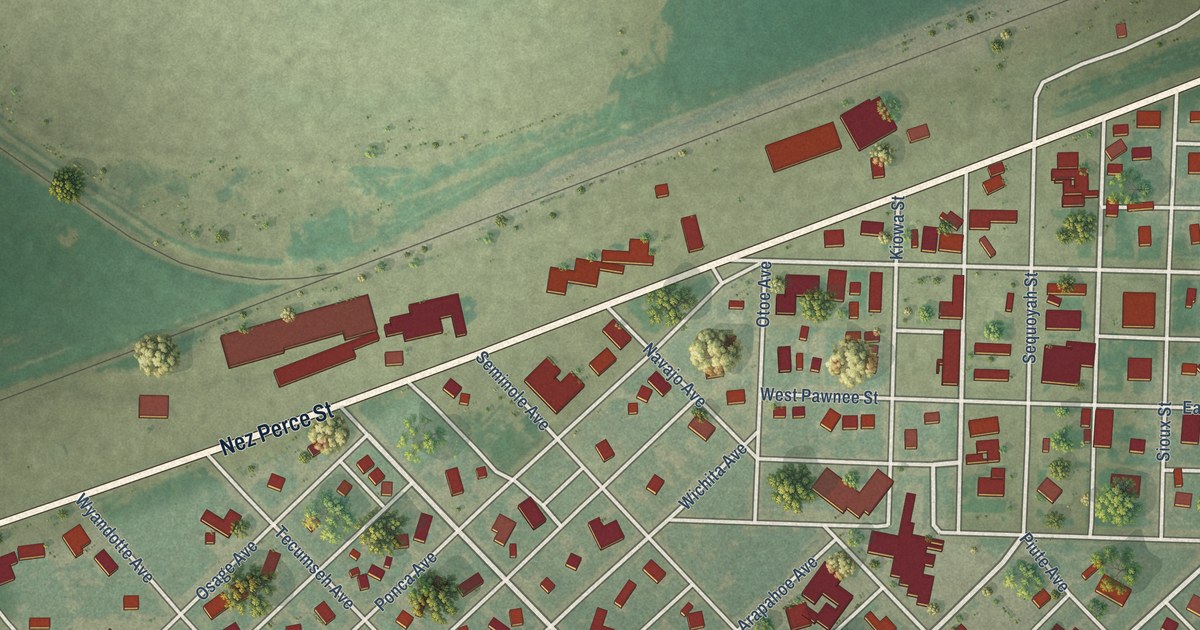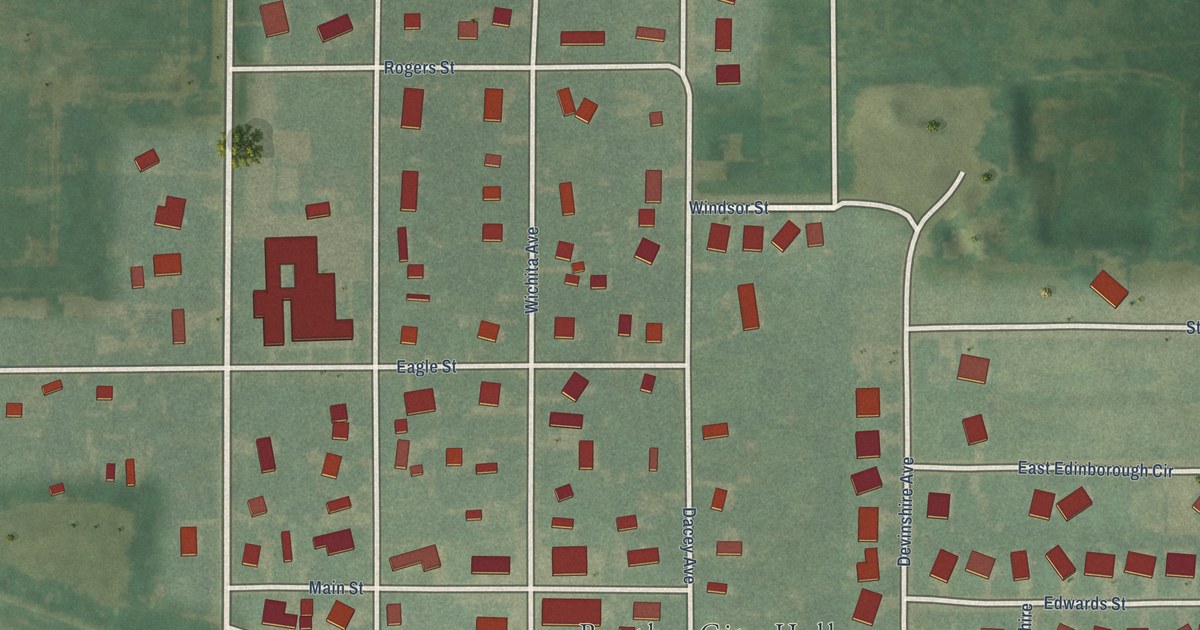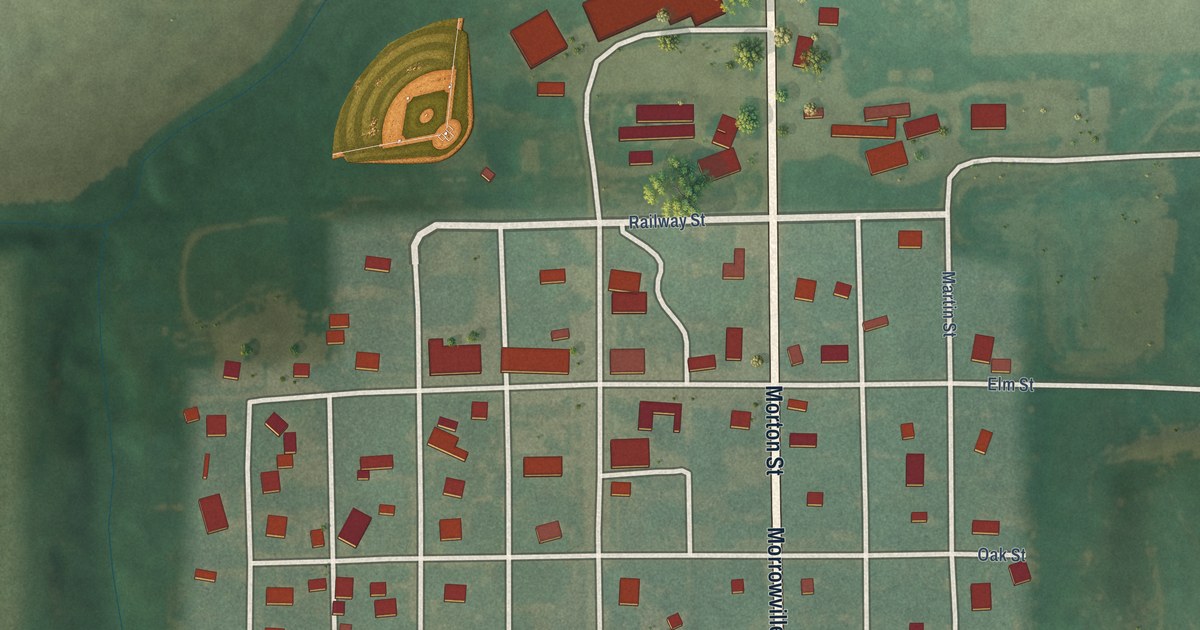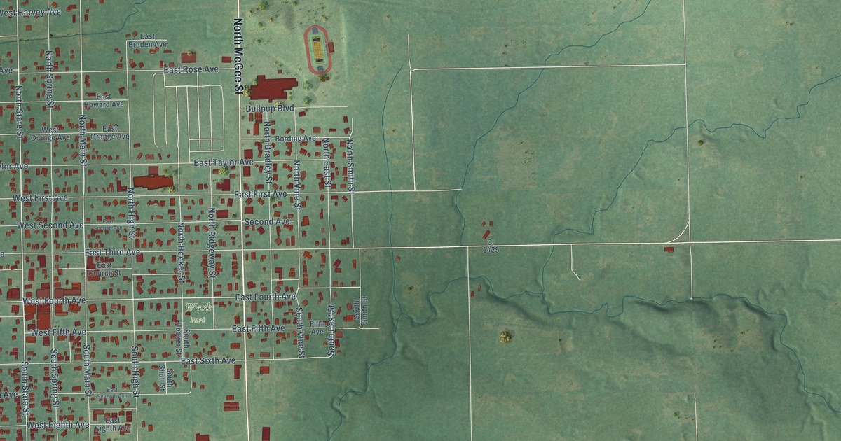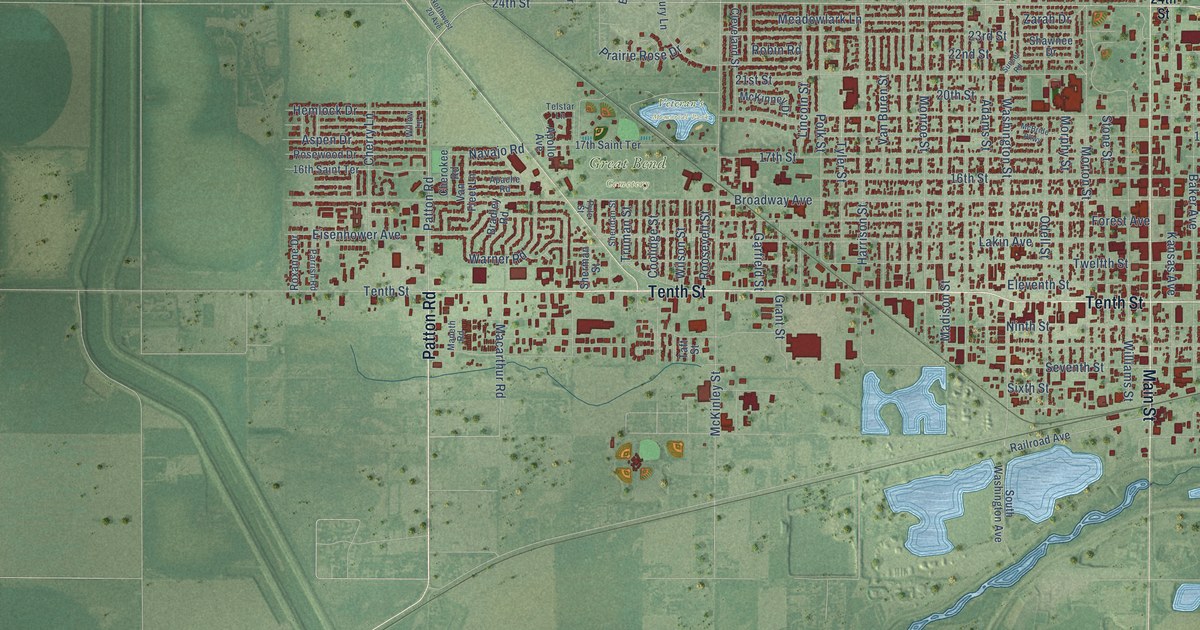
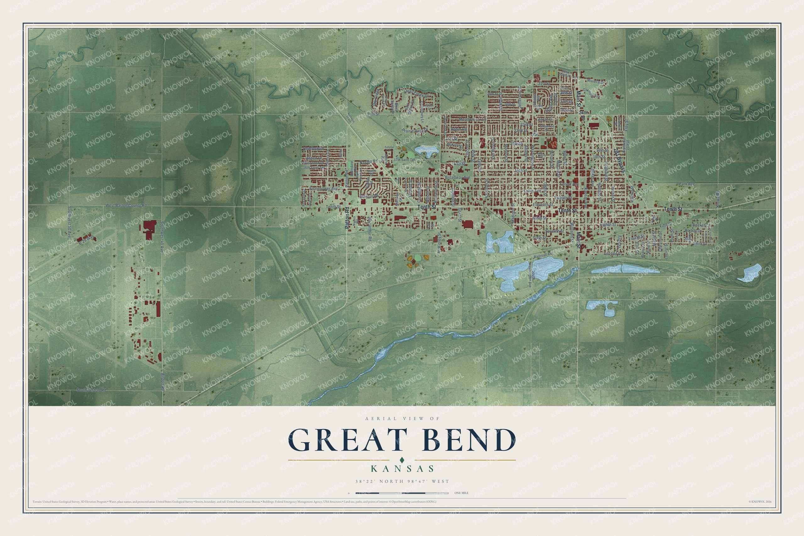
This beautifully detailed map of Great Bend, Kansas was created in 2026 using aerial imagery combined with modern topographical, census, street and landmark data. It's a modern aerial view of Great Bend in Barton County, Kansas, that combines modern data with a vintage aesthetic. The roads feature printed names, and if you look closely you can find your exact house accurately shown in its correct location.
Explore an aerial view of Great Bend, Kansas
On this map you'll find Great Bend Cemetery, Veteran's Memorial Park, Patton Road, Tenth Street, Main Street, 281 Bypass, 24th Street, Maple Street, Southwest 40 Avenue, Washington Street, Fifth Street, B-29 Way, and more. Each red shape is a building, so zoom in on the preview and look for yours.
Every town has a first chapter, and Great Bend is no exception. The record at kancoll.org puts it this way: "Valley Lodge, No. 96, I. O. O. F. , was organized under dispensation, July 11, 1872, and was chartered October 8, 1872, with six charter members."
Great Bend is a city in Barton County. The Census Bureau counted 14,733 people here in 2020.
Take a closer look at the Great Bend map
Names on this map
These names are printed on this map.
Places: Great Bend Cemetery and Veteran's Memorial Park.
Streets and roads: Patton Road, Tenth Street, Main Street, 281 Bypass, 24th Street, Maple Street, Southwest 40 Avenue, Washington Street, Fifth Street, B-29 Way, Broadway Avenue, Eighth Street.
More street names, A to Z
16th Saint Terrace, 16th Street, 17th Saint Terrace, 17th Street, 18th Street, 19th Street, 20th Street, 21st Street, 22nd Street, 23rd Street, 25th Street, 26th Street, 27th Street, 28th Street, 29th Street, 30th Street, 31st Street, 32nd Saint Place, 32nd Street, Adams Street, Airport Road, Almond Street, Apache Road, Apollo Avenue, Aspen Drive, Baker Avenue, Barton Drive, Becker Court, Bonita Avenue, Bradley Road, Canterbury Lane, Cedar Street, Cherokee Road, Cherry Lane, Chestnut Street, Cleveland Street, Coolidge Street, Dry Creek, Eisenhower Avenue, Eleventh Street, Elm Street, Falcon Drive, Firethorn Street, Forest Avenue, Fourth Street, Franklin Street, Frey Street, Fruit Street, Gano Street, Garfield Street, Grant Street, Grapevine Street, Harrison Street, Heizer Street, Hemlock Drive, Hickory Street, Holland Street, Hubbard Street, Jackson Street, Jefferson Street, Kansas Avenue, Kiowa Road, Lakin Avenue, Lincoln Street, Locust Street, Macarthur Road, Madison Street, Maneth Road, McBride Parkway, McKinley Street, McKinney Drive, Meadowlark Lane, Monroe Street, Morphy Street, Morton Street, Navajo Road, Ninth Street, Northeast 10 Avenue, Northwest 20 Avenue, Oakmont Avenue, Odell Street, Park Avenue, Parrish Road, Paseo Drive, Pine Place, Pine Street, Plum Street, Polk Street, Prairie Rose Drive, Pyle Street, Quail Creek Drive, Quivira Avenue, Railroad Avenue, Riviera Drive, Robin Road, Rock Bridge Road, Roosevelt Street, Rosewood Drive, Roxanne Drive, Second Street, Seventh Street, Shawnee Drive, Sheridan Street, Sherman Street, Sixth Street, South Washington Avenue, Southwest 20 Road, Southwest 50 Avenue, Stone Street, Sunset Road, Taft Street, Telstar Lane, Third Street, Timber Creek Road, Truman Street, Twelfth Street, Tyler Street, Van Buren Street, Van Fleet Lane, Walnut Street, Warner Road, West Barton County Road, White Sands Drive, Williams Street, Willow Lane, Wilson Street, Zarah Drive.
Created by KNOWOL in 2026. The buildings are small red shapes, the roads carry their printed names, and shaded relief shows the shape of the land. The title panel reads "AERIAL VIEW OF GREAT BEND KANSAS" with 38°22' NORTH 98°47' WEST.
Hang it in the hallway, the office or the cabin, or give it to someone who left Great Bend and still calls it home. Open the preview and look for a street you know. See sizes and frames for the Great Bend map.