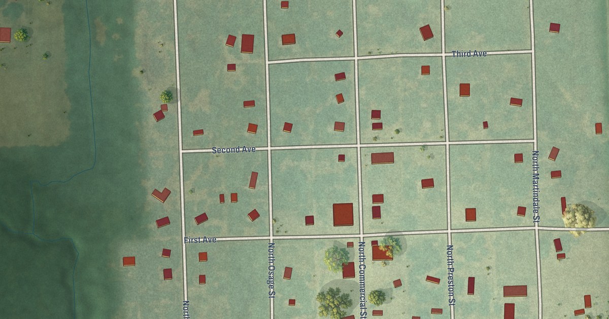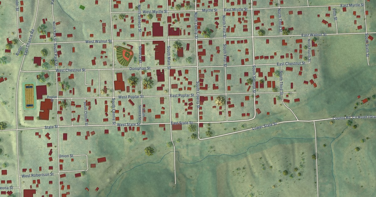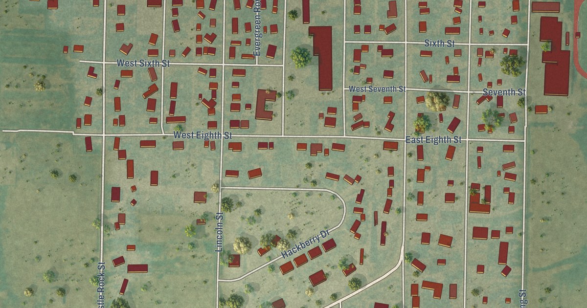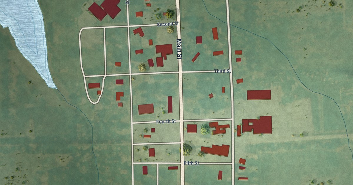
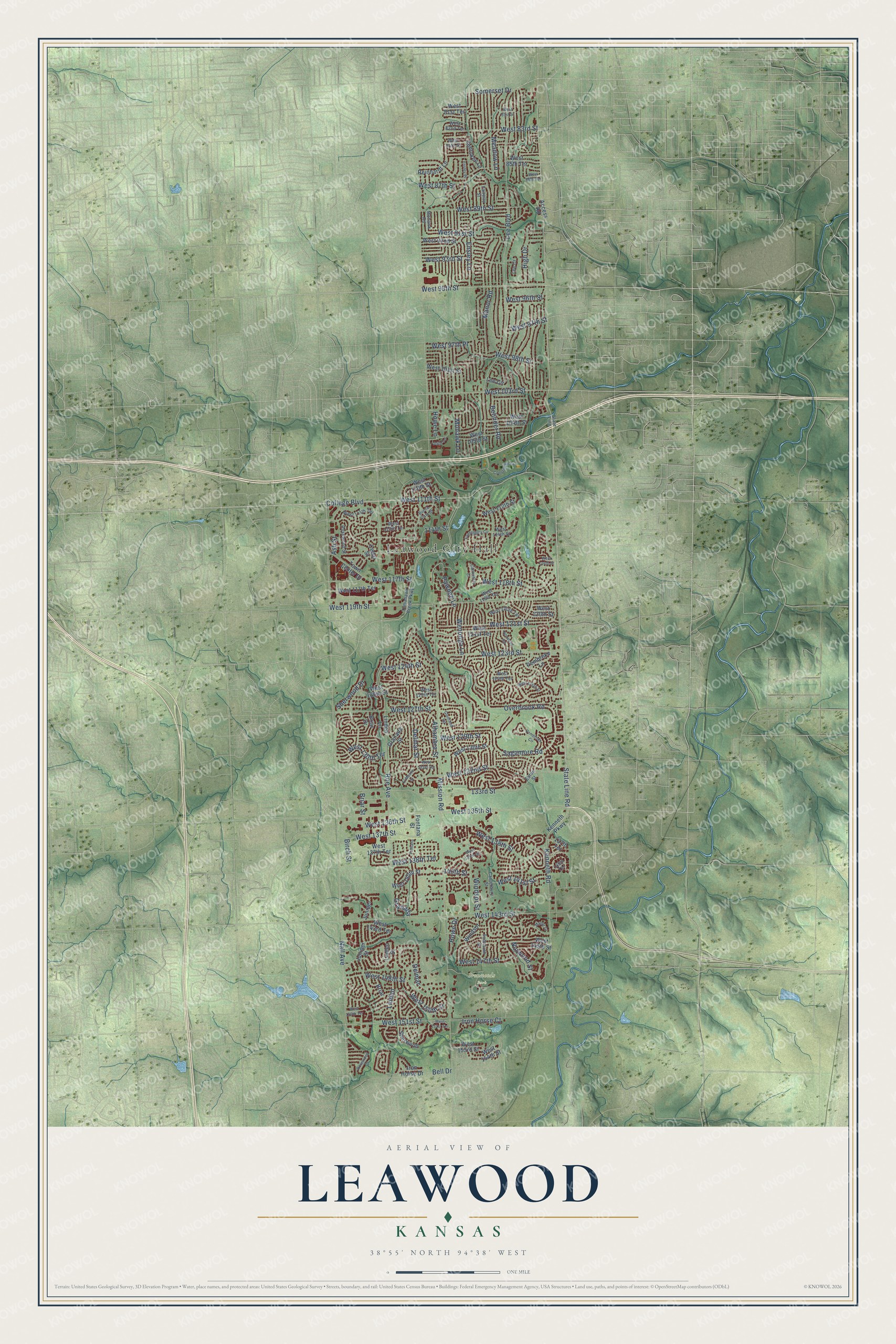
This beautifully detailed map of Leawood, Kansas was created in 2026 using aerial imagery combined with modern topographical, census, street and landmark data. It's a modern aerial view of Leawood in Johnson County, Kansas, that combines modern data with a vintage aesthetic. The roads feature printed names, and if you look closely you can find your exact house accurately shown in its correct location.
Explore an aerial view of Leawood, Kansas
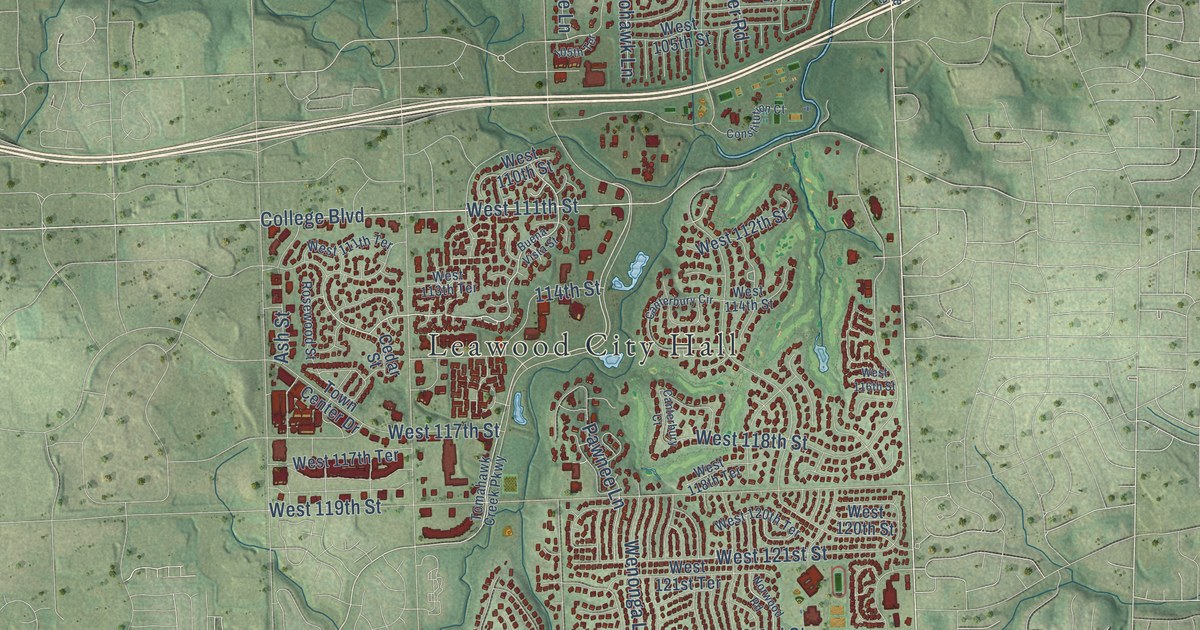
On this map you'll find Leawood City Hall, Ironwoods Park, State Line Road, Overbrook Road, College Boulevard, West 127th Street, West 111th Street, West 95th Street, West 103rd Street, Mission Road, West 137th Street, Birch Street, and more. Each red shape is a building, so zoom in on the preview and look for yours.
Here is a piece of Leawood history, in the words of the record. The City of Leawood puts it this way: "Among those who made Leawood what it is today was Oscar G. Lee, a retired police officer from Oklahoma. When Lee arrived in 1922, he brought with him a lifetime of dreams about his own future."
Leawood is a city in Johnson County. The Census Bureau counted 33,902 people here in 2020.
Take a closer look at the Leawood map
Names on this map
These names are printed on this map.
Places: Leawood City Hall and Ironwoods Park.
Streets and roads: State Line Road, Overbrook Road, College Boulevard, West 127th Street, West 111th Street, West 95th Street, West 103rd Street, Mission Road, West 137th Street, Birch Street, Somerset Drive, Meadow Lane.
More street names, A to Z
105th Terrace, 114th Street, 133rd Street, 137th Terrace, 139th Terrace, 140th Street, Access Road, Alhambra Street, Ash Street, Belinder Road, Bell Drive, Briar, Briar Drive, Briar Street, Buena Vista Street, Canterbury Circle, Canterbury Court, Canterbury Street, Cedar Street, Cherokee Lane, Constitution Court, Delmar, Delmar Street, Eaton Street, El Monte Street, Ensley Lane, Ensley Place, Fairway Street, Falmouth Street, Fontana, Fontana Street, Glenfield Road, Granada, Granada Street, High Drive, Howe Drive, Howe Lane, Iron Horse Court, Iron Horse Drive, Juniper, Juniper Street, Kenneth Parkway, Kenneth Road, Lee Boulevard, Lee Circle, Lee Court, Linden, Linden Lane, Linden Street, Manor Court, Manor Road, Mohawk Lane, Mohawk Road, Nall Avenue, Norwood Road, Norwood Street, Pawnee Lane, Pembroke Circle, Pembroke Lane, Reinhardt Lane, Roe Avenue, Rosewood Drive, Rosewood Street, Sagamore Road, Sherwood, Sherwood Drive, State Line, Tomahawk Creek Parkway, Town Center Drive, Wenonga Lane, West 81st Street, West 81st Terrace, West 82nd Terrace, West 83rd Street, West 84th Street, West 85th Terrace, West 86th Terrace, West 87th Street, West 89th Street, West 91st Street, West 92nd Street, West 93rd Street, West 96th Street, West 97th Place, West 97th Street, West 98th Street, West 101st Street, West 104th Street, West 105th Street, West 110th Street, West 111th Terrace, West 112th Street, West 113th Terrace, West 114th Street, West 116th Street, West 117th Street, West 117th Terrace, West 118th Street, West 118th Terrace, West 119th Street, West 120th Street, West 120th Terrace, West 121st Street, West 121st Terrace, West 123rd Street, West 124th Street, West 124th Terrace, West 125th Street, West 125th Terrace, West 126th Street, West 129th Street, West 130th Street, West 130th Terrace, West 131st Terrace, West 132nd Street, West 135th Street, West 136th Street, West 137th Terrace, West 138th Street, West 138th Terrace, West 139th Street, West 140th Street, West 141st Street, West 143rd Street, West 143rd Terrace, West 145th Street, West 147th Street, West 148th Street, West 150th Street, West 150th Terrace, West 151st Street, West 151st Terrace, West 153rd Street, West 154th Street, Windsor, Windsor Street.
Created by KNOWOL in 2026. The buildings are small red shapes, the roads carry their printed names, and shaded relief shows the shape of the land. The title panel reads "AERIAL VIEW OF LEAWOOD KANSAS" with 38°55' NORTH 94°38' WEST.
It suits a den, a classroom or a front hall, and it makes a gift for anyone with Leawood roots. Open the preview and find the block you know. See sizes and frames for the Leawood map.