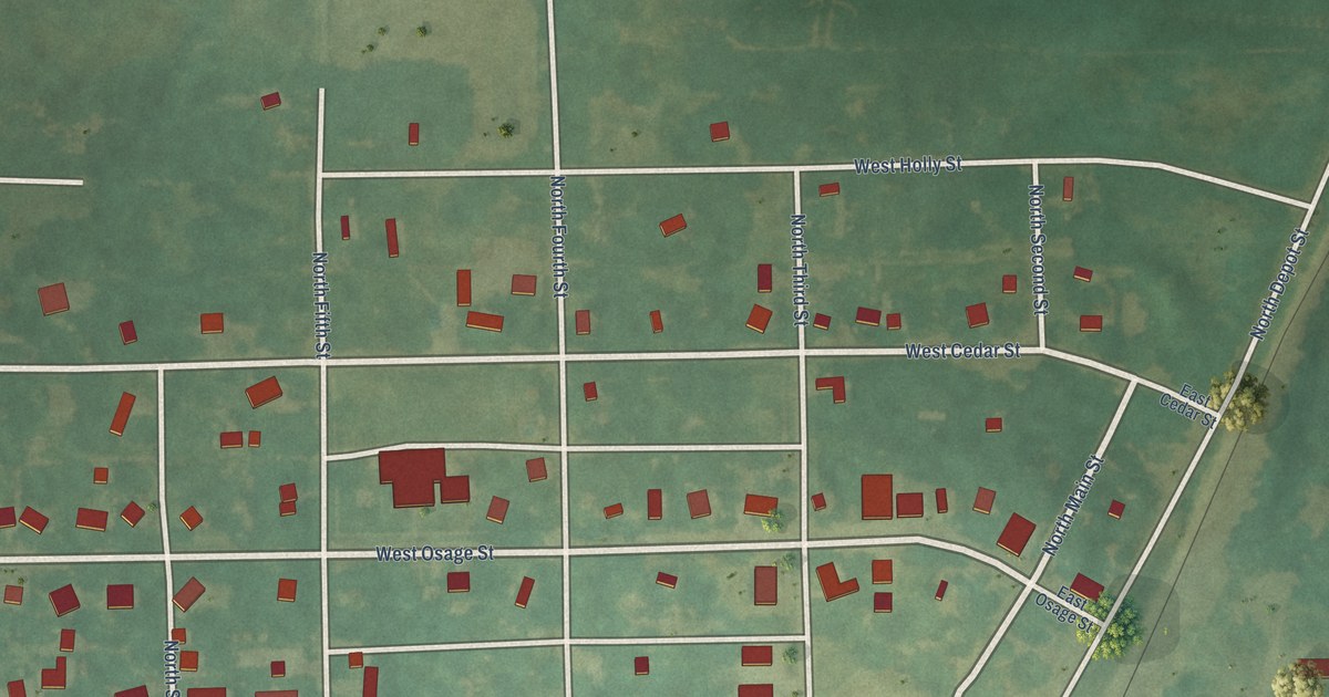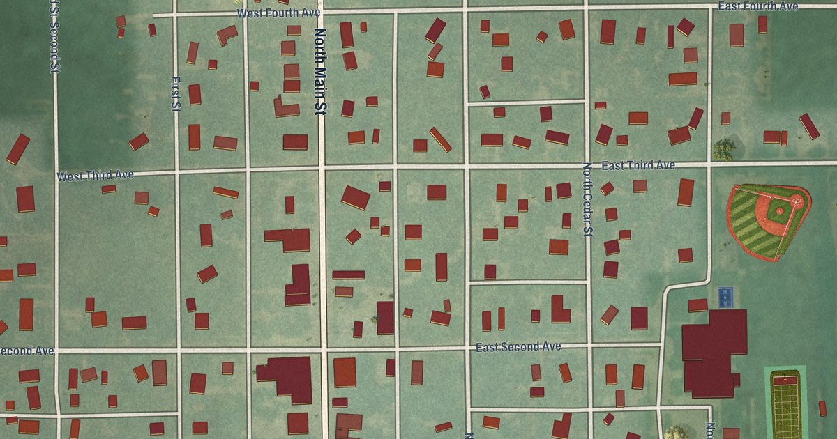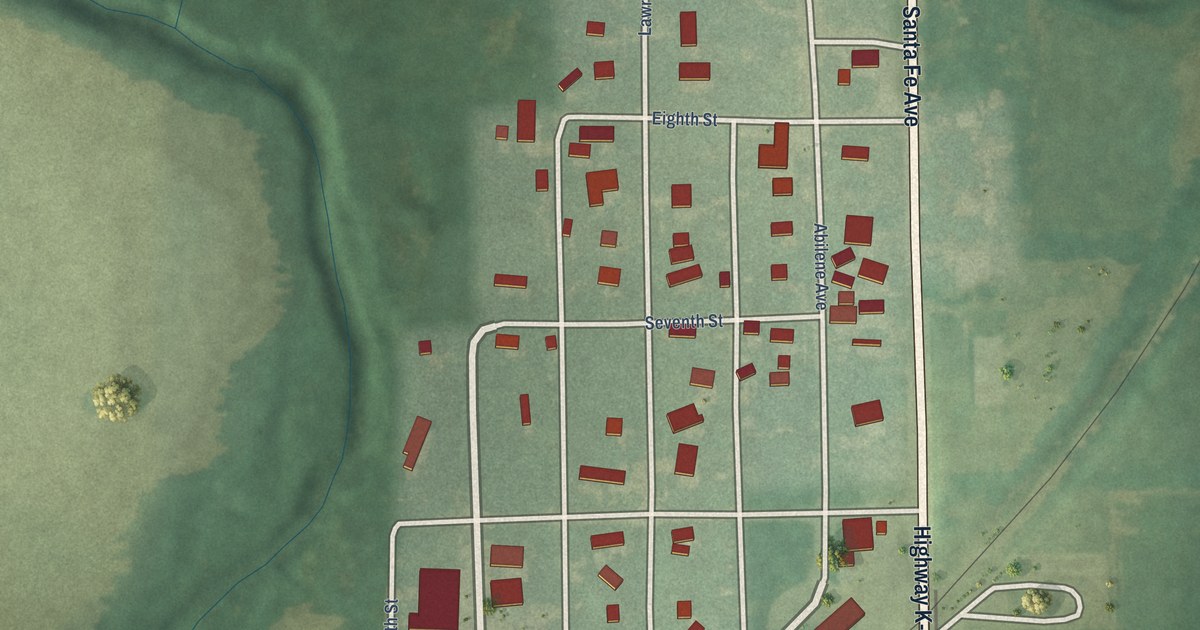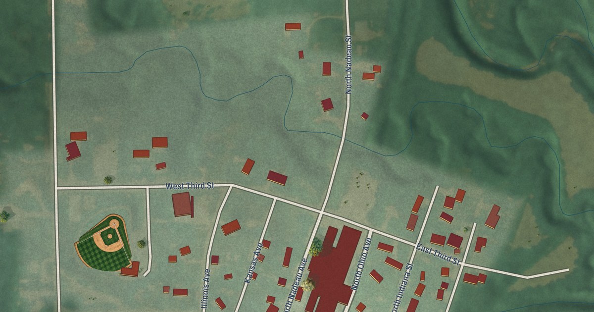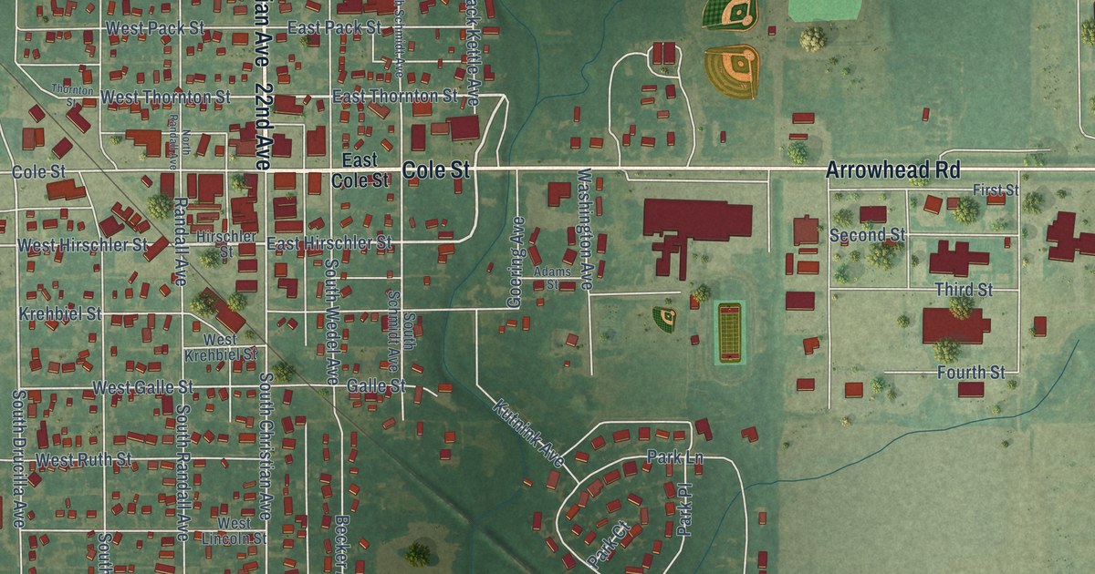
This beautifully detailed map of Moundridge, Kansas was created in 2026 using aerial imagery combined with modern topographical, census, street and landmark data. It’s a one-of-a-kind view of Moundridge that combines accurate data with a vintage aesthetic. The map shows every building in its true location, many of the roads carry their names, and the shaded topographic relief shows the shape of the land.
Explore an aerial view of Moundridge, Kansas
On the map you’ll find Christian Avenue, Cole Street, North Christian Avenue, 22nd Avenue, Arrowhead Road, East Thornton Street, Black Kettle Avenue, East Hirschler Street, West Hirschler Street, Drucilla Avenue, West Thornton Street, South Drucilla Avenue, and more. If you look closely you can even find your house accurately drawn in its correct location. Zoom in on the preview to look for yours.
Did you know this piece of Moundridge, Kansas history?
From the Historical Marker Database: "The Mennonites brought Turkey Hard Red Winter Wheat. The seeds were carefully selected, often kernel by kernel, frequently by grandparents and sometimes with the help of children."
Take a closer look at the Moundridge map
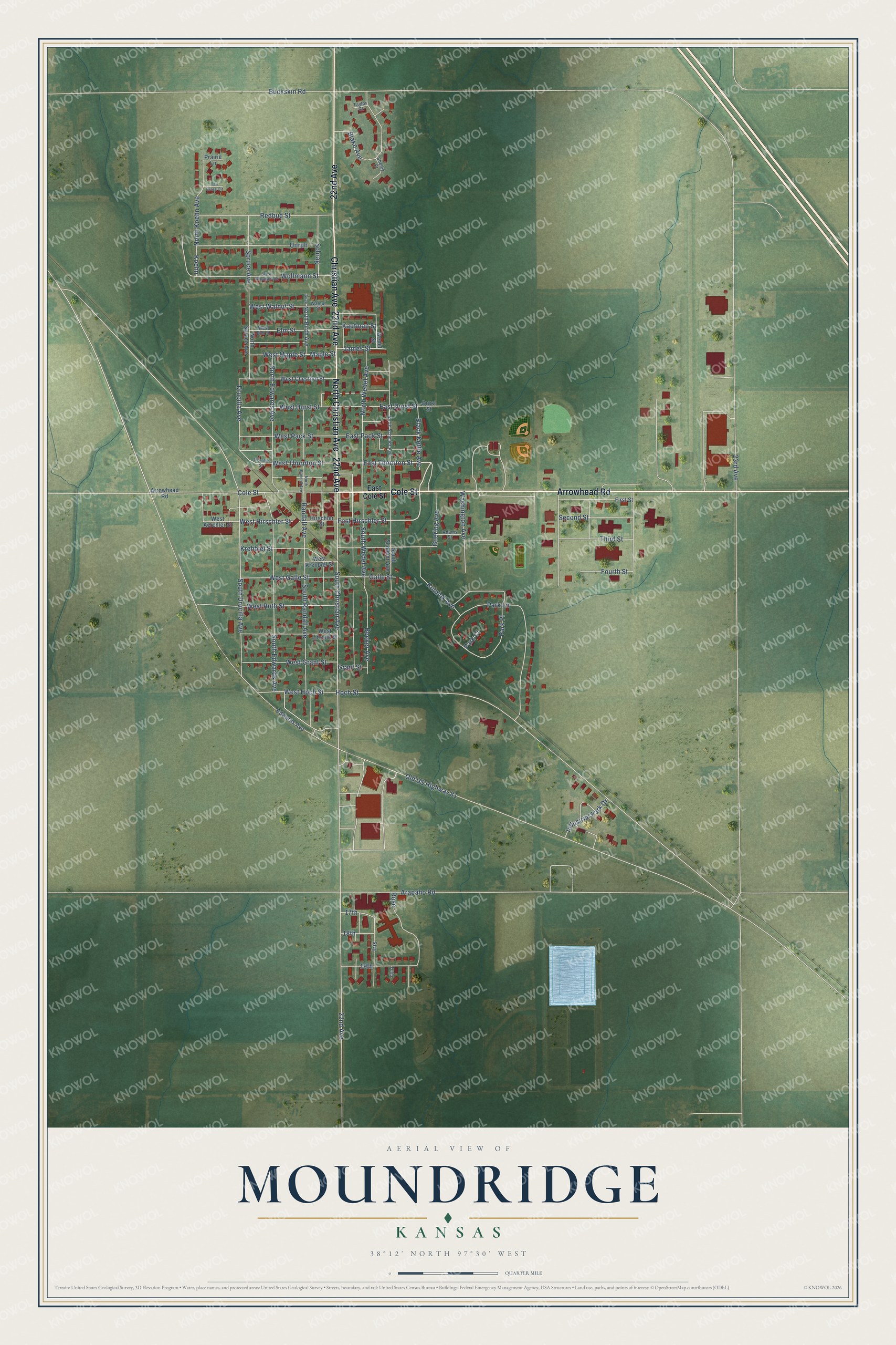
Street names on the Moundridge, Kansas map
These names are printed on the map of Moundridge, Kansas.
Streets and roads: Christian Avenue, Cole Street, North Christian Avenue, 22nd Avenue, Arrowhead Road, East Thornton Street, Black Kettle Avenue, East Hirschler Street, West Hirschler Street, Drucilla Avenue, West Thornton Street, South Drucilla Avenue.
More street names, A to Z
17th, 18th, 19th, 23rd Avenue, Adams Street, Arapaho Road, Becker Avenue, Birch, Blake Avenue, Buckskin Road, Durst Street, East Cole Street, East Durst Street, East Pack Street, Edwards Avenue, Elm Street, First Street, Fourth Street, Galle Street, Goering Avenue, Grant Street, Hirschler Street, Hoch Street, Industrial Park Drive, Iris, James Street, Kaufman Street, Koehn, Krehbiel Street, Kutnink Avenue, Maple Street, North Birch Avenue, North Edwards Avenue, North Koehn Avenue, North Randall Avenue, North Schmidt Avenue, North Spruce Avenue, North Wedel Avenue, Old US Highway 81, Park Court, Park Lane, Park Place, Prairie Lane, Randall Avenue, Redbud Street, Rose, Schrag, Second Street, Shelby Court, South Christian Avenue, South Edwards Avenue, South Randall Avenue, South Schmidt Avenue, South Wedel Avenue, Spruce Avenue, Tall Grass Circle, Taylor Court, Third Street, Thornton Street, Tulip, Unruh, Walnut Street, Washington Avenue, Wedel Street, West Aerchler Street, West Chestnut Street, West Durst Street, West Elm Street, West Galle Street, West Grant Street, West Hoch Street, West Krehbiel Street, West Lincoln Street, West Maple Street, West Pack Street, West Ruth Street, West Walnut Street, West Wollmann Street, Wollmann Street.
See the Moundridge, Kansas map on a wall
The Moundridge map as an 18 x 24 inch print in a black frame.

This beautifully detailed map of Moundridge makes an attractive addition to your office, library, or den, and it can even be used to teach children the geography and history of the area. It also makes a great gift for anyone with Moundridge roots. When you’re done exploring, click here to get your copy of the Moundridge map.