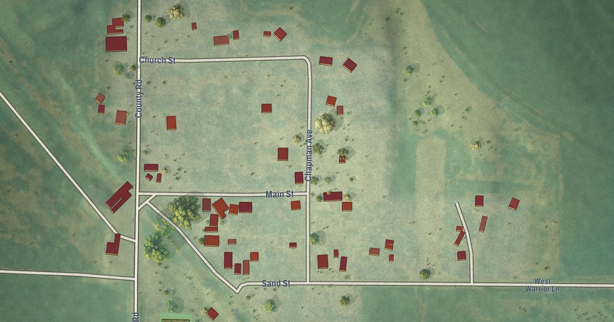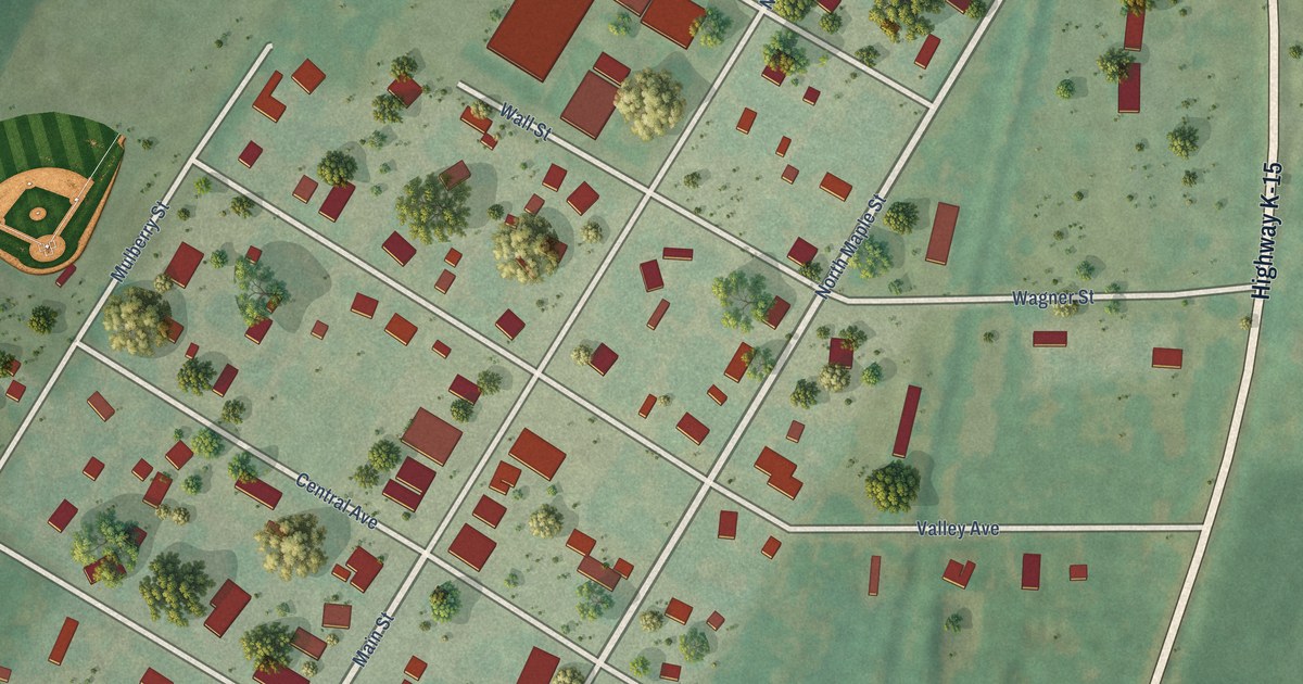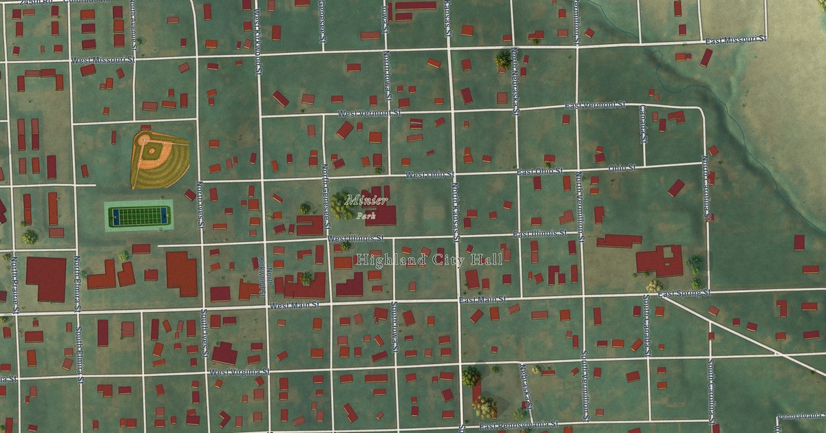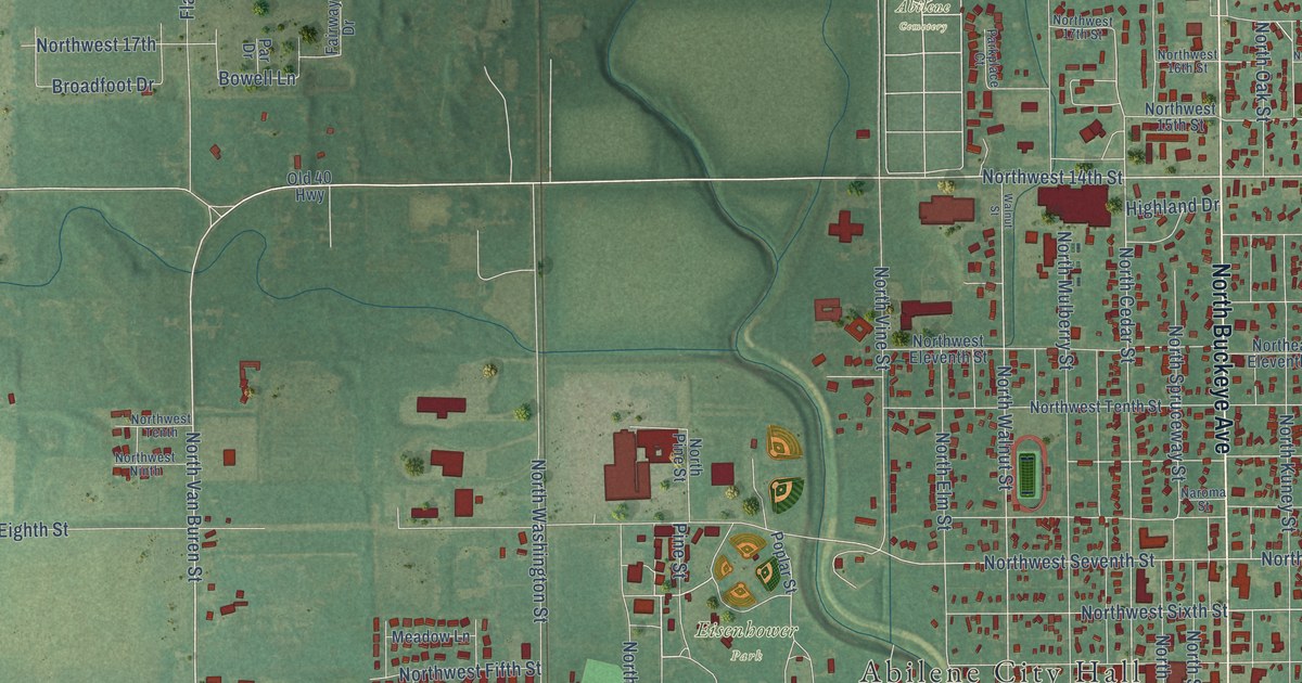
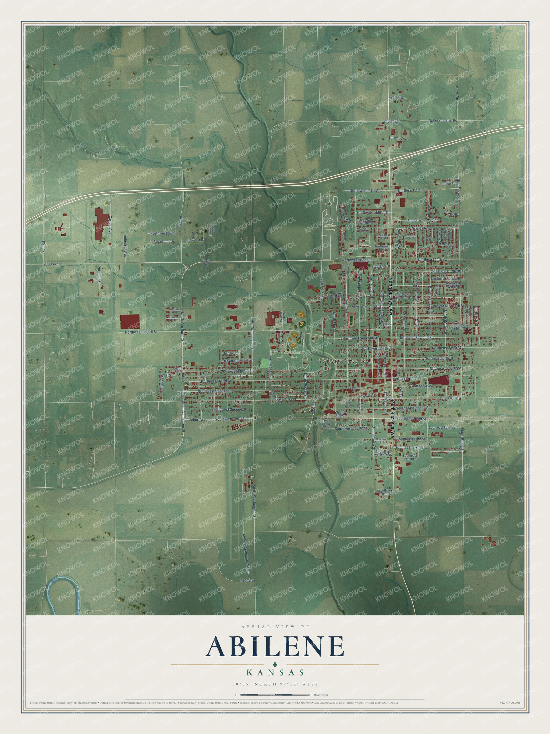
This beautifully detailed map of Abilene, Kansas was created in 2026 using aerial imagery combined with modern topographical, census, street and landmark data. It's a modern aerial view of Abilene in Dickinson County, Kansas, that combines modern data with a vintage aesthetic. The roads feature printed names, and if you look closely you can find your exact house accurately shown in its correct location.
Explore an aerial view of Abilene, Kansas
On this map you'll find Abilene City Hall, Abilene Cemetery, Eisenhower Park, North Buckeye Avenue, South Buckeye Avenue, Northwest 14th Street, North Van Buren Street, South Van Buren Street, Northeast 14th Street, Northeast Seventh Street, Northeast Sixth Street, West First Street, and more. Each red shape is a building, so zoom in on the preview and look for yours.
Abilene has a story worth telling. The record at kancoll.org puts it this way: "Universalist . – In 1870, the members of this church in Abilene organized themselves into an association and built a small, but neat, frame church."
Abilene is a city in Dickinson County. The Census Bureau counted 6,460 people here in 2020.
Take a closer look at the Abilene map
Names on this map
These names are printed on this map.
Places: Abilene City Hall, Abilene Cemetery, Eisenhower Park and Abilene Municipal Airport.
Streets and roads: North Buckeye Avenue, South Buckeye Avenue, Northwest 14th Street, North Van Buren Street, South Van Buren Street, Northeast 14th Street, Northeast Seventh Street, Northeast Sixth Street, West First Street, North Walnut Street, Southwest Third Street, North Cedar Street.
More street names, A to Z
2100 Avenue, 2300 Avenue, 2400 Avenue, Beekman Place, Bowell Lane, Brice Court, Broadfoot Drive, Campbell, Carmel Avenue, Charles Road, Cherry Street, Cottage Avenue, Court Street, Eagle Drive, East First Street, Eighth Street, Elise Heights, Elm Street, Fair Road, Fairway Drive, Faith Avenue, Flag Road, Grand Boulevard, Hawk Road, Highland Drive, Industrial Avenue, Jayhawk Street, Johns Avenue, Kirby Street, Lafayette Avenue, Meadow Lane, Naroma Street, North 16th Street, North Ash Street, North Brady Street, North Broadway Street, North Brown Street, North Campbell Street, Northeast 13th Street, Northeast 15th Street, Northeast 16th Street, Northeast 21st Street, Northeast Eighth Street, Northeast Eleventh Street, Northeast Fifth Street, Northeast Fourth Street, Northeast Hillside Street, Northeast Tenth Street, Northeast Third Street, Northeast Twelfth Street, North Elm Street, North Hickok Drive, North Hickok Street, North Kuney Street, North Maple Street, North Mulberry Street, North Oak Street, North Olive Street, North Pine Street, North Poplar Street, North Rogers Street, North Spruce Street, North Spruceway Street, North Vine Street, North Washington Street, Northwest 15th Street, Northwest 16th Street, Northwest 17th, Northwest 17th Street, North West 21st Street, Northwest Eighth Street, Northwest Eleventh Street, Northwest Fifth Street, Northwest Fourth Street, Northwest Hilltop Drive, Northwest Ninth, Northwest Second Street, Northwest Seventh Street, Northwest Sixth Street, Northwest Summit Drive, Northwest Tenth, Northwest Tenth Street, Northwest Third Street, Old 40, Old 40 Highway, Old Highway 40, Olive, Par Drive, Parkplace Court, Pine Street, Poplar Street, Portland Street, Ridge Road, Rogers Street, Roller Coaster Road, Second Street, South Brady Street, South Cedar Street, Southeast Fifth Street, Southeast Fourth Street, Southeast Second Street, Southeast Seventh Street, Southeast Sixth Street, Southeast Third Street, South Elm Street, South Mulberry Street, South Spruce Street, South Vine Street, South Walnut Street, South Washington Street, Southwest Fourth Street, Southwest Second Street, Southwest Seventh Street, Southwest Sixth Street, Southwest Tenth Street, Sunset, Texas Street, Tower Avenue, Walnut Street, Xavier Drive.
Created by KNOWOL in 2026. The buildings are small red shapes, the roads carry their printed names, and shaded relief shows the shape of the land. The title panel reads "AERIAL VIEW OF ABILENE KANSAS" with 38°55' NORTH 97°13' WEST.
It looks right in a kitchen, an office or a den, and it's a gift for anyone who grew up in Abilene or moved away. Open the preview and find your street. See sizes and frames for the Abilene map.