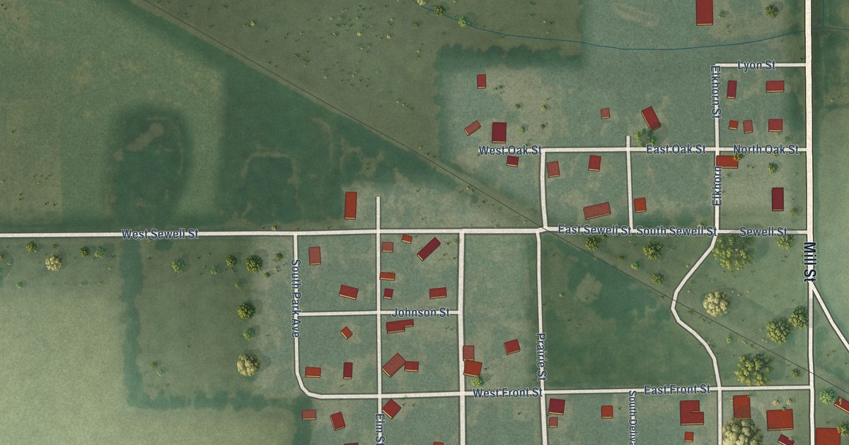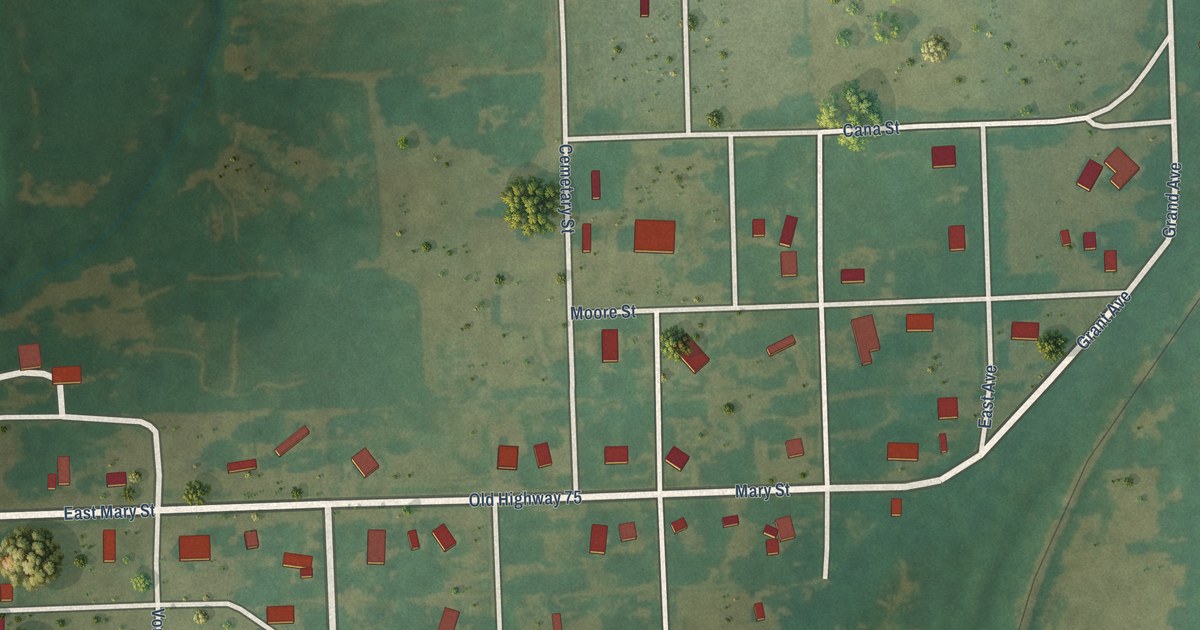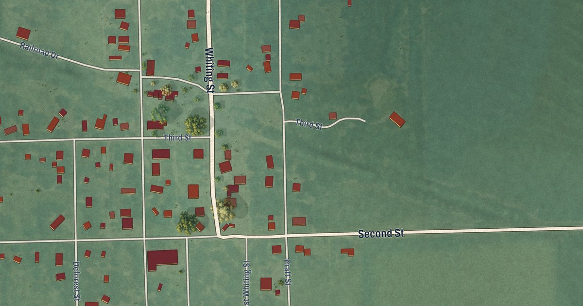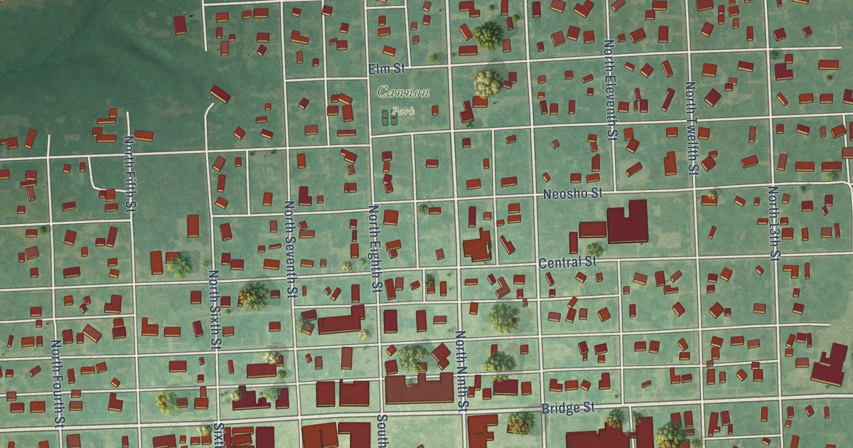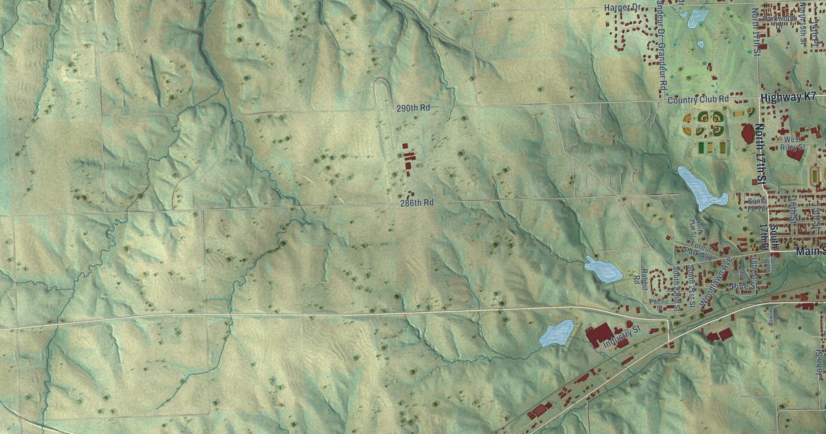
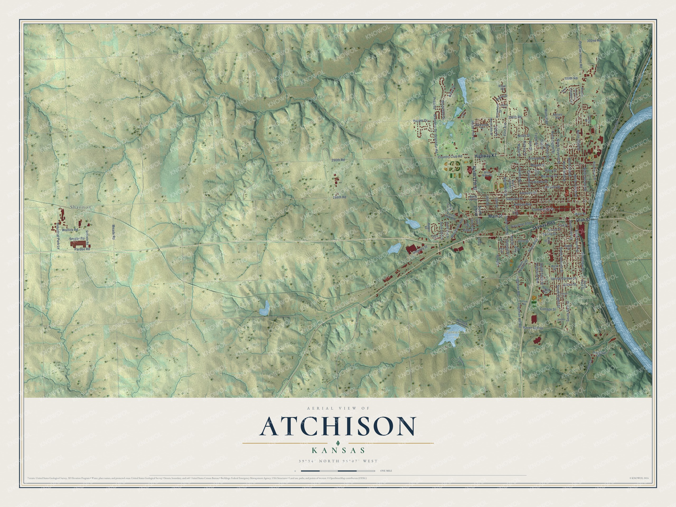
This beautifully detailed map of Atchison, Kansas was created in 2026 using aerial imagery combined with modern topographical, census, street and landmark data. It's a modern aerial view of Atchison in Atchison County, Kansas, that combines modern data with a vintage aesthetic. The roads feature printed names, and if you look closely you can find your exact house accurately shown in its correct location.
Explore an aerial view of Atchison, Kansas
On this map you'll find Atchison City Hall, Jackson Park, Warnock Lake Park, Shannon, Highway K7, North 17th Street, Main Street, Utah Street, Skyway Highway, Country Club Road, Pratt Road, 294th Road, and more. Each red shape is a building, so zoom in on the preview and look for yours.
Every town has a first chapter, and Atchison is no exception. The Kansas State Teachers College puts it this way: "In 1854, Atchison was founded and named for Senator Atchison of Missouri. For a short time the Senator was President pro tem of the Senate."
Atchison is a city in Atchison County. The Census Bureau counted 10,885 people here in 2020.
Take a closer look at the Atchison map
Names on this map
These names are printed on this map.
Places: Atchison City Hall, Jackson Park, Warnock Lake Park and Shannon.
Streets and roads: Highway K7, North 17th Street, Main Street, Utah Street, Skyway Highway, Country Club Road, Pratt Road, 294th Road, Harper Drive, North Second Street, 290th Road, South Sixth Street.
More street names, A to Z
13th Street, 14th Place, 15th Street, 16th Street, 18th Street, 19th Street, 274th Road, 286th Road, 298th Road, 302nd Road, Allenham Drive, Ann Street, Arbor Drive, Arrowhead Drive, Ash Street, Atchison Street, Brookdale Drive, College Street, Commercial Street, Cottage Street, Country Lane, Division Street, Eleventh Street, Fairway Drive, First Avenue, First Street, Forest Park Avenue, Fox Street, Gasoline Alley, George Street, Grandeur Drive, Grandeur Road, Green Street, Hickory Street, Highland Avenue, Industrial Park Lane, Industry Street, John Street, Julia Street, Kansas Avenue, Kearney Street, Kelsey Avenue, King Street, Laramie Street, Laurel Drive, Liberty Lane, Linden Lane, Logeman Hill Road, Logeman Road, Maple Street, Meade Road, Meadow Lane, Mound Street, Mount Pleasant Road, Ninth Street, North 13th Street, North 14th Street, North 15th Street, North 21st Street, North Eighth Street, North Fifth Street, North Fourth Street, North Seventh Street, North Sixth Street, North Street, North Tenth Street, North Third Street, Oak Street, Old 73, Orphans Home Road, Pacific Street, Parallel Street, Pardee Road, Park Street, Parkwood Drive, Pine Street, Prairie Drive, Price Boulevard, Rabbit Road, Raven Hill Road, Rawlins Road, Riley Street, Riverfront Road, River Road, Riverview Drive, Royal Road, Santa Fe Street, Santa Fe Terrace, Schuele Road, Sheldun Lane, Snyder Road, South 14th Street, South 17th Street, South 21st Street, South 22nd Street, South Eighth Street, South Fifth Street, South Fourth Street, South Seventh Street, South Street, South Tenth Street, South Third Street, Spring Garden Street, Spring Street, Spruce Street, Storch Avenue, Tenth Street, Twelfth Street, Wallick Road, Walnut Road, Walnut Street, Warnock Lake Road, Washington Street, West Riley Street, West Street, Woodlawn Avenue.
Created by KNOWOL in 2026. The buildings are small red shapes, the roads carry their printed names, and shaded relief shows the shape of the land. The title panel reads "AERIAL VIEW OF ATCHISON KANSAS" with 39°34' NORTH 95°07' WEST.
Hang it in the hallway, the office or the cabin, or give it to someone who left Atchison and still calls it home. Open the preview and look for a street you know. See sizes and frames for the Atchison map.