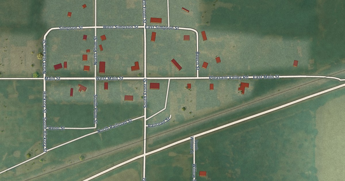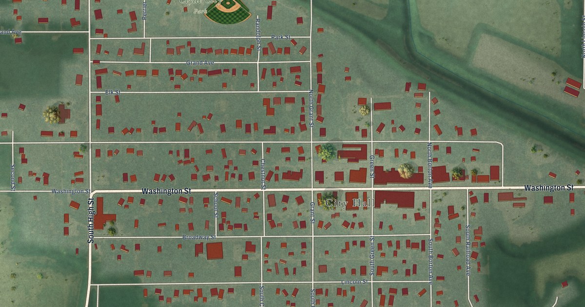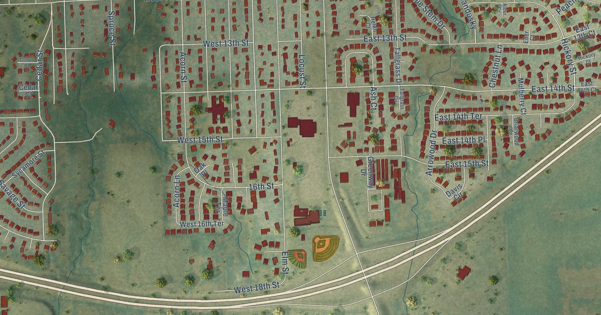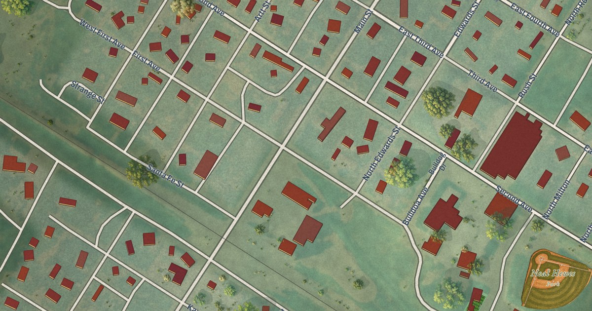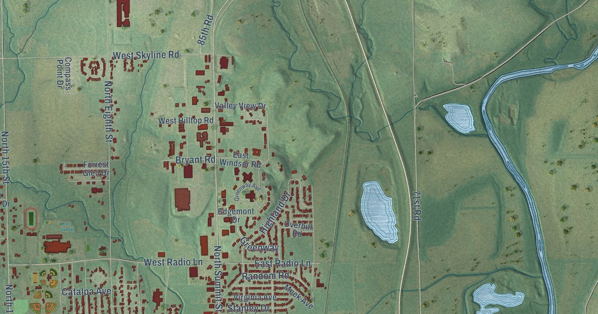
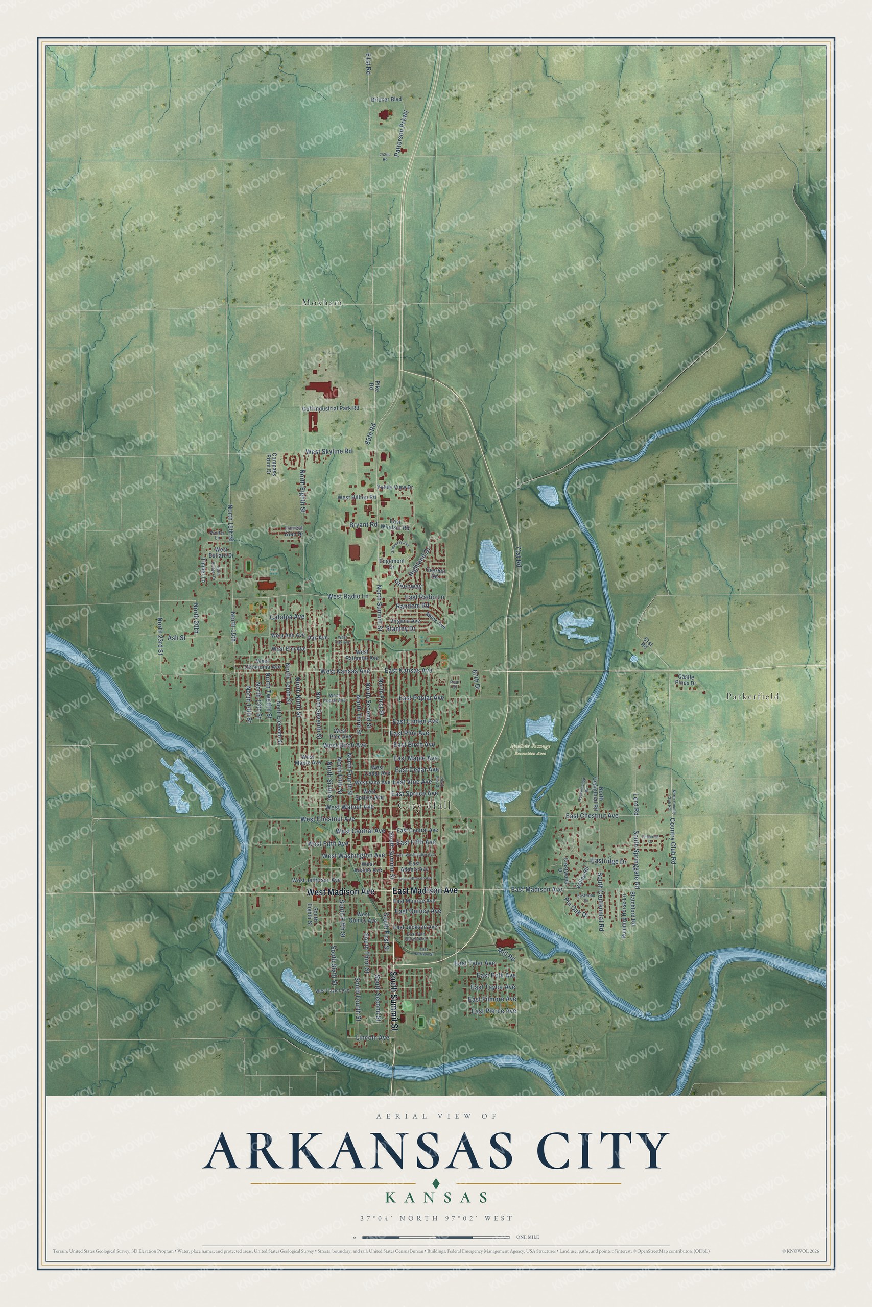
This beautifully detailed map of Arkansas City, Kansas was created in 2026 using aerial imagery combined with modern topographical, census, street and landmark data. It's a modern aerial view of Arkansas City in Cowley County, Kansas, that combines modern data with a vintage aesthetic. The roads feature printed names, and if you look closely you can find your exact house accurately shown in its correct location.
Explore an aerial view of Arkansas City, Kansas
On this map you'll find City Hall, Parkerfield, Prairie Passage Recreation Area, Moxham, East Madison Avenue, South Summit Street, West Madison Avenue, North Summit Street, Country Club Road, West Kansas Avenue, North 23rd Street, West Radio Lane, and more. Each red shape is a building, so zoom in on the preview and look for yours.
Every town has a first chapter, and Arkansas City is no exception. The record at kancoll.org puts it this way: "A wind mill was at first employed, but failed to give an adequate supply, and steam pumping apparatus was procured."
Arkansas City is a city in Cowley County. The Census Bureau counted 11,974 people here in 2020.
Take a closer look at the Arkansas City map
Names on this map
These names are printed on this map.
Places: City Hall, Parkerfield, Prairie Passage Recreation Area and Moxham.
Streets and roads: East Madison Avenue, South Summit Street, West Madison Avenue, North Summit Street, Country Club Road, West Kansas Avenue, North 23rd Street, West Radio Lane, East Kansas Avenue, North 20th, East Chestnut Avenue, West Chestnut Avenue.
More street names, A to Z
61st Road, 67th Drive, 71st Road, 81st Road, 85th Road, 242nd Road, Ash Street, Blatchford Road, Bricker Boulevard, Bryant Road, Castle Pines Drive, Catalpa Avenue, Compass Point Drive, Crestwood Drive, East Adams Avenue, East Birch Avenue, East Cedar Avenue, East Central Avenue, East Fifth Avenue, East Filmore Avenue, East Harrison Street, East Jackson Avenue, East Jefferson Avenue, East Linden Avenue, East Maple Avenue, East Monroe Avenue, East Pierce Avenue, East Pine Avenue, East Polk Avenue, East Poplar Avenue, East Quincy Avenue, East Radio Lane, Eastridge Drive, East Spruce Avenue, East Taylor Avenue, East Tyler Avenue, East Van Buren Avenue, East Vine Avenue, East Washington Avenue, East Windsor Road, Eastwood Drive, Edgemont Drive, Forrest Glen Drive, Goff Industrial Park Road, Greenway, Greenway Avenue, Highland Drive, Lincoln Avenue, Lord Road, Meek Avenue, Mill Road, North 13th Street, North 14th Street, North 15th, North 15th Street, North Cenntinial Road, North Country Club Road, North East Street, North Eighth Street, North Eleventh Street, North Estates Drive, North Fifth Street, North First Street, North Fourth Street, North Ninth Street, North Second Street, North Seventh Street, North Sixth Street, North Tenth Street, North Third Street, North Twelfth Street, Oak Avenue, Overhill Road, Patterson Prkwy, Pear Street, Pike Road, Pinecrest Court, Pin Oak Drive, Proffer Lane, Random Road, Rockmeadow Road, Running Horse Lane, South Centennial Road, South Eighth Street, South Fifth Street, South First Street, South Fourth Street, South Second Street, South Sixth Street, South Springgate Road, South Third Street, Stanley Drive, Timber Lane, Valley Road, Valley View Drive, Virginia Avenue, West Adams Avenue, West Ash Avenue, West Birch Avenue, West Bullard Drive, West Cedar Avenue, West Central Avenue, West Elm Avenue, West Fifth Avenue, West Hilltop Road, West Jefferson Avenue, West Maple Avenue, West Oak Avenue, West Oklahoma Avenue, West Palmetto Avenue, West Pine Avenue, West Poplar Avenue, West Quincy Avenue, West Skyline Road, West Spruce Avenue, West Taylor Avenue, West Vine Avenue, West Walnut Avenue, West Washington Avenue.
Created by KNOWOL in 2026. The buildings are small red shapes, the roads carry their printed names, and shaded relief shows the shape of the land. The title panel reads "AERIAL VIEW OF ARKANSAS CITY KANSAS" with 37°04' NORTH 97°02' WEST.
Hang it in the hallway, the office or the cabin, or give it to someone who left Arkansas City and still calls it home. Open the preview and look for a street you know. See sizes and frames for the Arkansas City map.