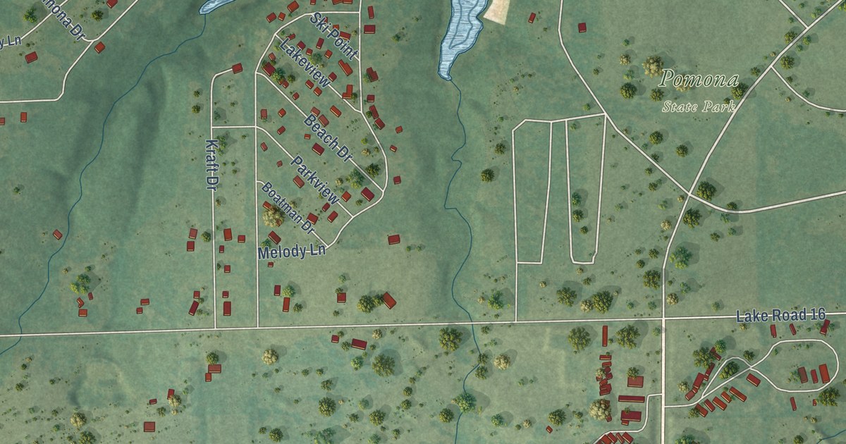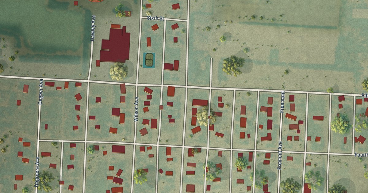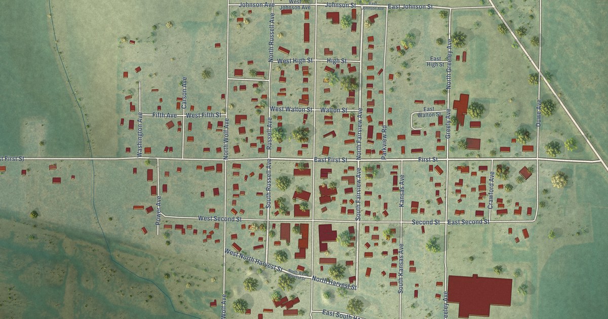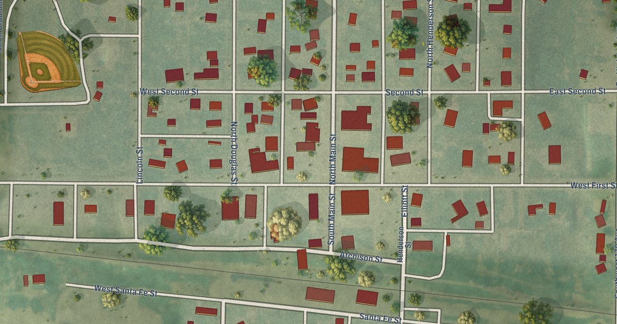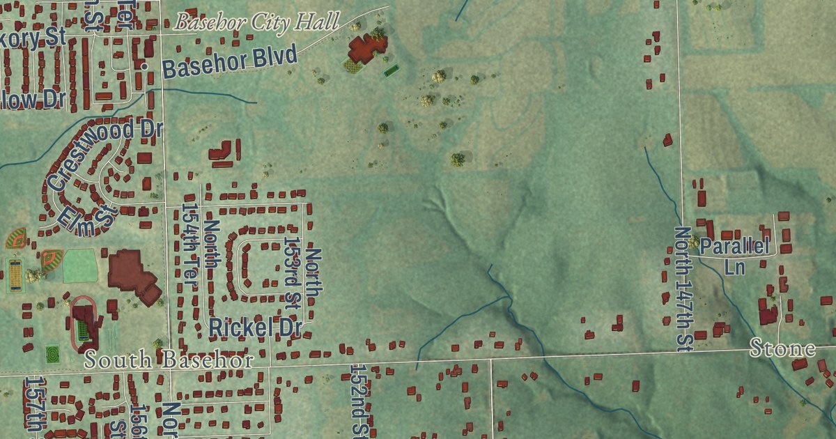
This beautifully detailed map of Basehor, Kansas was created in 2026 using aerial imagery combined with modern topographical, census, street and landmark data. It’s a one-of-a-kind view of Basehor that combines accurate data with a vintage aesthetic. The map shows every building in its true location, many of the roads carry their names, and the shaded topographic relief shows the shape of the land.
Explore an aerial view of Basehor, Kansas
On the map you’ll find Basehor City Hall, Stone, South Basehor, Wallula, and Levee 8, along with State Avenue, 139th Street, North 139th Street, North 142nd Street, North 155th Terrace, Meyer Drive, 155th Street, and more. If you look closely you can even find your house accurately drawn in its correct location. Zoom in on the preview to look for yours.
Did you know this about Basehor, Kansas?
From the Kansas Cyclopedia of State History: "Basehor, a village of Leavenworth county, is a station on the Missouri Pacific R. R. about 10 miles south of Leavenworth city, and 2 miles from the Wyandotte county line."
Take a closer look at the Basehor map
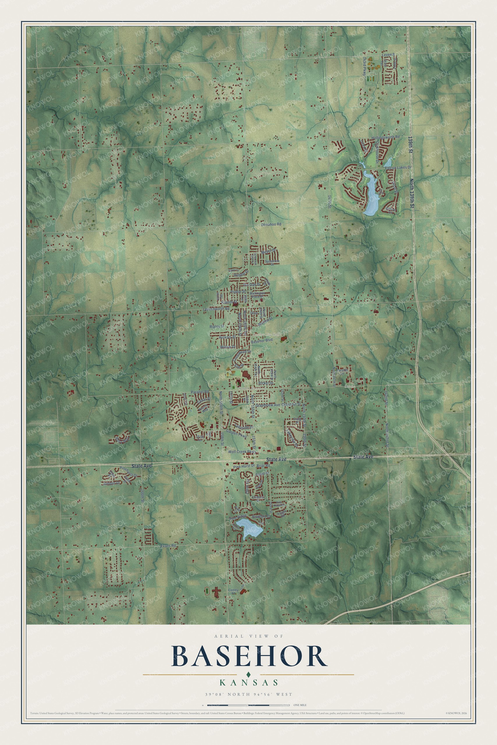
Street and place names on the Basehor, Kansas map
These names are printed on the map of Basehor, Kansas.
Places: Basehor City Hall, Stone and South Basehor.
Streets and roads: State Avenue, 139th Street, North 139th Street, North 142nd Street, Levee 8, Pine Hurst Drive, North 158th Street, Klamm Street, North 155th Terrace, 150th Street, Evans Road, 147th Street.
More street names, A to Z
140th Street, 141st Place, 141st Street, 141st Terrace, 142nd Street, 143rd Parkway, 143rd Street, 152nd Street, 153rd Street, 154th Place, 154th Street, 155th Street, 155th Terrace, 156th Street, 156th Terrace, 157th, 157th Street, 157th Terrace, 158th Street, 159th Street, 161st Terrace, 161th Terrace, 166th Street, 168th Street, 169th Street, Amber Road, Basehor Boulevard, Belrive Circle, Bradfort Court, Briar Road, Cedar Lane, Cedar Street, Chestnut Street, Clubhouse Drive, Conley Road, Craig Street, Crestwood Drive, Crimson Street, Cypress Bnd, Donahoo Road, Elm Street, Falcon Lakes Drive, Garden Parkway, Grandview Avenue, Hickory Street, Hollingsworth Road, Juniper Drive, Knight Road, Lakeside Drive, Lakeview Drive, Leavenworth Road, Martha Street, Meyer Drive, North 147th Street, North 150th Street, North 153rd Street, North 154th Saint Terrace, North 154th Street, North 154th Terrace, North 155th Street, North 156th Street, Olive, Parallel Lane, Parallel Road, Pebble Drive, Pebble Terrace, Pine Court, Pinehurst Drive, Pine Ridge, Pine Ridge Road, Pin Oak Drive, Poplar Street, Prairie Way, Rickel Drive, Ripley Street, Ruby Way, Sycamore Street, Wellington Place Drive, Willow Drive, Wolf Creek Parkway.
See the Basehor, Kansas map on a wall
The Basehor map as an 18 x 24 inch print in a black frame.

This beautifully detailed map of Basehor makes an attractive addition to your office, library, or den, and it can even be used to teach children the geography and history of the area. It also makes a great gift for anyone who grew up in Basehor or moved away. When you’re done exploring, click here to get your copy of the Basehor map.