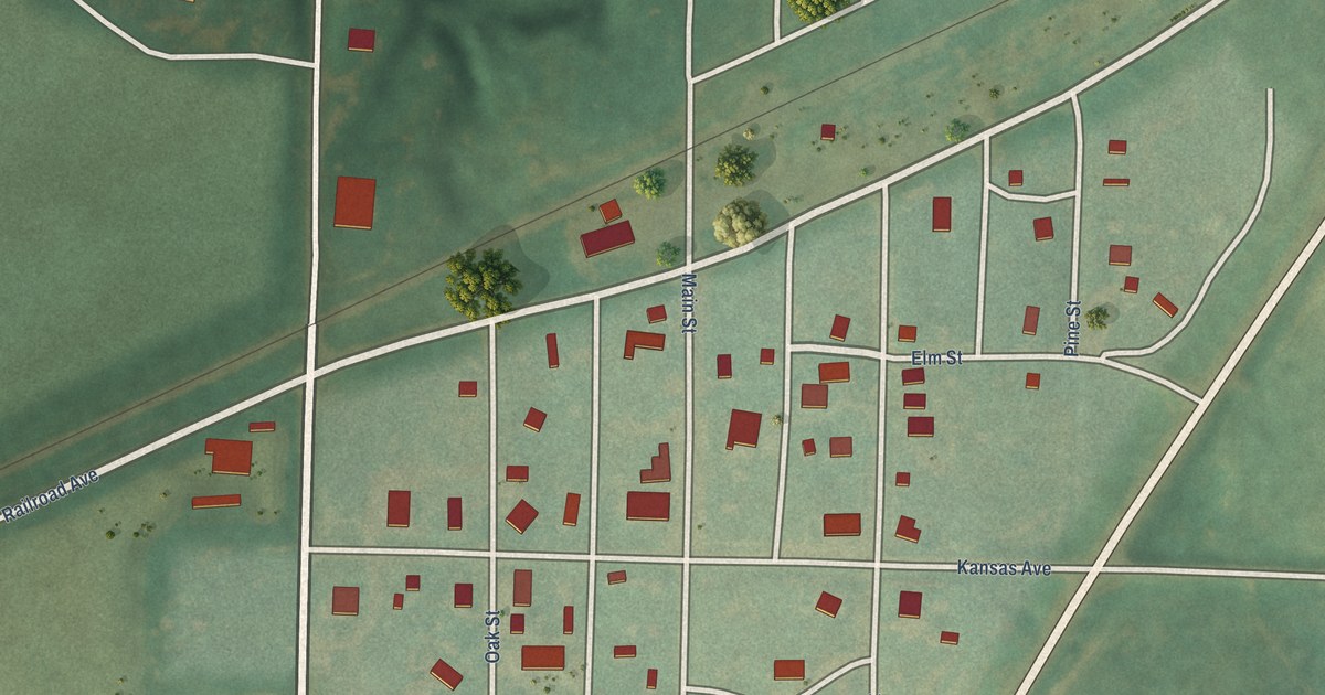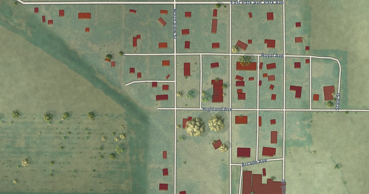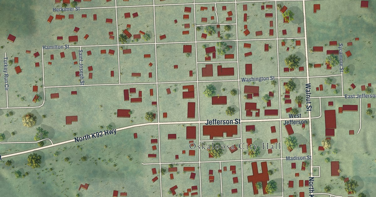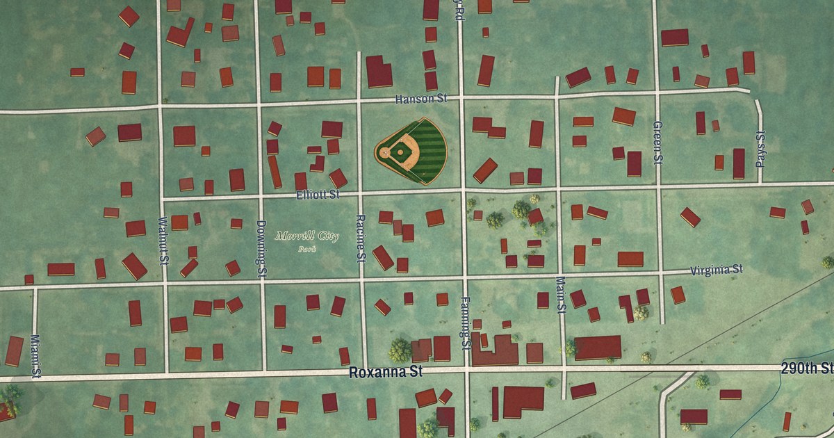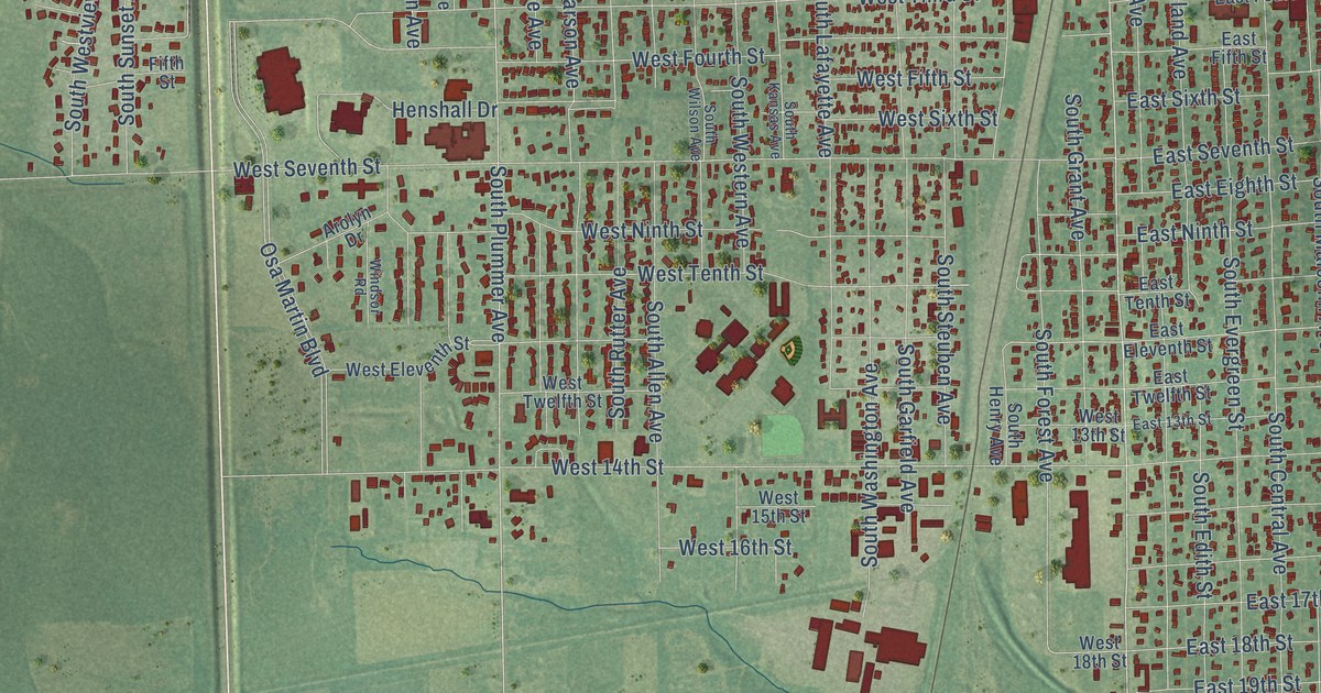
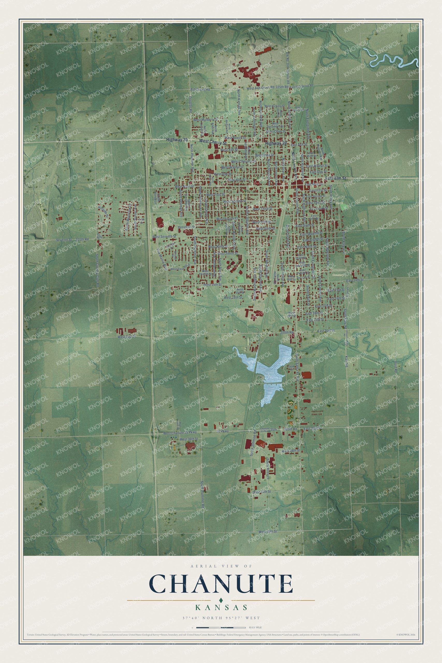
This beautifully detailed map of Chanute, Kansas was created in 2026 using aerial imagery combined with modern topographical, census, street and landmark data. It's a modern aerial view of Chanute in Neosho County, Kansas, that combines modern data with a vintage aesthetic. The roads feature printed names, and if you look closely you can find your exact house accurately shown in its correct location.
Explore an aerial view of Chanute, Kansas
On this map you'll find Elmwood Cemetery, Katy Park, East Elm Street, Highway 39, West Cherry Street, South Johnson Road, 35th, West 49th Street, Katy Road, 35 Parkway, East Main Street, South Santa Fe Avenue, and more. Each red shape is a building, so zoom in on the preview and look for yours.
Chanute has a story worth telling. The record at kancoll.org puts it this way: "With the change of the name of the town the name of the paper was also changed, and on the 11th of January, 1873, appeared under the name of the Chanute Times."
Chanute is a city in Neosho County. The Census Bureau counted 8,722 people here in 2020.
Take a closer look at the Chanute map
Names on this map
These names are printed on this map.
Places: Elmwood Cemetery and Katy Park.
Streets and roads: East Elm Street, Highway 39, West Cherry Street, South Johnson Road, 35th, West 49th Street, Katy Road, 35 Parkway, East Main Street, South Santa Fe Avenue, East 35th Street, East 21st Street.
More street names, A to Z
26th Street, 190th Road, 200th Road, 210th Road, 225th Road, Arolyn Drive, Ash Grove Road, Blue Comet Lane, Cemetary, Chanute 35 Parkway, Chase Road, Douglas Road, East 13th Street, East 14th Street, East 15th Street, East 16th Street, East 17th Street, East 18th Street, East 19th Street, East Ash Grove Road, East Ash Street, East Eighth Street, East Eleventh Street, East Fifth Street, East First Street, East Fourth Street, East Ninth Street, East Oak Street, East Pine Street, East Second Street, East Seventh Street, East Sixth Street, East Spruce Avenue, East Tenth Street, East Third Street, East Twelfth Street, East Walnut Street, Elk Road, Ellsworth Road, Fifth Street, Ford Road, Henshall Drive, Hillside Drive, Kitty Road, North Allen Avenue, North Evergreen Avenue, North Forest Avenue, North Garfield Avenue, North Grant Avenue, North Highland Avenue, North Kansas Avenue, North Lafayette Avenue, North Larson Avenue, North Lee Avenue, North Lincoln Avenue, North Malcolm Avenue, North Plummer Avenue, North Rutter Avenue, North Santa Fe Avenue, North Steuben Avenue, North Washington Avenue, North Western Avenue, Old Highway 169, Osa Martin Boulevard, Seventh Street, South Allen Avenue, South Ashby Avenue, South Central Avenue, South Country Club Road, South Denman Avenue, South Edith Street, South Evergreen Street, South Forest Avenue, South Garfield Avenue, South Grant Avenue, South Gretchen Avenue, South Henry Avenue, South Highland Avenue, South Kansas Avenue, South Katy Avenue, South Katy Road, South Lafayette Avenue, South Larson Avenue, South Lincoln Avenue, South Malcolm Avenue, South Plummer Avenue, South Plummer Road, South Ronda Lane, South Ross Lane, South Rutter Avenue, South Steuben Avenue, South Sunset Avenue, South Tennessee Avenue, South Washington Avenue, South Western Avenue, South Westview Drive, South Wilson Avenue, West 13th Street, West 14th Street, West 15th Street, West 16th Street, West 18th Street, West 21st Street, West 36th Street, West 38th Street, West 44th Street, West Ash Grove Road, West Ash Street, West Beech Street, West Chanute 35 Parkway, West Chestnut Street, West Eleventh Street, West Elm Street, West Fifth Street, West First Street, West Fourth Street, West Hickory Street, West Main Street, West Mulberry Street, West Ninth Street, West Oak Street, West Olive Street, West Pine Street, West Second Street, West Seventh Street, West Sixth Street, West Sycamore Street, West Tenth Street, West Third Street, West Twelfth Street, West Walnut Street, Windsor Road.
Created by KNOWOL in 2026. The buildings are small red shapes, the roads carry their printed names, and shaded relief shows the shape of the land. The title panel reads "AERIAL VIEW OF CHANUTE KANSAS" with 37°40' NORTH 95°27' WEST.
It looks right in a kitchen, an office or a den, and it's a gift for anyone who grew up in Chanute or moved away. Open the preview and find your street. See sizes and frames for the Chanute map.