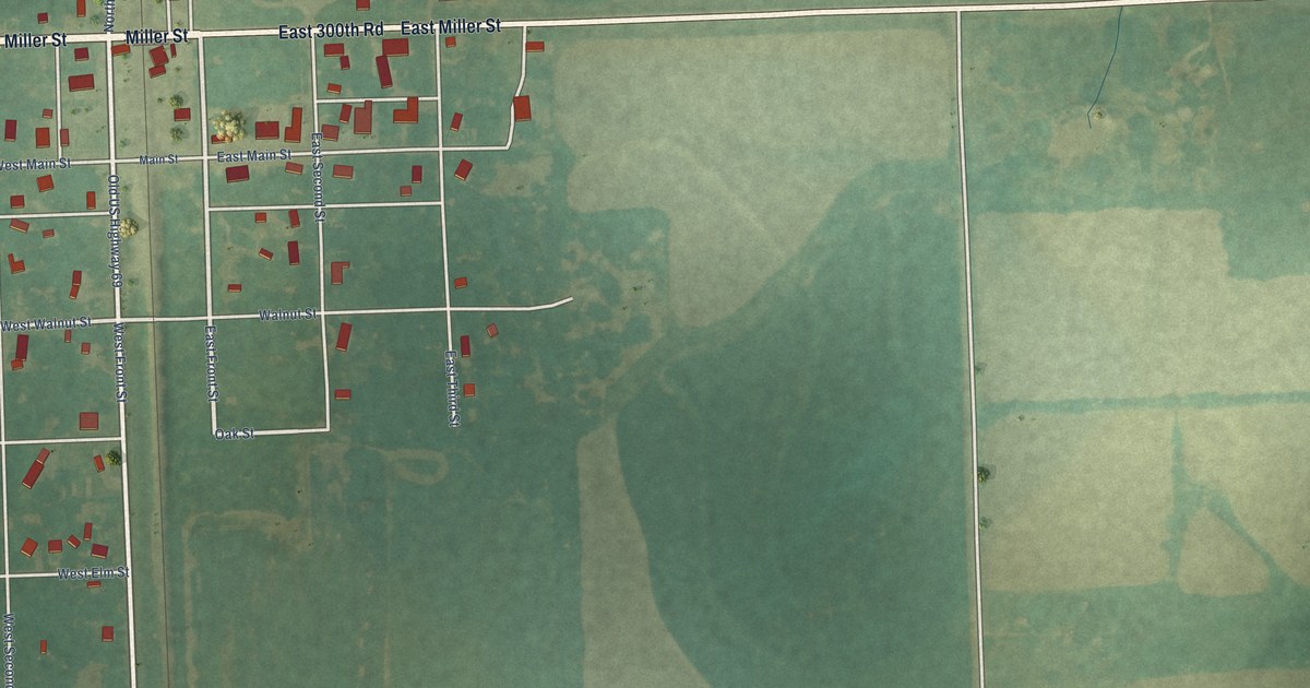
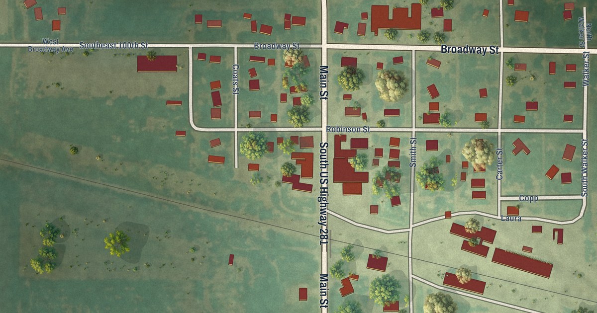
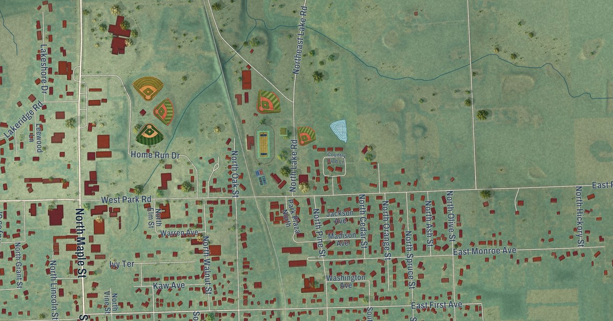
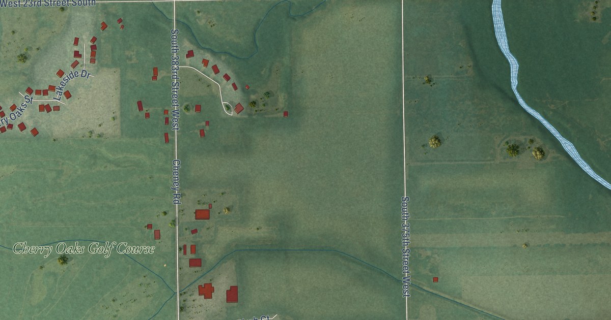
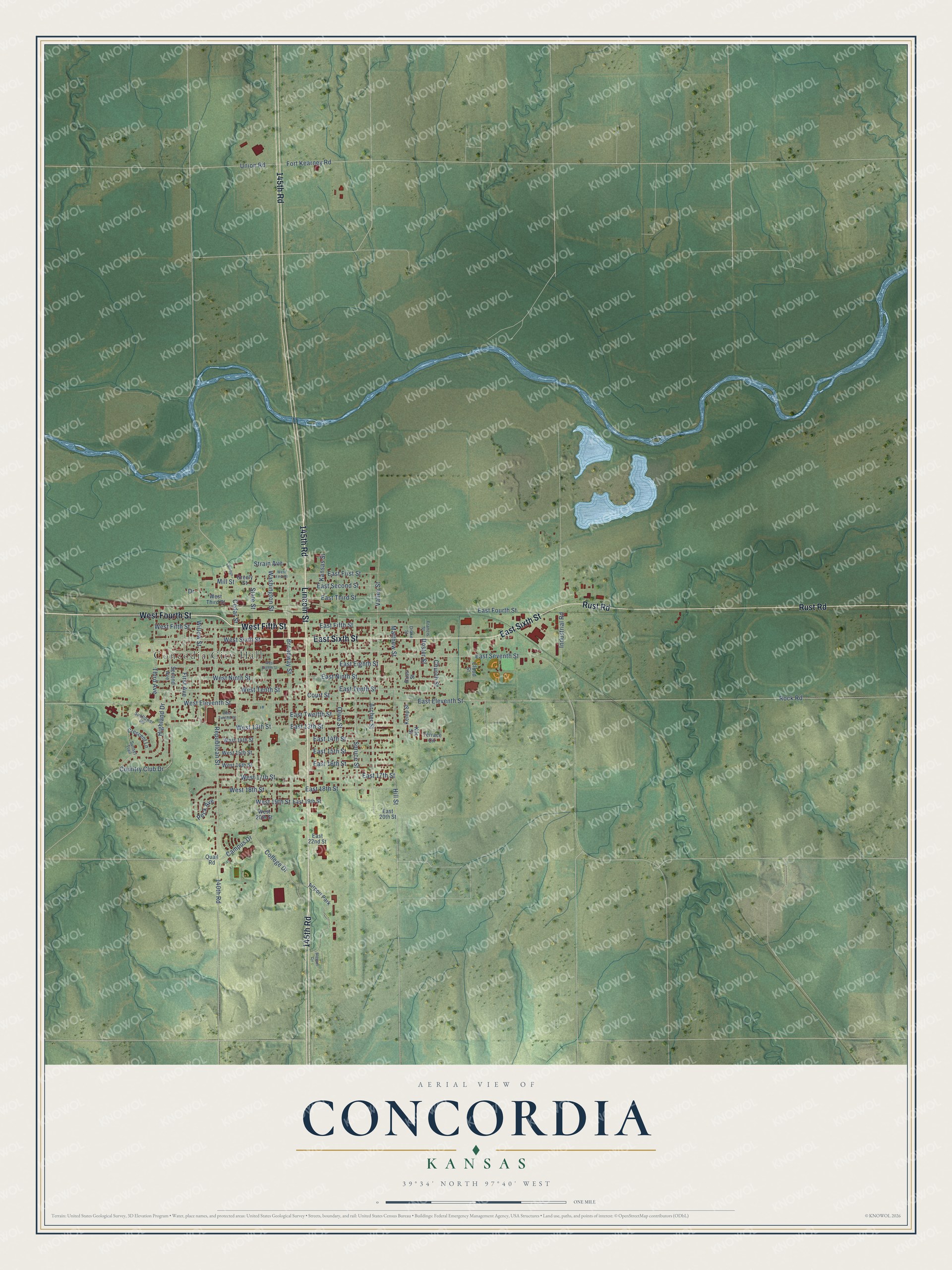
This beautifully detailed map of Concordia, Kansas was created in 2026 using aerial imagery combined with modern topographical, census, street and landmark data. It's a modern aerial view of Concordia in Cloud County, Kansas, that combines modern data with a vintage aesthetic. The roads feature printed names, and if you look closely you can find your exact house accurately shown in its correct location.
Explore an aerial view of Concordia, Kansas
On this map you'll find Concodia City Hall, 145th Road, West Fifth Street, West Fourth Street, Lincoln Street, Rust Road, East Sixth Street, Broadway Street, Country Club Drive, Strain Avenue, West 13th Street, Highland Drive, and more. Each red shape is a building, so zoom in on the preview and look for yours.
Concordia has a story worth telling. The Kansas Cyclopedia of State History puts it this way: "When the county seat was located here by vote of the people in the fall of 1869, there was not a building of any kind on the site of the present city."
Concordia is a city in Cloud County. The Census Bureau counted 5,111 people here in 2020.
Take a closer look at the Concordia map
Names on this map
These names are printed on this map.
Places: Concodia City Hall and Airport Park.
Streets and roads: 145th Road, West Fifth Street, West Fourth Street, Lincoln Street, Rust Road, East Sixth Street, Broadway Street, Country Club Drive, Strain Avenue, West 13th Street, Highland Drive, West Sixth Street.
More street names, A to Z
140th Road, Archer Street, Blosser Circle, Bridge, Campus Drive, Cedar Street, Church Street, Cloud Street, College Drive, Court Street, Crescent Lane, Doster Street, Drake Street, Drive, East 13th Street, East 14th Street, East 15th Street, East 16th Street, East 17th Street, East 18th Street, East 19th Street, East 20th Street, East 22nd Street, East Eighth Street, East Eleventh Street, East Fifth Street, East First Street, East Fourth Street, East Ninth Street, East Second Street, East Seventh Street, East Tenth Street, East Third Street, East Twelfth Street, First Avenue, Fort Kearney Road, Francis Street, Greely Street, Hill Street, Industrial Road, Kansas Street, Kemp Street, Kile Street, Matthew Street, Mill Street, Olive Street, Peck Avenue, Quail Road, Republican Street, Rock Road, Russ Street, Second Avenue, Spruce Street, State Street, Sunflower Road, Sunset Trail, Terrace Circle, Third Avenue, Union Road, Valley Street, Washington Street, West 14th Street, West 15th Street, West 16th Street, West 17th Street, West 18th Street, West 19th Street, West 20th Street, West Eighth Street, West Eleventh Street, West First Street, West Ninth Street, West Tenth Street, West Third Street, West Twelfth Street, Willow Street.
Created by KNOWOL in 2026. The buildings are small red shapes, the roads carry their printed names, and shaded relief shows the shape of the land. The title panel reads "AERIAL VIEW OF CONCORDIA KANSAS" with 39°34' NORTH 97°40' WEST.
It looks right in a kitchen, an office or a den, and it's a gift for anyone who grew up in Concordia or moved away. Open the preview and find your street. See sizes and frames for the Concordia map.