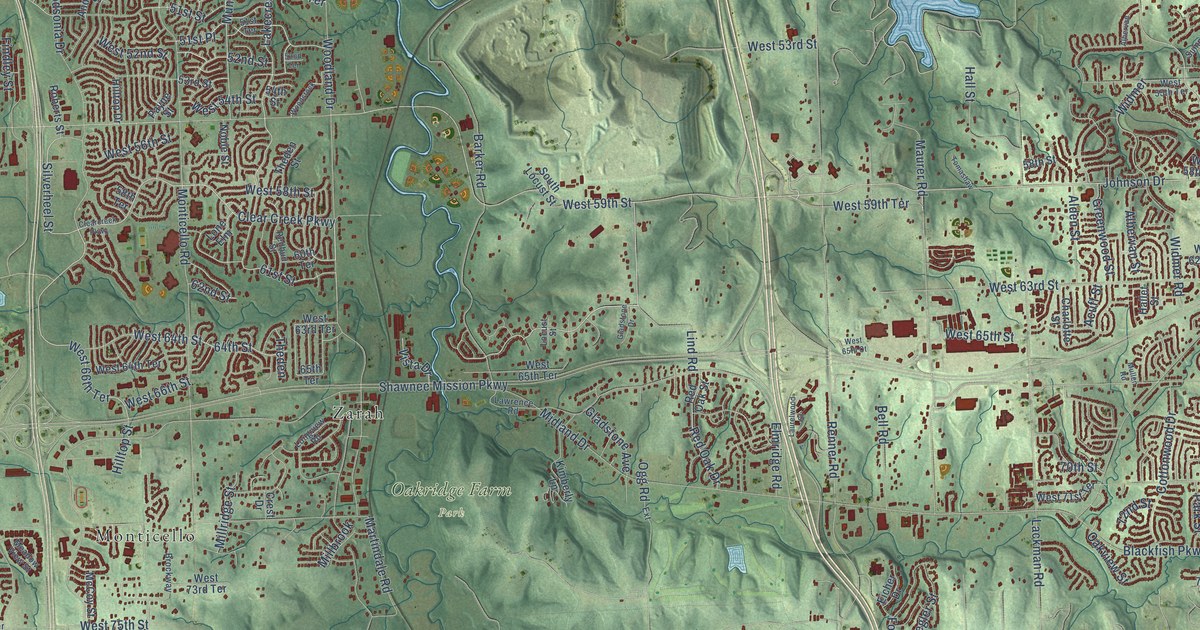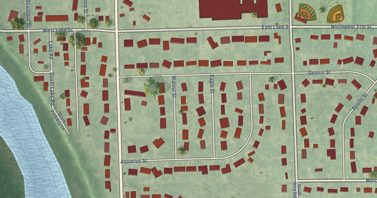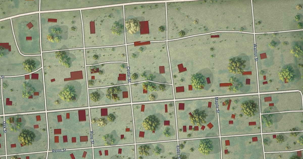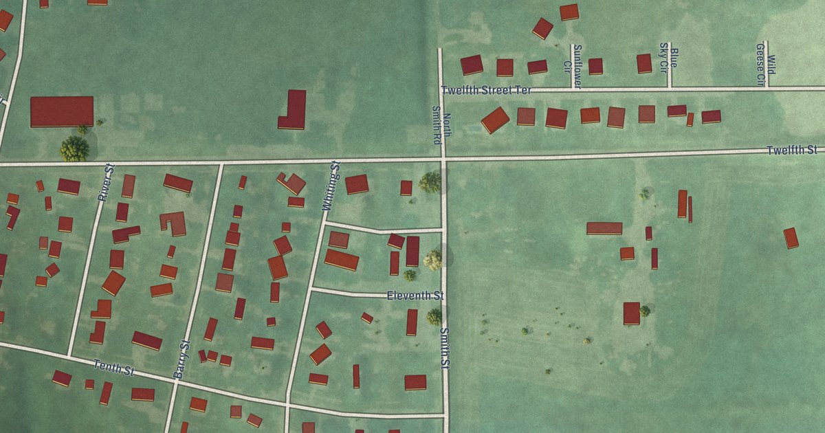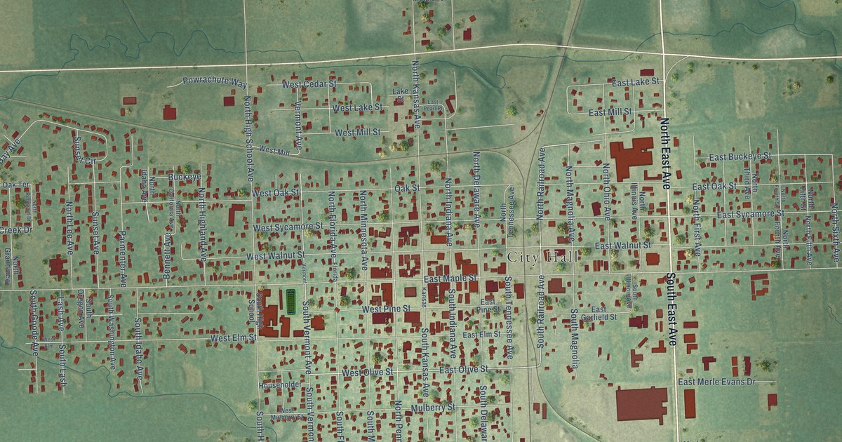
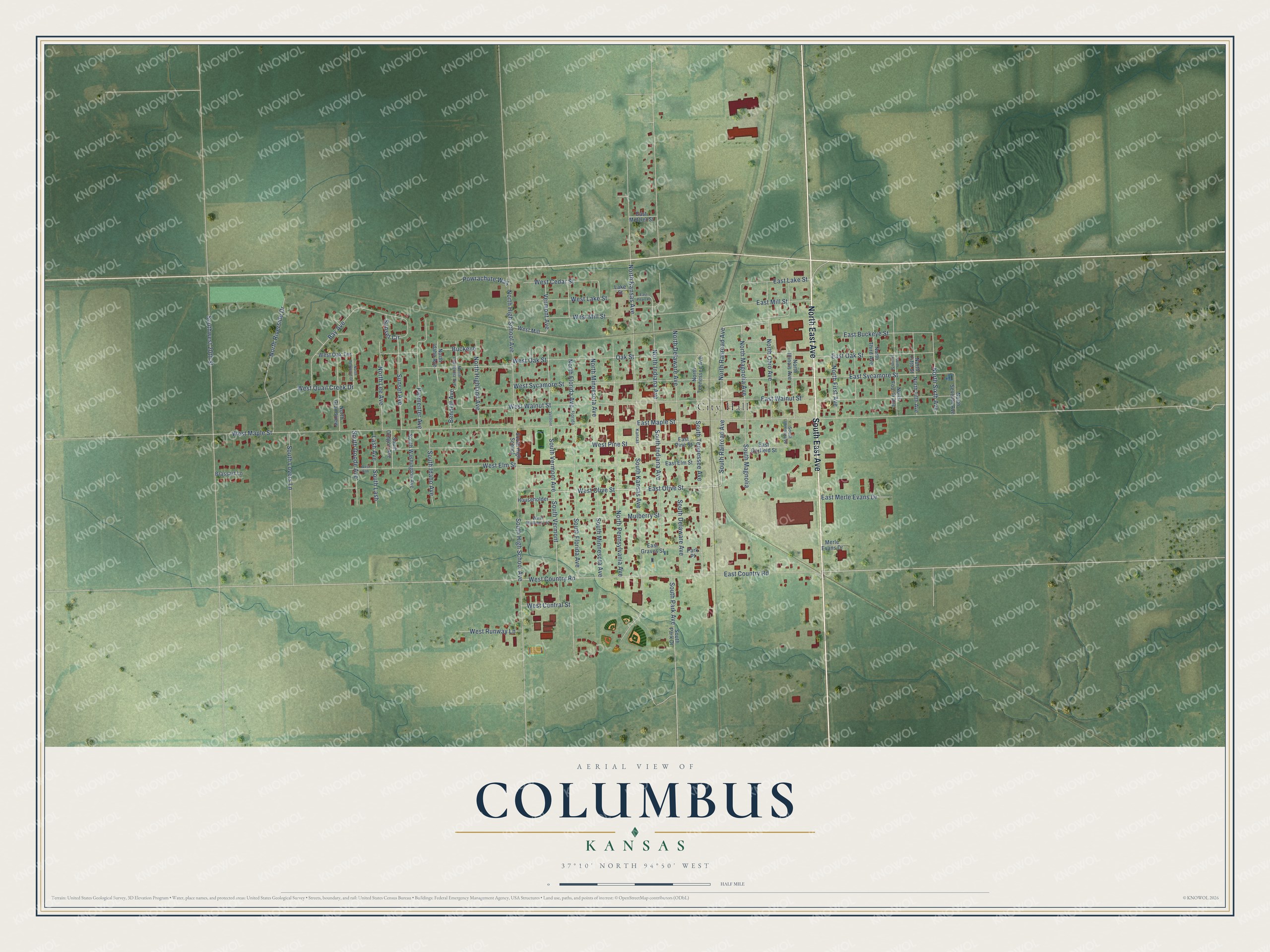
This beautifully detailed map of Columbus, Kansas was created in 2026 using aerial imagery combined with modern topographical, census, street and landmark data. It's a modern aerial view of Columbus in Cherokee County, Kansas, that combines modern data with a vintage aesthetic. The roads feature printed names, and if you look closely you can find your exact house accurately shown in its correct location.
Explore an aerial view of Columbus, Kansas
On this map you'll find City Hall, North East Avenue, South East Avenue, West Olive Street, South Railroad Avenue, East Olive Street, East Buckeye Street, North Railroad Avenue, North Magnolia Avenue, South Vermont Avenue, South Vermont, East Country Road, and more. Each red shape is a building, so zoom in on the preview and look for yours.
Here is a piece of Columbus history, in the words of the record. The Kansas Cyclopedia of State History puts it this way: "Columbus was incorporated as a town on April 11, 1870, and at the suggestion of Mr. Fry was named for Columbus, Ohio. A two-story school building was erected late in the year, and in April, 1871, Columbus was incorporated as a city of the third class with a population of 700."
Columbus is a city in Cherokee County. The Census Bureau counted 2,929 people here in 2020.
Take a closer look at the Columbus map
Names on this map
These names are printed on this map.
Places: City Hall.
Streets and roads: North East Avenue, South East Avenue, West Olive Street, South Railroad Avenue, East Olive Street, East Buckeye Street, North Railroad Avenue, North Magnolia Avenue, South Vermont Avenue, South Vermont, East Country Road, West Country Road.
More street names, A to Z
Bay Avenue, Bennett Avenue, Brassart Lane, Buckeye, East Elm Street, East Garfield Street, East Graves Street, East Lake Street, East Maple Street, East Merle Evans Drive, East Metzler Street, East Mill Street, East Oak Street, East Pearl Place, East Pine Street, East Sycamore Street, East Walnut Street, Florida, Householder, Kansas, Lake Street, Lash Avenue, Merle Evans Drive, Mulberry Street, North California Avenue, North Delaware Avenue, North Fifth Avenue, North Fifth Street, North First Avenue, North Florida Avenue, North Fourth Avenue, North Fourth Street, North Grandview, North Highland Avenue, North High School Avenue, North Idaho Avenue, North Illinois Avenue, North Indiana Avenue, North Kansas Avenue, North Lee Avenue, North Minnesota Avenue, North Ohio Avenue, North Pennsylvania Avenue, North Redwood Drive, North Riverside Drive, North Seventh Avenue, North Sixth Avenue, North Tennessee Avenue, North Third Avenue, Oak Street, Park Place, Parmenter Avenue, Powrachute Way, South Delaware Avenue, South Florida Avenue, South Goode Avenue, South High School, South High School Avenue, South Idaho Avenue, South Illinois Avenue, South Indiana Avenue, South Kansas Avenue, South Lash, South Lovers Lane, South Magnolia, South Minnesota Avenue, South Oregon Avenue, South Park Avenue, South Park Drive, South Tennessee Avenue, South Washington Avenue, Southwest 20th Street, Sunset Avenue, Sunset Circle, Vermont, Vermont Avenue, West Cedar Street, West Central Street, West Elm, West Elm Street, West Lake Street, West Maple Street, West Mill, West Mill Street, West Mulberry Street, West Oak Street, West Oak Terrace, West Pine Street, West Quail Creek Drive, West Runway Lane, West Sycamore Street, West Walnut Street.
Created by KNOWOL in 2026. The buildings are small red shapes, the roads carry their printed names, and shaded relief shows the shape of the land. The title panel reads "AERIAL VIEW OF COLUMBUS KANSAS" with 37°10' NORTH 94°50' WEST.
It suits a den, a classroom or a front hall, and it makes a gift for anyone with Columbus roots. Open the preview and find the block you know. See sizes and frames for the Columbus map.