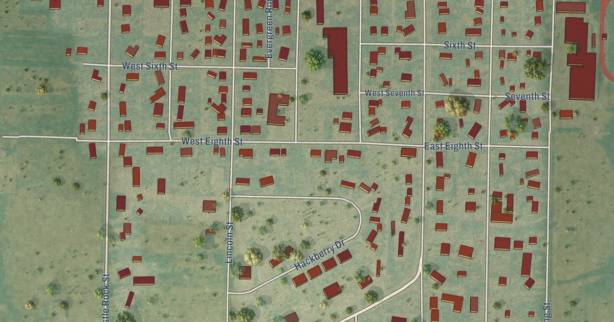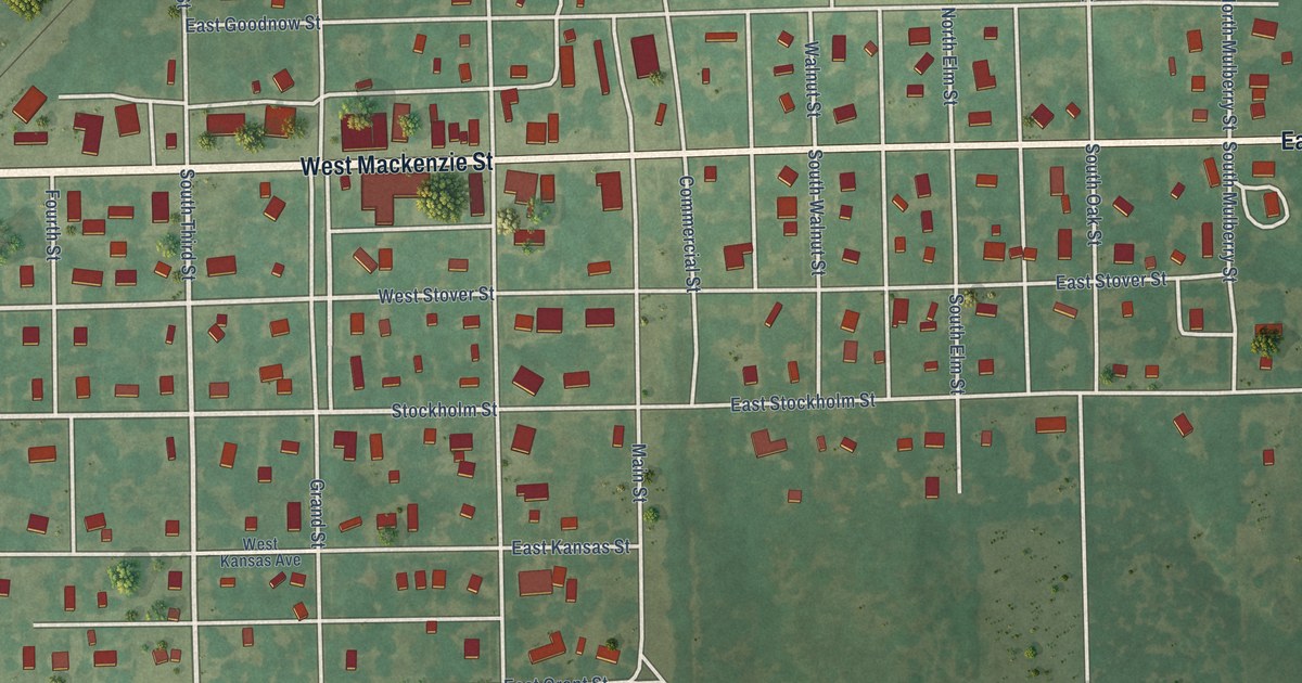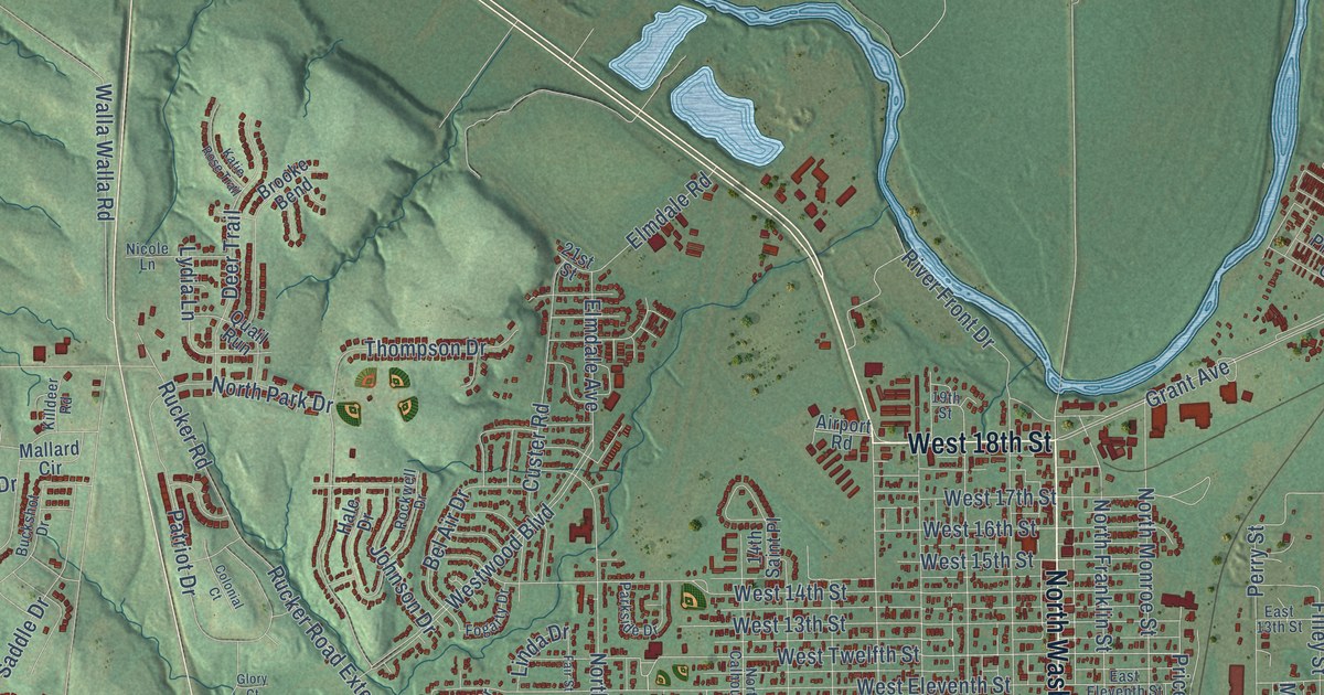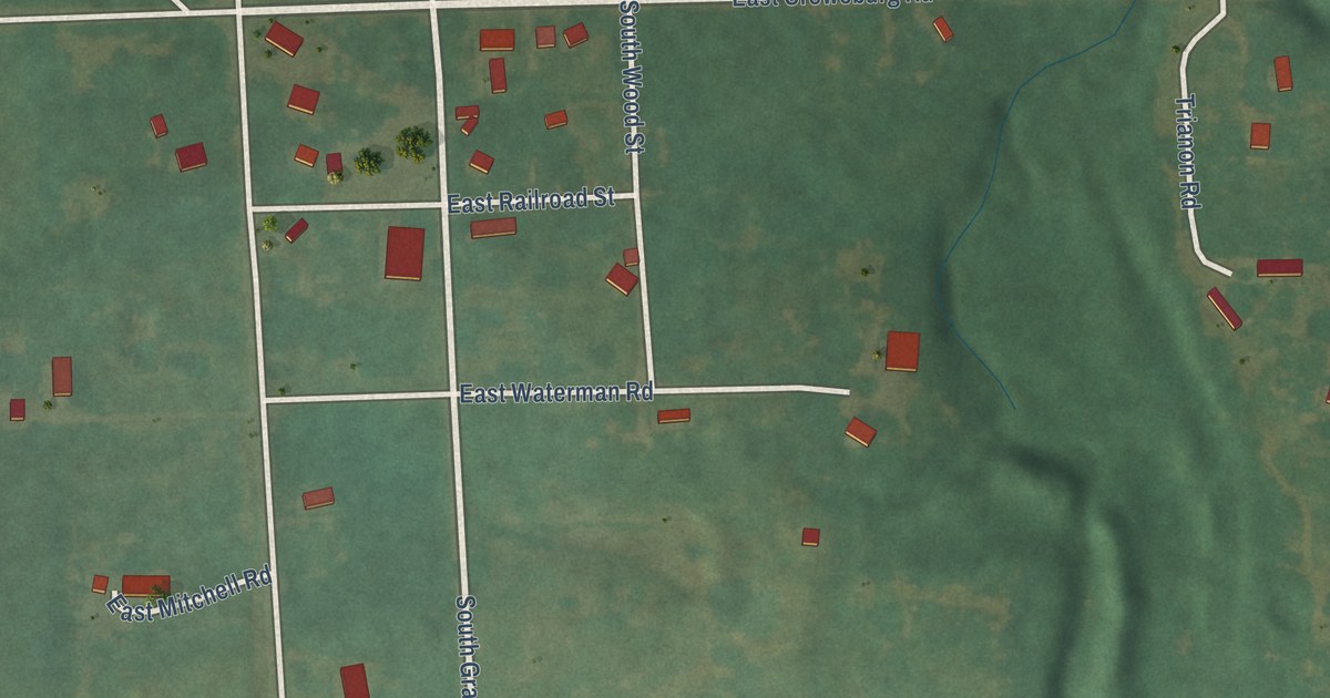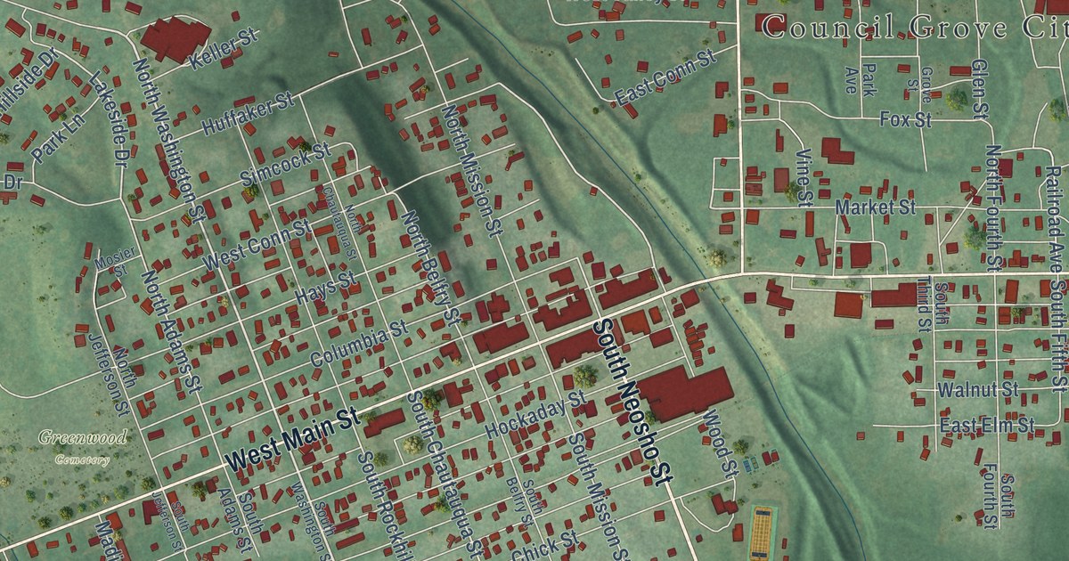
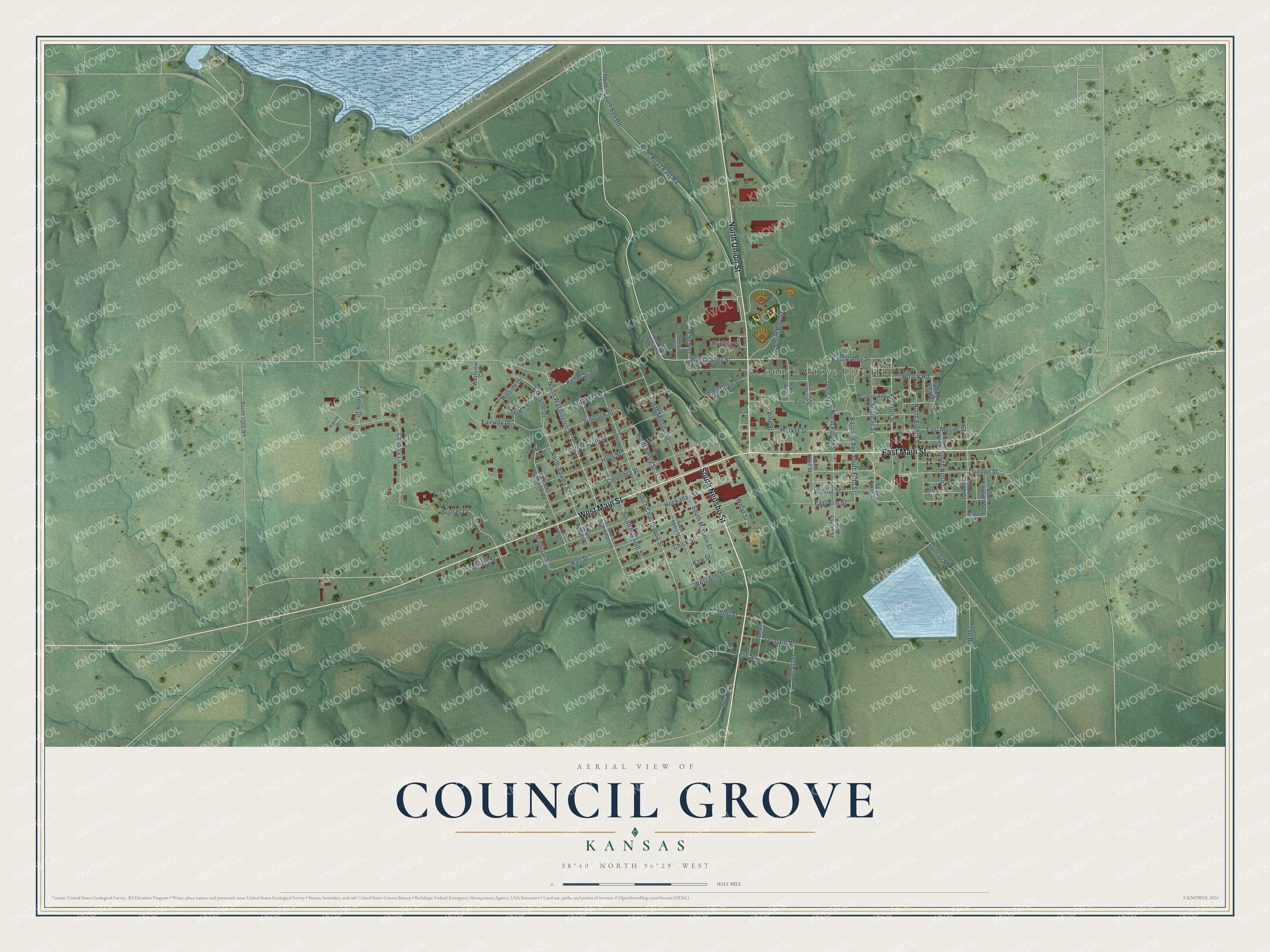
This beautifully detailed map of Council Grove, Kansas was created in 2026 using aerial imagery combined with modern topographical, census, street and landmark data. It’s a one-of-a-kind view of Council Grove that combines accurate data with a vintage aesthetic. The map shows every building in its true location, many of the roads carry their names, and the shaded topographic relief shows the shape of the land.
Explore an aerial view of Council Grove, Kansas
On the map you’ll find Council Grove City Hall and Greenwood Cemetery, along with South Neosho Street, West Main Street, North Union Street, East Main Street, North Washington Street, North Eighth Street, Lakeside Drive, East Valley Street, South Ninth Street, East Elm Street, and more. If you look closely you can even find your house accurately drawn in its correct location. Zoom in on the preview to look for yours.
Did you know this piece of Council Grove, Kansas history?
From the Kansas A Guide to the Sunflower State: "In 1826 Josiah Gregg of Independence, Mo., led the first large caravan across the ford at Council Grove. A year later, it is said, Kit Carson stopped to rest in the grove and carved his name on one of the elms."
Take a closer look at the Council Grove map
Street and place names on the Council Grove, Kansas map
These names are printed on the map of Council Grove, Kansas.
Places: Council Grove City Hall and Greenwood Cemetery.
Streets and roads: South Neosho Street, West Main Street, North Union Street, East Main Street, North Washington Street, West Valley Street, East Valley Street, North Eighth Street, Preston Street, South Ninth Street, South Chautauqua Street, East Elm Street.
More street names, A to Z
750 Road, 900 Road, Chick Street, Columbia Street, Country Lane, Custer Avenue, Donnon Street, Dunlap Road, East Conn Street, East Mosier Street, Fairway Drive, Fox Street, Glen Street, Grove Street, Guston Street, Hall Street, Hays Street, Hillside Drive, Hockaday Street, Houck Road, Huffaker Street, Hughes Street, Inman Street, Jennings Street, Jersey Street, Jonathon, Kaw Street, Keller Street, Lakeside Drive, Madison Street, Market Street, Meadow Drive, Mosier Street, North Adams Street, North Belfry Street, North Chautauqua Street, North Fourth Street, North Jefferson Street, North Mission Street, North Ninth Street, Oak Street, Orchard Street, Park Avenue, Park Lane, Pioneer Village, Railroad Avenue, Ravine Drive, River Road East Road, River Road West Road, Sample Street, Short Street, Simcock Street, South 825 Road, South 875 Road, South 1000 Road, South Adams Street, South Belfry Street, South Eleventh Street, South Fifth Street, South Fourth Street, South Jefferson Street, South Mission Street, South Pool Lane, South Rockhill Street, South Sixth Street, South Tenth Street, South Third Street, South Washington Street, Spencer Street, Sunset Drive, Velie Street, Vine Street, Walnut Street, Welch Street, West Conn Street, West Elm Street, Westview Court, Wood Street.
See the Council Grove, Kansas map on a wall
The Council Grove map as an 18 x 24 inch print in a black frame.

This beautifully detailed map of Council Grove makes an attractive addition to your office, library, or den, and it can even be used to teach children the geography and history of the area. It also makes a great gift for someone who left Council Grove and still calls it home. When you’re done exploring, click here to get your copy of the Council Grove map.