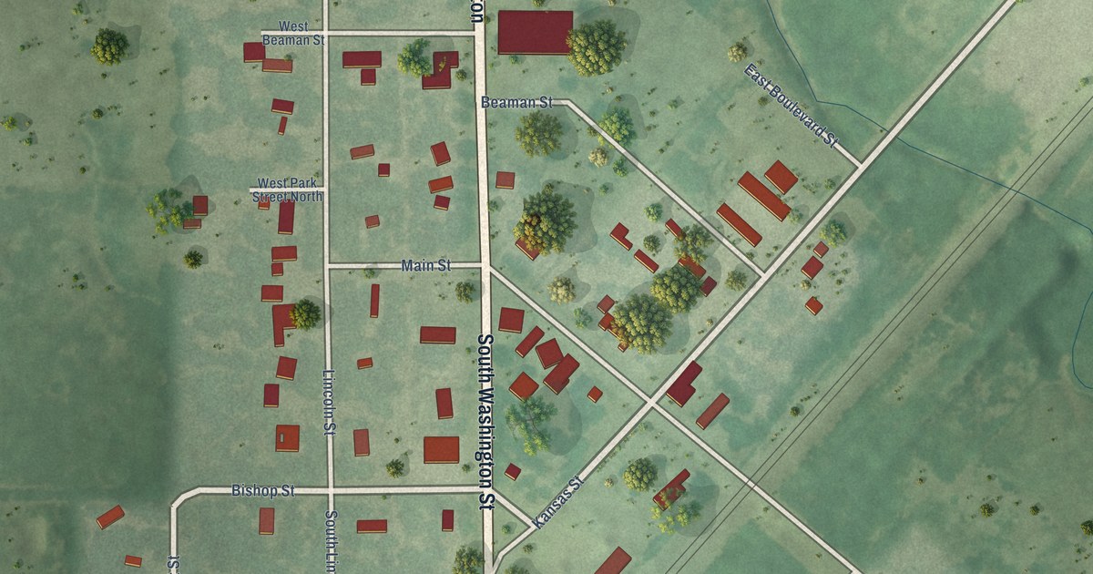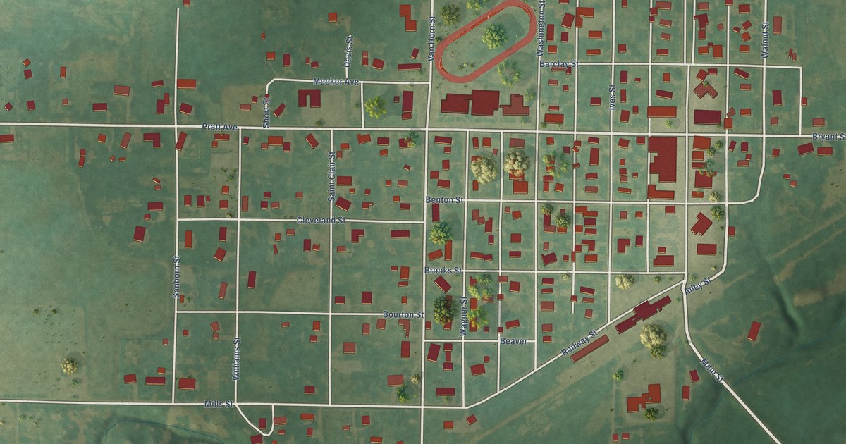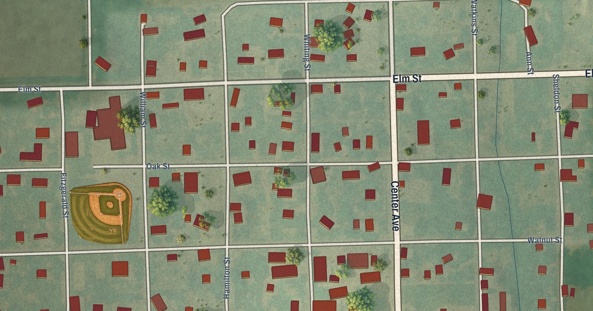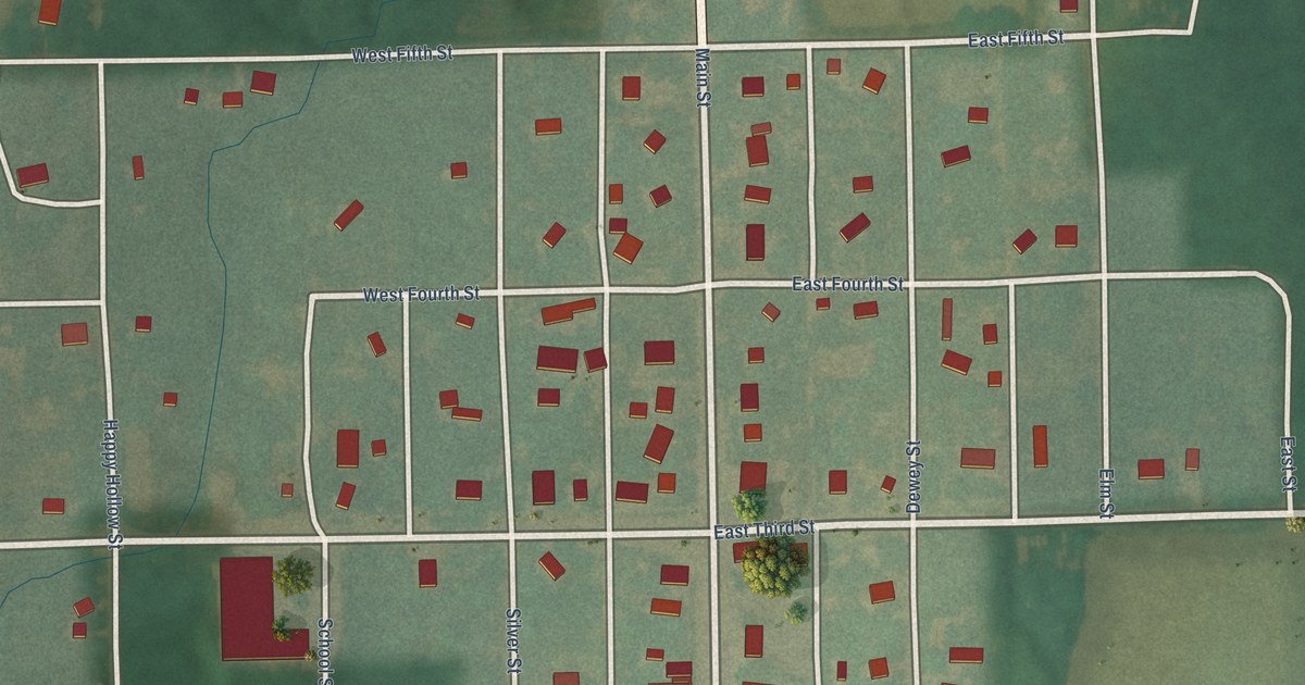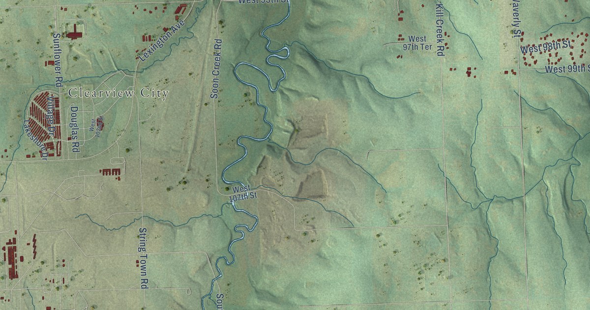
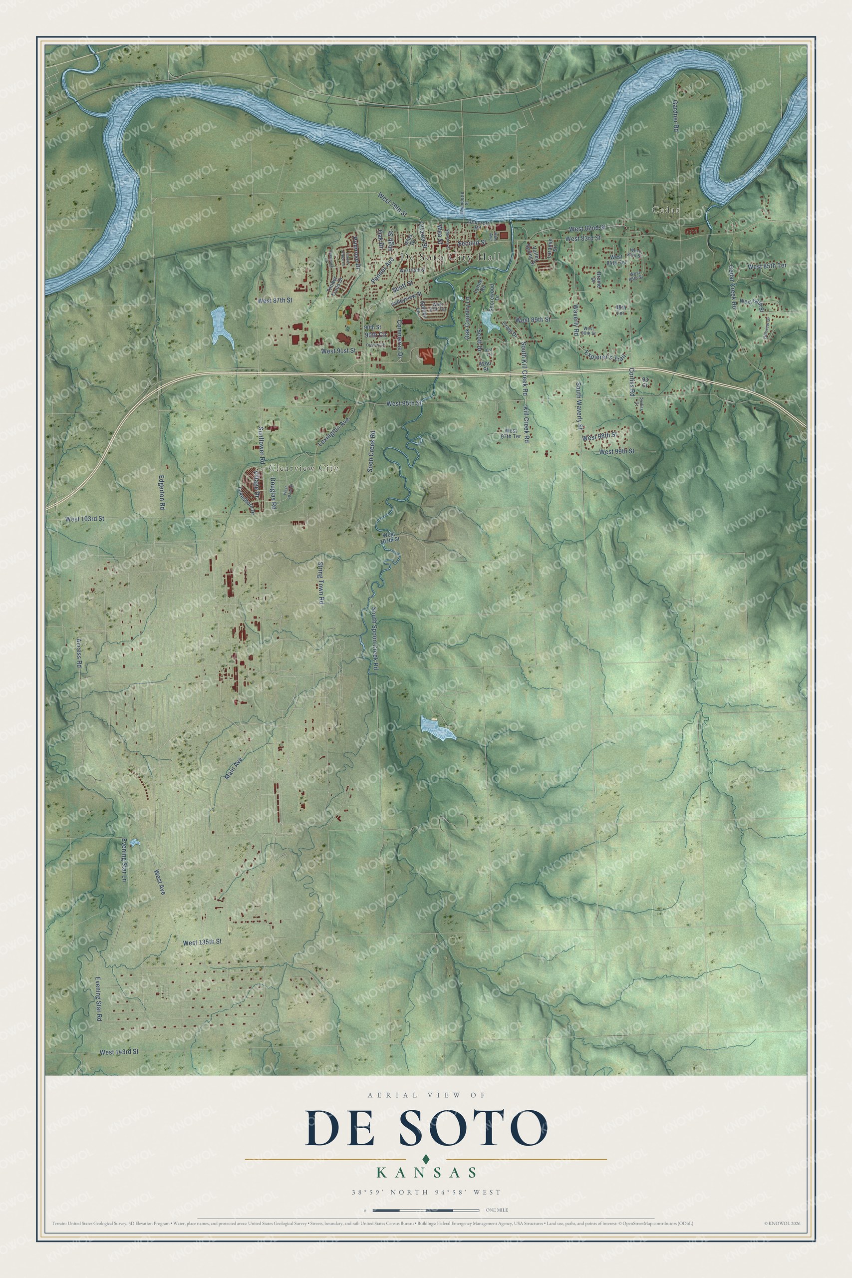
This beautifully detailed map of De Soto, Kansas was created in 2026 using aerial imagery combined with modern topographical, census, street and landmark data. It's a modern aerial view of De Soto in Johnson County, Kansas, that combines modern data with a vintage aesthetic. The roads feature printed names, and if you look closely you can find your exact house accurately shown in its correct location.
Explore an aerial view of De Soto, Kansas
On this map you'll find De Soto City Hall, Cedar, Clearview City, Access Road, West 135th Street, South Spoon Creek Road, Evening Star Road, West 89th Street, Oak Country Lane, Scott Street, Oak Drive, West 95th Street, and more. Each red shape is a building, so zoom in on the preview and look for yours.
Every town has a first chapter, and De Soto is no exception. The record at kancoll.org puts it this way: "The first marriage was a double one – Truesdale Barclay to Miss Melissa Gentry, and Robert Todd to Miss Mary Gentry, the ceremony occurring in 1859."
De Soto is a city in Johnson County. The Census Bureau counted 6,118 people here in 2020.
Take a closer look at the De Soto map
Names on this map
These names are printed on this map.
Places: De Soto City Hall, Cedar and Clearview City.
Streets and roads: Access Road, West 135th Street, South Spoon Creek Road, Evening Star Road, West 89th Street, Oak Country Lane, Scott Street, Oak Drive, West 95th Street, West Avenue, Main Avenue, West 83rd Street.
More street names, A to Z
88th Terrace, 90th Circle, 90th Street, 91st Terrace, 92nd Street, 93 Court, Beecroft Road, Brome Drive, Cedar Creek Road, Commerce Drive, Corliss Court, Corliss Road, Craig Drive, Douglas Road, Edgerton Road, Evening Star Lane, Explorer's Trail, Frederick Court, Gardner Road, Golden Lane, High Street, Hillview Drive, Istas Drive, Kaw Avenue, Kill Creek Road, Lakeshore Drive, Laramie Street, Lexington Avenue, Lynne Road, Orchard Drive, Ottawa Street, Penner Avenue, Primrose Drive, Scott Drive, Second Street, Shawnee Street, Shorewood Drive, Soon Creek Road, South Kill Creek Road, South Waverly Street, String Town Road, Sunflower Road, Timber Ridge Drive, Timber Trails Drive, Valley Spring Drive, Valleyview Street, Village Drive, Waverly Road, Wea Street, West 79th Street, West 82nd Street, West 84th Street, West 84th Terrace, West 85th Street, West 85th Terrace, West 86th Street, West 87th Street, West 87th Terrace, West 88th Street, West 90th Street, West 91st Street, West 97th Terrace, West 98th Street, West 99th Street, West 102nd Street, West 103rd Street, West 107th Street, West 143rd Street, Wyandotte Street.
Created by KNOWOL in 2026. The buildings are small red shapes, the roads carry their printed names, and shaded relief shows the shape of the land. The title panel reads "AERIAL VIEW OF DE SOTO KANSAS" with 38°59' NORTH 94°58' WEST.
Hang it in the hallway, the office or the cabin, or give it to someone who left De Soto and still calls it home. Open the preview and look for a street you know. See sizes and frames for the De Soto map.