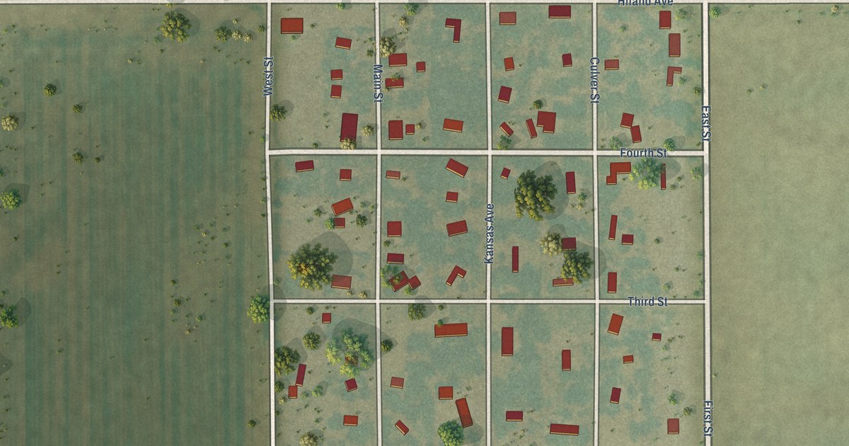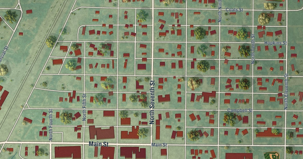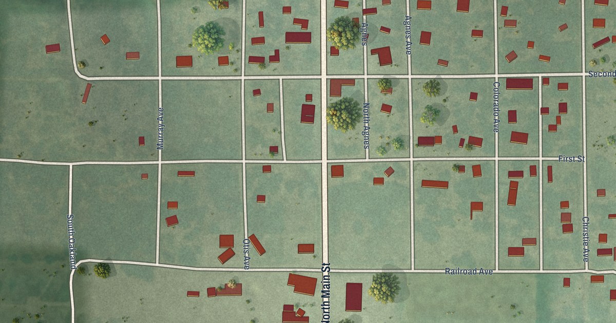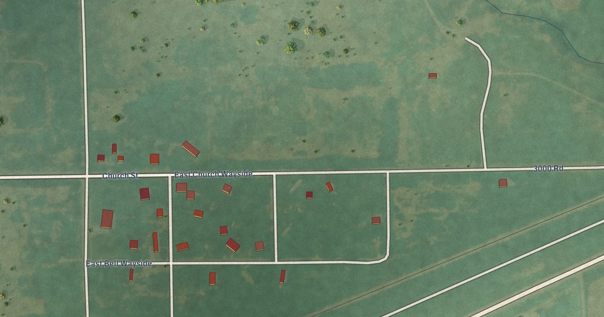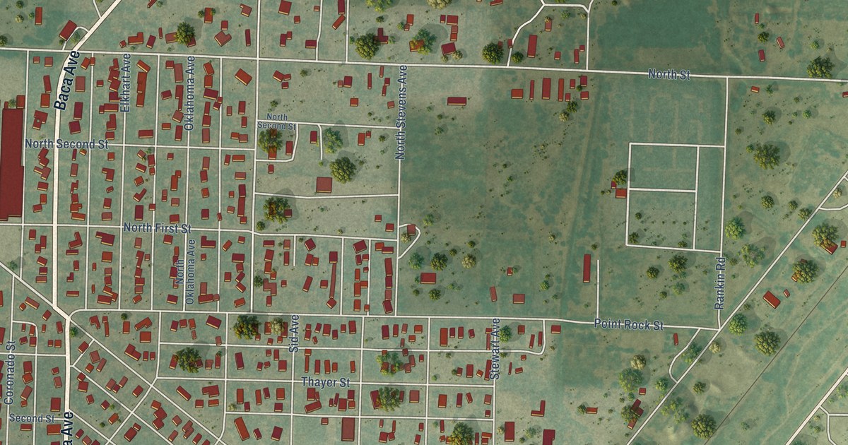
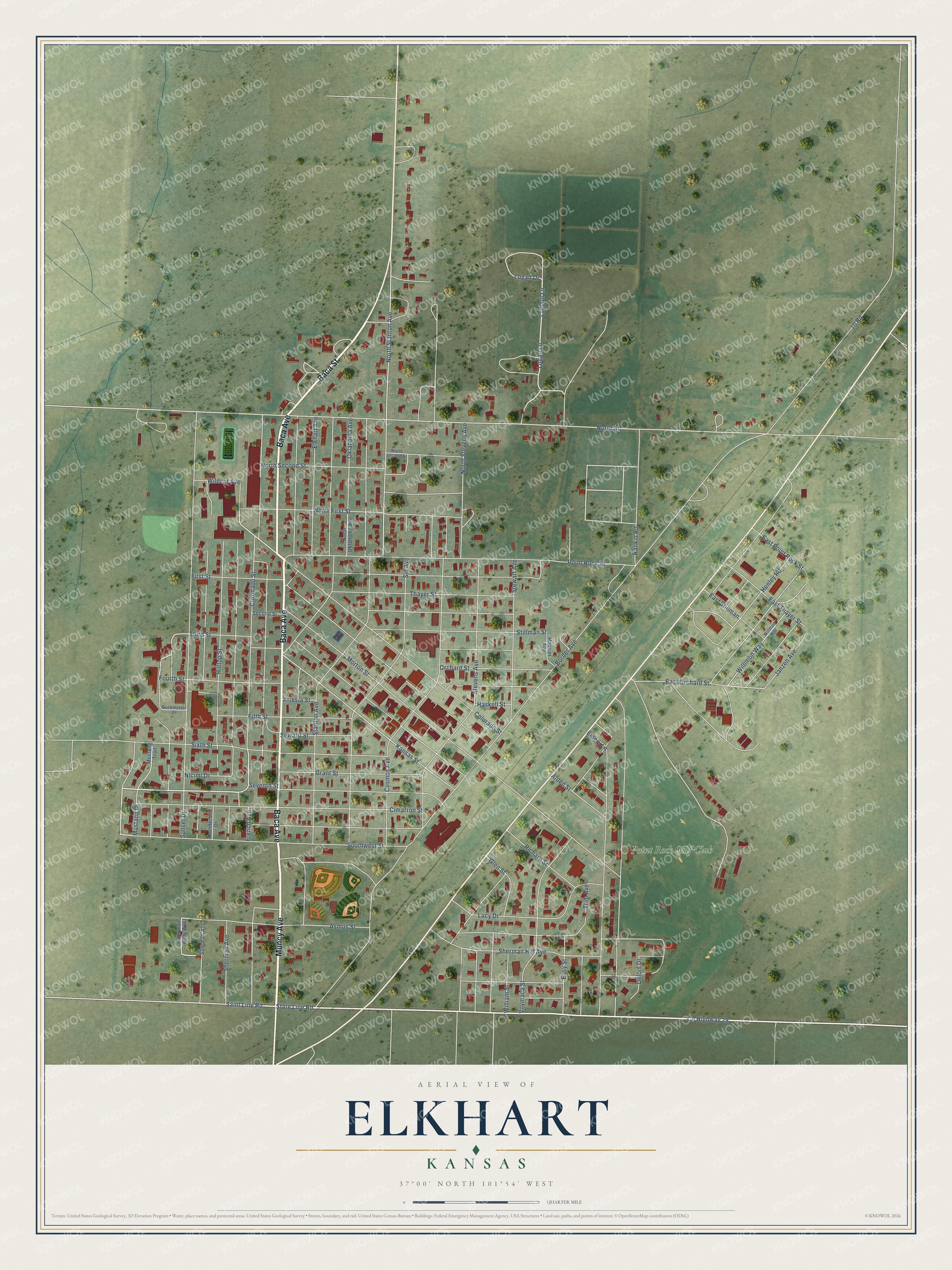
This beautifully detailed map of Elkhart, Kansas was created in 2026 using aerial imagery combined with modern topographical, census, street and landmark data. It’s a one-of-a-kind view of Elkhart that combines accurate data with a vintage aesthetic. The map shows every building in its true location, many of the roads carry their names, and the shaded topographic relief shows the shape of the land.
Explore an aerial view of Elkhart, Kansas
On the map you’ll find Point Rock Golf Club, along with Baca Avenue, Muncy Avenue, Baca Street, State Line Road, Saint Line Road, Colorado Street, Lagoon Lane, East Orchard Street, Sherman Avenue, North Street, Kansas Street, and more. If you look closely you can even find your house accurately drawn in its correct location. Zoom in on the preview to look for yours.
Did you know this piece of Elkhart, Kansas history?
From the Federal Writers Project: "Elkhart paved its streets, built an electric power plant, and installed an electric pump to replace the windmill at the city well. A decline began in 1926 with the extension of the railroad through Elkhart into Oklahoma."
Take a closer look at the Elkhart map
Street and place names on the Elkhart, Kansas map
These names are printed on the map of Elkhart, Kansas.
Places: Point Rock Golf Club.
Streets and roads: Baca Avenue, Muncy Avenue, Baca Street, State Line Road, Saint Line Road, Colorado Street, Lagoon Lane, East Orchard Street, Sherman Avenue, North Street, Kansas Street, Stanton Avenue.
More street names, A to Z
10 Road, Alden Street, Artesia Street, Asmus Street, Border Avenue, Buckmaster Drive, Cimarron Street, Coronado Street, Cosmos Avenue, County Highway 29, Delois Drive, East Point Rock Street, East Stillman, East Thayer Street, Easy Street, Elkhart Avenue, Emery Lane, Fifth Street, First Street, Fourth Street, French Avenue, Glen Street, Grant Street, Haskell Street, Henley Road, Hilltop Street, Hoosier Avenue, Janzen Avenue, Logan Drive, Logan Lane, Lucy Drive, Morton Street, Mustang Drive, Mustang Trail, Nicimi Drive, North First Street, North Oklahoma Avenue, North Second Street, North Stanton Avenue, North Stevens Avenue, Oklahoma Avenue, Orchard Street, Point Rock Street, Rankin Road, Richard Street, Second Street, Seventh Street, Seward Street, Sherman Alley, Sherman Alley West, Sherman Hill Avenue, Sid Avenue, Sixth Street, Southwest Street, Stevens Avenue, Stewart Avenue, Stillman Street, Sunset Drive, Thayer Street, Third Street, Thunderbird Drive, Trim Avenue, Vilymaca Street, Wildcat Avenue, William Street, Willimon Way, Willman Way.
See the Elkhart, Kansas map on a wall
The Elkhart map as an 18 x 24 inch print in a black frame.

This beautifully detailed map of Elkhart makes an attractive addition to your office, library, or den, and it can even be used to teach children the geography and history of the area. It also makes a great gift for someone who left Elkhart and still calls it home. When you’re done exploring, click here to get your copy of the Elkhart map.