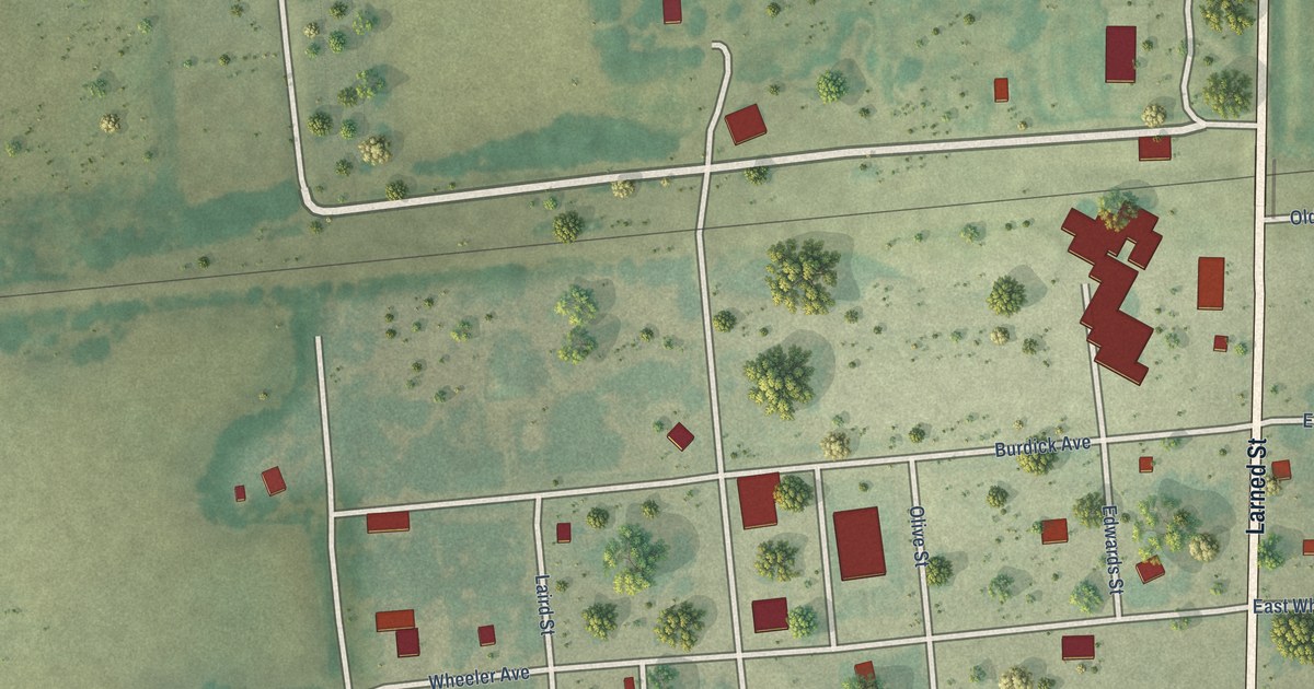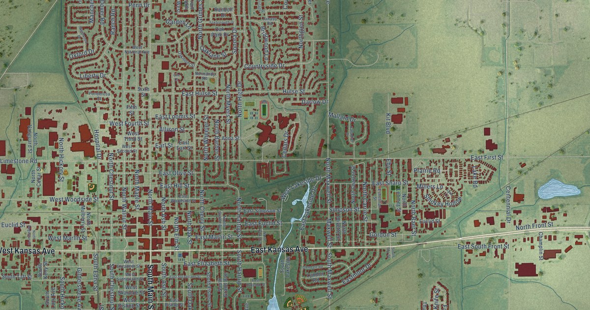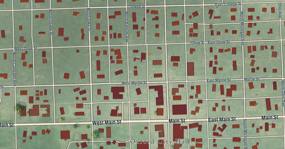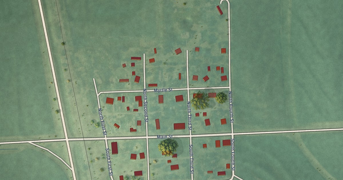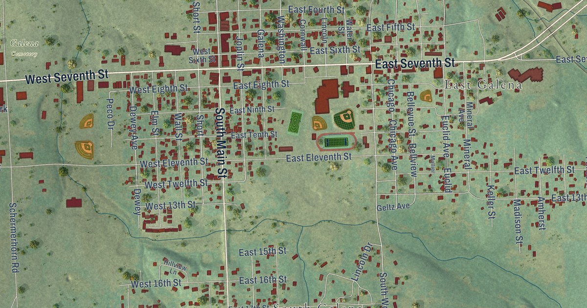
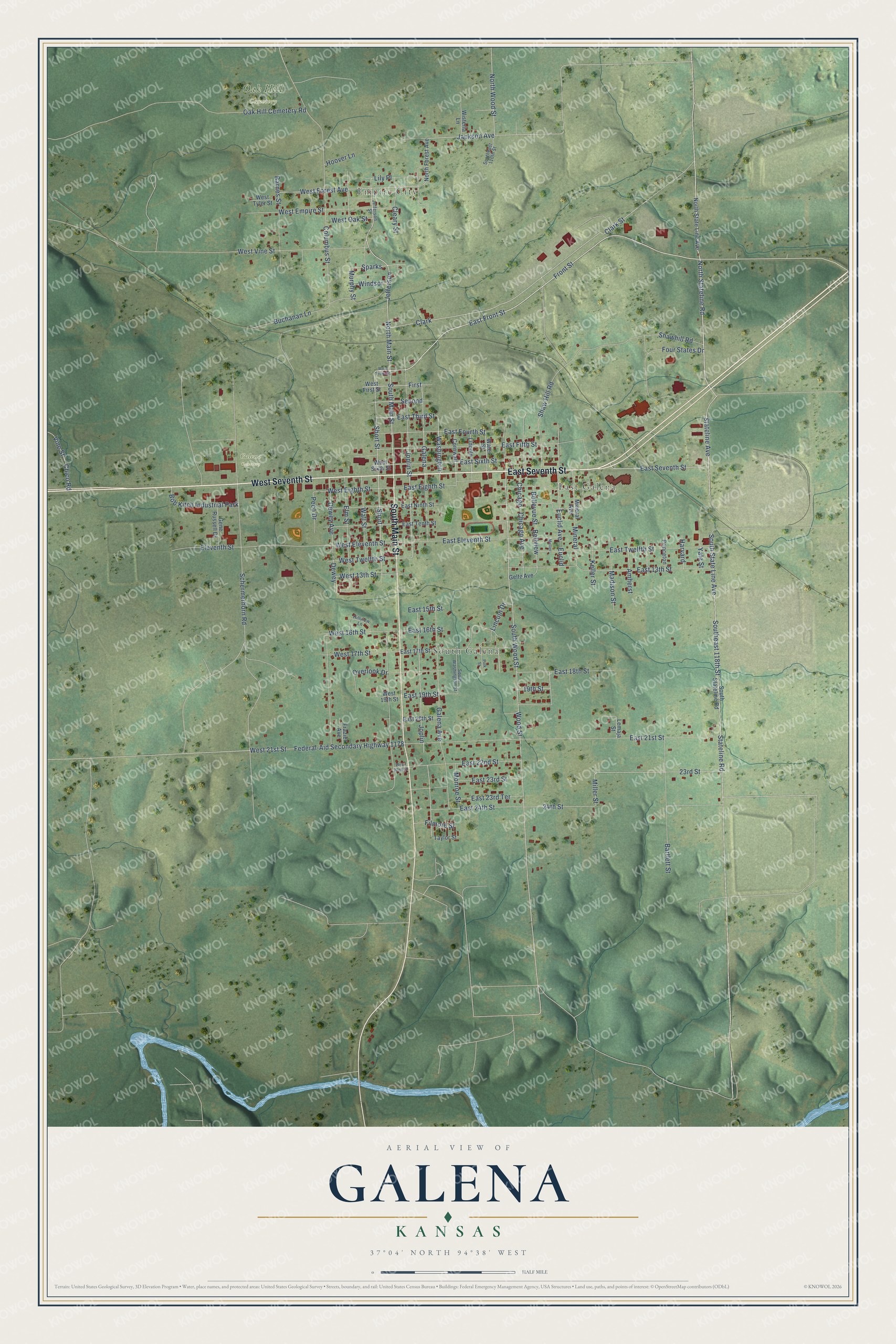
This beautifully detailed map of Galena, Kansas was created in 2026 using aerial imagery combined with modern topographical, census, street and landmark data. It's a modern aerial view of Galena in Cherokee County, Kansas, that combines modern data with a vintage aesthetic. The roads feature printed names, and if you look closely you can find your exact house accurately shown in its correct location.
Explore an aerial view of Galena, Kansas
On this map you'll find Empire City, South Galena, East Galena, Oak Hill Cemetery, Galena Cemetery, East Seventh Street, West Seventh Street, South Main Street, South State Line Avenue, East Front Street, North Main Street, Stateline Road, and more. Each red shape is a building, so zoom in on the preview and look for yours.
Here is a piece of Galena history, in the words of the record. The record at kancoll.org puts it this way: "The first school was taught in the winter of 1877-78, in a building that had been built for a store room."
Galena is a city in Cherokee County. The Census Bureau counted 2,761 people here in 2020.
Take a closer look at the Galena map
Names on this map
These names are printed on this map.
Places: Empire City, South Galena, East Galena, Oak Hill Cemetery, Galena Cemetery and Bob Kitch Industrial Park.
Streets and roads: East Seventh Street, West Seventh Street, South Main Street, South State Line Avenue, East Front Street, North Main Street, Stateline Road, Jefferson, Washington, Front Street, North Stateline Road, Jackson Avenue.
More street names, A to Z
19th Street, 23rd Street, 24th Street, Amherst, Barnes Street, Bartlett Street, Bellevue Street, Bellview, Buchanan Lane, Chicago, Chicago Avenue, Chico Road, Clark, Clark Street, Cleary Street, Columbus Street, Cornwall, Dewey, Dewey Avenue, East 13th Street, East 15th Street, East 16th Street, East 17th Street, East 18th Street, East 19th Street, East 20th Street, East 21st Street, East 22nd Street, East 23rd Street, East 23rd Terrace, East 24th Street, East Eighth Street, East Eleventh Street, East Fifth Street, East Fourth Street, East Ninth Street, East Sixth Street, East Tenth Street, East Third Street, East Twelfth Street, Eleventh Street, Elm Street, Euclid, Euclid Avenue, Federal-Aid Secondary Highway 1178, Filmore Street, First, Four States Drive, Frazier Avenue, Galena, Galena Avenue, Geltz Avenue, Gene Russell Drive, Harvard, Hillview Lane, Hoover Lane, Jefferson Street, Joplin, Joplin Street, Keller Street, Lemaja Street, Lily Place, Lincoln, Lincoln Drive, Madison Street, Miller Street, Mineral, Mineral Avenue, Mollier, Monroe Street, Murphy Street, North Forest Avenue, North State Line Avenue, North Wood Street, Oak Hill Cemetery Road, Overlook Drive, Peco Drive, Polk Street, Princeton, Schermerhorn Road, Second, Shaw Hill Road, Shawhill Road, Short, Short Street, Southeast 110th Street, Southeast 118th Street, South Stateline Road, South Washington Street, South Wood Street, Sparks, Stateline Avenue, Taylor Street, Vine Street, Wall Street, Water Street, West 13th Street, West 16th Street, West 17th Street, West 19th Street, West 21st Street, West 22nd Street, West Eighth Street, West Eleventh Street, West Empire Street, West First Street, West Forest Avenue, West Front Street, West Oak Street, West Sixth Street, West Twelfth Street, West Tyler Street, West Vine Street, Windsor, Wisteria Lane, Wood Street, Yale Street.
Created by KNOWOL in 2026. The buildings are small red shapes, the roads carry their printed names, and shaded relief shows the shape of the land. The title panel reads "AERIAL VIEW OF GALENA KANSAS" with 37°04' NORTH 94°38' WEST.
It suits a den, a classroom or a front hall, and it makes a gift for anyone with Galena roots. Open the preview and find the block you know. See sizes and frames for the Galena map.