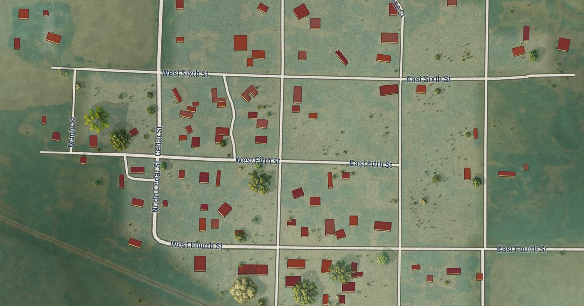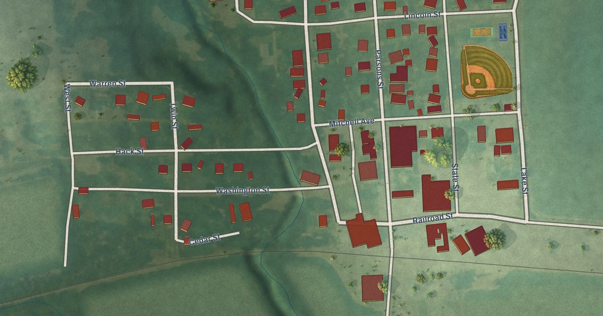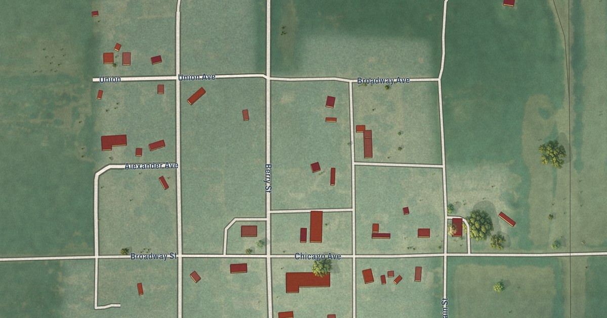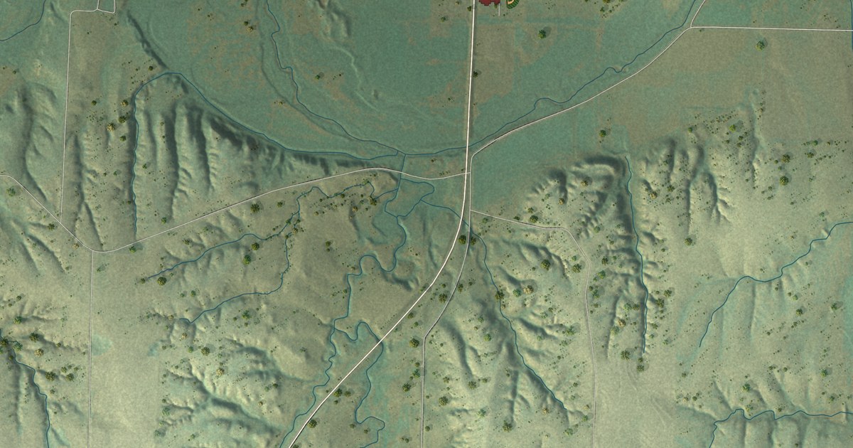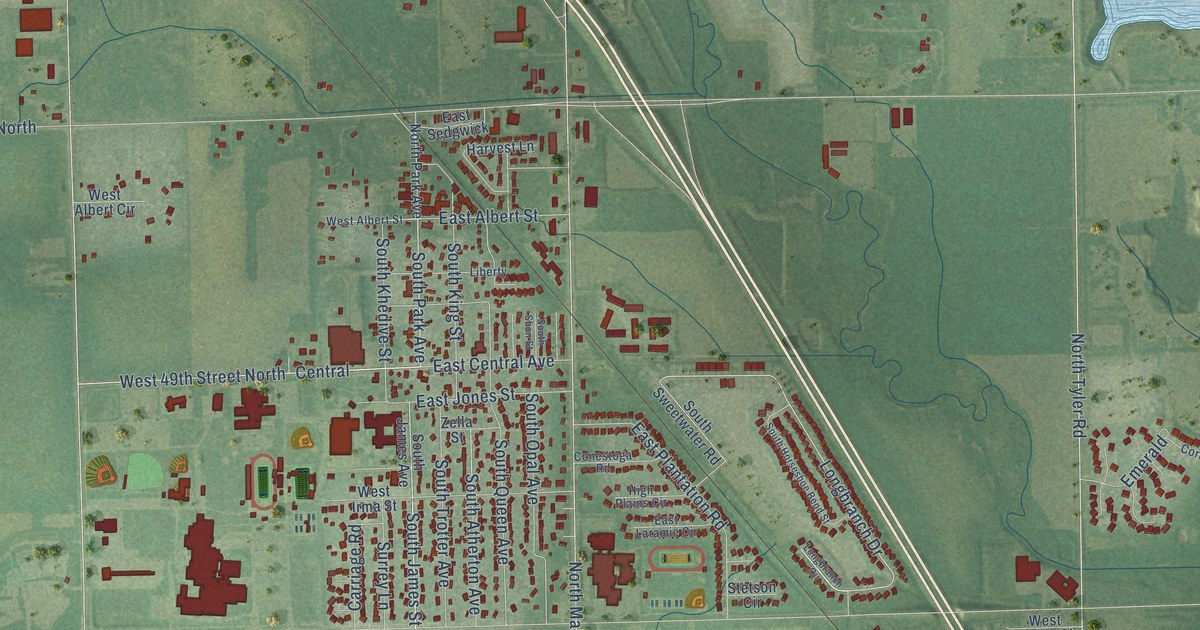
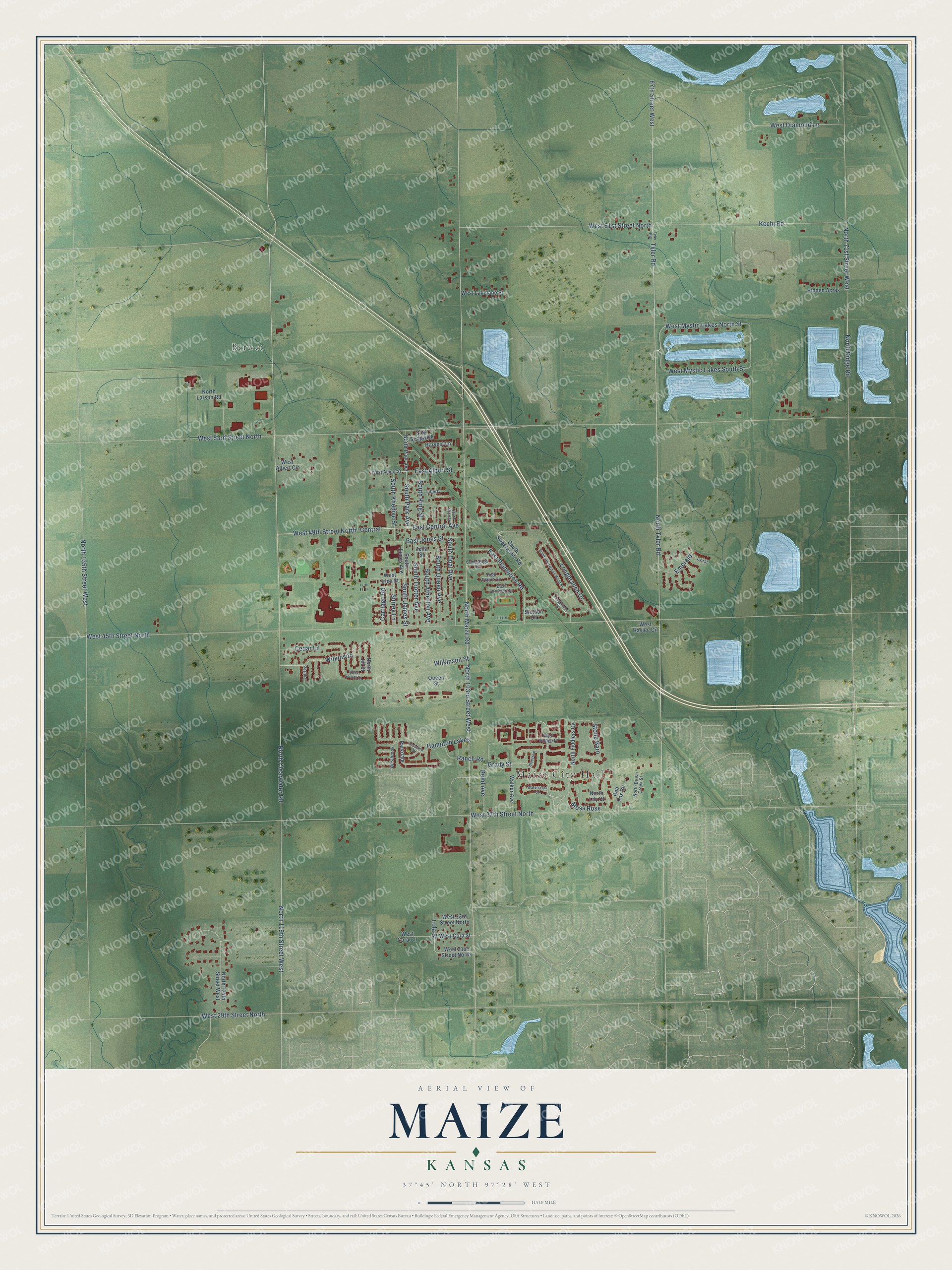
This beautifully detailed map of Maize, Kansas was created in 2026 using aerial imagery combined with modern topographical, census, street and landmark data. It's a modern aerial view of Maize in Sedgwick County, Kansas, that combines modern data with a vintage aesthetic. The roads feature printed names, and if you look closely you can find your exact house accurately shown in its correct location.
Explore an aerial view of Maize, Kansas
On this map you'll find Maize City Hall, Berwet, Grady Street, South James Street, South Park Avenue, Lola Street, West Mystic Lakes North Street, Longbranch Drive, West 49th Street North, Wilkinson, North 119th Street West, 87th Street West, and more. Each red shape is a building, so zoom in on the preview and look for yours.
Maize has a story worth telling. The City of Maize puts it this way: "The area around Maize was first settled by J.K. Steele and his wife Anna in 1870. They, and the other pioneers of Maize, came despite the presence of the Osage Indians, who were the original occupants of the region and were not yet completely willing to give up the land."
Maize is a city in Sedgwick County. The Census Bureau counted 5,735 people here in 2020.
Take a closer look at the Maize map
Names on this map
These names are printed on this map.
Places: Maize City Hall and Berwet.
Streets and roads: Grady Street, South James Street, South Park Avenue, Lola Street, West Mystic Lakes North Street, Longbranch Drive, West 49th Street North, Wilkinson, North 119th Street West, 87th Street West, Wilkinson Street, North Maize Road.
More street names, A to Z
Bluestem, Carriage Road, Cedar Lane, Central, Clubview Drive, Conestoga Road, Coral, East Albert Street, East Central Avenue, East Jones Street, East Laramie Circle, East Plantation Road, East Sedgwick, Emerald, Hampton Lakes, Harvest Lane, Hidden Acres, High Plains Circle, Kechi Road, Liberty, Longbranch Circle, Moss Rose, North 71st Street West, North 103rd Street West, North 124th Street West, North 135th Street West, North Brush Creek Street, North Clearwater Road, North Fiddlers Cv, North Jill Street, North Larson Road, North Lily Court, North Park Avenue, North Ridge Road, North Tyler Road, Parkdale, Perlive, Queen Street, Ranch Road, Red Fox Circle, Reed Avenue, South Atherton Avenue, South Horseshoe Bend Street, South James Avenue, South Khedive Street, South King Street, South Opal Avenue, South Queen Avenue, South Shon Street, South Sweetwater Road, South Trotter Avenue, Stetson Circle, Stone Barn, Surrey Lane, Tyler Rd-, Tyler Road, Walker Avenue, Watercress Court, West 29th Street North, West 31st Street North, West 33rd Street North, West 37th Street North, West 45th Street North, West 53rd Street North, West 61st Street North, West Albert Circle, West Albert Street, Westbrook, West Cora Circle, West Cora Street, West Diamond Lane, West Haylee Circle, West Irma Street, West Lakelane Street, West Mystic Lakes South Street, West Sondra Street, West Village Place, Zella Street.
Created by KNOWOL in 2026. The buildings are small red shapes, the roads carry their printed names, and shaded relief shows the shape of the land. The title panel reads "AERIAL VIEW OF MAIZE KANSAS" with 37°45' NORTH 97°28' WEST.
It looks right in a kitchen, an office or a den, and it's a gift for anyone who grew up in Maize or moved away. Open the preview and find your street. See sizes and frames for the Maize map.