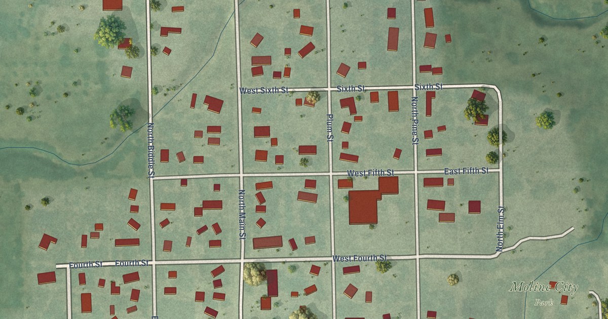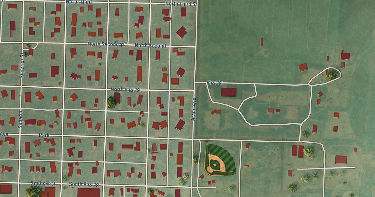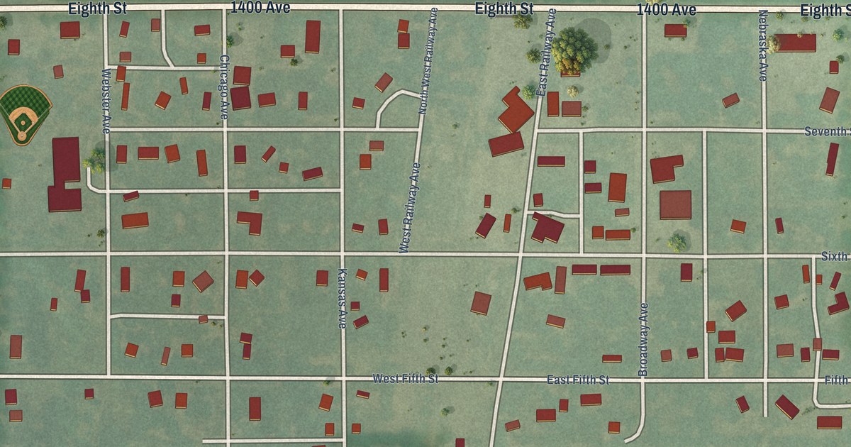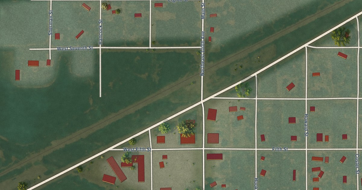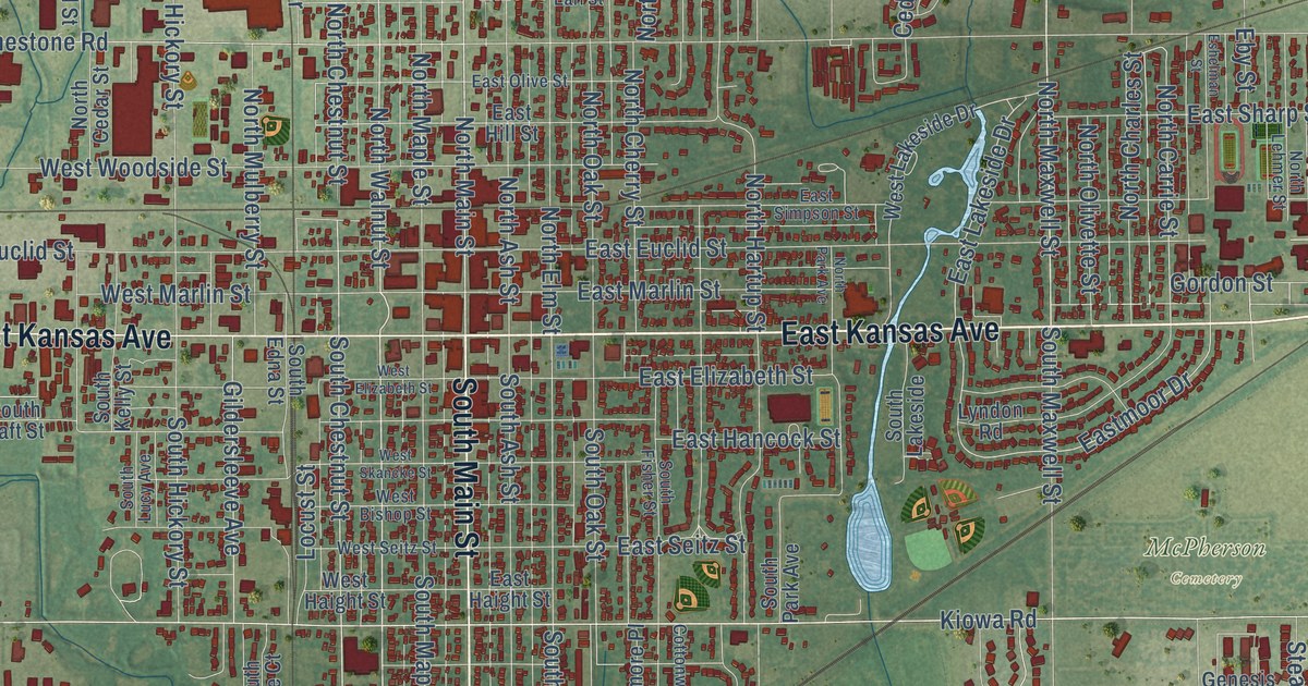
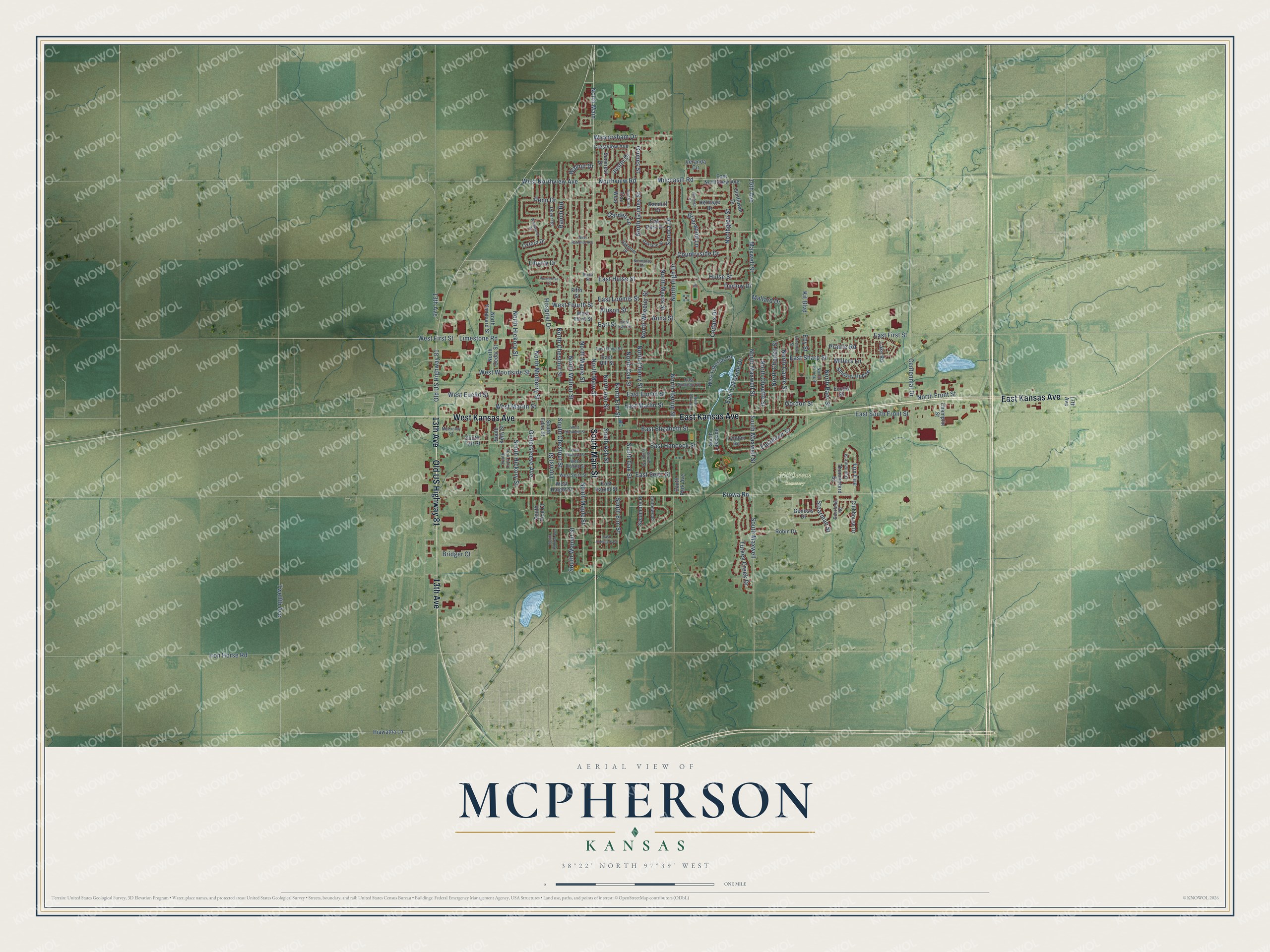
This beautifully detailed map of McPherson, Kansas was created in 2026 using aerial imagery combined with modern topographical, census, street and landmark data. It’s a one-of-a-kind view of McPherson that combines accurate data with a vintage aesthetic. The map shows every building in its true location, many of the roads carry their names, and the shaded topographic relief shows the shape of the land.
Explore an aerial view of McPherson, Kansas
On the map you’ll find McPherson Cemetery and North Main, along with East Kansas Avenue, South Main Street, 13th Avenue, Old US Highway 81, West Kansas Avenue, North Main Street, North Walnut Street, Walnut Drive, South Walnut Street, South Chestnut Street, and more. If you look closely you can even find your house accurately drawn in its correct location. Zoom in on the preview to look for yours.
Did you know this piece of McPherson, Kansas history?
From Kancoll.org: "The McPherson County Agricultural Society was formed in August, 1875, the first fair being held October 11-12 of that year."
Take a closer look at the McPherson map
Street and place names on the McPherson, Kansas map
These names are printed on the map of McPherson, Kansas.
Places: McPherson Cemetery.
Streets and roads: East Kansas Avenue, South Main Street, 13th Avenue, Old US Highway 81, West Kansas Avenue, North Main Street, North Walnut Street, South Walnut Street, North Main, Walnut Drive, South Chestnut Street, North Chestnut Street.
More street names, A to Z
15th Avenue, 17th Avenue, Allison Street, Anna Street, Briarwood Lane, Bridger Court, Cedars Drive, Centennial Drive, Champlin Street, Clubhouse Drive, Cottonwood, Countryside Drive, Crestview Avenue, Darlow Drive, Deerfield Road, Dover Road, Dull Knife Street, Earl Street, East Avenue East, East Earl Street, East Elizabeth Street, East Euclid Street, East First Street, East Haight Street, East Hancock Street, East Hill Street, East Hulse Street, East Lakeside Drive, East Loomis Street, East Marlin Street, Eastmoor Drive, East Northview Avenue, East Olive Street, East Seitz Street, East Sharp Street, East Simpson Street, East South Front Street, Eby Street, Eshelman Street, Euclid Street, Fifth Street, Fox Fire, Garden Lane, Genesis Drive, Gildersleeve Avenue, Gordon Street, Grimes Street, Heritage Drive, Heritage Place, Hiawatha Lane, Hospital Drive, Hulse Street, Iron Horse Road, Justin Drive, Kiowa Road, Kit Boulevard, Lake Road, Liberty Drive, Limestone Road, Locust Street, Lyndon Road, Mallard Drive, Maxwell Street, McKinley Street, Millers Lane, Moccasin Road, Normandy Road, North Ash Street, North Baer Street, North Carrie Street, North Cedar Street, North Charles Street, North Cherry Street, North Elm Street, North Front Street, Northglen Street, North Grimes Street, North Hartup Street, North Hickory Street, North High Drive, North Lehmer Street, North Maple Street, North Maxwell Street, North Mulberry Street, North Myers Street, North Oak Street, North Olivette Street, North Park Avenue, North Vanguard Street, Northview Road, North Wheeler Street, Oaklane Street, Oakmont Street, Oak Park Drive, Oxford Drive, Penn Drive, Ponderosa Court, Prairie Road, Ranch Road, Randolf Drive, Robin Drive, Sixth Street, Smokey Hollow, Sonora Drive, South Ash Street, South Central Avenue, South Edna Street, South Elm Street, South Fisher Street, South Hickory Street, South Kelly Street, South Lakeside, South Lucy Avenue, South Maple Street, South Maxwell, South Maxwell Street, South Oak Street, South Park Avenue, South Pine Court, South Taft Street, Stearman Street, Suncrest Drive, Sunflower Drive, Sycamore Place, Thunderbird Street, Trail North, Trail West, Turkey Creek Drive, Twelfth Avenue, Veranda Circle, West Bishop Street, West Elizabeth Street, West Euclid Street, West First Street, West Fourth Street, West Haight Street, West Lakeside Drive, West Marlin Street, West National Avenue, West Northview Avenue, West Seitz Street, West Skancke Street, West Third Street, Westwood Drive, West Woodside Street, Wickersham Drive.
See the McPherson, Kansas map on a wall
The McPherson map as an 18 x 24 inch print in a black frame.

This beautifully detailed map of McPherson makes an attractive addition to your office, library, or den, and it can even be used to teach children the geography and history of the area. It also makes a great gift for anyone with McPherson roots. When you’re done exploring, click here to get your copy of the McPherson map.