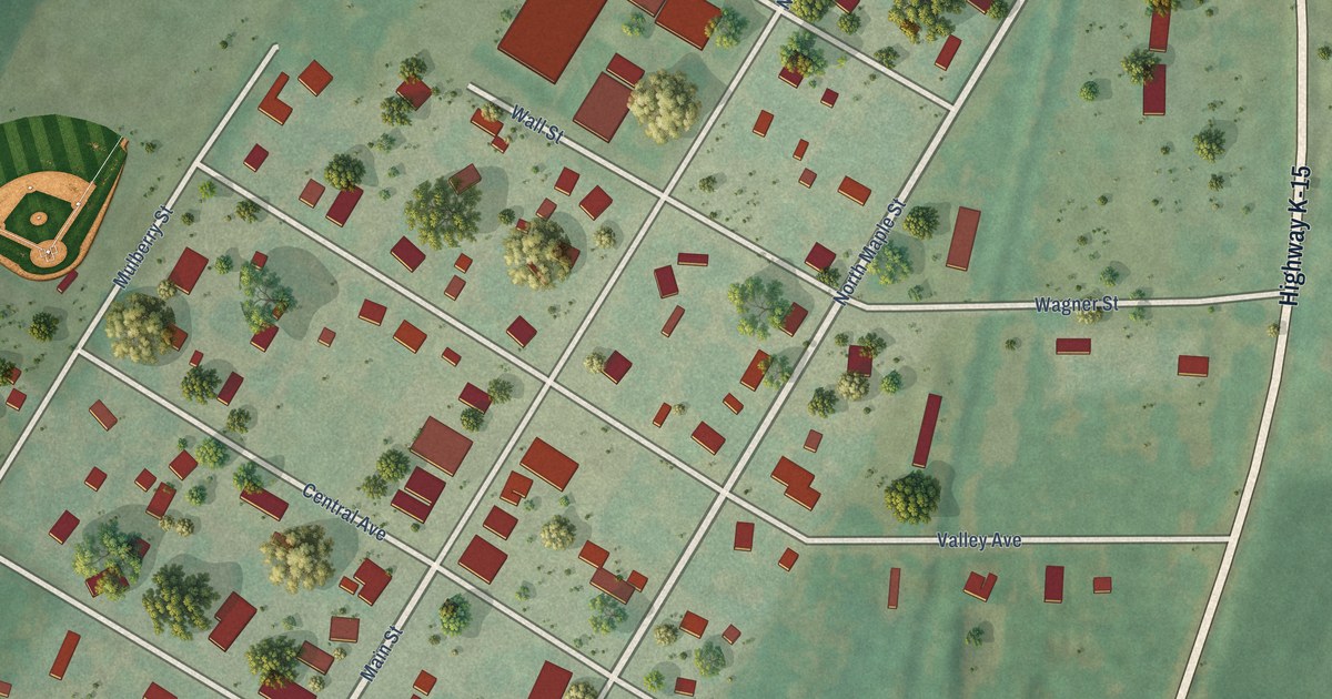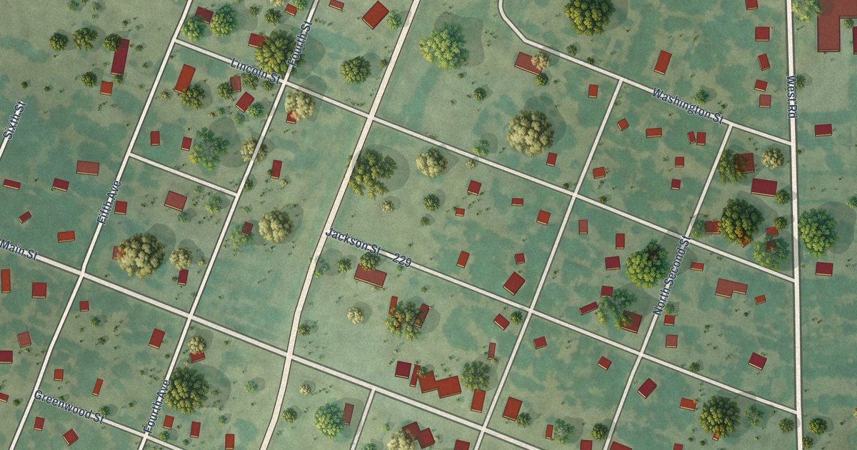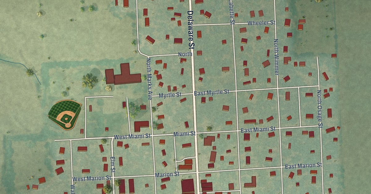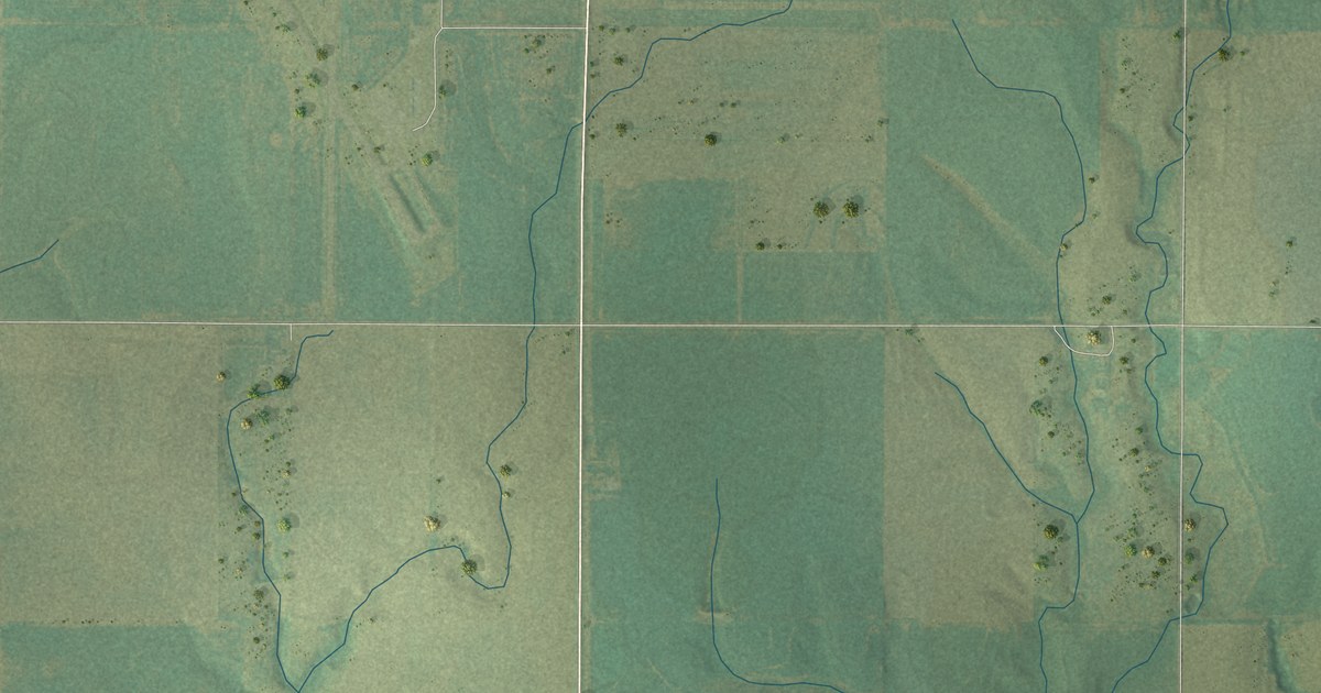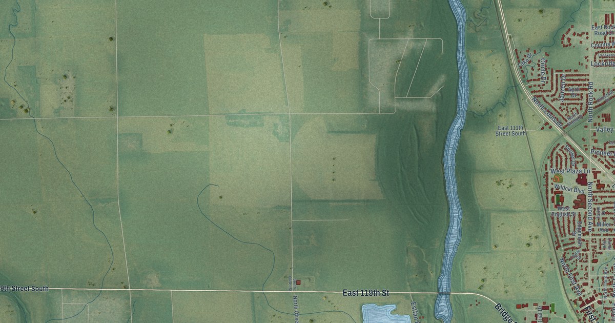
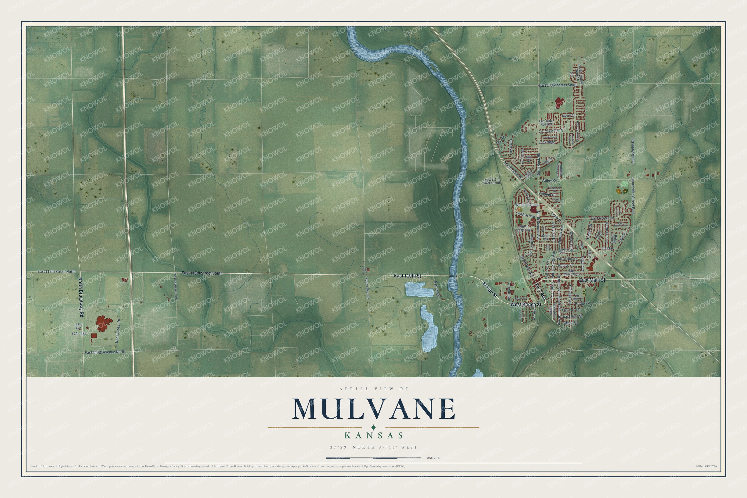
This beautifully detailed map of Mulvane, Kansas was created in 2026 using aerial imagery combined with modern topographical, census, street and landmark data. It's a modern aerial view of Mulvane in Sedgwick County, Kansas, that combines modern data with a vintage aesthetic. The roads feature printed names, and if you look closely you can find your exact house accurately shown in its correct location.
Explore an aerial view of Mulvane, Kansas
On this map you'll find East 119th Street, West Bridge Street, First Avenue, North Broadway Road, Bridge Street, East Main Street, Fourth Avenue, South Central Avenue, North Fourth Avenue, North Second Avenue, Central Avenue, Riverdale Drive, and more. Each red shape is a building, so zoom in on the preview and look for yours.
Here is a piece of Mulvane history, in the words of the record. The Kansas Cyclopedia of State History puts it this way: "The town was laid out in 1879, and the first building was erected by Dr. Whitehorn. The first store was opened by J. S. Brown, the first dwelling was built by Lee Wilson, J. N. Trickey opened the first dry goods store and the Mulvane House was erected by A. C. Crawford."
Mulvane is a city in Sedgwick County. The Census Bureau counted 6,286 people here in 2020.
Take a closer look at the Mulvane map
Names on this map
These names are printed on this map.
Streets and roads: East 119th Street, West Bridge Street, First Avenue, North Broadway Road, Bridge Street, East Main Street, Fourth Avenue, South Central Avenue, North Fourth Avenue, North Second Avenue, Central Avenue, Riverdale Drive.
More street names, A to Z
142nd Street, 143rd Avenue, April Drive, Arbor Street, Ash Avenue, Autumn Valley Circle, Cedar Street, Centennial Road, Charles Avenue, Chestnut Drive, Circle Drive, College Avenue, Cottonwood Avenue, Country Walk Lane, Creekstone Street, East 103rd Street South, East 111th Street South, East 119th Street North, East 119th Street South, East 140th Avenue North, East Blair Street, East Helbert Street, East Mulvane Street, East Pearl Street, East Rivera Drive, East Rock Road Court, East Saddle Run, Eastview Drive, East Vine Street, Edgemoor Drive, Emery Street, Estfan Road, Farrel Drive, Fox Run, Franklin Avenue, Frontier Drive, Industrial Drive, Janzen Drive, Kansas Star Drive, Lake Drive, Lisa Lane, Lockridge, Louis Drive, Luella Avenue, Miller Avenue, Myers Circle, North Country Walk Lane, North Erin Lane, North First Avenue, North Hydraulic Road, North Louis Drive, North Oliver Road, North Rock Road, North Shelly Drive, North Third Avenue, Olive Avenue, Olive Court, Pioneer Place, Prairie Run Circle, Ridge Point Drive, Russell Street, Sharon Court, South 95th Street East, South Fourth Avenue, South Oliver Street, South Webb Road, Sunset Drive, Timbers Edge Court, Trail Drive, Trail Drive Circle, Tristan Drive, Valley Road, Wendy Kay Lane, West English Street, West Plaza Lane, Wildcat Boulevard.
Created by KNOWOL in 2026. The buildings are small red shapes, the roads carry their printed names, and shaded relief shows the shape of the land. The title panel reads "AERIAL VIEW OF MULVANE KANSAS" with 37°29' NORTH 97°15' WEST.
It suits a den, a classroom or a front hall, and it makes a gift for anyone with Mulvane roots. Open the preview and find the block you know. See sizes and frames for the Mulvane map.