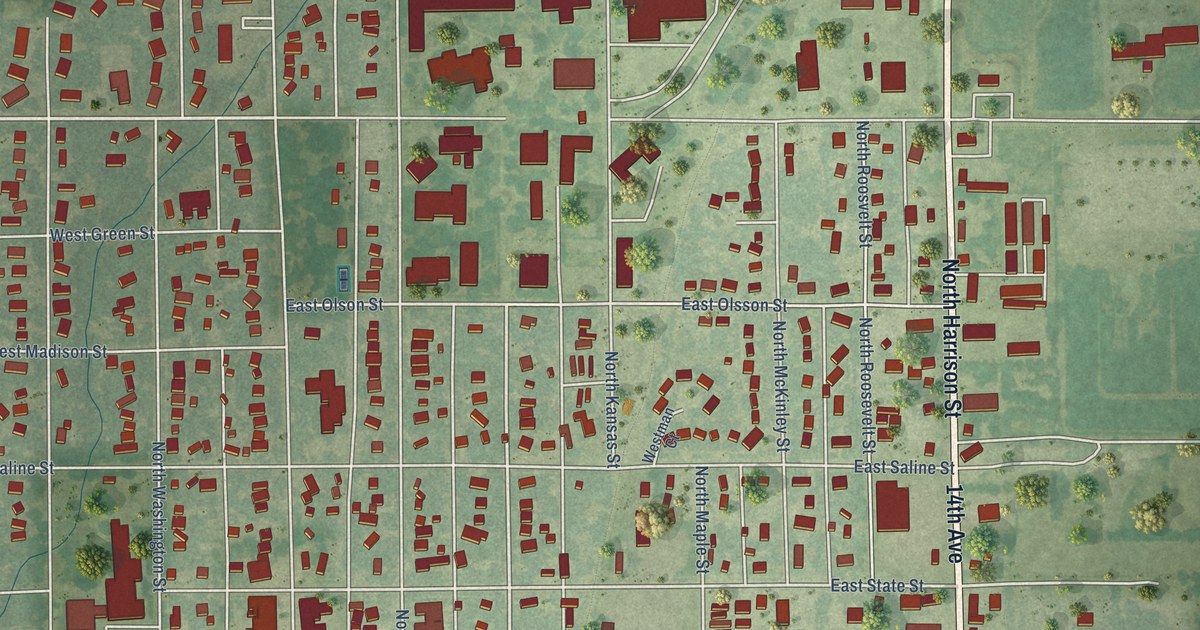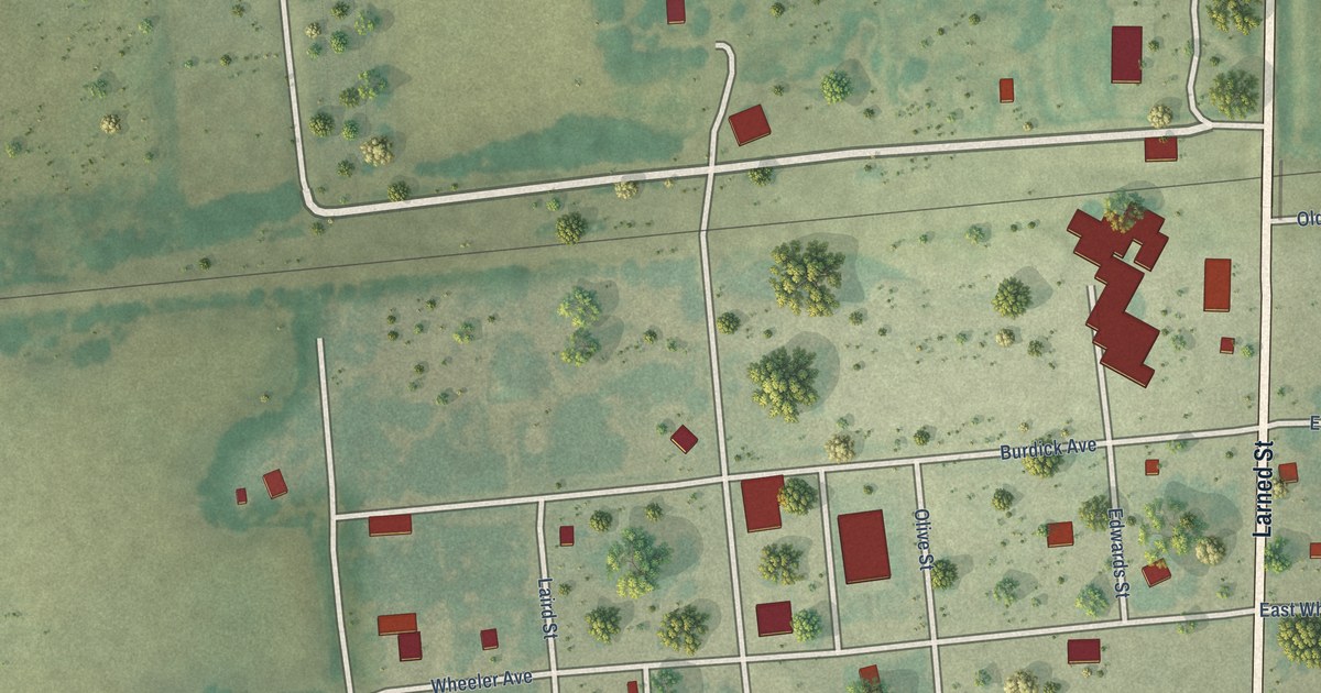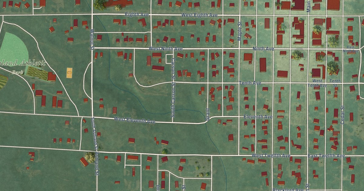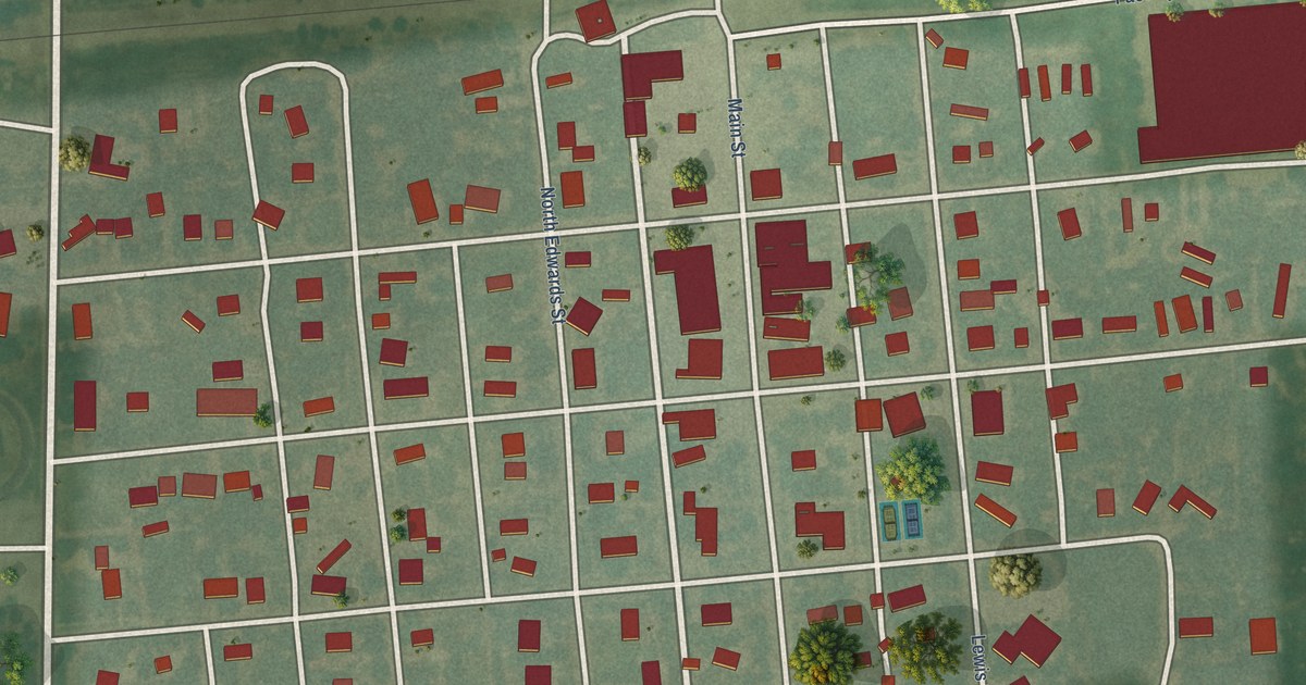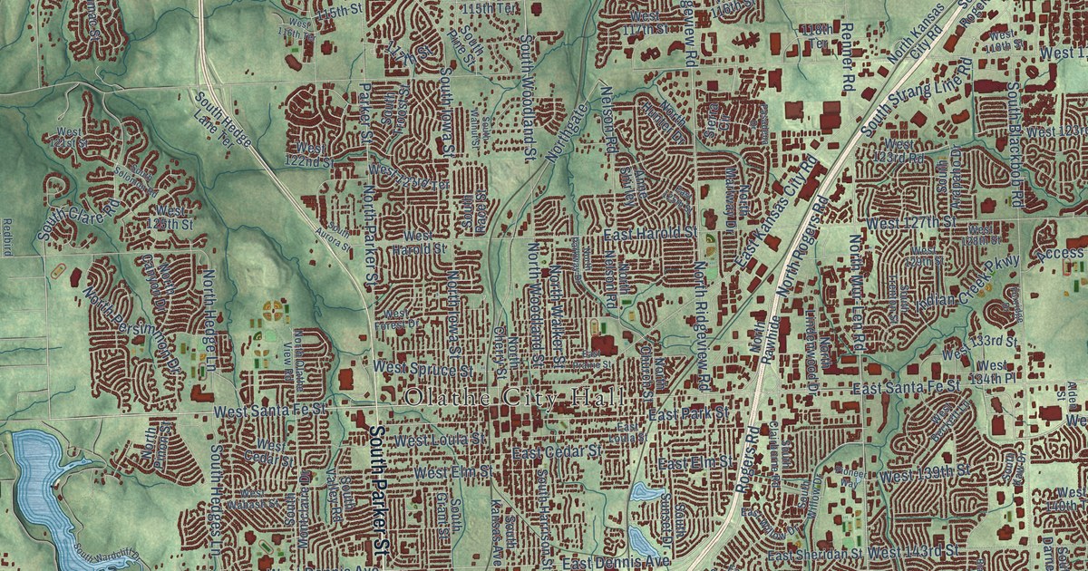
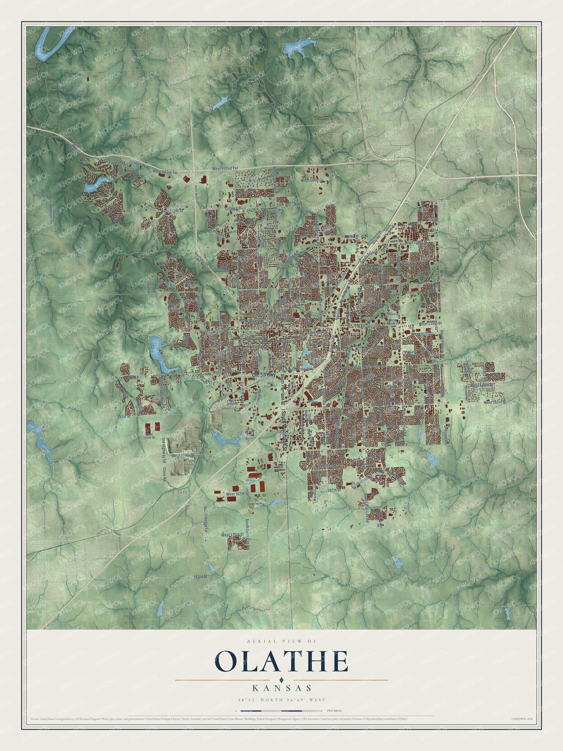
This beautifully detailed map of Olathe, Kansas was created in 2026 using aerial imagery combined with modern topographical, census, street and landmark data. It's a modern aerial view of Olathe in Johnson County, Kansas, that combines modern data with a vintage aesthetic. The roads feature printed names, and if you look closely you can find your exact house accurately shown in its correct location.
Explore an aerial view of Olathe, Kansas
On this map you'll find Olathe City Hall, Lone Elm Park, Clare, Old 56 Highway, South Parker Street, South Woodland Street, Old Highway 56, West Santa Fe Street, West 138th Street, East Park Street, East Dennis Avenue, South Ridgeview Road, and more. Each red shape is a building, so zoom in on the preview and look for yours.
Every town has a first chapter, and Olathe is no exception. The record at kancoll.org puts it this way: "Henderson Boggs built the Olathe House, ran it as a hotel for some time, and sold it to Thuma & Scott, who in turn sold it to Benjamin Dare."
Olathe is a city in Johnson County. The Census Bureau counted 141,290 people here in 2020.
Take a closer look at the Olathe map
Names on this map
These names are printed on this map.
Places: Olathe City Hall, Lone Elm Park and Clare.
Streets and roads: Old 56 Highway, South Parker Street, South Woodland Street, Old Highway 56, West Santa Fe Street, West 138th Street, East Park Street, East Dennis Avenue, South Ridgeview Road, South Lakeshore Drive, South Clare Road, North Ridgeview Road.
More street names, A to Z
111th Place, 115th Place, 115th Street, 117th Street, 118th Terrace, 148th Street, 151st Street, 151st Terrace, 160th Terrace, 167th Street, 183rd Street, Access Road, Alden Street, Anne Shirley, Apache Street, Brougham Drive, Clare Road, College Boulevard, East 125th Street, East 151st Street, East 153rd Street, East 153rd Terrace, East Cedar Street, East Elm Street, East Frontier Lane, East Harold Street, East Kansas City Road, East Loula Street, East Mohawk Drive, East Prairie Street, East Santa Fe Street, East Sheridan Bridge Lane, East Sheridan Street, East Sunvale Drive, East Willow Drive, Foxridge Drive, Gallery Street, Garmin Way, Greenwood Street, Indian Creek Parkway, Legler Road, Mahaffie Street, Nelson Road, North Canyon Drive, North Cherry Street, North Church Street, Northgate, North Hedge Lane, North Hunter Drive, North Iowa Street, North Kansas City Road, North Lindenwood Drive, North Martway Drive, North Mur-Len Road, North Nelson Road, North Olathe View Road, North Parker Street, North Parkway Drive, North Persimmon Drive, North Pinon Street, North Rawhide, North Rogers Road, North Walker Street, North Woodland Street, Parker Street, Pasadena Drive, Pflumm Road, Pioneer Way, Pittman Road, Quivira Road, Redbird Lane, Rene Street, Renner Road, Ridgeview Road, Rogers Road, Sierra Circle, South Alden Street, South Aminda Street, South Arapaho Drive, South Aurora Street, South Blackbob Road, South Blackfoot Drive, South Brougham Drive, South Caenen Lane, South Cedar Hills Drive, South Clairborne Road, South Cody Street, South Crestone Street, South Darnell Street, South Frontier Road, South Grant Street, South Greenwood Street, South Hagan Lane, South Hallet Street, South Hamilton Circle, South Harrison Street, South Hedge Lane, South Hedge Lane Terrace, South Hedges Lane, South Iowa Street, South Iverness Street, South Kansas Avenue, South Kaw Drive, South Keeler Street, South Lackman Road, South Legler Road, South Locust Street, South Lone Elm Road, South Mahaffie Street, South Marais Drive, South Montclaire Drive, South Monticello Terrace, South Moonlight Terrace, South Mullen Street, South Mur-Len Road, South Mur Len Road, South Omc Parkway, South Parkwood Street, South Payne Street, South Pflumm Road, South Pine Street, South Race Street, South Rene Street, South Renner Road, South Robinson Drive, South Rogers Road, South Rosehill Road, South Solomon Road, South Strang Line Road, South Sumac Street, South Summit Street, South Sunset Drive, South Sunset Street, South Trenton Street, South Troost Street, South Turnberry Street, South Valley Road, South Walnut Street, South Wardcliff Drive, South Warwick Street, South Widmer Street, South Willow Drive, Stagecoach Drive, Valley Parkway, West 95th Street, West 100th Terrace, West 102nd Terrace, West 103rd Street, West 103rd Terrace, West 105th Street, West 106th Street, West 107th Street, West 108th Street, West 110th Street, West 111th Street, West 111th Terrace, West 113th Terrace, West 114th Place, West 114th Street, West 115th Street, West 115th Terrace, West 116th Street, West 116th Terrace, West 117th Street, West 118th Street, West 119th Street, West 121st Street, West 122nd Street, West 123rd Road, West 123rd Street, West 123rd Terrace, West 125th Street, West 127th Street, West 128th Street, West 129th Street, West 130th Terrace, West 133rd Street, West 134th Place, West 135th Street, West 139th Street, West 140th Terrace, West 141st Street, West 143rd Street, West 143rd Terrace, West 145th Terrace, West 146th Street, West 146th Terrace, West 147th Street, West 148th Street, West 149th Street, West 149th Terrace, West 151st Street, West 151st Terrace, West 152nd Terrace, West 153rd Place, West 153rd Street, West 154th Terrace, West 155th Street, West 157th Street, West 158th Street, West 158th Terrace, West 159th Street, West 160th Street, West 160th Terrace, West 161st Street, West 161st Terrace, West 162nd Street, West 163rd Street, West 163rd Terrace, West 164th Street, West 165th Street, West 167th Street, West 168th Place, West 175th Street, West Beckett Lane, West Cedar Street, West Dennis Avenue, West Elm Street, West Forest Drive, West Frontier Lane, West Harold Street, West Loula Street, West Spruce Street, West Valley Parkway, West Wabash Street, Woodland Avenue, Woodland Road.
Created by KNOWOL in 2026. The buildings are small red shapes, the roads carry their printed names, and shaded relief shows the shape of the land. The title panel reads "AERIAL VIEW OF OLATHE KANSAS" with 38°53' NORTH 94°49' WEST.
Hang it in the hallway, the office or the cabin, or give it to someone who left Olathe and still calls it home. Open the preview and look for a street you know. See sizes and frames for the Olathe map.