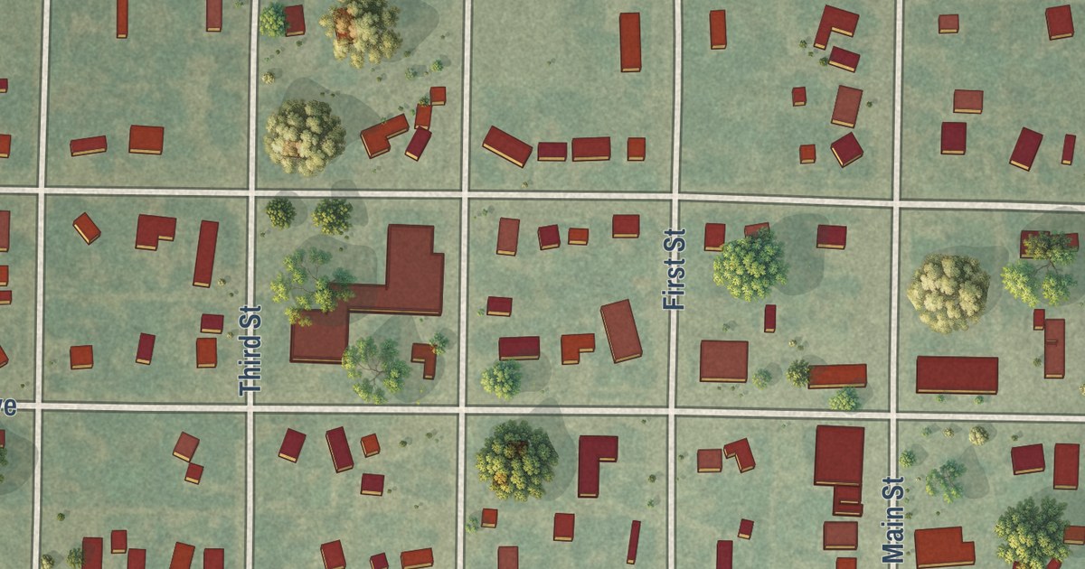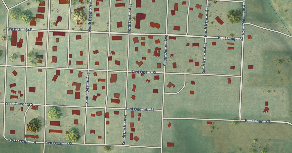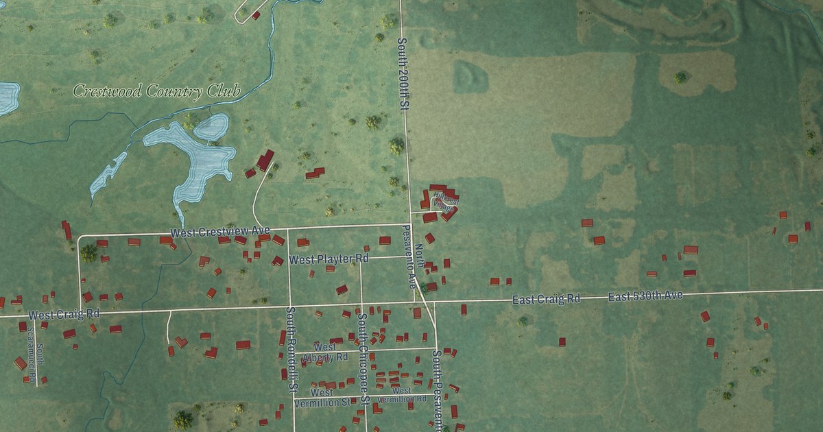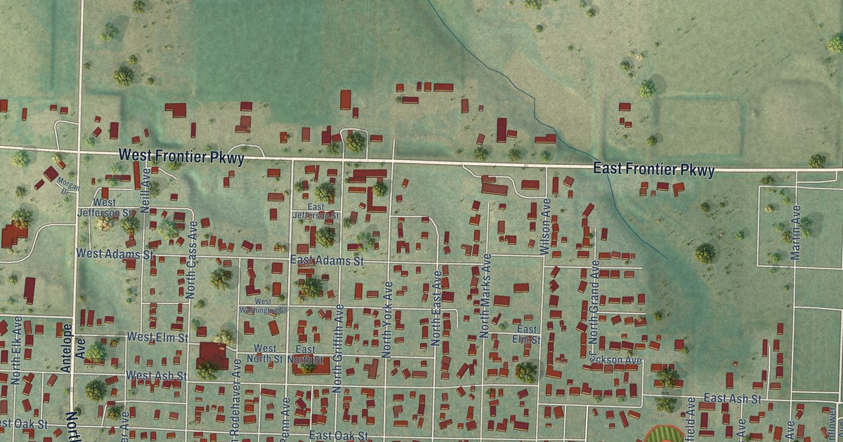
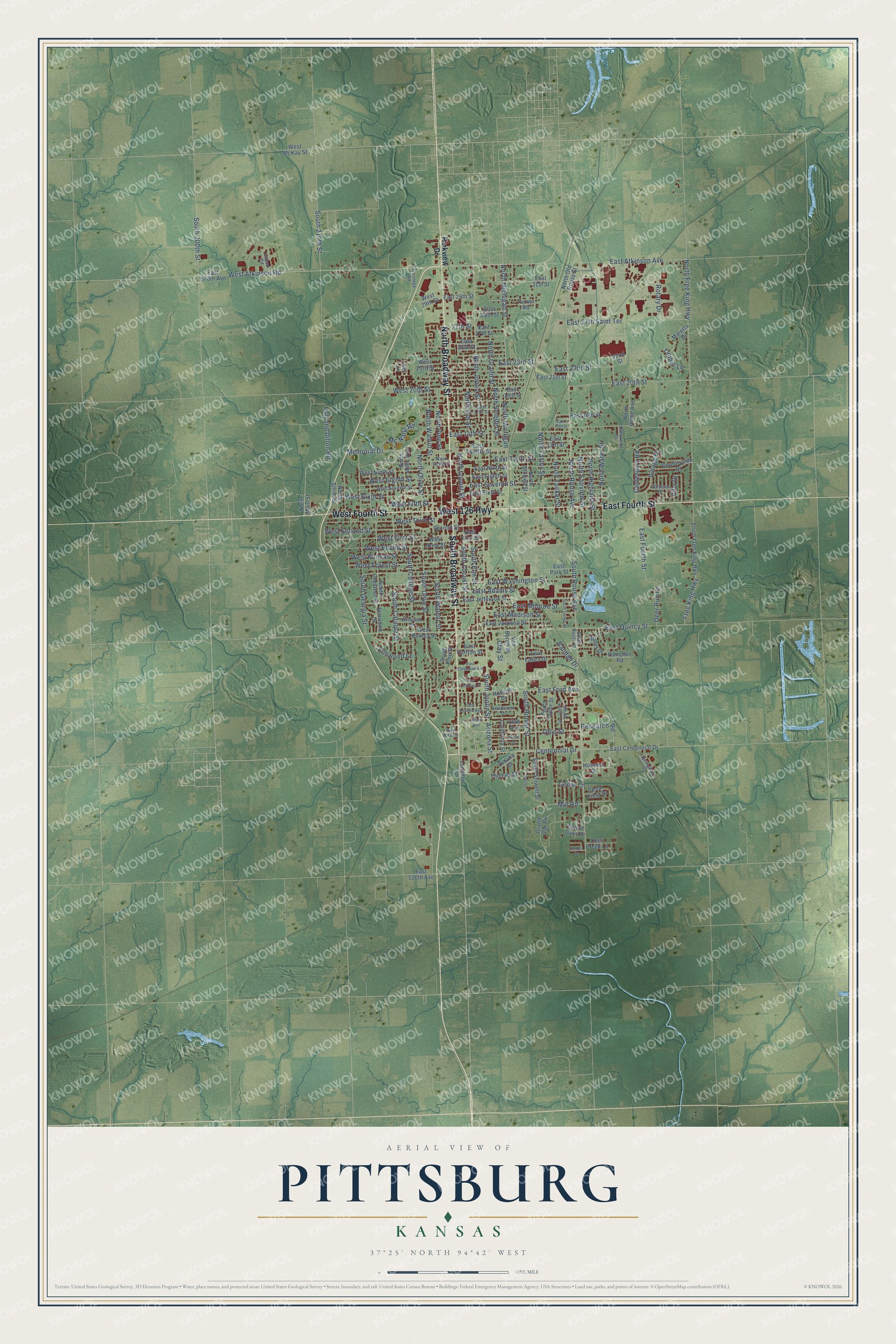
This beautifully detailed map of Pittsburg, Kansas was created in 2026 using aerial imagery combined with modern topographical, census, street and landmark data. It’s a one-of-a-kind view of Pittsburg that combines accurate data with a vintage aesthetic. The map shows every building in its true location, many of the roads carry their names, and the shaded topographic relief shows the shape of the land.
Explore an aerial view of Pittsburg, Kansas
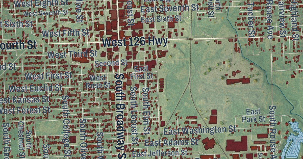
On the map you’ll find Wilderness Park, along with North Broadway Street, South Broadway Street, West 126 Highway, East Fourth Street, West Fourth Street, East Atkinson Avenue, Centennial Drive, West First Street, North Michigan Street, East First Street, North Rouse Avenue, and more. If you look closely you can even find your house accurately drawn in its correct location. Zoom in on the preview to look for yours.
Did you know this piece of Pittsburg, Kansas history?
From the Kansas Cyclopedia of State History: "Pittsburg was laid out in 1876 by Col. E. H. Brown for Moffett & Sargent. The postoffice was established that year with George Richey as postmaster."
Take a closer look at the Pittsburg map
Street names on the Pittsburg, Kansas map
These names are printed on the map of Pittsburg, Kansas.
Streets and roads: North Broadway Street, South Broadway Street, East Fourth Street, West 126 Highway, West Fourth Street, East Atkinson Avenue, South Joplin Street, West Atkinson Road, Centennial Drive, North Rouse Avenue, South Rouse Avenue, West First Street.
More street names, A to Z
22nd Street, 27th Street, Airport Road, Amber Drive, Arizona Street, Bitner Drive, California Street, Canterbury Road, Cedar Crest Drive, Cedar Lane, Clay Street, Countryside Drive, Deer Creek Lane, Deer Run Lane, East 13th Street, East 14th Street, East 15th Street, East 16th Street, East 17th Street, East 19th Street, East 20th Street, East 21st Street, East 22nd Street, East 23rd Street, East 25th Street, East 27th Saint Terrace, East 27th Street, East 28th Street, East 29th Street, East 31st Street, East 520th Avenue, East 570th Avenue, East Adams Street, East Carlton Street, East Centennial Drive, East Cleveland Avenue, East Eighth Street, East First Street, East Ford Avenue, East Hudson Avenue, East Jackson Street, East Jefferson Street, East Lindburg Street, East Madison Street, East Monroe Street, East Ninth Street, East Park Street, East Quincy Street, East Seventh Street, East Sixth Street, East Tenth Street, East Twelfth Street, East Washington Street, Elmwood Drive, Elmwood Lane, Fieldcrest Drive, Free King Highway, Frontage Road, Grand Oak Pk, Grand Oaks Drive, Hampton Road, Hobson Drive, Hospital Drive, Hull and Dillon Road, Iris Lane, Lakewood Drive, Langdon Lane, Maretta Drive, Mc Nally Road, Memorial Drive, Mill Road, Norris Drive, North Elm Street, North Fairview Street, North Free King Highway, North Grand Street, North Highland Street, North Home Avenue, North Joplin Street, North Locust Street, North Main Street, North Michigan, North Michigan Street, North Miles Avenue, North Old Rouse Street, North Olive Street, North Pine Street, North Smelter Street, North Smith Street, North Stilwell Street, North Taylor Street, North Tucker Street, North Walnut Street, North Water Street, Ohio Street, Omaha Street, Parkview Drive, Randall Drive, Research Road, Rotary Drive, Second Street, South 200th Street, South 210th Street, South Catalpa Street, South Chestnut Street, South College Street, South Elm Street, South Free King Highway, South Georgia Street, South Homer Street, South Locust Street, South Olive Street, South Pine Street, South Rouse Street, South Stilwell Street, South Taylor Street, South Tucker Street, South Tucker Terrace, South Walnut Street, Springdale Street, Thomas, Thomas Street, Timber Lane, Turner Road, Twin Lakes Drive, Union Avenue, Utah Avenue, Van Buren Street, Villa Drive, Village Drive, West 20th Street, West 23rd Street, West 29th Street, West Eighth Street, West Euclid Street, West Fifth Street, West Forest Street, West Kansas Street, West McKay Street, West Mead Street, West Ninth Street, West Quincy Street, West Rose Street, West Second Street, West Seventh Street, West Sixth Street, West Tenth Street, West Third Street, Windsor Drive, Winwood Drive.
See the Pittsburg, Kansas map on a wall
The Pittsburg map as an 18 x 24 inch print in a black frame.

This beautifully detailed map of Pittsburg makes an attractive addition to your office, library, or den, and it can even be used to teach children the geography and history of the area. It also makes a great gift for someone who left Pittsburg and still calls it home. When you’re done exploring, click here to get your copy of the Pittsburg map.