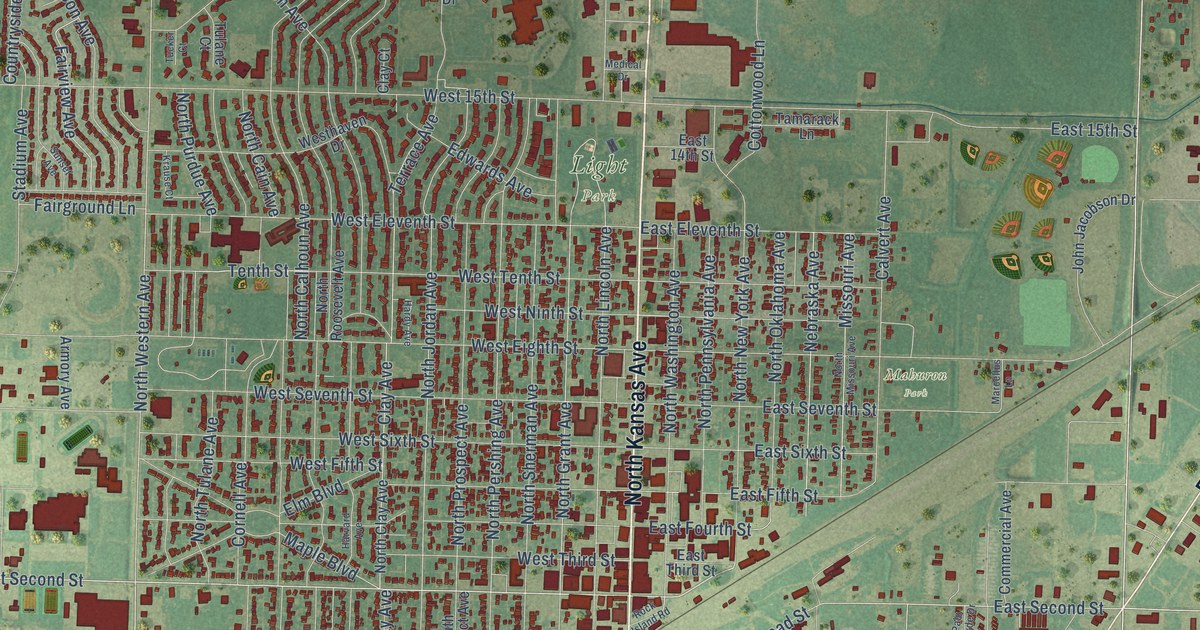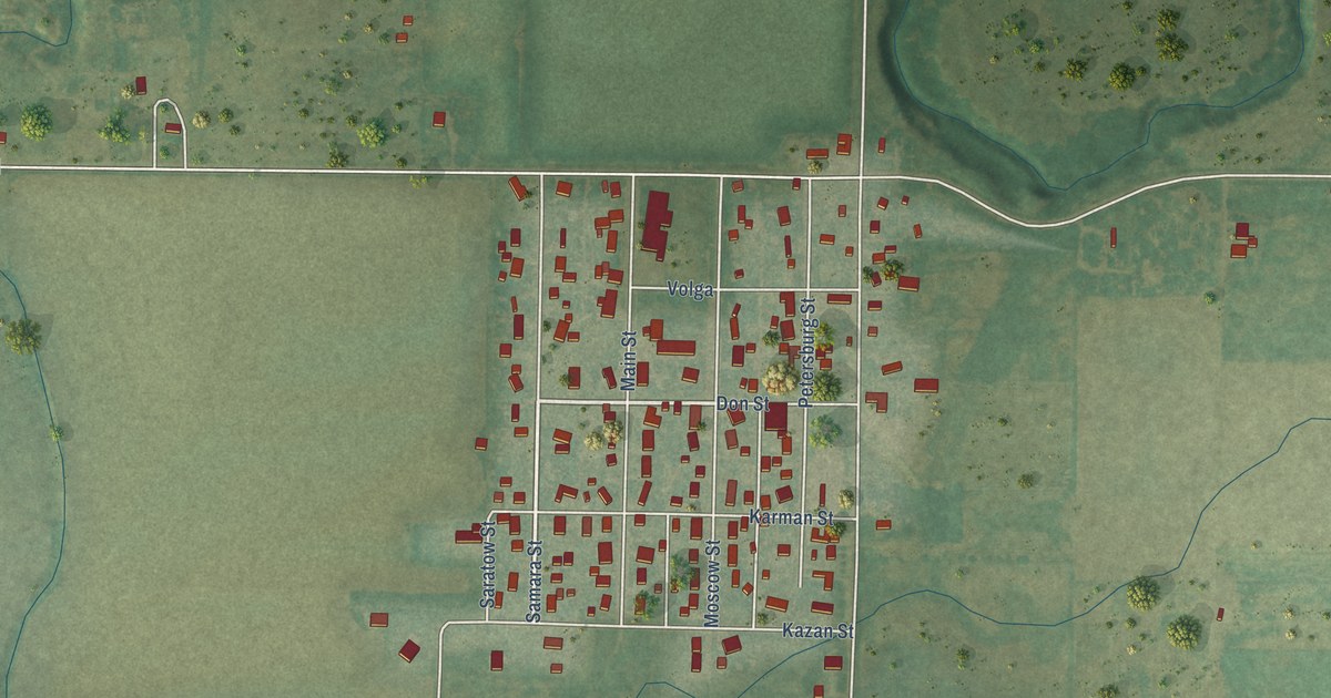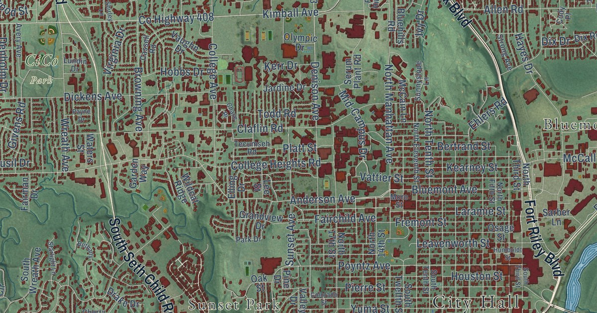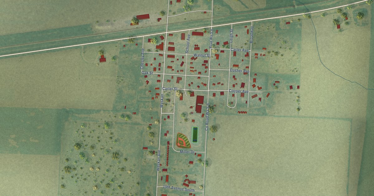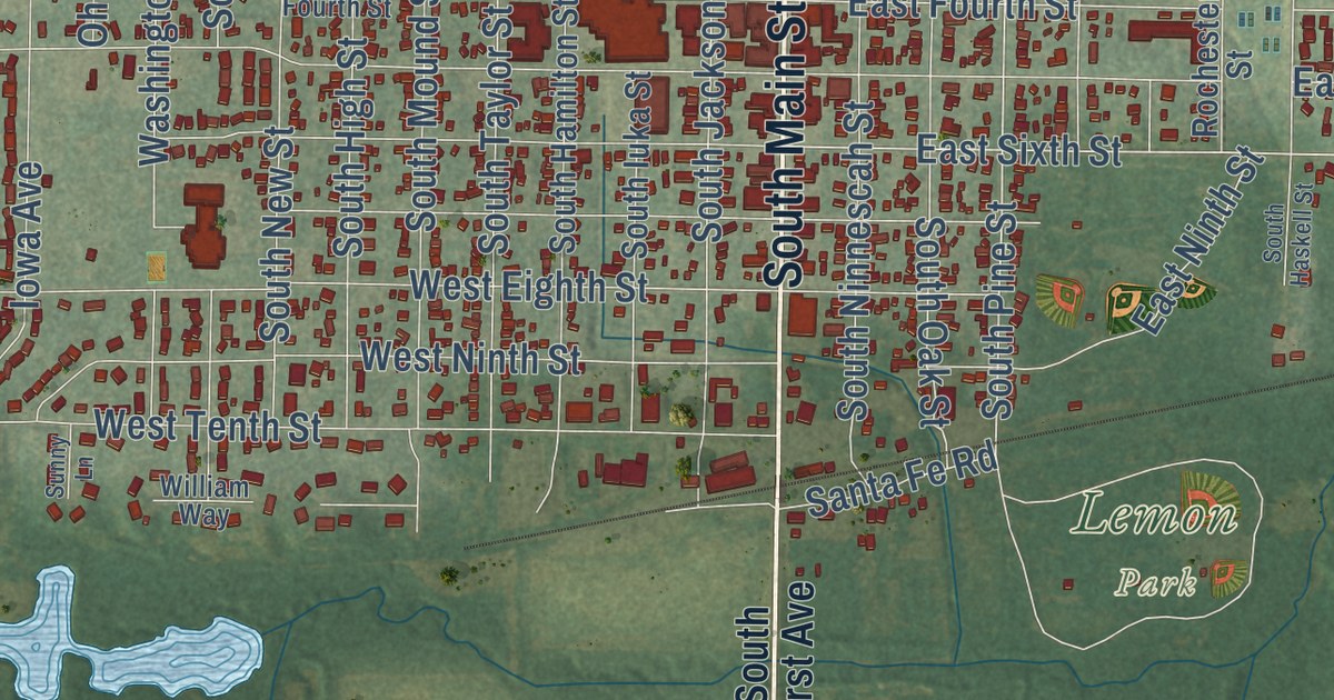
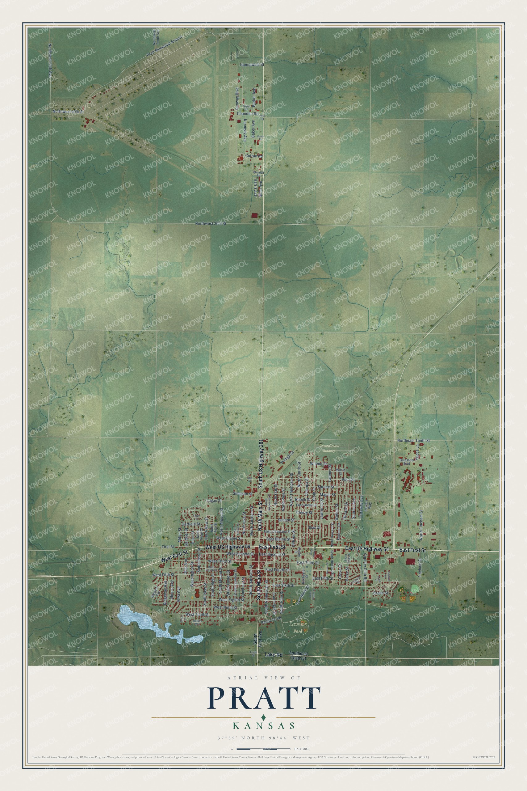
This beautifully detailed map of Pratt, Kansas was created in 2026 using aerial imagery combined with modern topographical, census, street and landmark data. It’s a one-of-a-kind view of Pratt that combines accurate data with a vintage aesthetic. The map shows every building in its true location, many of the roads carry their names, and the shaded topographic relief shows the shape of the land.
Explore an aerial view of Pratt, Kansas
On the map you’ll find Greenlawn Cemetery and Lemon Park, along with East First Street, South Main Street, South US Highway 281, East US Highway 54, West First Street, West US Highway 54, North Main Street, Lake Road, Parkway Avenue, Holly Street, and more. If you look closely you can even find your house accurately drawn in its correct location. Zoom in on the preview to look for yours.
Did you know this piece of Pratt, Kansas history?
From the Kansas Cyclopedia of State History: "Pratt was founded in 1884 and the next year began the long contest for county seat, in which it finally won. In 1886, when the county seat fight was at its height, the town had already gained a population of 1,000."
Take a closer look at the Pratt map
Street and place names on the Pratt, Kansas map
These names are printed on the map of Pratt, Kansas.
Places: Greenlawn Cemetery, Lemon Park and Pratt Municipal Airport.
Streets and roads: East First Street, South Main Street, South US Highway 281, East US Highway 54, West First Street, West US Highway 54, North Main Street, Lake Road, Parkway Avenue, Holly Street, School Street, North Oak Street.
More street names, A to Z
Austin Street, Baker Avenue, Barker Avenue, Beech Street, Belmont Road, Blondell Road, Bluestem Boulevard, Champa Street, Chandler Road, Cherry Street, Country Club Road, Curran Road, East Blaine Street, East Cleveland Street, East Fifth Street, East Fourth Street, East Green Street, Eastland Avenue, East Ninth Street, East Second Street, East Sixth Street, East Third Street, Fincham Street, First Street, Flint Road, Gardner Street, Garfield Street, Green Court, Green Street, Grove Street, Hannawald Street, Harris Avenue, Hillside Street, Illinois Avenue, Iowa Avenue, Iuka Street, Karns Road, Kennedy Avenue, Larimer Street, Lawrence Street, Logan Street, Maple Street, Miller Street, Myrtle Street, North Curtis Street, Northeast Tenth Street, North Fincham Street, North Hamilton Street, North High Street, North Howard Street, North Iuka Street, North Jackson Street, North Mound Street, North New Street, North Ninnescah Street, North Pearl Street, North Pine Street, North Thompson Street, Northwest 20th Avenue, Northwest 30th Street, Northwest 40th Street, Northwest Tenth Avenue, Ohio Avenue, Parke Street, Parklane Street, Pedigo Drive, Peltiers Way, Ridgeway Avenue, Rochester Street, Runway Boulevard, Santa Fe Road, Shaw Street, Sillin Avenue, Simpson Street, Southeast Tenth Street, South First Avenue, South Hamilton Street, South Haskell Street, South Haskel Street, South High Street, South Howard Street, South Iuka Street, South Jackson Street, South Mound Street, South New Street, South Ninnescah Street, South Oak Street, South Parke Street, South Pearl Street, South Pine Street, South Taylor Street, Spruce Street, Starr Court, Starr Street, Stout Street, Sunny Lane, Sunrise Avenue, Taylor Road, Tenth Street, Terrace Drive, Walnut Street, Washington Street, Watson Street, Welton Street, West Blaine Street, West Eighth Street, Western Avenue, West Fifth Street, West Fourth Street, West Ninth Street, West Second Street, West Tenth Street, West Third Street, William Way, Yucca Lane.
See the Pratt, Kansas map on a wall
The Pratt map as an 18 x 24 inch print in a black frame.

This beautifully detailed map of Pratt makes an attractive addition to your office, library, or den, and it can even be used to teach children the geography and history of the area. It also makes a great gift for anyone with Pratt roots. When you’re done exploring, click here to get your copy of the Pratt map.