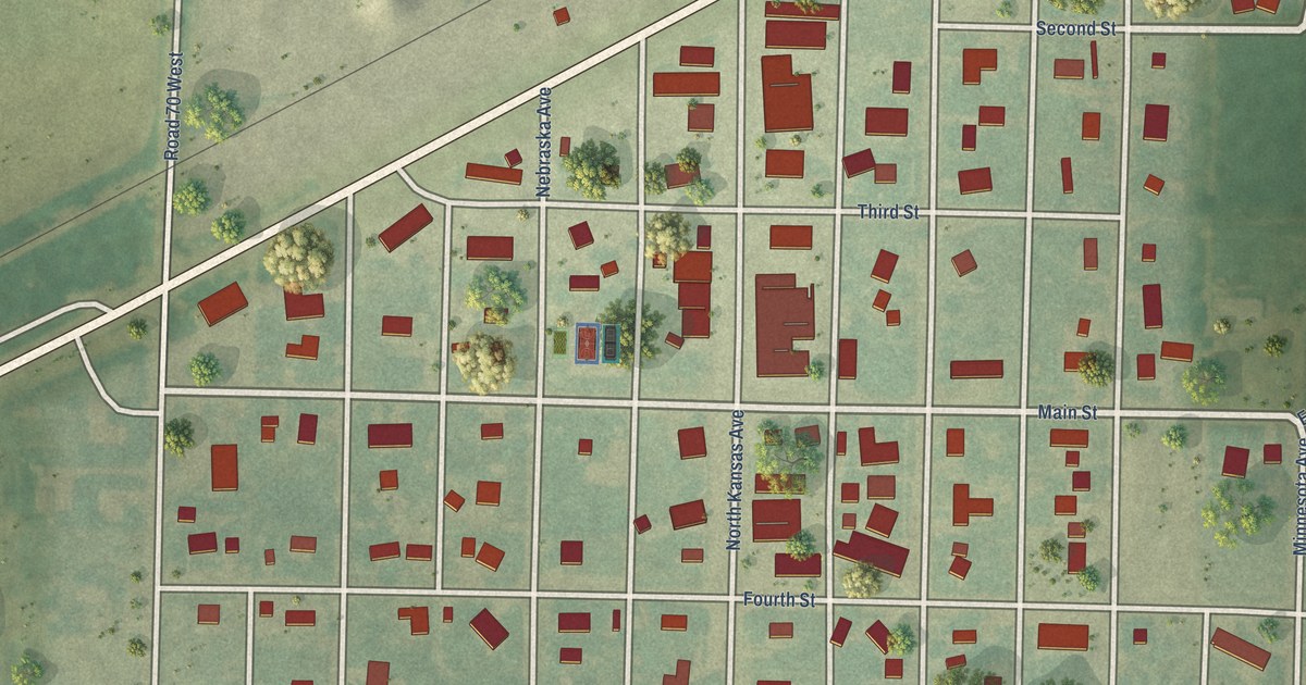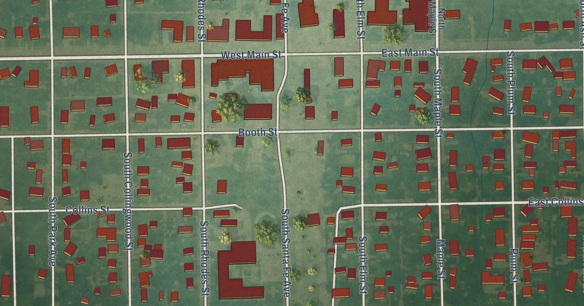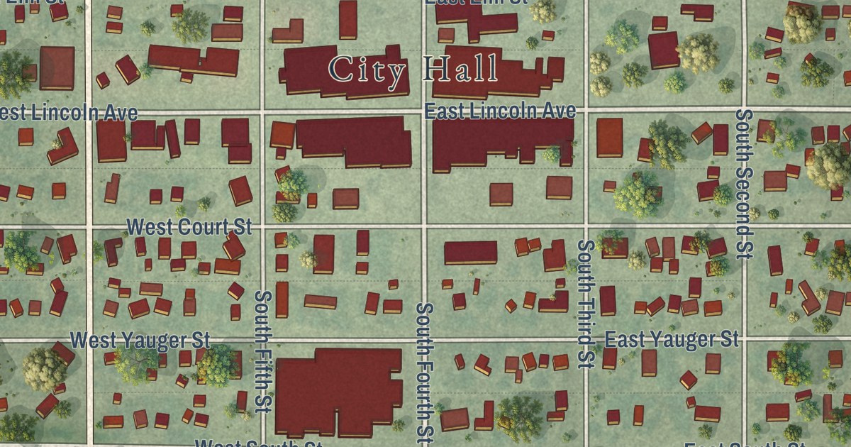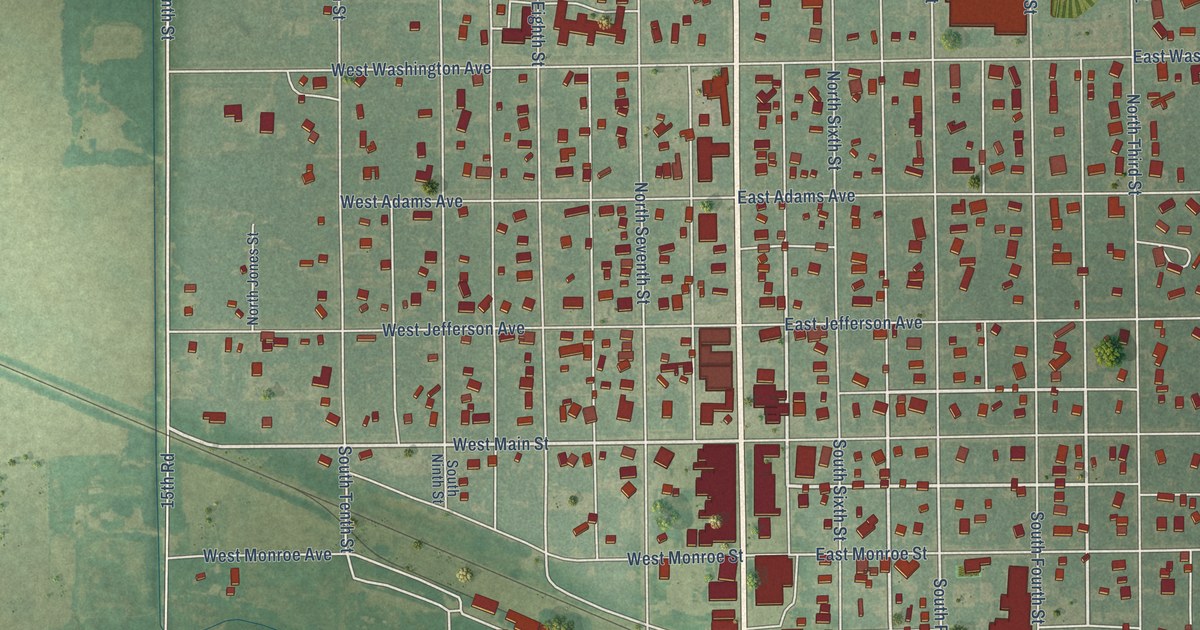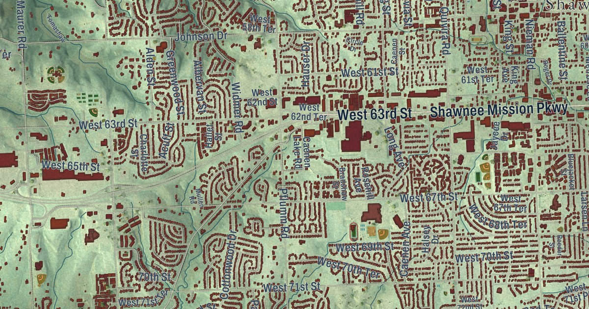
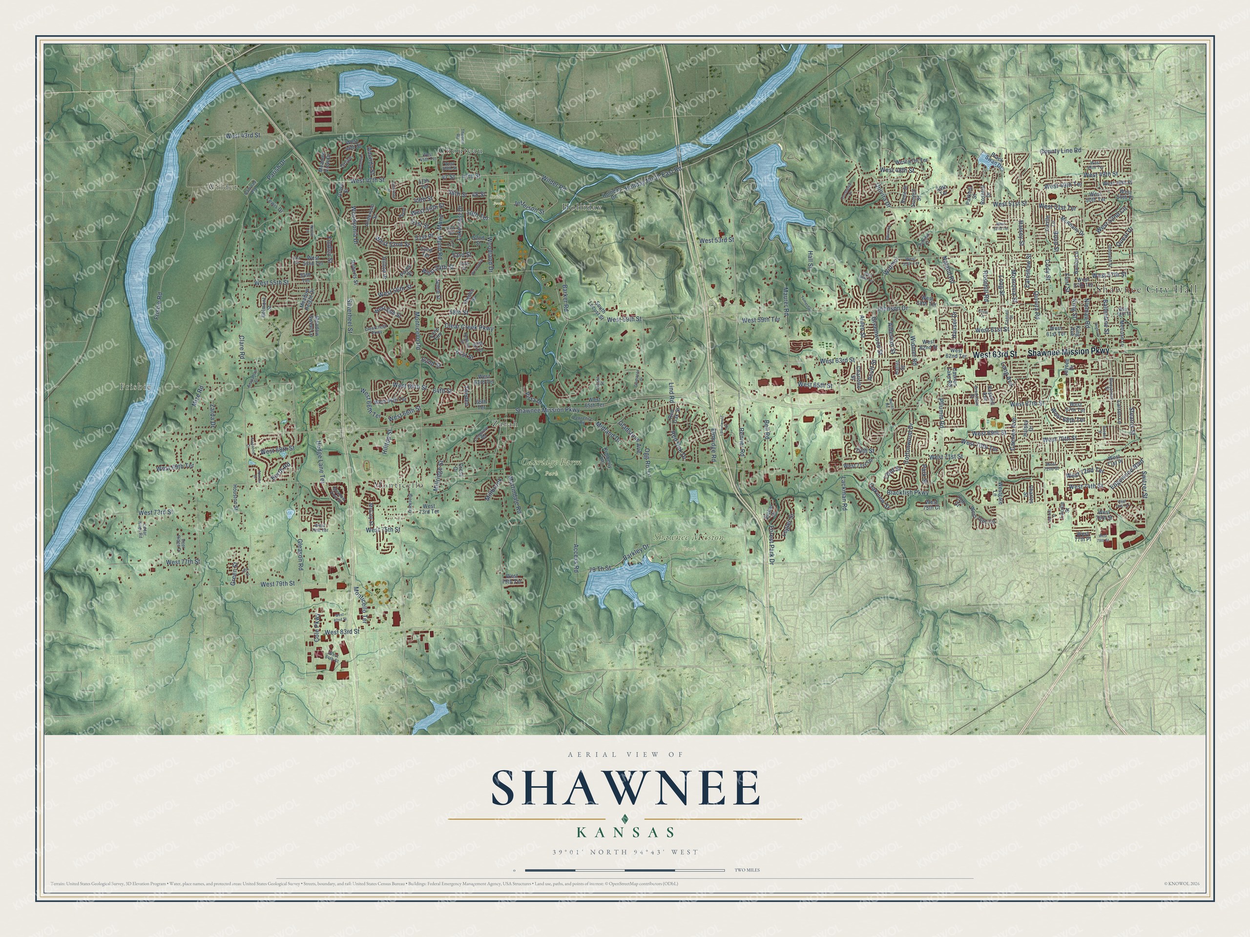
This beautifully detailed map of Shawnee, Kansas was created in 2026 using aerial imagery combined with modern topographical, census, street and landmark data. It’s a one-of-a-kind view of Shawnee that combines accurate data with a vintage aesthetic. The map shows every building in its true location, many of the roads carry their names, and the shaded topographic relief shows the shape of the land.
Explore an aerial view of Shawnee, Kansas
On the map you’ll find Shawnee City Hall, Frisbie, Wilder, Oakridge Farm Park, Shawnee Mission Park, Stump Park, Chouteau, Holliday, Monticello, and Zarah, along with Shawnee Mission Parkway, West 63rd Street, and more. If you look closely you can even find your house accurately drawn in its correct location. Zoom in on the preview to look for yours.
Did you know this piece of Shawnee, Kansas history?
From Kancoll.org: "A church was built many years previous to the location of the town, called the Shawnee Indian Methodist Episcopal Church (South)."
Take a closer look at the Shawnee map
Street and place names on the Shawnee, Kansas map
These names are printed on the map of Shawnee, Kansas.
Places: Shawnee City Hall, Frisbie, Wilder, Oakridge Farm Park, Shawnee Mission Park, Stump Park, Monticello, Holliday, Chouteau and Zarah.
Streets and roads: Shawnee Mission Parkway, West 63rd Street, West 47th Street, Renner Road, West 51st Street, Lakecrest Drive, Clear Creek Parkway, County Line Road, 51st Street, 61st Street, 47th Street, Flint Street.
More street names, A to Z
47 Street, 47th Terrace, 48 Street, 48th Street, 49th Street, 49th Terrace, 50th Terrace, 51st Court, 51st Place, 51st Terrace, 52nd Street, 52nd Terrace, 53rd Street, 53rd Terrace, 54th Street, 54th Terrace, 58th Street, 60th Terrace, 62nd Street, 64th Street, 65th Terrace, 70th Street, 72nd Street, 75th Court, 78th Street, 79 Th Street, Access Road, Acuff Street, Albervan, Albervan Street, Alden Street, Aminda Street, Anderson, Anderson Street, Apache Drive, Arapahoe Drive, Arapahoe Street, Ballentine Street, Barker Road, Barkley Drive, Barth Road, Barton Lane, Bell Road, Belmont Street, Blackfish Parkway, Black Swan Drive, Bluejacket Street, Bond Street, Bradshaw Street, Brockway, Caenen Avenue, Caenen Lake Road, Caenen Street, Cedar Niles Road, Charles Street, Charlotte Street, Chouteau Street, Circle Drive, Clare Road, Clearcreek Parkway, Cody Street, Cole Parkway, Constance Street, Cottonwood Drive, Crest Drive, Deer Ridge Drive, Earnshaw Street, Edgewood Boulevard, Eicher Drive, Elmridge Road, Extension, Findley Street, Forest Park Drive, Frisbie Road, Garnett Street, Gladstone Avenue, Gladstone Drive, Gleason Road, Goddard Street, Green Street, Greenwood Street, Grove, Grove Street, Hallet Street, Hall Street, Halsey Drive, Halsey Street, Hauser Drive, Hedge Lane Terrace, Hilltop Drive, Hilltop Street, Holiday North East Road, Holliday Drive, Houston Street, Jaycee Drive, Jefferson Street, Johnson Drive, Kenton Street, Kimberly Lane, King Avenue, King Street, Lackman Road, Larsen Lane, Laurelwood Street, Lawrence Road, Legler Street, Lewis Drive, Lind Road, Locust Street, Lone Elm, Long Avenue, Long Street, Longview Road, Lucille Lane, Lucille Street, Martindale Road, Maurer Road, McAnany Drive, McCoy Street, Meadow Height Drive, Meadow Sweet Lane, Meadow View Drive, Meadow View Street, Melrose Lane, Midland Drive, Millbrook, Millridge Street, Mize Road, Monrovia Street, Monticello Road, Monticello Terrace, Mullen Road, Mund, Mund Road, Nieman Road, Noble Street, Noland Road, Oakview Street, Ogg Road, Parish Drive, Parkhill Street, Park Street, Payne, Payne Street, Pflumm Road, Queal Drive, Quivira Drive, Quivira Road, Railroad Avenue, Redbud Street, Red Oak Drive, Red Oak Street, Reeder Street, Rene Street, Roberts Street, Roger Drive, Rosehill Avenue, Rosehill Drive, Rosehill Road, Silverheel Street, South Locust Street, Stearns Street, Summit Court, Summit Street, Switzer Street, Theden, Theden Road, Theden Street, Tomashaw, Vista Drive, West 43rd Street, West 44th Street, West 45th Terrace, West 46th Street, West 47th Terrace, West 48th Street, West 48th Terrace, West 49th Place, West 49th Street, West 49th Terrace, West 50th Place, West 50th Street, West 50th Terrace, West 51st Terrace, West 52nd Circle, West 52nd Street, West 52nd Terrace, West 53rd Street, West 53rd Terrace, West 54th Street, West 55th Street, West 55th Terrace, West 56th Street, West 56th Terrace, West 57th Street, West 57th Terrace, West 58th Street, West 58th Terrace, West 59th Street, West 59th Terrace, West 60th Street, West 61st Street, West 61st Terrace, West 62nd Street, West 62nd Terrace, West 63rd Terrace, West 64th Street, West 64th Terrace, West 65th Street, West 65th Terrace, West 66th Street, West 66th Terrace, West 67th Street, West 67th Terrace, West 68th Street, West 68th Terrace, West 69th Street, West 69th Terrace, West 70th Street, West 70th Terrace, West 71st Place, West 71st Street, West 71st Terrace, West 72nd Street, West 72nd Terrace, West 73rd Street, West 73rd Terrace, West 74th Street, West 74th Terrace, West 75th Court, West 75th Street, West 75th Terrace, West 76th Street, West 76th Terrace, West 77th Place, West 77th Street, West 78th Street, West 79th Street, West 79th Terrace, West 82nd Street, West 83rd Street, West 84th Street, Westgate Lane, Widmer, Widmer Road, Wilder Road, Woodland Drive, Woodsonia Drive, Woodstock, Zarda Drive.
See the Shawnee, Kansas map on a wall
The Shawnee map as an 18 x 24 inch print in a black frame.

This beautifully detailed map of Shawnee makes an attractive addition to your office, library, or den, and it can even be used to teach children the geography and history of the area. It also makes a great gift for someone who left Shawnee and still calls it home. When you’re done exploring, click here to get your copy of the Shawnee map.