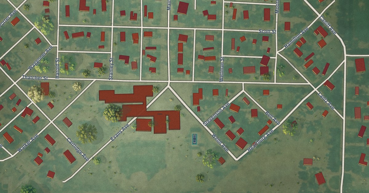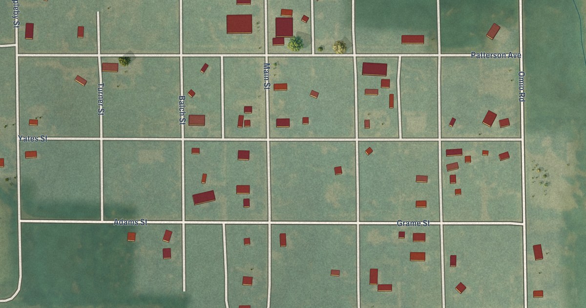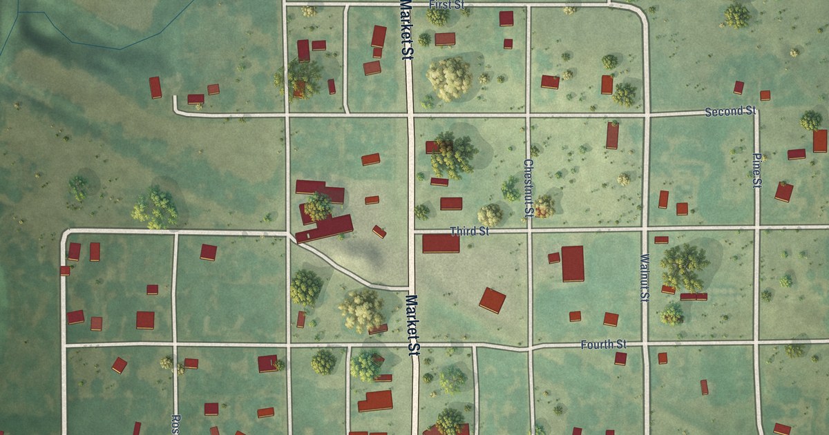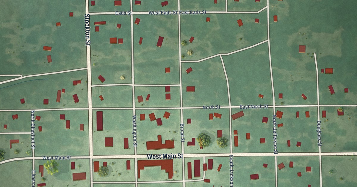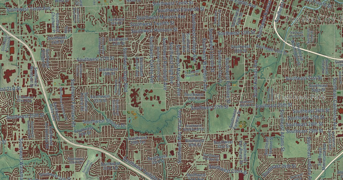
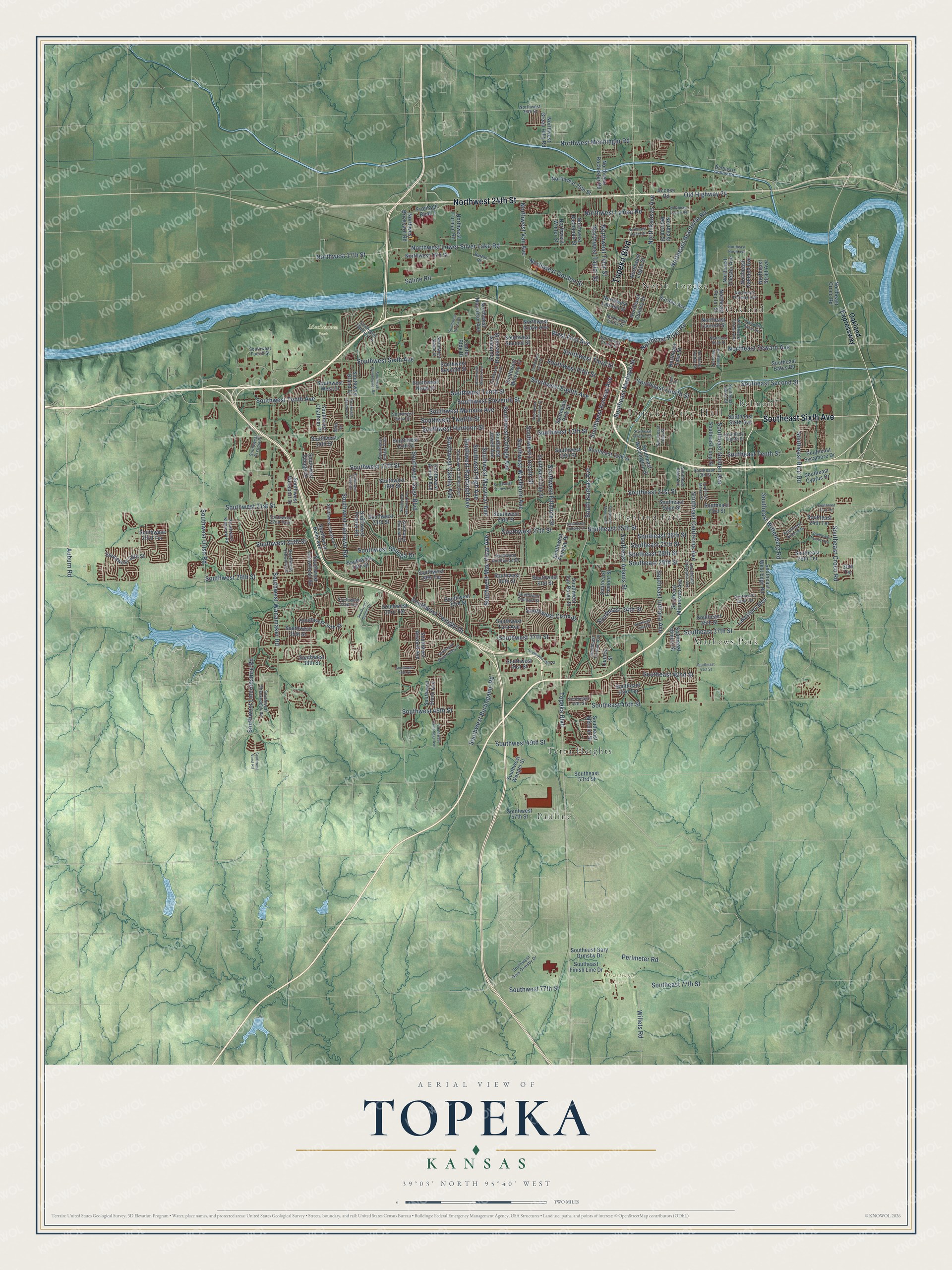
This beautifully detailed map of Topeka, Kansas was created in 2026 using aerial imagery combined with modern topographical, census, street and landmark data. It’s a one-of-a-kind view of Topeka that combines accurate data with a vintage aesthetic. The map shows every building in its true location, many of the roads carry their names, and the shaded topographic relief shows the shape of the land.
Explore an aerial view of Topeka, Kansas
On the map you’ll find Topeka City Hall, Gage Park, Heartland Park, MacLennan Park, Belmont, Highland Park, Mathews Park, North Topeka, Oakland, Pauline, and Terra Heights, along with Southeast Sixth Avenue, and more. If you look closely you can even find your house accurately drawn in its correct location. Zoom in on the preview to look for yours.
Did you know this piece of Topeka, Kansas history?
From the Kansas Cyclopedia of State History: "Topeka was founded in 1854 by Col. Cyrus K. Holliday, F. W. Giles, Daniel H. Horne, George Davis, Enoch Chase, J. B. Chase, M. C. Dickey, C. Robinson and L. G. Cleveland. The site was selected by Holliday and Robinson as representatives of the New England Emigrant society in October."
Take a closer look at the Topeka map
Street and place names on the Topeka, Kansas map
These names are printed on the map of Topeka, Kansas.
Places: Topeka City Hall, Gage Park, Heartland Park, MacLennan Park, Belmont, Highland Park, Mathews Park, North Topeka, Oakland, Pauline, Terra Heights and Southwest 22nd Park.
Streets and roads: Southeast Sixth Avenue, Topeka Boulevard, Northwest 24th Street, Southwest 17th Street, Southeast 45th Street, North Kansas Avenue, Southwest Urish Road, West First Avenue, Perimeter Road, Northeast River Road, Southwest Kansas Avenue, Northwest Taylor Street.
More street names, A to Z
30th Terrace, Access Road, Auburn Road, Belle Terrace, Button Road, Center Bldg Drive, Frontage Road 1, Lakeshore Boulevard, Lime Street, Northeast Chester Avenue, Northeast Collier Road, Northeast Croco Road, Northeast Doran Avenue, Northeast Forest Avenue, Northeast Grantville Road, Northeast Grattan Street, Northeast Lake Street, Northeast Laurent Street, Northeast Lyman Road, Northeast Monroe Street, Northeast North Avenue, Northeast Oakland Avenue, Northeast Poplar Street, Northeast Quincy Street, Northeast Seward Avenue, Northeast State Street, Northeast Strait Avenue, Northeast Sumner Street, Northeast Thomas Avenue, Northwest 16th Street, Northwest 17th Street, Northwest 25th Street, Northwest 35th Street, Northwest Brickyard Road, Northwest Buchanan Street, Northwest Crane Street, Northwest Curtis Street, Northwest Furman Road, Northwest Gordon Street, Northwest Green Hills Road, Northwest Grove Avenue, Northwest Laurent Street, Northwest Logan Street, Northwest Lower Silver Lake Road, Northwest Lyman Road, Northwest Macvictor Avenue, Northwest Menninger Road, Northwest Rochester Road, Northwest Studer Street, Northwest Tyler Street, Northwest Vail Avenue, Northwest Winter Street, Oakland Expressway, Old Highway 24, Quincy Street, Saline Road, Sardou Avenue, Southeast 13th Street, Southeast 15th Street, Southeast 21st Street, Southeast 23rd Street, Southeast 23rd Terrace, Southeast 24th Terrace, Southeast 25th Street, Southeast 26th Street, Southeast 27th Street, Southeast 28th Street, Southeast 28th Terrace, Southeast 29th Street, Southeast 33rd Terrace, Southeast 34th Street, Southeast 35th Street, Southeast 36th Street, Southeast 37th Street, Southeast 41st Street, Southeast 42nd Street, Southeast 43rd Terrace, Southeast 44th Street, Southeast 53rd Street, Southeast 77th Street, Southeast Adams Street, Southeast Alkire Street, Southeast Aries Avenue, Southeast Bates Road, Southeast California Avenue, Southeast Colorado Avenue, Southeast Croco Road, Southeast Cyprus Drive, Southeast Eighth Street, Southeast Finish Line Drive, Southeast Fourth Street, Southeast Fremont Street, Southeast Gary Ormsby Drive, Southeast Golden Avenue, Southeast Illinois Street, Southeast Indiana Avenue, Southeast Iowa Avenue, Southeast Lime Street, Southeast Long Street, Southeast Madison Street, Southeast Market Street, Southeast Mercier Street, Southeast Minnesota Avenue, Southeast Monroe Street, Southeast Overton Street, Southeast Rice Road, Southeast Sage Street, Southeast Second Street, Southeast Sycamore Drive, Southeast Taurus Avenue, Southeast Tenth Street, Southeast Truman Avenue, Southeast Washington Street, Southeast West Edge Road, Southeast Wittenberg Road, South Kansas Avenue, Southwest 13th Street, Southwest 14th Street, Southwest 15th Street, Southwest 16th Street, Southwest 19th Street, Southwest 21st Street, Southwest 23rd Street, Southwest 23rd Terrace, Southwest 24th Street, Southwest 25th Street, Southwest 26th Street, Southwest 27th Street, Southwest 28th Street, Southwest 29th Street, Southwest 29th Terrace, Southwest 30th Street, Southwest 31st Street, Southwest 32nd Terrace, Southwest 33rd Street, Southwest 33rd Terrace, Southwest 34th Street, Southwest 35th Street, Southwest 37th Street, Southwest 38th Street, Southwest 39th Street, Southwest 40th Street, Southwest 41st Street, Southwest 45th Street, Southwest 49th Street, Southwest 57th Street, Southwest 77th Street, Southwest Arnold Avenue, Southwest Arrowhead Road, Southwest Arvonia Place, Southwest Ashworth Place, Southwest Atwood Avenue, Southwest Belle Avenue, Southwest Buchanan Street, Southwest Burlingame Road, Southwest Cambridge Avenue, Southwest Chatham Place, Southwest Chelsea Drive, Southwest Clay Street, Southwest Clontarf Street, Southwest College Avenue, Southwest Collins Avenue, Southwest Crest Drive, Southwest Croix Street, Southwest Danbury Lane, Southwest Duncan Drive, Southwest Durow Road, Southwest Eighth Avenue, Southwest Eleventh Street, Southwest Fairlawn Road, Southwest Fairway Drive, Southwest Fifth Street, Southwest Fillmore Street, Southwest Fourth Street, Southwest Gage Boulevard, Southwest Gary Ormsby Drive, Southwest Grand Court, Southwest High Avenue, Southwest Hillside Drive, Southwest Huntoon Street, Southwest Indian Trail, Southwest Jewell Avenue, Southwest Kanza Drive, Southwest Kingsrow Road, Southwest Knollwood Drive, Southwest Lane Street, Southwest Lincolnshire Road, Southwest Lincoln Street, Southwest Macvicar Avenue, Southwest Mac Vicar Avenue, Southwest Meadow Lane, Southwest Mulvane Street, Southwest Munson Avenue, Southwest Ninth Street, Southwest Oakley Avenue, Southwest Polk Street, Southwest Prairie Road, Southwest Randolph Avenue, Southwest Roosevelt Street, Southwest Saline Street, Southwest Scenic Drive, Southwest Seabrook Avenue, Southwest Second Street, Southwest Sena Drive, Southwest Seventh Street, Southwest Shenandoah Road, Southwest Shunga Drive, Southwest Sixth Avenue, Southwest Stone Avenue, Southwest Summit Avenue, Southwest Tara Avenue, Southwest Tenth Avenue, Southwest Tenth Street, Southwest Third Street, Southwest Twelfth Street, Southwest Twilight Drive, Southwest Van Buren Street, Southwest Village Drive, Southwest Vorst Road, Southwest Wanamaker Road, Southwest Washburn Avenue, Southwest Wayne Avenue, Southwest Wenger Street, Southwest Westchester Road, Southwest West Drive, Southwest Westport Drive, Southwest Wood Valley Drive, Willets Road.
See the Topeka, Kansas map on a wall
The Topeka map as an 18 x 24 inch print in a black frame.

This beautifully detailed map of Topeka makes an attractive addition to your office, library, or den, and it can even be used to teach children the geography and history of the area. It also makes a great gift for someone who left Topeka and still calls it home. When you’re done exploring, click here to get your copy of the Topeka map.