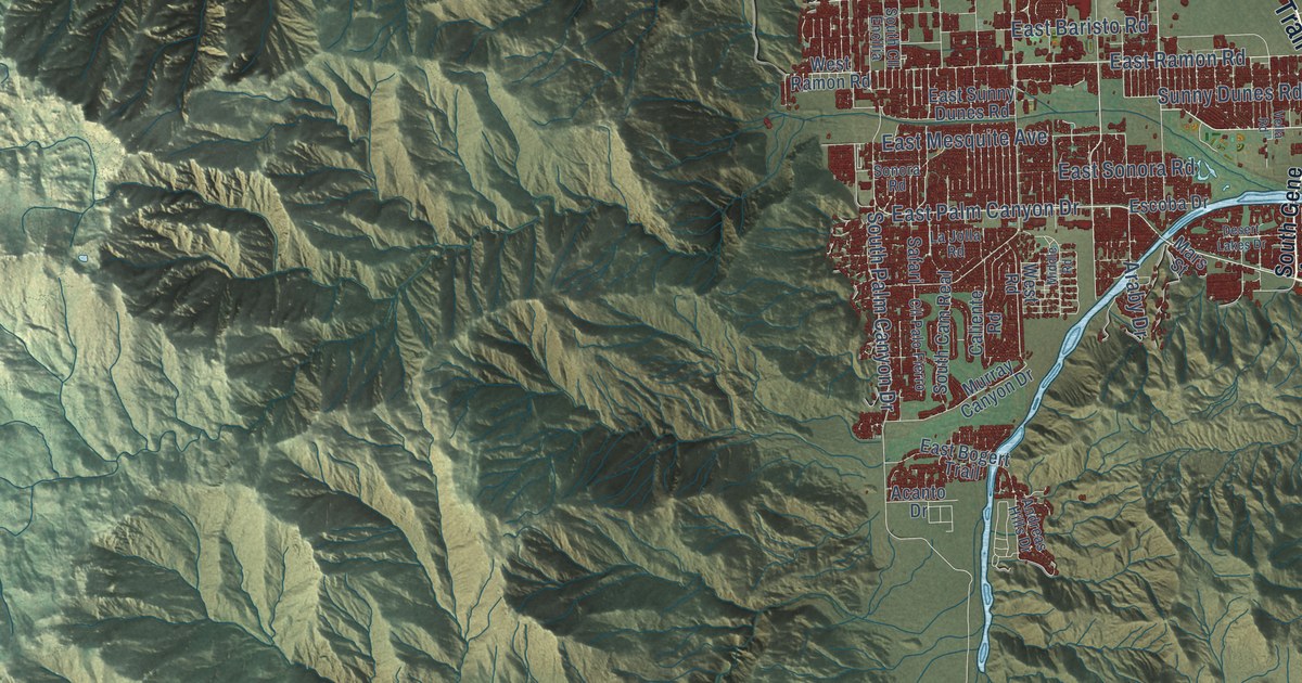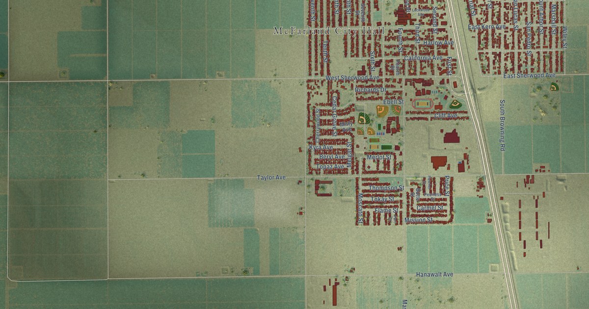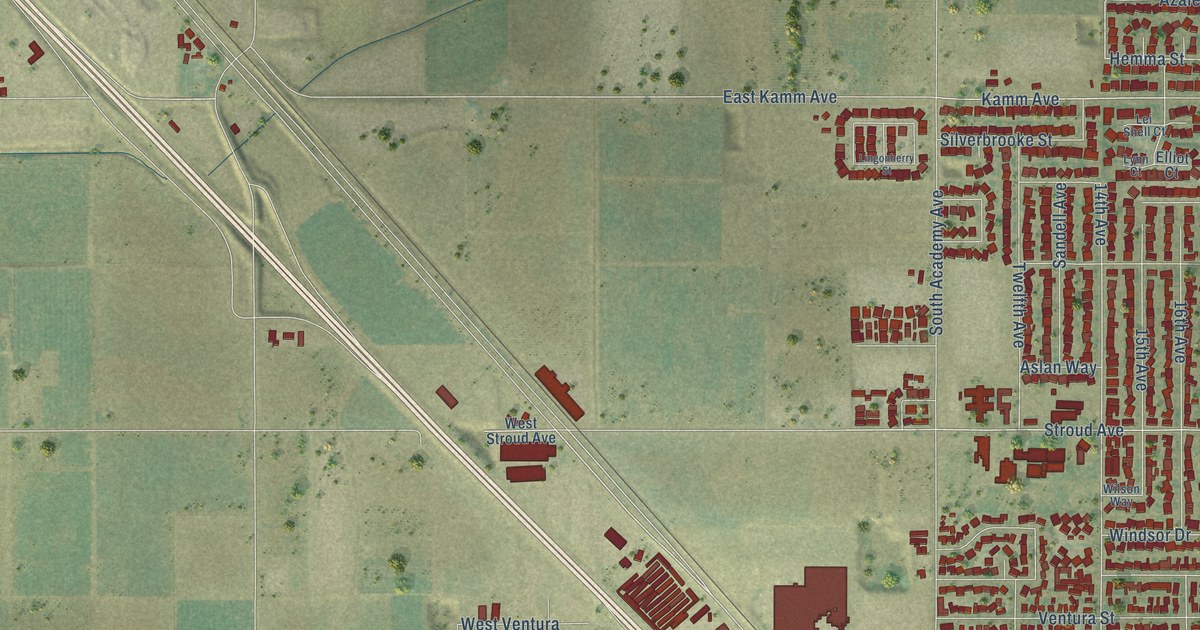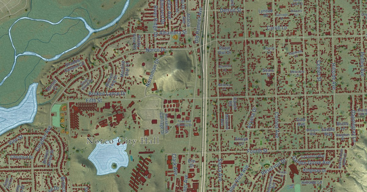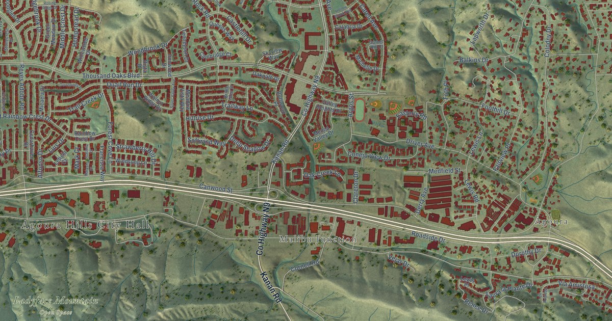
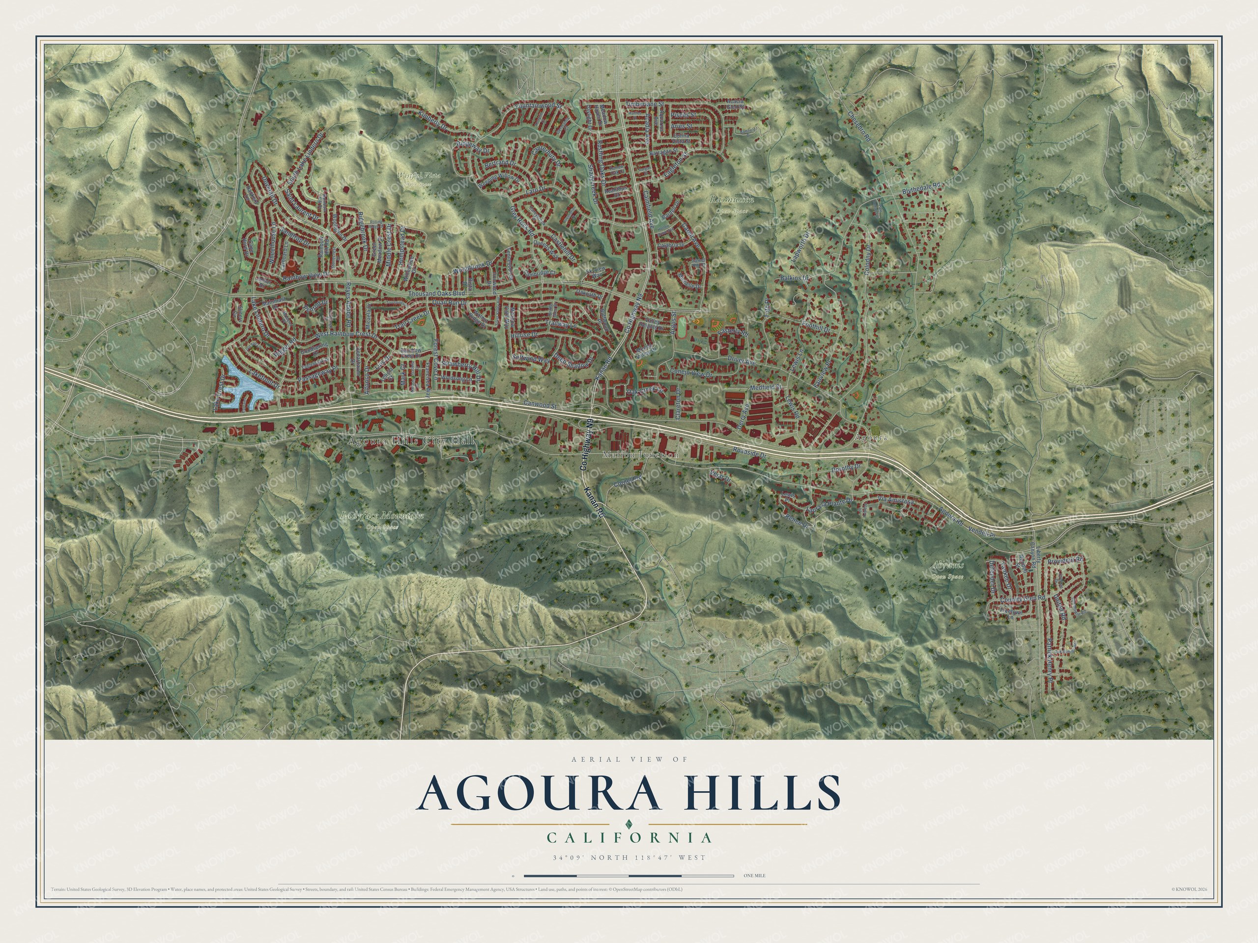
This beautifully detailed map of Agoura Hills, California was created in 2026 using aerial imagery combined with modern topographical, census, street and landmark data. It's a modern aerial view of Agoura Hills in Los Angeles County, California, that combines modern data with a vintage aesthetic. The roads feature printed names, and if you look closely you can find your exact house accurately shown in its correct location.
Explore an aerial view of Agoura Hills, California
On this map you'll find Agoura Hills City Hall, Agoura, Malibu Junction, Abrams Open Space, Ladyface Mountain Open Space, Rasmussen Open Space, Wistful Vista Open Space, Co Highway N9, Kanan Road, Fountainwood Street, Grey Rock Road, Fairview Place, and more. Each red shape is a building, so zoom in on the preview and look for yours.
Agoura Hills has a story worth telling. The City of Agoura Hills puts it this way: "The story begins in 1845 when a widow with 14 children, Maria Antonia Machado, purchased the original Reyes rancho, known as Rancho Las Virgenes, from her uncle Jose Maria Dominguez."
Agoura Hills is a city in Los Angeles County. The Census Bureau counted 20,299 people here in 2020.
Take a closer look at the Agoura Hills map
Names on this map
These names are printed on this map.
Places: Agoura Hills City Hall, Agoura, Malibu Junction, Abrams Open Space, Ladyface Mountain Open Space, Rasmussen Open Space and Wistful Vista Open Space.
Streets and roads: County Highway N9, Kanan Road, Fountainwood Street, Grey Rock Road, Fairview Place, Renee Drive, Lakefront Drive, Agoura Road, West Rainbow Crest Drive, Roadside Drive, Easterly Road, Laura la Plante Drive.
More street names, A to Z
Acacia Glen Street, Acadia Avenue, Acanthus Court, Alfonso Drive, Aquarius Avenue, Argos Street, Aries Street, Balkins Drive, Bamfield Drive, Bardell Drive, Barragan Street, Bertrand Drive, Blythedale Road, Bridle Glen Street, Buffwood Place, Calabria Drive, Calmfield Avenue, Cambridge Court, Canterbury Drive, Canwood Street, Cape Horn Drive, Captains Place, Carell Avenue, Careybrook Drive, Castlehill Drive, Cedarhaven Drive, Chesebro Road, Clareton Drive, Cll Robleda, Colina Vista Street, Colodny Drive, Conejo View Drive, Cornell Road, Country Glen Road, Dargan Street, Daylight Drive, Deep Shadow Drive, Defender Drive, Derry Avenue, Dorothy Drive, Dovetail Drive, Driver Avenue, Eaglebrook Drive, Eagleton Street, Fairgrange Drive, Foothill Drive, Forest Cove Lane, Francisca Way, Freetown Lane, Garnet Hill Court, Germania Court, Goodspring Drive, Greenbriar Court, Green Meadow Drive, Hackers Lane, Hempstead Drive, Hillrise Drive, Hollow Brook Avenue, Hollow Oak Court, Ironwood Drive, Isabella Court, Janlor Drive, Jim Bowie Road, Joelton Drive, Kerryhill Court, Kimberly Drive, Lake Crest Drive, Lake Lindero Drive, Lapworth Drive, Larboard Lane, Laro Drive, Leticia Court, Lewis Lane, Lewis Place, Lewis Road, Liberty Canyon Road, Luis Drive, Mainmast Drive, Mark Court, Marlies Street, Meadow Haven Drive, Meadow Vista Way, Medea Valley Drive, Medfield Street, Micaela Drive, Michelle Drive, Middle Crest Drive, Modena Place, Natasha Court, Oak Creek Lane, Oakpath Drive, Oak Summit Road, Old Salt Lane, Palo Comado Drive, Passageway Place, Patrick Henry Place, Penrod Drive, Pisces Street, Provident Road, Quail Run Drive, Queens Way, Rainbow Crest Drive, Rainbow Hill Drive, Rainbow Hill Road, Rainbow View Drive, Reyes Adobe Road, Ridgebrook Drive, Ridgeway Drive, Rigger Road, Rista Drive, Rolling Ridge Drive, Rondell Street, Rustling Oaks Drive, Saint Laurent Drive, Sandtrap Drive, Shadycreek Drive, Silver Valley Avenue, Skyview Way, Slicers Circle, Softwind Way, South Lake Lindero Drive, Stonecrest Drive, Strawberry Hill Drive, Tenneyson Drive, Thousand Oaks Boulevard, Timberlane Street, Torrepines Place, Toth Place, Trail Creek Drive, Trailway Lane, United Road, Valley Heights Drive, Vejar Drive, Vendell Place, Via Amistosa, Walnut Ridge Drive, Weeping Willow Drive, Wheelhouse Lane, Willowtree Drive, Windsong Lane, Woodbrook Drive, Woodglen Drive, Yankee Drive.
Created by KNOWOL in 2026. The buildings are small red shapes, the roads carry their printed names, and shaded relief shows the shape of the land. The title panel reads "AERIAL VIEW OF AGOURA HILLS CALIFORNIA" with 34°09' NORTH 118°47' WEST.
It looks right in a kitchen, an office or a den, and it's a gift for anyone who grew up in Agoura Hills or moved away. Open the preview and find your street. See sizes and frames for the Agoura Hills map.