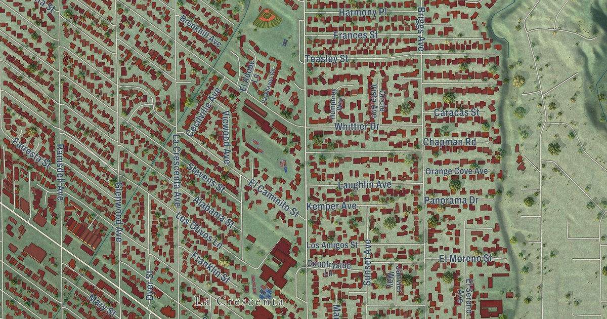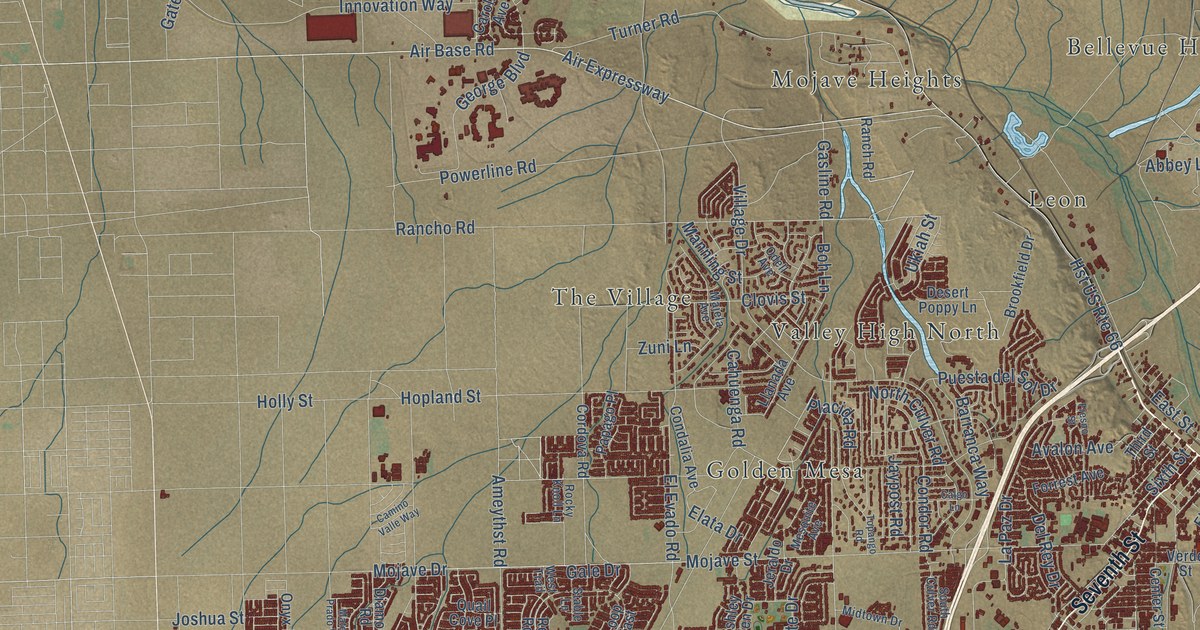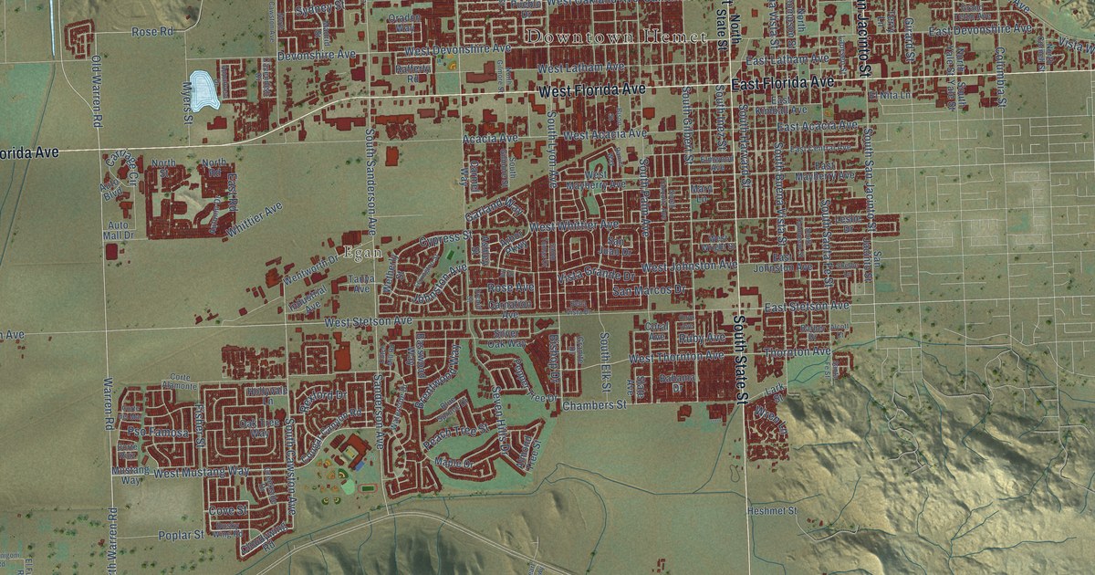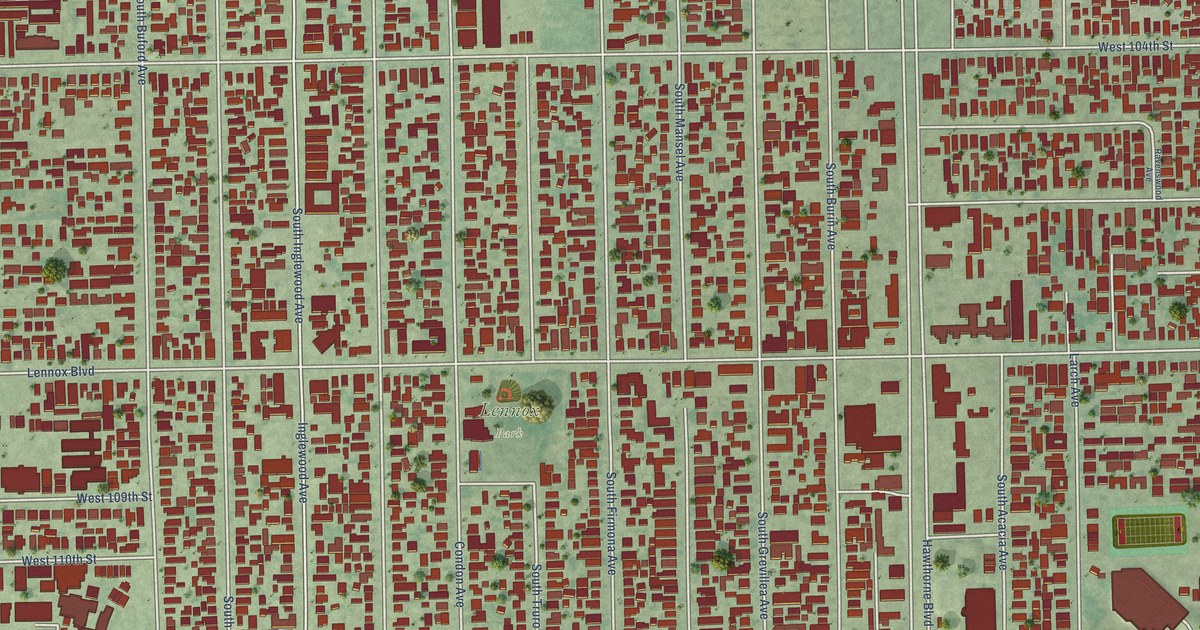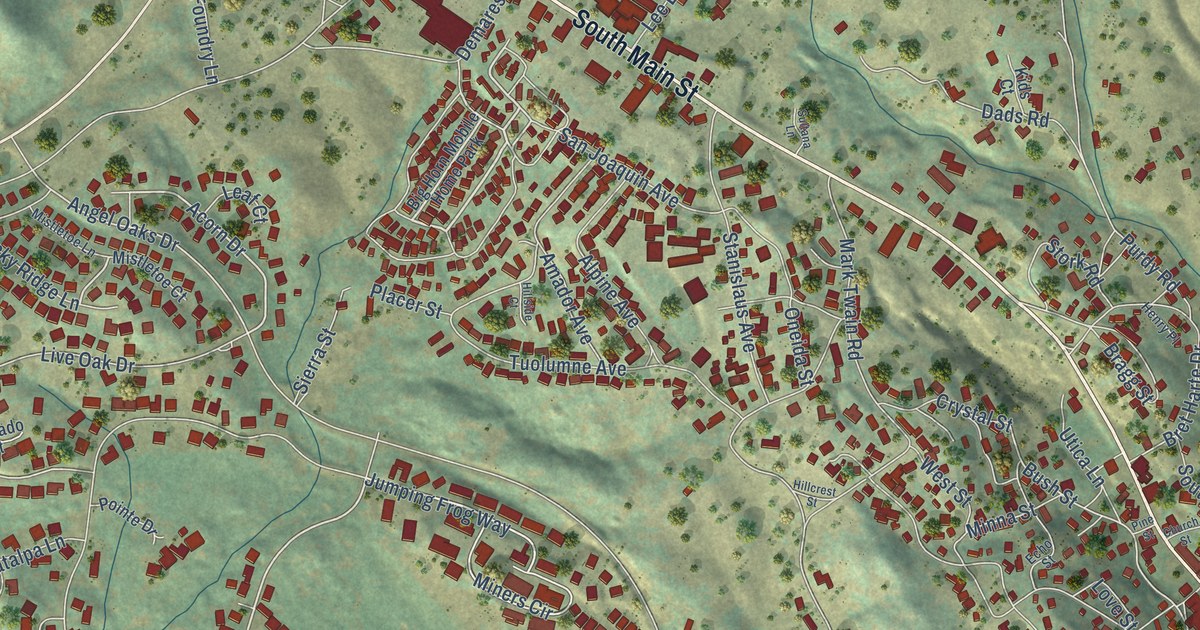
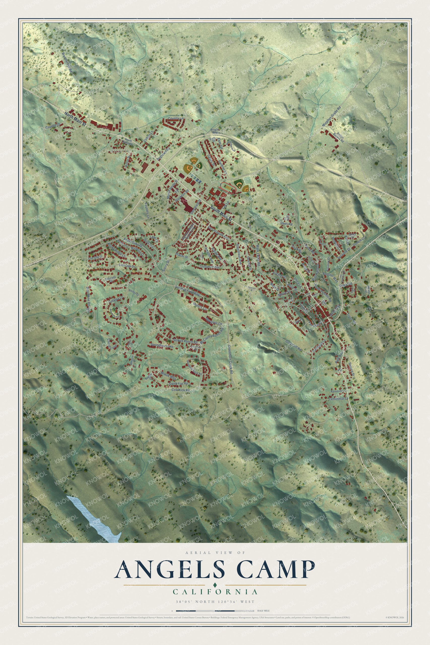
This beautifully detailed map of Angels Camp, California was created in 2026 using aerial imagery combined with modern topographical, census, street and landmark data. It's a modern aerial view of Angels Camp in Calaveras County, California, that combines modern data with a vintage aesthetic. The roads feature printed names, and if you look closely you can find your exact house accurately shown in its correct location.
Explore an aerial view of Angels Camp, California
On this map you'll find Altaville, South Main Street, North Main Street, Acorn Drive, Selkirk Ranch Road, Jumping Frog Way, Angel Oaks Drive, Bush Street, Suzanne Drive, Easy Circle, Smith Flat Road, Murphys Grade Road, and more. Each red shape is a building, so zoom in on the preview and look for yours.
Every town has a first chapter, and Angels Camp is no exception. The record at ohp.parks.ca.gov puts it this way: "It was here that Samuel Clemens first heard the yarn that was later to bring him fame as Mark Twain, author of The Jumping Frog of Calaveras County."
Angels Camp is a city in Calaveras County. The Census Bureau counted 3,667 people here in 2020.
Take a closer look at the Angels Camp map
Names on this map
These names are printed on this map.
Places: Altaville and Big Horn Mobile Home Park.
Streets and roads: South Main Street, North Main Street, Acorn Drive, Selkirk Ranch Road, Jumping Frog Way, Angel Oaks Drive, Bush Street, Suzanne Drive, Easy Circle, Smith Flat Road, Murphys Grade Road, Greenhorn Creek Road.
More street names, A to Z
Albasio Court, Alpine Avenue, Amador Avenue, Annalee Court, Avey Ridge Trail, Birds Way, Blair Mine Road, Booster Way, Bragg Street, Bret Harte Drive, Broglio Way, Brunner Hill Road, Casey Street, Catalpa Lane, Centennial Lane, Church Street, Clifton Lane, Copello Drive, Corral Loop, Country Lane, Cow Kick Road, Crystal Street, Dads Road, Demarest Street, Depot Road, Deveggio Lane, Dogtown Road, Dutsch Court, Easy Street, Echo Street, Eldorado Court, Fairview Drive, Finnegan Lane, Foundry Lane, Gardner Lane, Gold Cliff Road, Greenstone Way, Grinding Rock Road, Henry Place, Hillcrest Street, Hillside Court, Kids Court, Kurt Drive, Leaf Court, Lee Lane, Live Oak Court, Live Oak Drive, Love Street, Mark Twain Road, Mary Belle Way, Mayo Road, McCauley Ranch Road, Mill Road, Miners Circle, Minna Street, Mistletoe Court, Mistletoe Lane, Miwuk Way, Monte Verde Street, Moose Trail, North Baker Street, Oak Place, Old Vallencito Road, Oneida Street, Park Avenue, Peri Street, Perlina Court, Pine Street, Placer Street, Pointe Drive, Purdy Road, Raggio Court, Ramorini Lane, Rocky Ridge Lane, Rolleri Bypass Road, San Joaquin Avenue, Sierra Street, Slate Circle, Sonora Street, South Summit Road, Springhouse Road, Spyglass Circle, Stanislaus Avenue, Stelte Court, Stockton Road, Stork Road, Sultana Lane, Suzanne Court, Tryon Court, Tryon Road, Tuolumne Avenue, Utica Lane, West Street, Wilson Street.
Created by KNOWOL in 2026. The buildings are small red shapes, the roads carry their printed names, and shaded relief shows the shape of the land. The title panel reads "AERIAL VIEW OF ANGELS CAMP CALIFORNIA" with 38°05' NORTH 120°34' WEST.
Hang it in the hallway, the office or the cabin, or give it to someone who left Angels Camp and still calls it home. Open the preview and look for a street you know. See sizes and frames for the Angels Camp map.