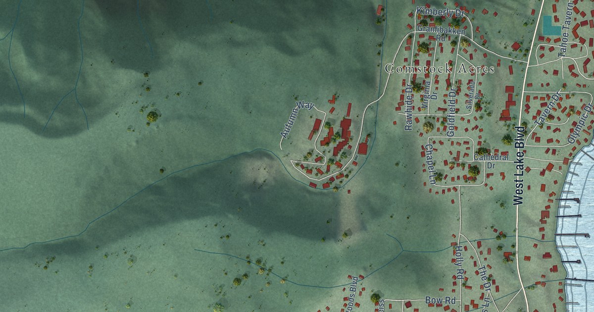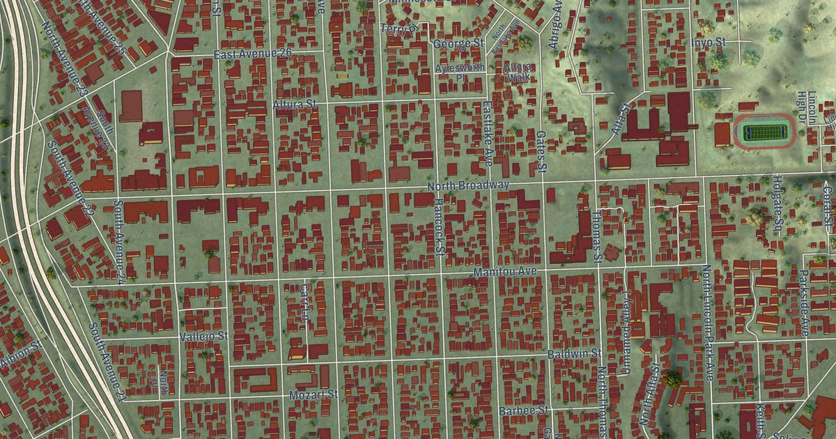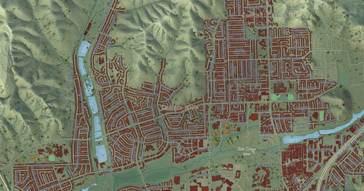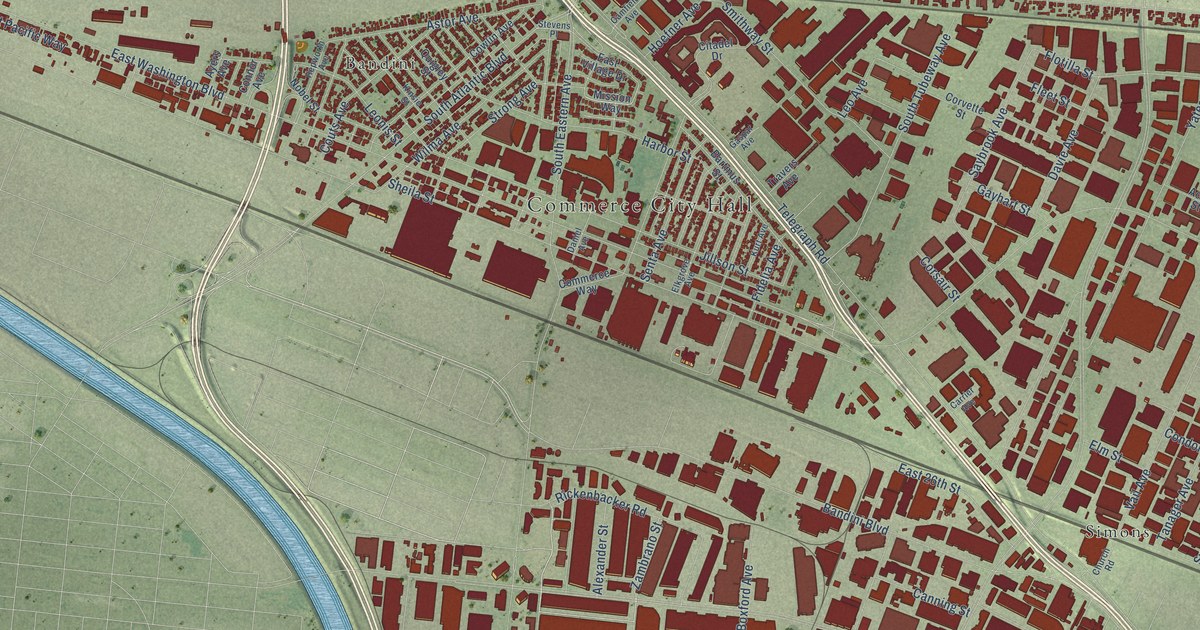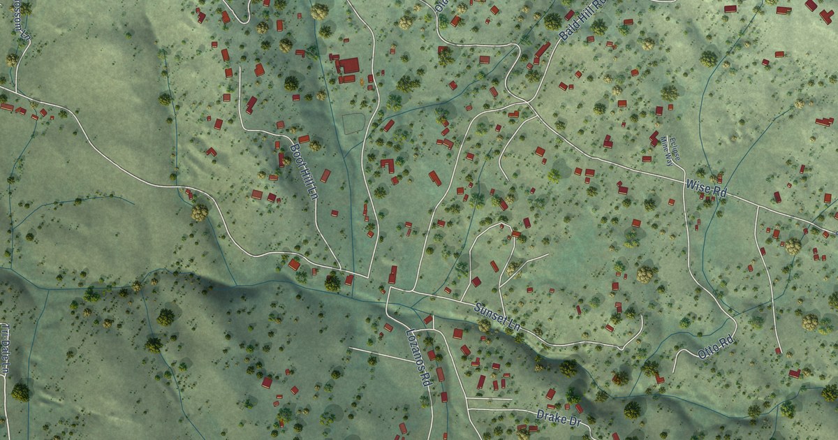
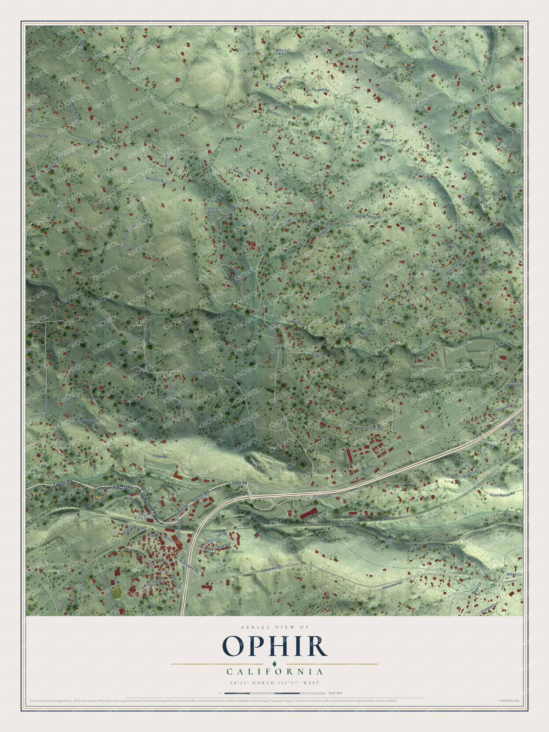
This beautifully detailed map of Ophir, California was created in 2026 using aerial imagery combined with modern topographical, census, street and landmark data. It’s a one-of-a-kind view of Ophir that combines accurate data with a vintage aesthetic. The map shows every building in its true location, many of the roads carry their names, and the shaded topographic relief shows the shape of the land.
Explore an aerial view of Ophir, California
On the map you’ll find Newcastle Cemetery, Newcastle, and Cypress, along with Taylor Road, Lincoln Nwcl Highway, Newcastle Highway, Ophir Road, Hillview Road, Hathaway Road, Wise Road, Bald Hill Road, Crater Hill Road, and more. If you look closely you can even find your house accurately drawn in its correct location. Zoom in on the preview to look for yours.
Did You Know?
From Internet Archive: "Gere settled in Utah Territory, where he engaged in his practice in the town of Ophir, and later in Silver Keef."
Ophir is a community in Placer County.
Take a closer look at the Ophir map
Names on this map
These names are printed on this map.
Places: Newcastle Cemetery and Newcastle.
Streets and roads: Taylor Road, Lincoln Nwcl Highway, Newcastle Highway, Ophir Road, Hillview Road, Hathaway Road, Cypress, Wise Road, Bald Hill Road, Crater Hill Road, Millertown Road, Indian Hill Road.
More street names, A to Z
Backakers Lane, Bar Ranch Road, Bell Bar Road, Betterley Lane, Black Jack Lane, Blackjack Lane, Blue Grass Trail, Blue Light Lane, Bonnie Lane, Boot Hill Lane, Briar Hill Road, Buckhorn Road, Buena Vista Avenue, Calnick Lane, Cardoso Lane, Chantry Hill Road, Cherry Lane, Chili Hill Road, Chilli Hill Road, Coefield Road, Crooked Lane, Crystal Mine Road, Desmond Lane, Dillon Circle, Doe Run Lane, Drake Drive, Dutchmans Mine Road, Eclipse Mine Way, Forster Lane, Geraldson Road, Gin Mill Road, Glenview Road, Gold Blossom Lane, Hillbrook Lane, Hoppe Lane, Howell Lane, Hoyer Lane, Kellogg Street, Kentucky Greens Way, Langs Hill Road, Lozanos Road, Moran Court, Moran Drive, Newcastle Road, North Hillbrook Road, Old Cypress Lane, Old Oak Road, Old State Highway, Otto Road, Page Street, Park Avenue, Peach Lane, Perry Ranch Road, Pheasant Lane, Plum Lane, Pond View Lane, Pyrite Lane, Quartz Mine Road, Quattro Place, Ralston Lane, Red Ravine Road, Ridge Road, Saint Patrick Lane, Second Street, Slowdown Road, Slow Down Road, Spanish Corral Lane, Star Thistle Lane, Sueda Ranch Road, Sunset Lane, Tri-Dale Lane, Tri Dale Lane, Vada Ranch Road, Valle Vista Court, Valley View Drive, Warren Way, Webber Lane, Werner Road, Williams Way, Woodman Lane.
See it on a wall
The Ophir map as a framed print. Swipe for more.


This beautifully detailed map of Ophir makes an attractive addition to your office, library, or den, and it can even be used to teach children the geography and history of the area. It also makes a great gift for someone who left Ophir and still calls it home. When you’re done exploring, click here to get your copy of the Ophir map.