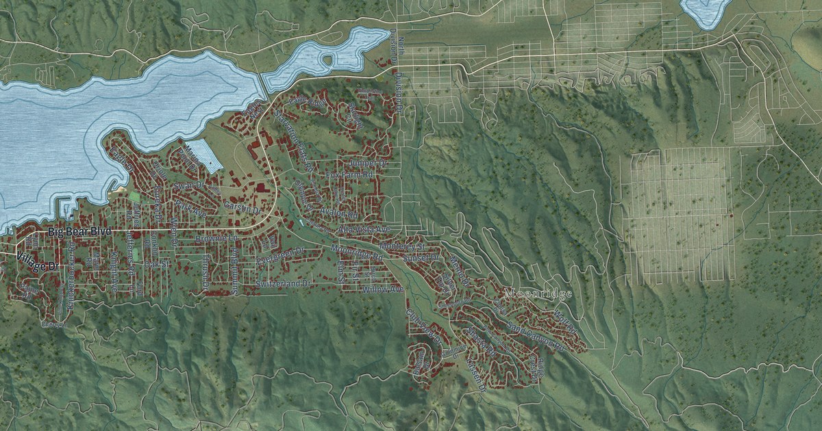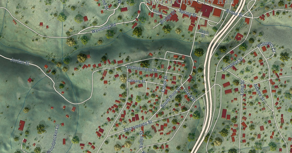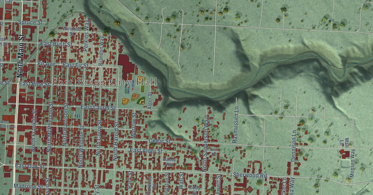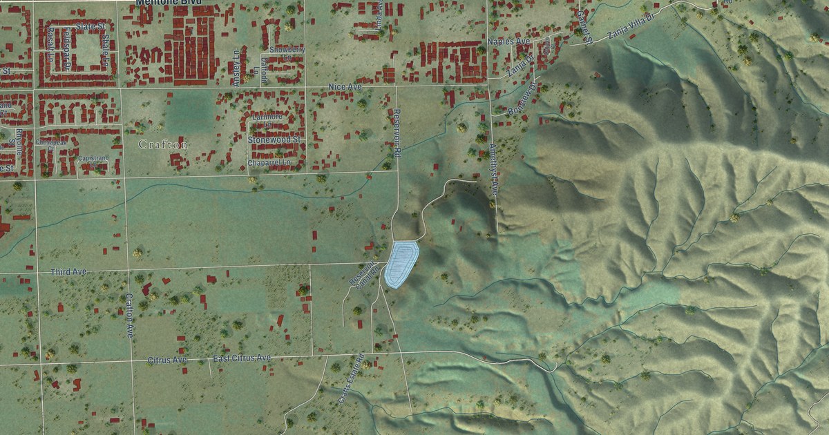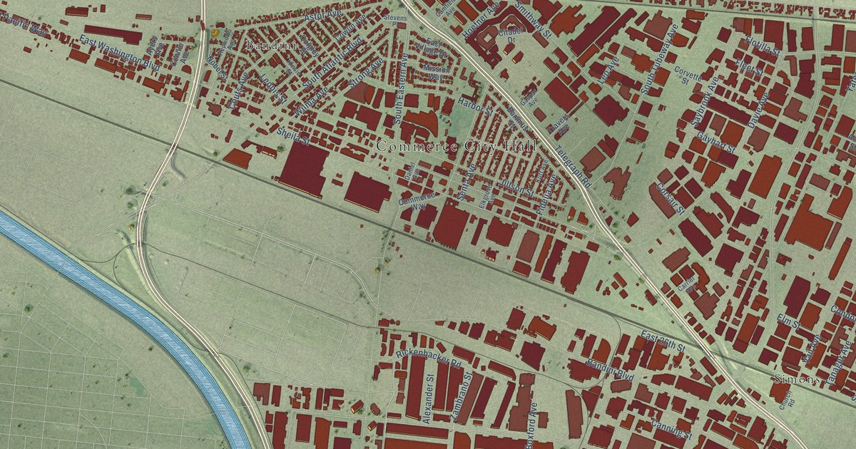
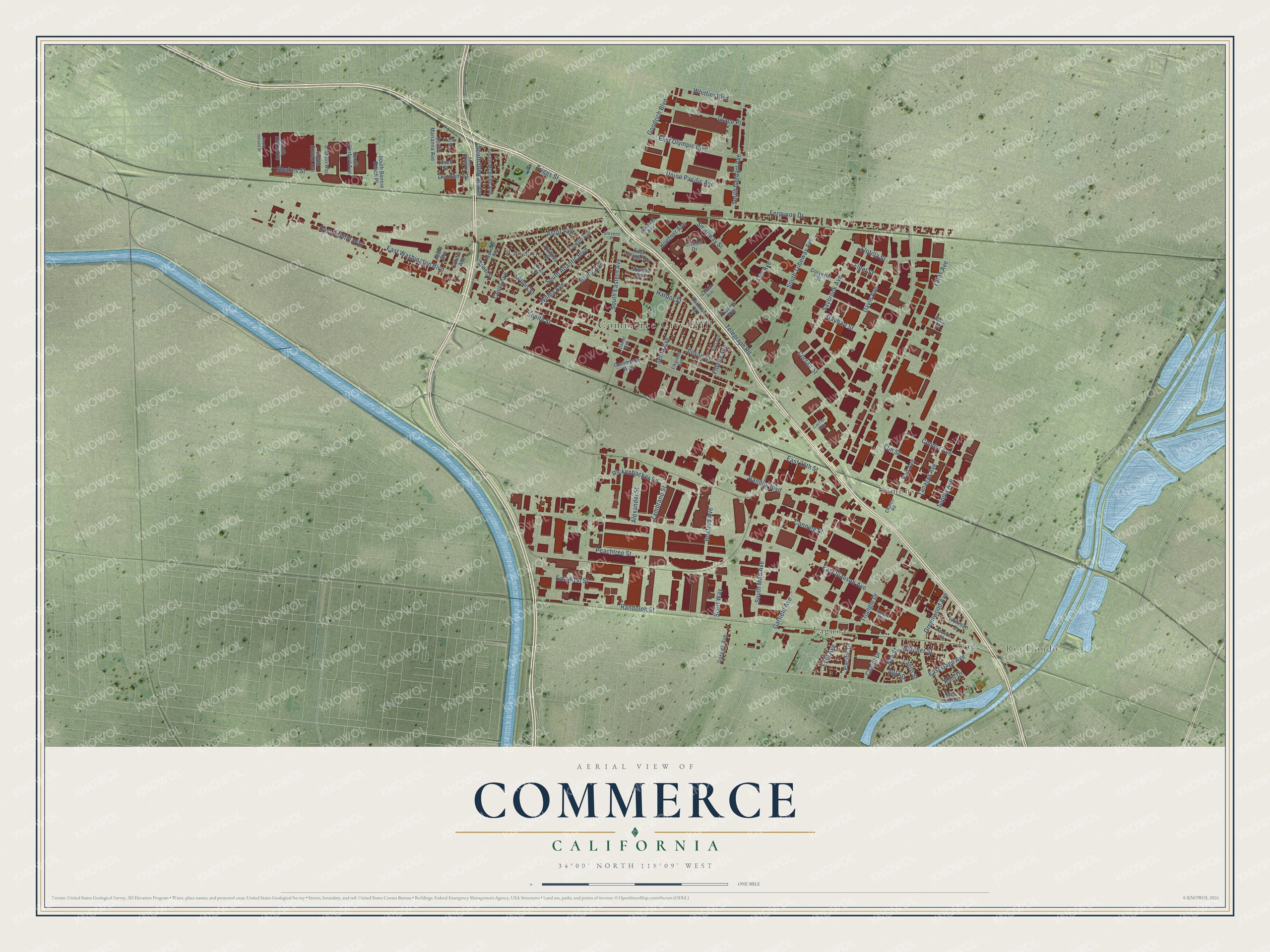
This beautifully detailed map of Commerce, California was created in 2026 using aerial imagery combined with modern topographical, census, street and landmark data. It's a modern aerial view of Commerce in Los Angeles County, California, that combines modern data with a vintage aesthetic. The roads feature printed names, and if you look closely you can find your exact house accurately shown in its correct location.
Explore an aerial view of Commerce, California
On this map you'll find Commerce City Hall, Rio Hondo, Bandini, Gage, Laguna, Simons, Zambrano Street, Garfield Avenue, Telegraph Road, East Washington Boulevard, East Slauson Avenue, Sheila Street, and more. Each red shape is a building, so zoom in on the preview and look for yours.
Commerce is a city in Los Angeles County. The Census Bureau counted 12,378 people here in 2020. The map prints the town name in its title panel, with the coordinates below it.
Take a closer look at the Commerce map
Names on this map
These names are printed on this map.
Places: Commerce City Hall, Rio Hondo, Bandini, Gage, Laguna and Simons.
Streets and roads: Zambrano Street, Garfield Avenue, Telegraph Road, East Washington Boulevard, East Slauson Avenue, Sheila Street, South Eastern Avenue, Bandini Boulevard, Ferguson Drive, South Atlantic Boulevard, Randolph Street, Jillson Street.
More street names, A to Z
Acco Street, Agra Street, Alexander Street, Astor Avenue, Ayers Avenue, Bartmus Street, Boxford Avenue, Camfield Avenue, Canning Street, Carrier Avenue, Chalet Drive, Church Road, Citadel Drive, Commerce Way, Condor Avenue, Connor Avenue, Corsair Street, Corvette Street, Couts Avenue, Cowlin Avenue, Daniel Avenue, Darwell Avenue, Davie Avenue, Dedeaux Way, Dunham Street, East 26th Street, East 61st Street, East Gage Avenue, East Olympic Boulevard, East Pacific Way, East Village Drive, Elkgrove Avenue, Elm Street, Emil Avenue, Fidelia Avenue, Fleet Street, Flotilla Street, Gaspar Avenue, Gayhart Street, Goodrich Boulevard, Grace Place, Greenwood Avenue, Harbor Street, Hepworth Avenue, Hoefner Avenue, Kinsie Street, Kuhl Drive, Kurt Avenue, Lanto Street, Leo Avenue, Leonis Street, Lovett Street, Mission Way, Neenah Street, Noakes Street, Nobel Street, Nye Street, Oxford Way, Pacific Drive, Peachtree Street, Pso del Rio, Quigley Street, Rickenbacker Road, Saybrook Avenue, Scott Way, Senta Avenue, Smithway Street, South Bonnie Beach Place, South Duncan Avenue, South Gerhart Avenue, South Herbert Avenue, South Hicks Avenue, South Indiana Street, South Malt Avenue, South Marianna Avenue, South McBride Avenue, South Rowan Avenue, South Sydney Drive, South Tubeway Avenue, Stevens Place, Strong Avenue, Supply Avenue, Tanager Avenue, Travers Avenue, Triangle Drive, Triggs Street, Tuttle Street, Union Pacific Avenue, Vail Avenue, Watcher Street, Wellman Street, Whittier Boulevard, Wilma Avenue, Yates Avenue.
Created by KNOWOL in 2026. The buildings are small red shapes, the roads carry their printed names, and shaded relief shows the shape of the land. The title panel reads "AERIAL VIEW OF COMMERCE CALIFORNIA" with 34°00' NORTH 118°09' WEST.
Hang it in the hallway, the office or the cabin, or give it to someone who left Commerce and still calls it home. Open the preview and look for a street you know. See sizes and frames for the Commerce map.