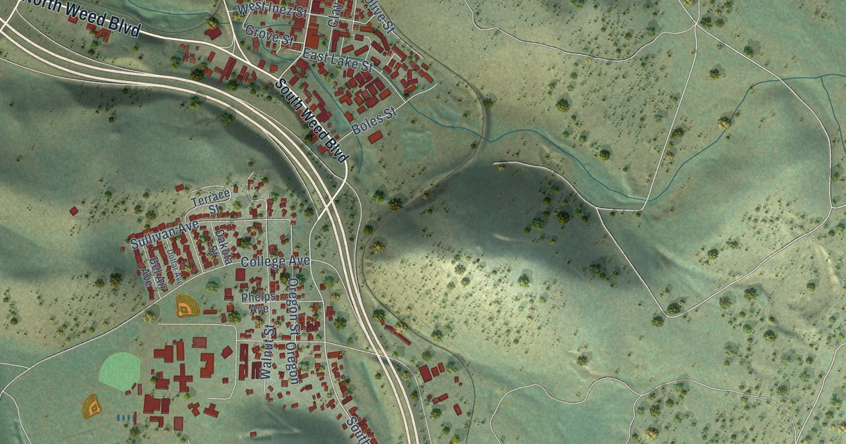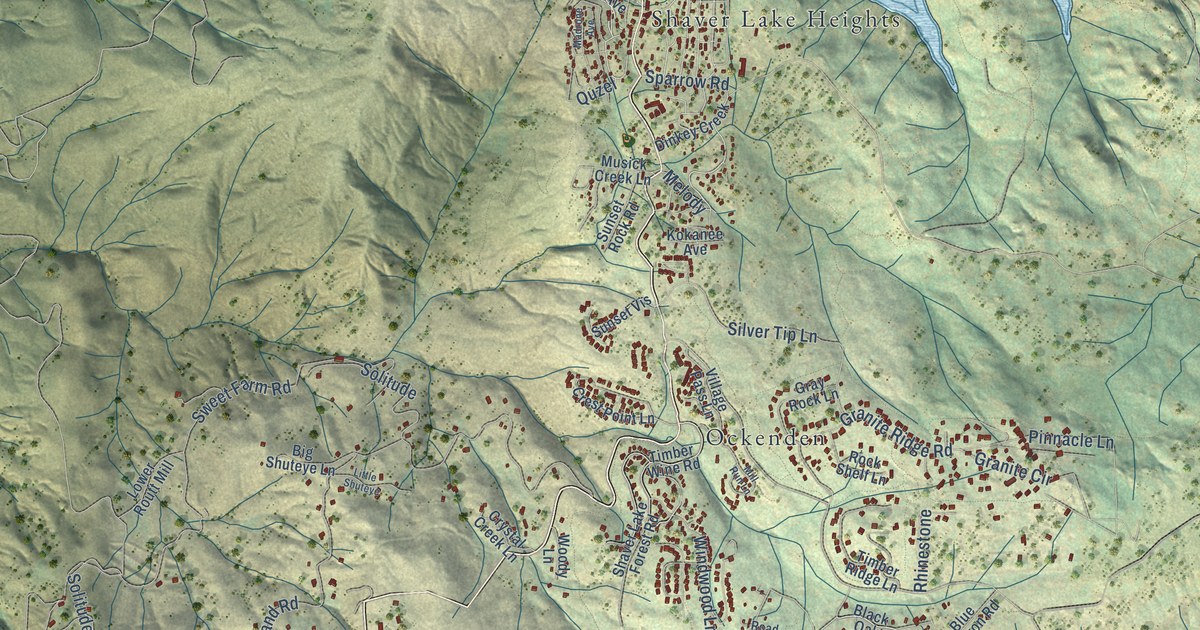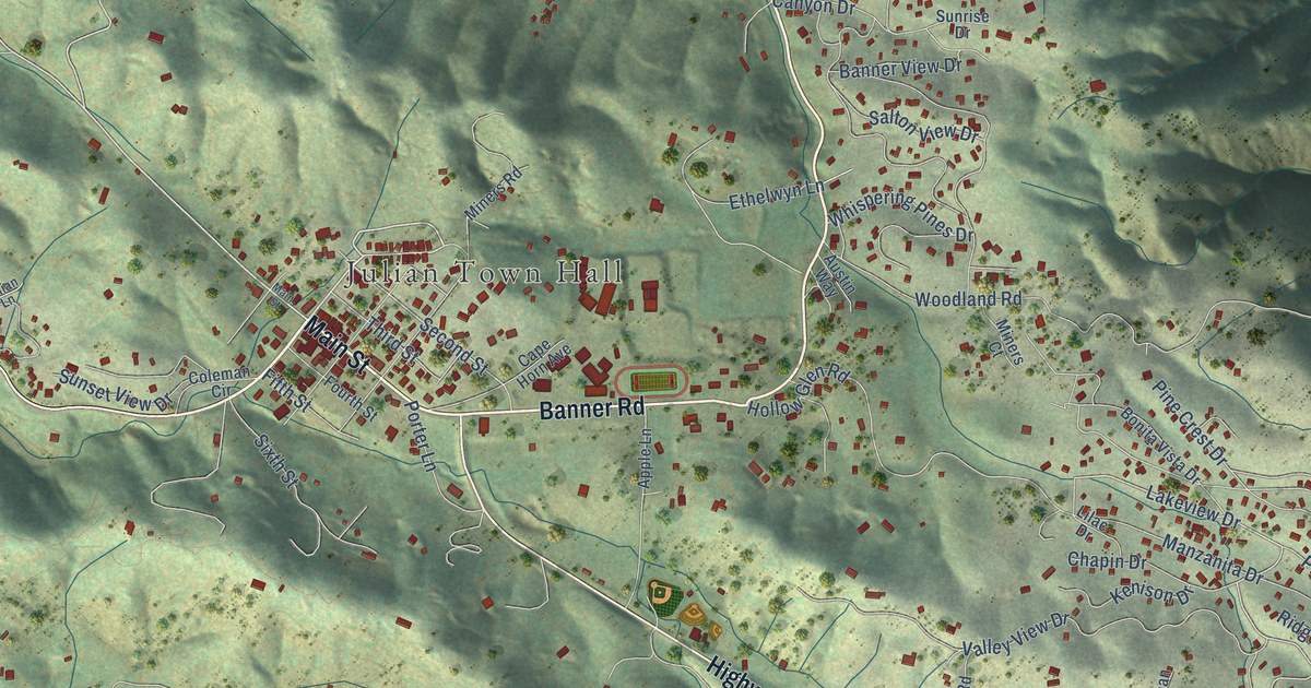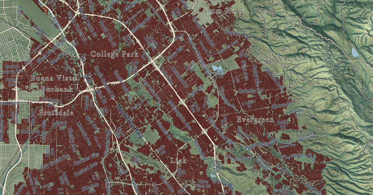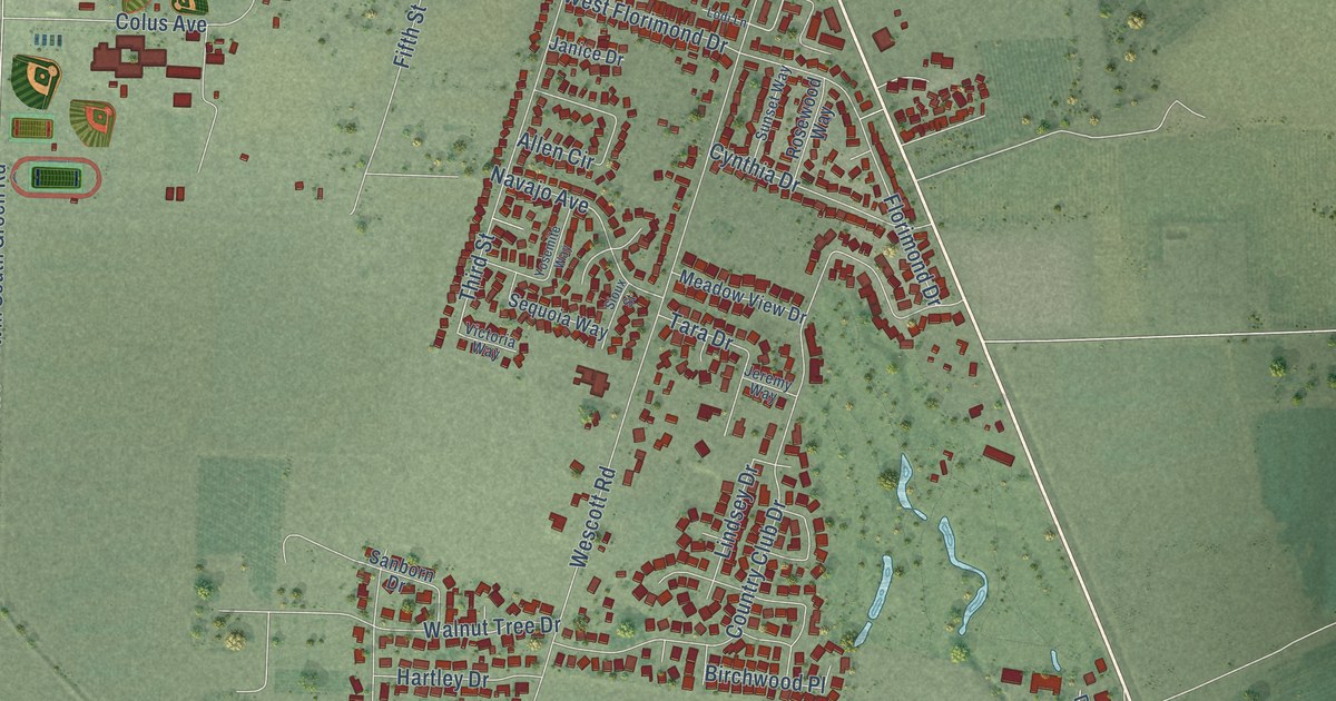
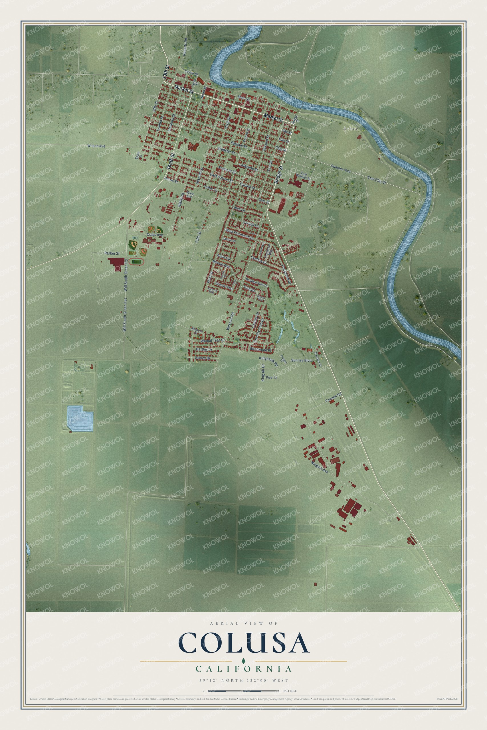
This beautifully detailed map of Colusa, California was created in 2026 using aerial imagery combined with modern topographical, census, street and landmark data. It's a modern aerial view of Colusa in Colusa County, California, that combines modern data with a vintage aesthetic. The roads feature printed names, and if you look closely you can find your exact house accurately shown in its correct location.
Explore an aerial view of Colusa, California
On this map you'll find Arbee, Market Street, 13th Street, Bridge Street, Tenth Street, Commer Avenue, East Clay Street, Sioc Street, Wescott Road, Third Street, Fifth Street, Fremont Street, and more. Each red shape is a building, so zoom in on the preview and look for yours.
Colusa has a story worth telling. The record at ohp.parks.ca.gov puts it this way: "Erected in 1861, this Federal/Classic Revival style building is the oldest remaining courthouse in the Sacramento Valley."
Colusa is a city in Colusa County. The Census Bureau counted 6,411 people here in 2020.
Take a closer look at the Colusa map
Names on this map
These names are printed on this map.
Places: Arbee.
Streets and roads: Market Street, 13th Street, Bridge Street, Tenth Street, Commer Avenue, East Clay Street, Sioc Street, Wescott Road, Third Street, Fifth Street, Fremont Street, Parkhill Street.
More street names, A to Z
Allen Circle, Ashley Drive, Baber Drive, Birchwood Place, Carson Street, Clay Street, Colus Avenue, Country Club Drive, Cynthia Drive, Davison Court, East Carson Street, East Webster Street, Eighth Street, Eleventh Street, Farinon Road, First Street, Florimond Drive, Fourth Street, Harris Street, Hartley Drive, Janice Drive, Jay Street, Jeremy Way, King Air Drive, Kittyhawk Road, Lafayette Street, Larson Lane, Levee Street, Lindsey Drive, Lodi Lane, Louis Lane, Main Street, Meadow View Drive, Navajo Avenue, Niagara Avenue, Ninth Street, Oak Street, Parker Street, Piper Lane, Roberts Road, Rosewood Way, Sanborn Drive, Second Street, Sequoia Way, Seventh Street, Sioux Street, Sixth Street, Sunrise Boulevard, Sunset Way, Tara Drive, Tuttle Lane, Twelfth Street, Victoria Way, Voyager Court, Walnut Tree Drive, Ware Avenue, Webster Street, West Florimond Drive, Will South Green Avenue, Will South Green Road, Wilson Avenue, Yosemite Way.
Created by KNOWOL in 2026. The buildings are small red shapes, the roads carry their printed names, and shaded relief shows the shape of the land. The title panel reads "AERIAL VIEW OF COLUSA CALIFORNIA" with 39°12' NORTH 122°00' WEST.
It looks right in a kitchen, an office or a den, and it's a gift for anyone who grew up in Colusa or moved away. Open the preview and find your street. See sizes and frames for the Colusa map.