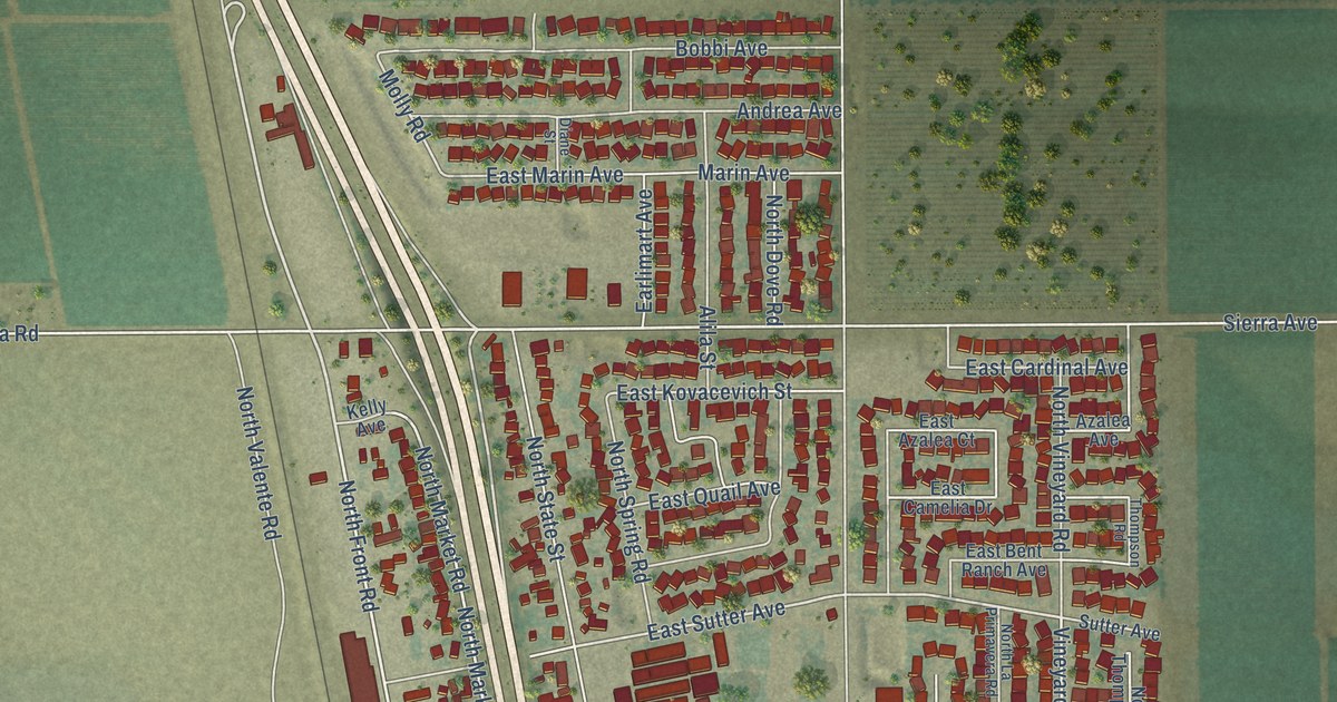
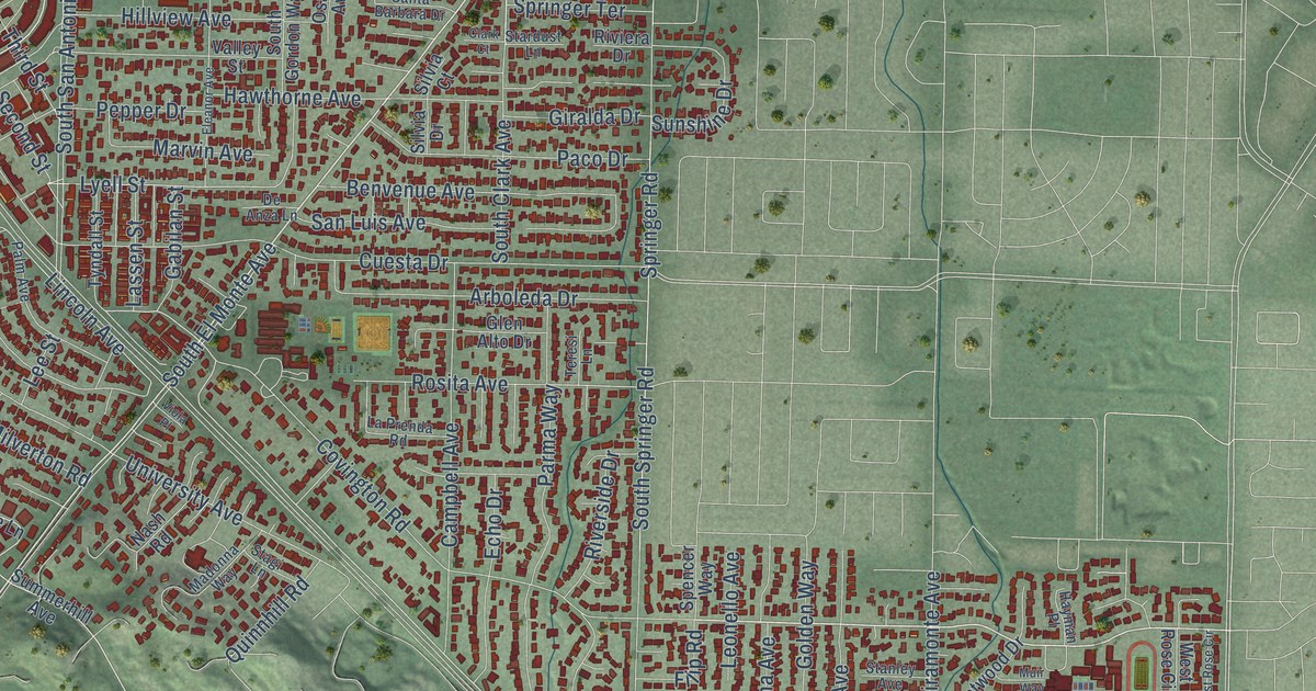
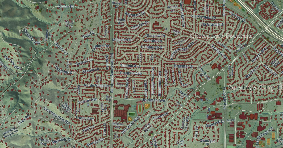
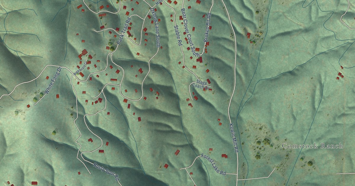
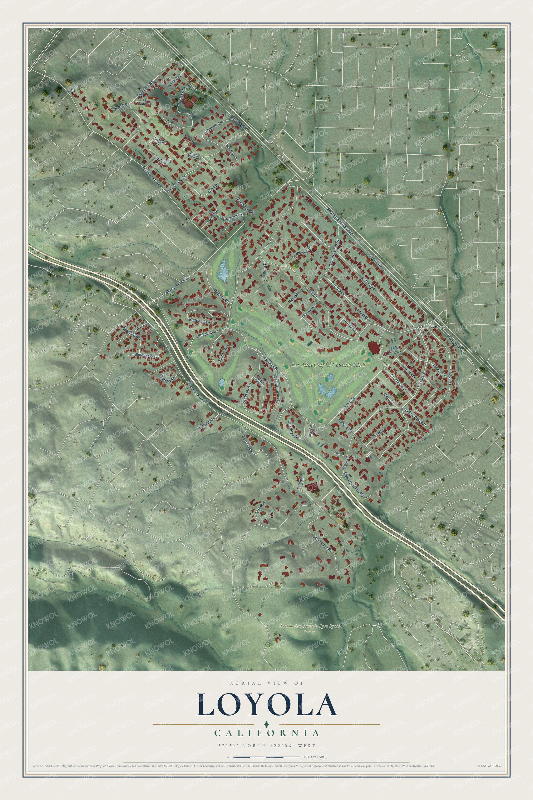
This beautifully detailed map of Loyola, California was created in 2026 using aerial imagery combined with modern topographical, census, street and landmark data. It's a modern aerial view of Loyola in Santa Clara County, California, that combines modern data with a vintage aesthetic. The roads feature printed names, and if you look closely you can find your exact house accurately shown in its correct location.
Explore an aerial view of Loyola, California
On this map you'll find Rancho San Antonio Open Space Preserve, Loyola Corners, Los Altos Golf & Country Club, Loyola Drive, Frontero Avenue, Terrace Drive, Country Club Drive, Magdalena Avenue, Summerhill Avenue, Putter Way, Mora Drive, Foothill Expressway, and more. Each red shape is a building, so zoom in on the preview and look for yours.
Loyola is a community in Santa Clara County. The Census Bureau counted 3,491 people here in 2020. Loyola sits about 3 miles southeast of Los Altos Hills, 4 miles south of Mountain View and 4 miles northwest of Cupertino. The map prints the town name in its title panel, with the coordinates below it.
Take a closer look at the Loyola map
Names on this map
These names are printed on this map.
Places: Rancho San Antonio Open Space Preserve, Loyola Corners and Los Altos Golf & Country Club.
Streets and roads: Loyola Drive, Frontero Avenue, Terrace Drive, Country Club Drive, Magdalena Avenue, Summerhill Avenue, Putter Way, Mora Drive, Foothill Expressway, Eastbrook Avenue, Fairway Drive, Arbor Avenue.
More street names, A to Z
Anita Avenue, Arriba Court, Belvoir Drive, Border Hill Road, Border Road, Club View Terrace, Corte Via, Costello Court, Costello Drive, Crestview Drive, Entrada Place, Esberg Road, Granger Avenue, Greenview Place, Gronwall Lane, Hierra Court, Hillslope Place, Hillview Drive, Joandra Court, Knoll Drive, La Cuesta Drive, Lundy Lane, Magdalena Court, Miller Avenue, Mora Court, Mora Glen Drive, Nandell Lane, Niblick Avenue, Oakridge Drive, Oakridge Way, Outlook Drive, Par Avenue, Partridge Lane, Plateau Avenue, Quail Meadow Road, Quinnhill Road, Rockpoint Lane, Ruth Lee Court, Shadow Creek Place, Shirley Avenue, Spalding Avenue, Terry Way, Thorsen Court, Topar Avenue, Topar Drive, Valley View Court, Valley View Drive, Villa Drive, Westbrook Avenue, West Loyola Drive, Whitham Avenue, Winding Way, Young Court.
See it on a wall
The Loyola map as a framed print. Swipe for more.


Created by KNOWOL in 2026. The buildings are small red shapes, the roads carry their printed names, and shaded relief shows the shape of the land. The title panel reads "AERIAL VIEW OF LOYOLA, CALIFORNIA" with 37°21' NORTH 122°06' WEST.
It suits a den, a classroom or a front hall, and it makes a gift for anyone with Loyola roots. Open the preview and find the block you know. See sizes and frames for the Loyola map.