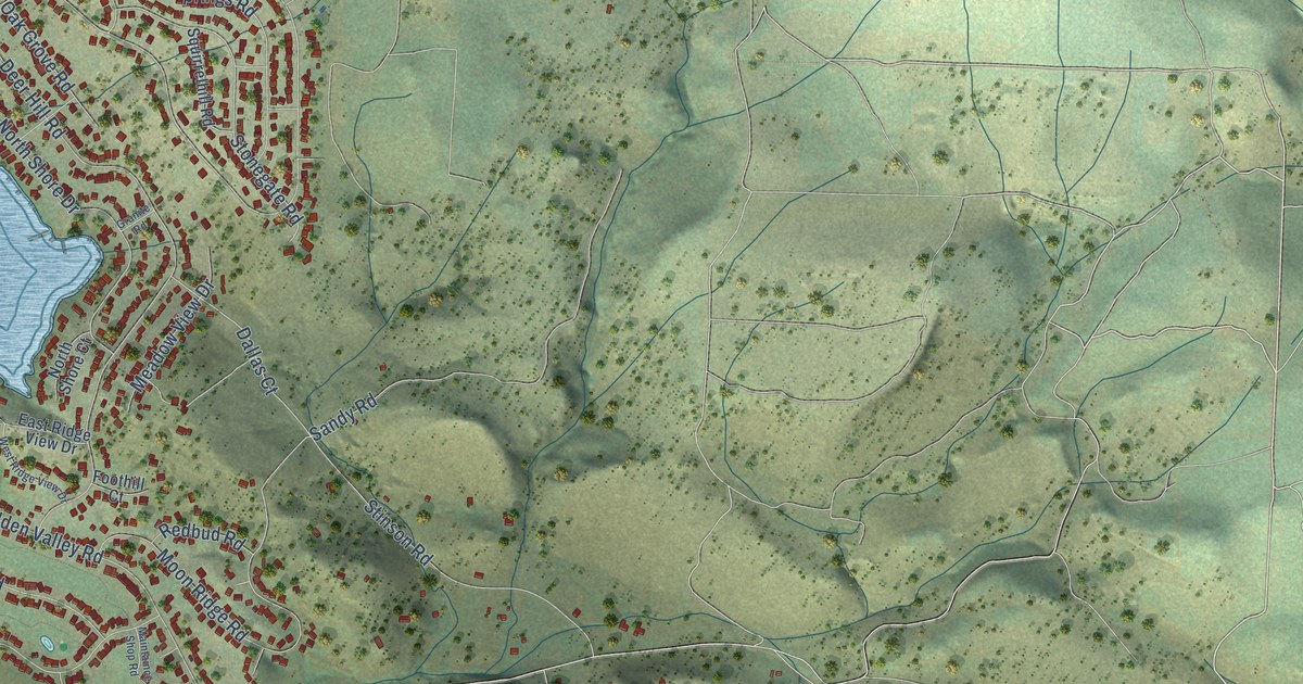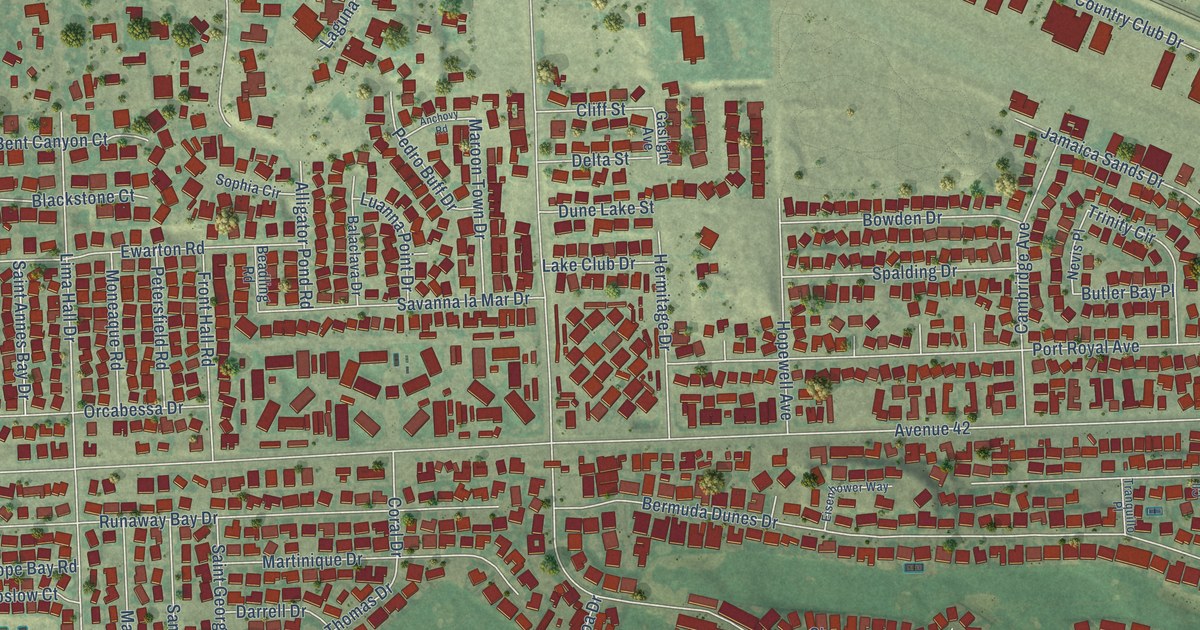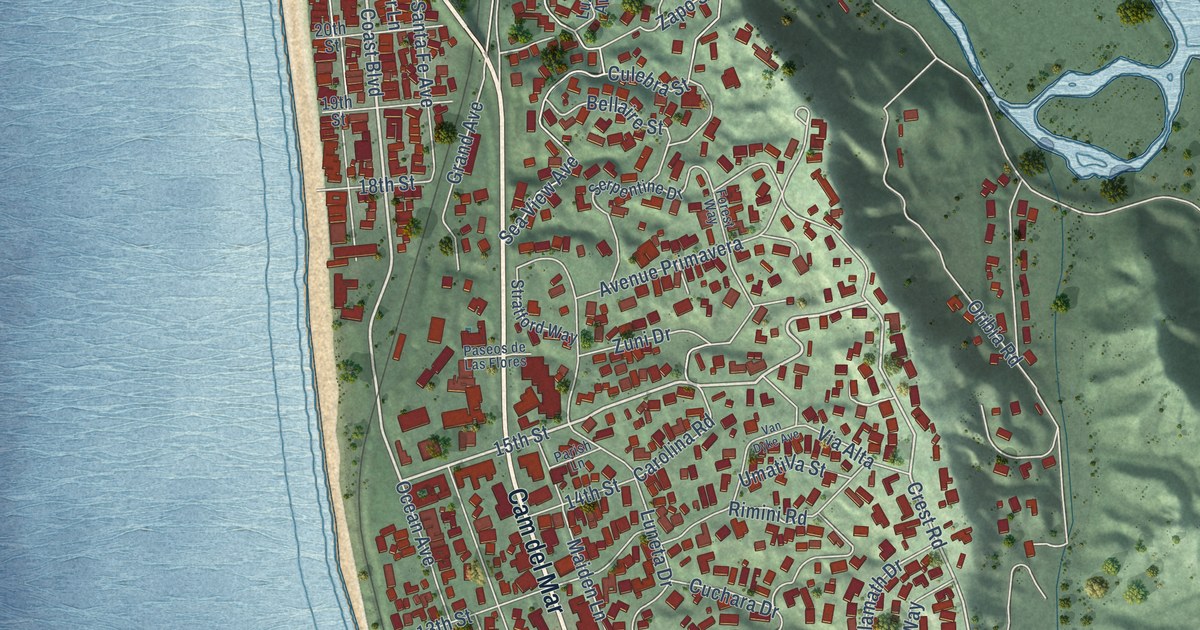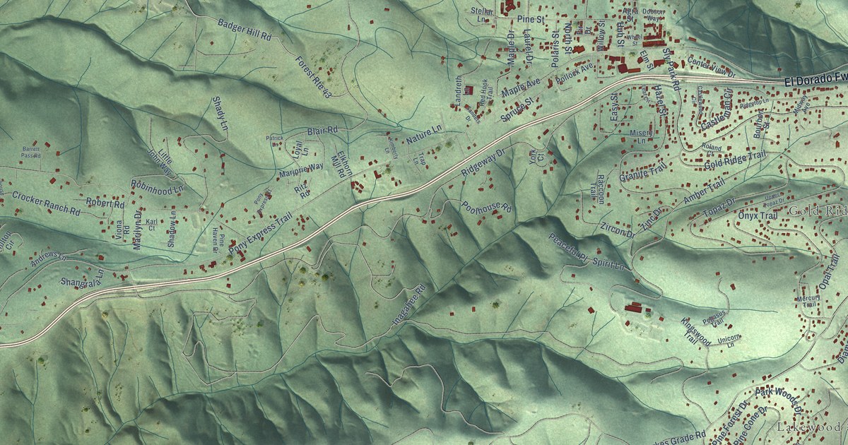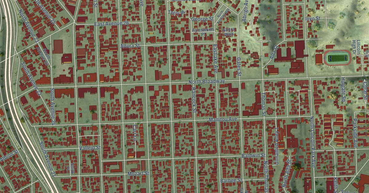
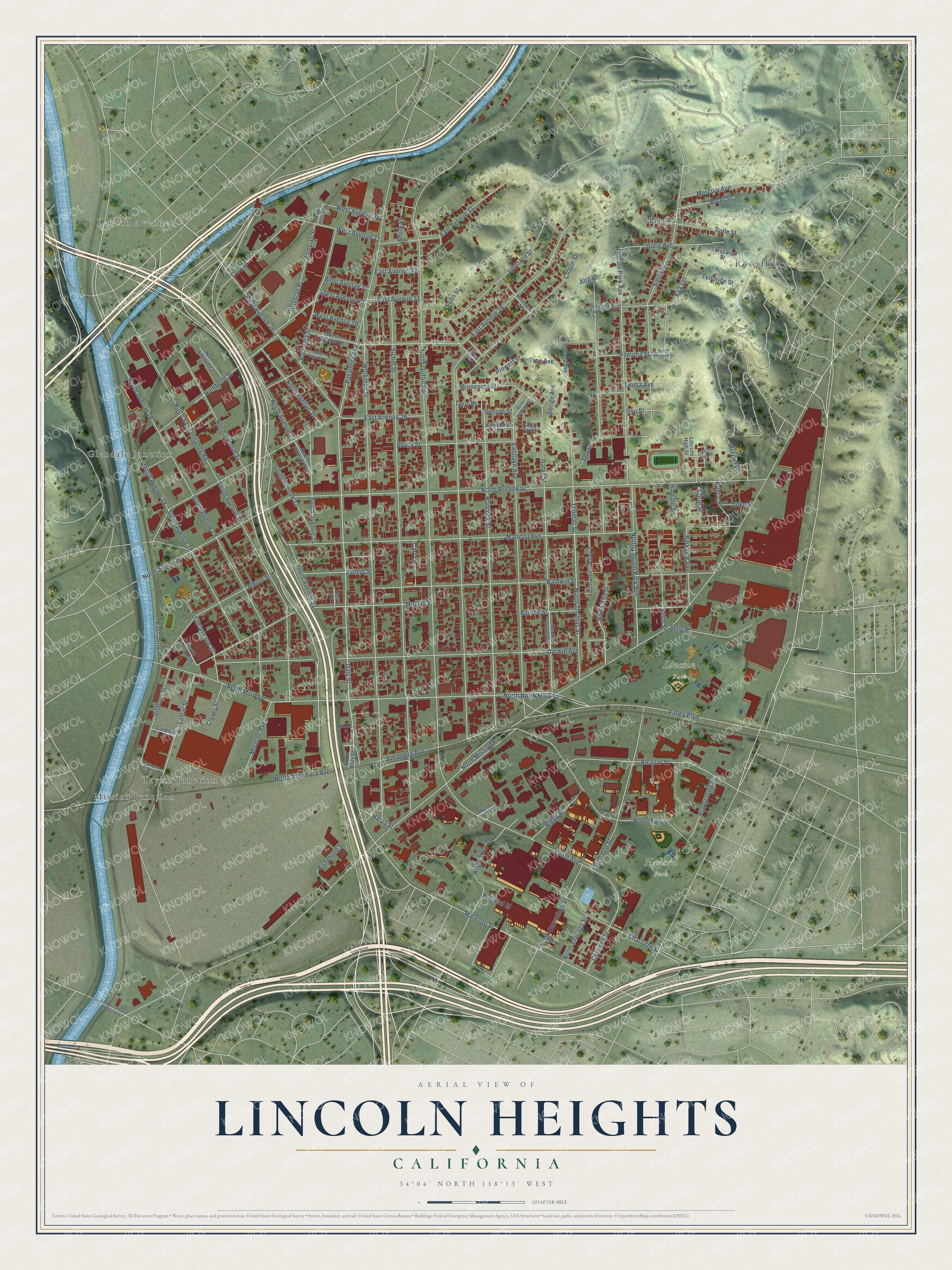
This beautifully detailed map of Lincoln Heights, California was created in 2026 using aerial imagery combined with modern topographical, census, street and landmark data. It's a modern aerial view of Lincoln Heights in Los Angeles County, California, that combines modern data with a vintage aesthetic. The roads feature printed names, and if you look closely you can find your exact house accurately shown in its correct location.
Explore an aerial view of Lincoln Heights, California
On this map you'll find Hazard Park, Lincoln Park, Dayton Avenue, Glendale Junction, Happy Valley, Mission Junction, Rose Hill, Taylor Junction, Daly Street, Marengo Street, Hancock Street, West Avenue 26, and more. Each red shape is a building, so zoom in on the preview and look for yours.
Lincoln Heights is a place in Los Angeles County. The map prints the town name in its title panel, with the coordinates below it.
Take a closer look at the Lincoln Heights map
Names on this map
These names are printed on this map.
Places: Hazard Park, Lincoln Park, Dayton Avenue, Glendale Junction, Happy Valley, Mission Junction, Rose Hill and Taylor Junction.
Streets and roads: Daly Street, Marengo Street, Hancock Street, West Avenue 26, Lacy Street, Alhambra Avenue, North North Main Street, Flora Avenue, Zonal Avenue, North San Fernando Road, Altura Street, Coral Street.
More street names, A to Z
Abrigo Avenue, Albion Street, Alcazar Street, Alta Place, Alta Street, Altura Walk, Artesian Place, Artesian Street, Ashland Avenue, Aylesworth Place, Baldwin Street, Barbee Street, Barranca Street, Biggy Street, Borel Street, Cardinal Street, Carr Lane, Charlotte Street, Clifton Street, Clover Street, Cornwell Street, Darwin Avenue, Duke Street, East Avenue 26, East Avenue 28, East Avenue 31, East Avenue 32, East Avenue 33, East Cesar East Chavez Avenue, East Jetty Street, Eastlake Avenue, Emma Avenue, Eva Terrace, Fenn Street, Fonda Way, Gates Street, George Street, Gibbons Street, Gillig Avenue, Holgate Square, Hospital Place, Humboldt Street, Inyo Street, Johnston Street, Keith Street, Lamar Street, Lincoln High Drive, Lincoln High Place, Lincoln Park Avenue, Manitou Avenue, Manuel Street, Mercury Avenue, Metzler Drive, Minnesota Street, Montecito Street, Moulton Avenue, Mozart Street, Narva Street, Norfolk Street, North Alhambra Avenue, North Alta Street, North Artesian Street, North Avenue 18, North Avenue 19, North Avenue 21, North Avenue 22, North Avenue 23, North Avenue 25, North Broadway, North Chicago Street, North Cummings Street, North Daly Street, North Eastlake Avenue, North Gates Street, North Griffin Avenue, North Henry Street, North Lincoln Park Avenue, North Main Street, North Mission Road, North Place, North Pomona Street, North Spring Street, North State Street, North Thomas Street, Parkside Avenue, Pasadena Avenue, Playground Street, Plaza San Antonio, Pomona Street, Prewett Street, Prince Street, Richmond Street, Rolle Street, San Pablo Street, Selig Place, Sichel Street, Sierra Street, Smith Street, South Avenue 16, South Avenue 17, South Avenue 18, South Avenue 19, South Avenue 20, South Avenue 21, South Avenue 22, South Avenue 23, South Avenue 24, Telluride Street, Terry Place, Thomas Street, Tree Avenue, Turquoise Street, Unnamed Alley 1, Vallejo Street, Valley Boulevard, West Avenue 27, West Avenue 28, West Avenue 29, West Avenue 30, West Avenue 31, West Avenue 33, West Avenue 34, Workman Street.
Created by KNOWOL in 2026. The buildings are small red shapes, the roads carry their printed names, and shaded relief shows the shape of the land. The title panel reads "AERIAL VIEW OF LINCOLN HEIGHTS CALIFORNIA" with 34°04' NORTH 118°13' WEST.
Hang it in the hallway, the office or the cabin, or give it to someone who left Lincoln Heights and still calls it home. Open the preview and look for a street you know. See sizes and frames for the Lincoln Heights map.