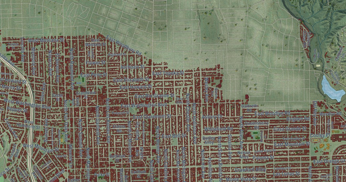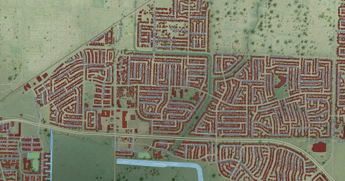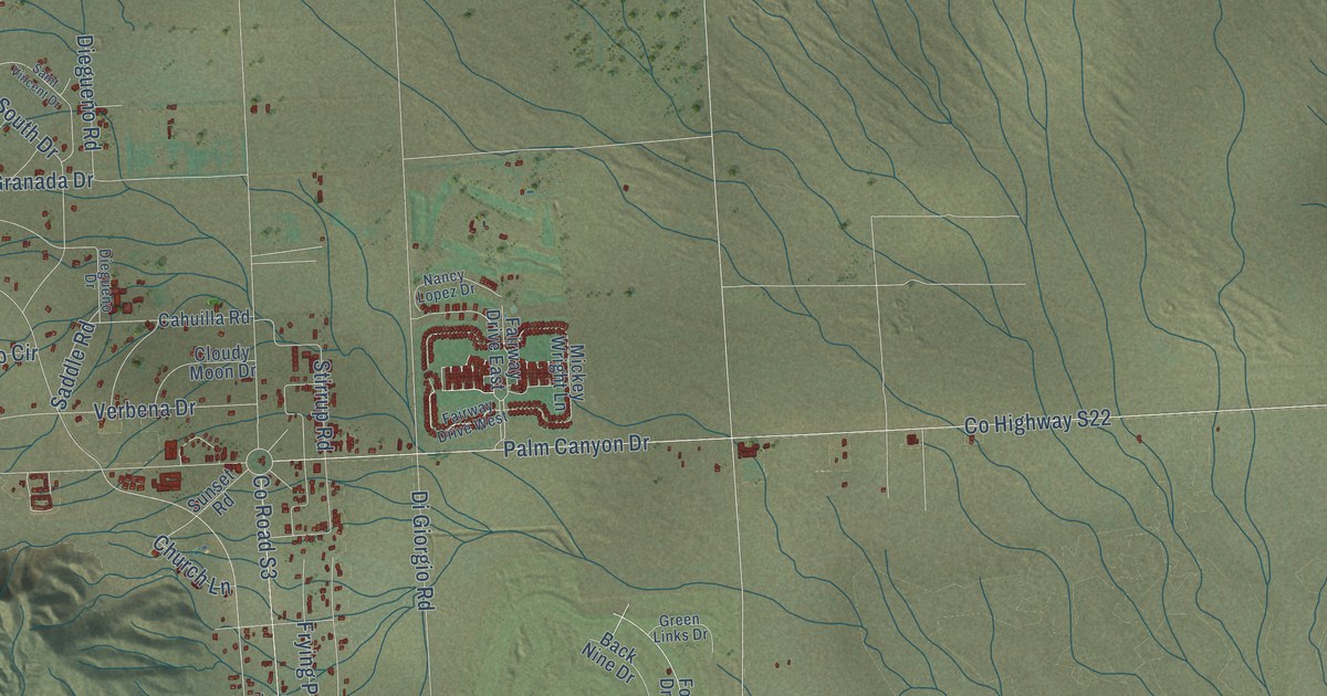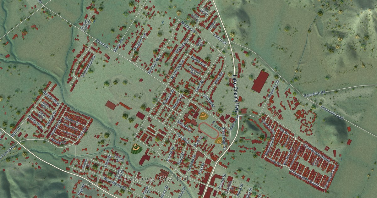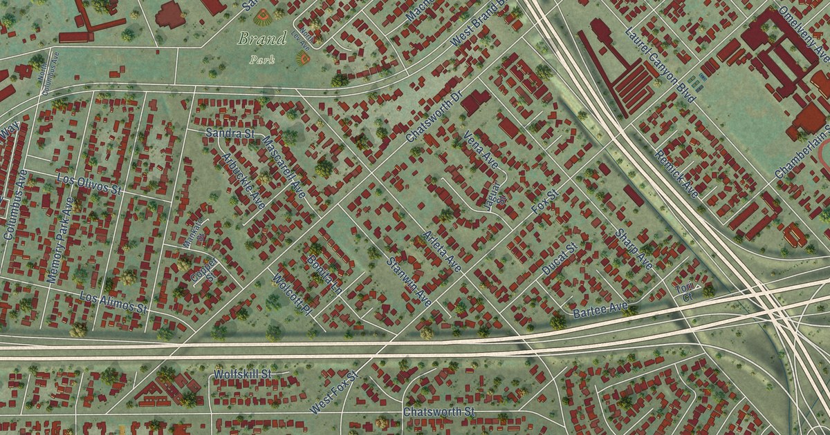
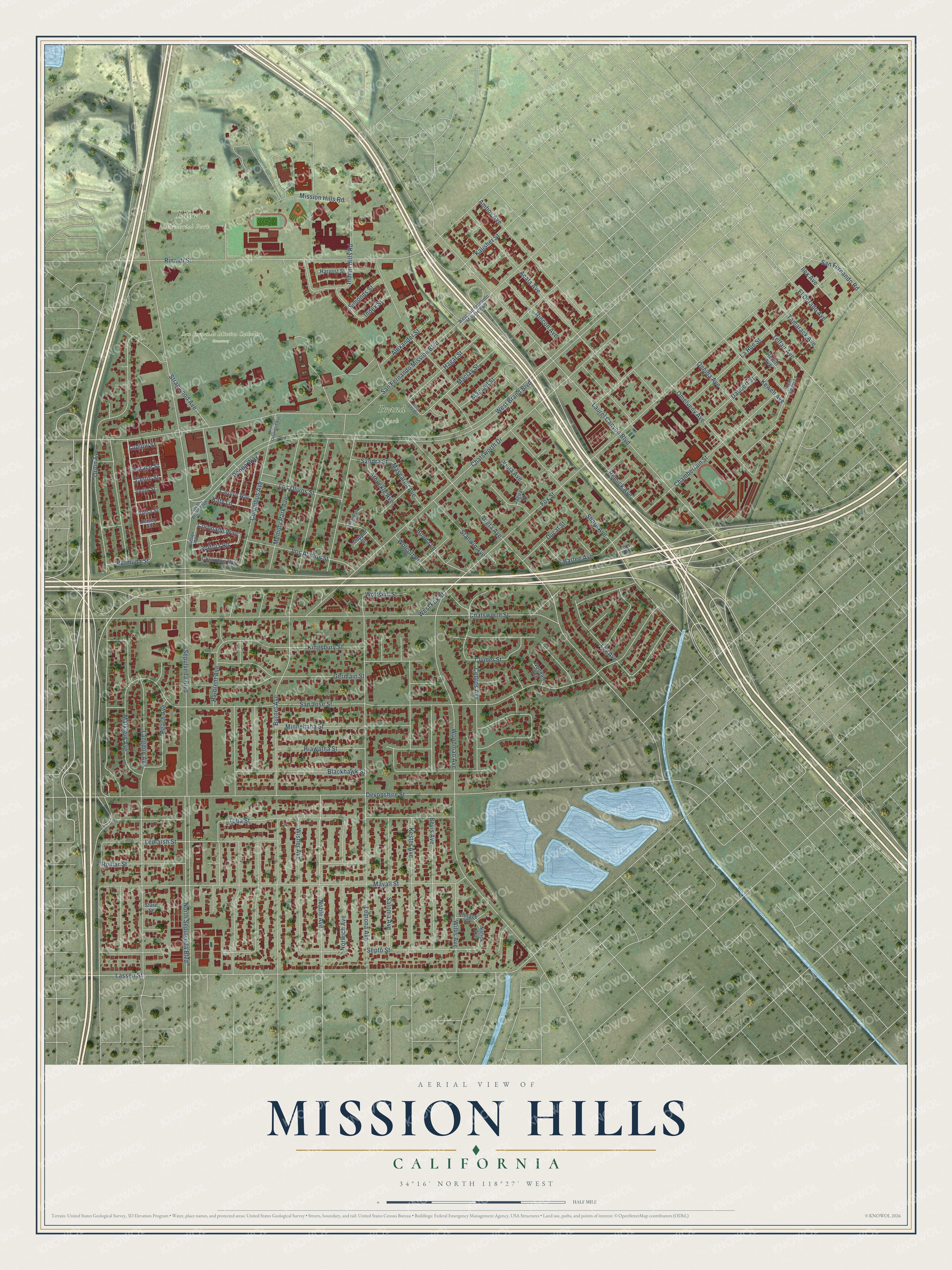
This beautifully detailed map of Mission Hills, California was created in 2026 using aerial imagery combined with modern topographical, census, street and landmark data. It's a modern aerial view of Mission Hills in Los Angeles County, California, that combines modern data with a vintage aesthetic. The roads feature printed names, and if you look closely you can find your exact house accurately shown in its correct location.
Explore an aerial view of Mission Hills, California
On this map you'll find Brand Park, Eden Memorial Park, San Fernando Mission Catholic Cemetery, Maclay Street, Chamberlain Street, Bartee Avenue, Hagar Street, Arleta Avenue, Tuba Street, Stanwin Avenue, Kalisher Street, Katy Lane, and more. Each red shape is a building, so zoom in on the preview and look for yours.
Mission Hills has a story worth telling. The record at ohp.parks.ca.gov puts it this way: "An adobe chapel, built and blessed in December 1806, was damaged by the destructive earthquake of 1812 – a new church was completed in 1818."
Mission Hills is a place in Los Angeles County.
Take a closer look at the Mission Hills map
Names on this map
These names are printed on this map.
Places: Brand Park, Eden Memorial Park and San Fernando Mission Catholic Cemetery.
Streets and roads: Maclay Street, Chamberlain Street, Bartee Avenue, Hagar Street, Arleta Avenue, Tuba Street, Stanwin Avenue, Kalisher Street, Katy Lane, West Brand Boulevard, Sepulveda Boulevard, San Jose Street.
More street names, A to Z
Acala Avenue, Alexander Street, Amboy Avenue, Arbuckle Avenue, Balboa Road, Bermuda Street, Bevis Avenue, Blackhawk Street, Bonita Lane, Burnet Avenue, Carolyn Way, Cedros Avenue, Celtic Street, Chatsworth Drive, Chatsworth Street, Clymer Street, Columbus Avenue, Columbus Way, Copper Street, Coronado Way, Daubert Street, Devonshire Street, Donna Way, Ducat Street, El Dorado Avenue, Fox Street, Germain Street, Halbrent Avenue, Harvest Street, Hewitt Avenue, Hiawatha Street, Horace Street, Ilex Avenue, Index Street, Indian Hills Road, Jaguar Street, Jersey Street, Jonfin Street, Kester Avenue, Kewen Avenue, Kingsbury Street, Langdon Avenue, La Rue Street, Lassen Street, Laurel Canyon Boulevard, Lemarsh Street, Lemona Avenue, Lev Avenue, Los Alimos Street, Los Olivos Street, Ludlow Street, Macneil Street, Mankato Street, Marklein Avenue, Mascarell Avenue, Mayall Street, Memory Park Avenue, Minnehaha Street, Mission Hills Road, Natick Avenue, Noble Avenue, North Columbus Avenue, North Lev Avenue, North Sepulveda Boulevard, Norwich Avenue, Omelveny Avenue, Oneida Avenue, Orion Avenue, Peach Avenue, Portola Road, Remick Avenue, Rinaldi Street, Rincon Avenue, Romar Street, Saloma Avenue, Sandra Street, San Fernando Mission Boulevard, San Fernando Road, Septo Street, Sharp Avenue, Simonds Street, South Brand Boulevard, Stare Street, Stranwood Avenue, Tamarack Avenue, Telfair Avenue, Tori Court, Tulsa Street, Vena Avenue, Vintage Street, West Fox Street, West Ginger Lane, West San Fernando Mission Boulevard, Willis Avenue, Wisner Avenue, Wolcott Place, Wolfskill Street, Woodale Avenue, Woodman Avenue.
Created by KNOWOL in 2026. The buildings are small red shapes, the roads carry their printed names, and shaded relief shows the shape of the land. The title panel reads "AERIAL VIEW OF MISSION HILLS CALIFORNIA" with 34°16' NORTH 118°27' WEST.
It looks right in a kitchen, an office or a den, and it's a gift for anyone who grew up in Mission Hills or moved away. Open the preview and find your street. See sizes and frames for the Mission Hills map.