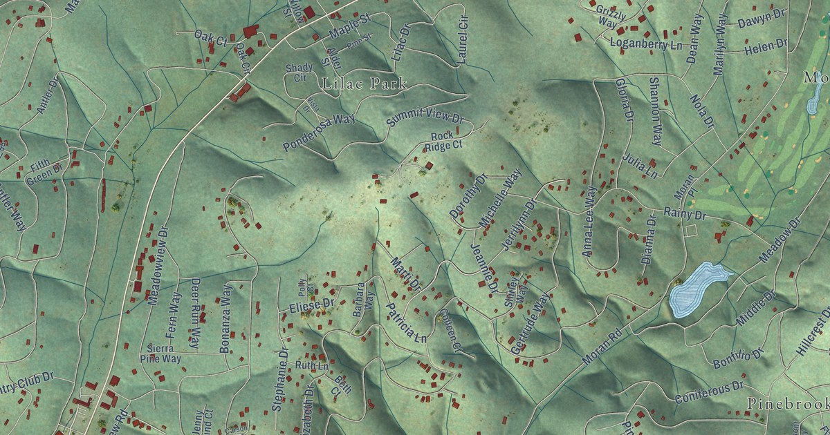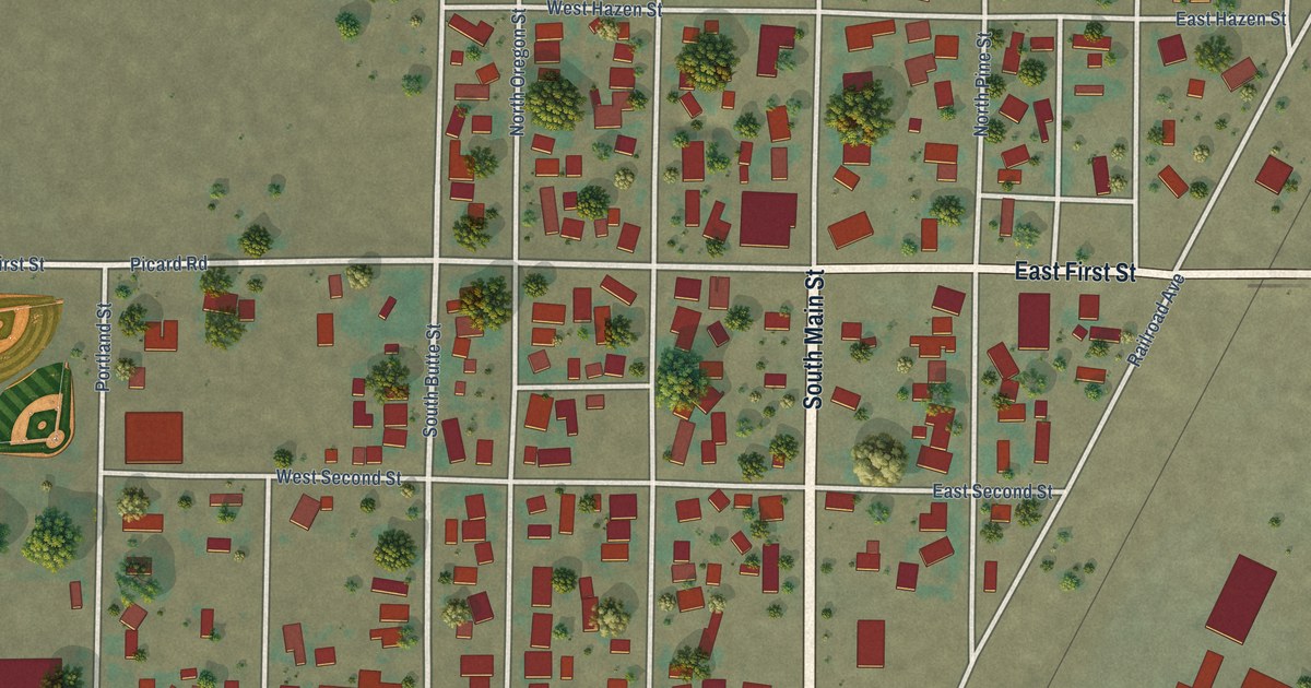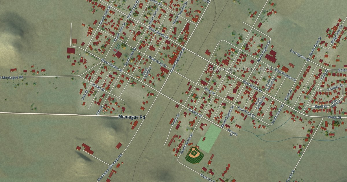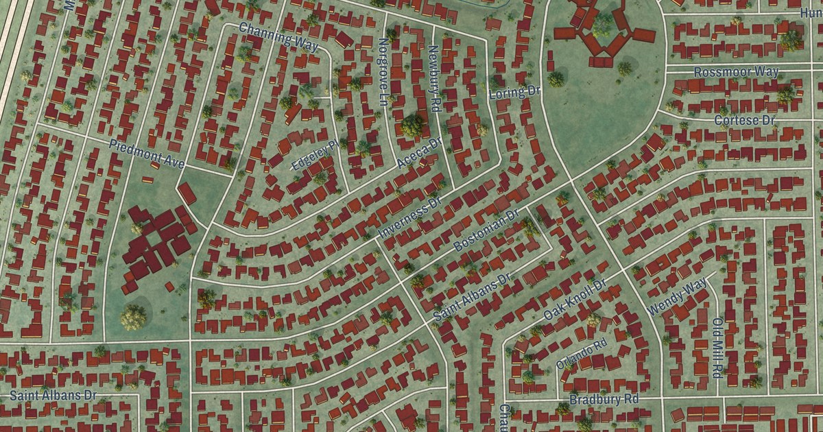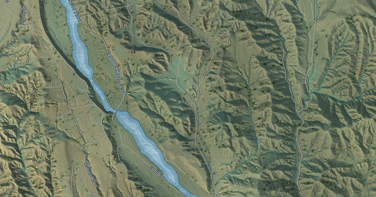
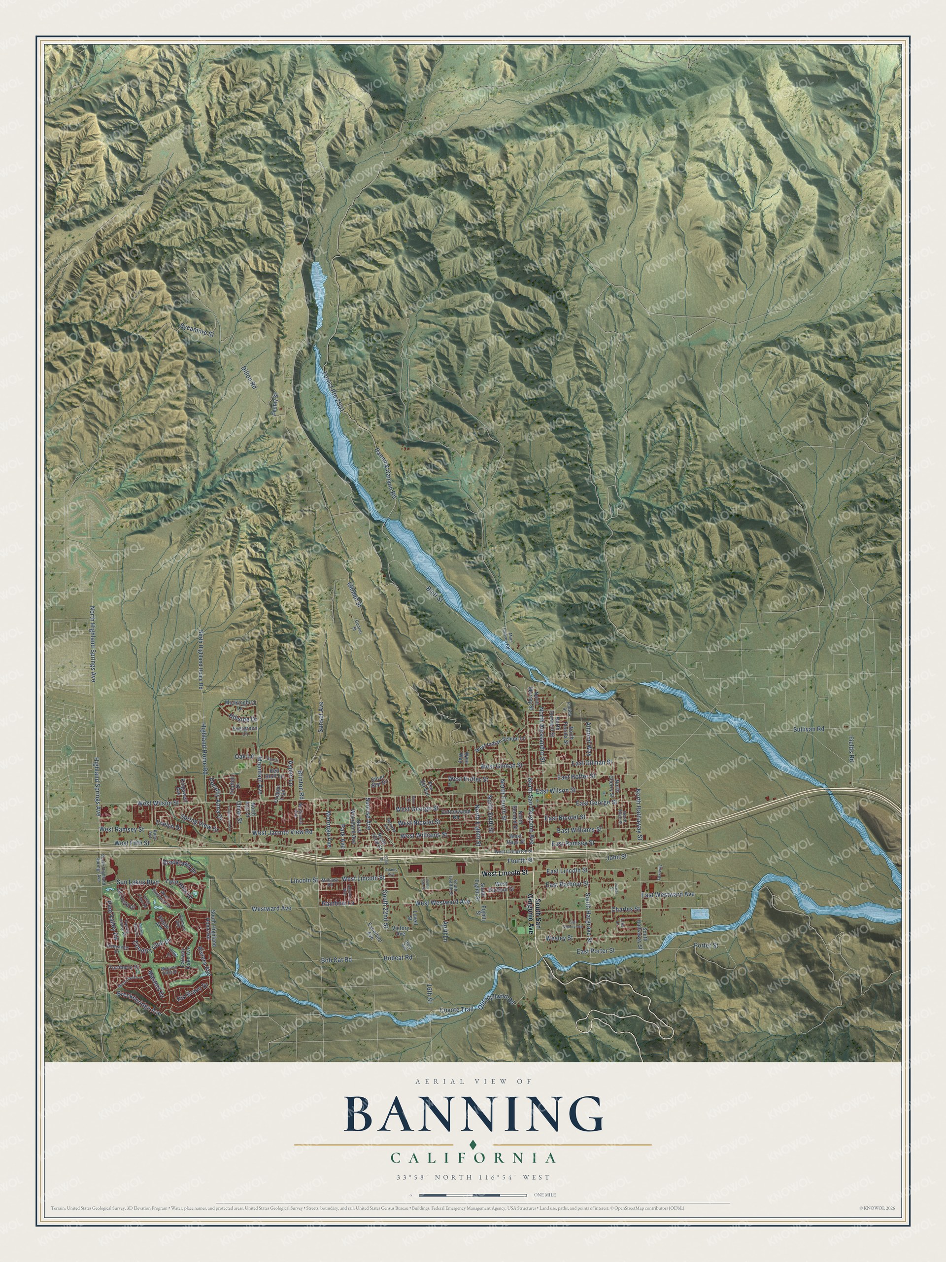
This beautifully detailed map of Banning, California was created in 2026 using aerial imagery combined with modern topographical, census, street and landmark data. It's a modern aerial view of Banning in Riverside County, California, that combines modern data with a vintage aesthetic. The roads feature printed names, and if you look closely you can find your exact house accurately shown in its correct location.
Explore an aerial view of Banning, California
On this map you'll find Highland Home Road, West Lincoln Street, Lincoln Street, South 22nd Street, East Gilman Street, Old Idyllwild Road, Sunrise Avenue, North San Gorgonio Avenue, Sun Lakes Boulevard, Gilman Street, Coyote Trail, Bluff Street, and more. Each red shape is a building, so zoom in on the preview and look for yours.
Every town has a first chapter, and Banning is no exception. The Riverside County History puts it this way: "The first women's club in Banning was the Saturday Afternoon Club, which was founded in 1904, affiliated with the C. F. W. C. in 1905, and in 1909, in order to better control property consisting of real estate, was incorporated under the laws of the state."
Banning is a city in Riverside County. The Census Bureau counted 29,505 people here in 2020.
Take a closer look at the Banning map
Names on this map
These names are printed on this map.
Streets and roads: Highland Home Road, West Lincoln Street, Lincoln Street, South 22nd Street, East Gilman Street, Old Idyllwild Road, Sunrise Avenue, North San Gorgonio Avenue, Sun Lakes Boulevard, Gilman Street, Coyote Trail, Bluff Street.
More street names, A to Z
16th Street, 22nd Street, Adams Avenue, Allin Lane, Almond Way, Apex Avenue, April Lane, Aspen Lane, Autumn Way, Banning Canyon Road, Bobcat Road, Bob Cat Road, Breckenridge Avenue, Brinton Road, Brooklawn Drive, Charles Street, Cottonwood Road, Country Club Drive, Cypress Street, Dillon Road, Dorothy Anna Drive, East Barbour Street, East George Street, East Hoffer Street, East Lincoln Street, East Nicolet Street, East Porter Street, East Ramsey Street, East Victory Avenue, East Westward Avenue, East Williams Street, East Wilson Street, Eighth Street, Evelyn Drive, Evergreen Lane, Excelsior Avenue, Fairway Oaks Avenue, Falling Leaf Lane, Fields Road, Florida Street, Foothill Drive, Fourth Street, Geneva Avenue, Gleneagles Drive, Gunner Street, Hale Avenue, Highland Springs Avenue, Hillside Drive, Hogan Avenue, John Street, Juarez Street, Kingswell Avenue, La Costa Drive, Laguna Seca Court, Lisa Lane, Lovell Street, Masters Drive, Mc Govern Avenue, Mias Canyon Road, Mission Hills Drive, Mockingbird Lane, Mohawk Road, Morongo Avenue, Mountain Avenue, Myrtle Beach Drive, North 22nd Street, North 41st Street, North Alessandro Street, North Allen Street, North Cherry Street, North Durward Street, North Eighth Street, North Florida Street, North Fourth Street, North Hathaway Street, North Highland Home Road, North Highland Springs Avenue, North Murray Street, North Second Street, North Sixth Street, North Woodland Avenue, Oak Lane, Olympic Avenue, Omar Street, Oregon Trail, Park Avenue, Pauma Valley Road, Pedley Street, Pine Valley Road, Porter Street, Pso del Sol, Rainbow Lane, Red Bluff Lane, Rio Bravo Drive, Riviera Avenue, Silver Star Drive, Sims Street, South 16th Street, South Eighth Street, South Hargrave Street, South Hathaway Street, South Highland Home Road, South Highland Springs Avenue, South San Gorgonio Avenue, South Twelfth Street, Spring View Drive, Sullivan Road, Sunset Avenue, Sycamore Street, Taxiway, Torrey Pines Road, Turnberry Drive, Twin Hills Drive, Victory Avenue, Wesley Street, West Barbour Street, West Fifth Street, West George Street, West Gilman Street, West Hays Street, West Hoffer Street, West Indian School Lane, West Jacinto View Road, West Livingston Street, West Nicolet Street, West Pinehurst Drive, West Ramsey Street, Westward Avenue, West Westward Avenue, West Williams Street, West Wilson Street, Wyte Way.
Created by KNOWOL in 2026. The buildings are small red shapes, the roads carry their printed names, and shaded relief shows the shape of the land. The title panel reads "AERIAL VIEW OF BANNING CALIFORNIA" with 33°58' NORTH 116°54' WEST.
Hang it in the hallway, the office or the cabin, or give it to someone who left Banning and still calls it home. Open the preview and look for a street you know. See sizes and frames for the Banning map.