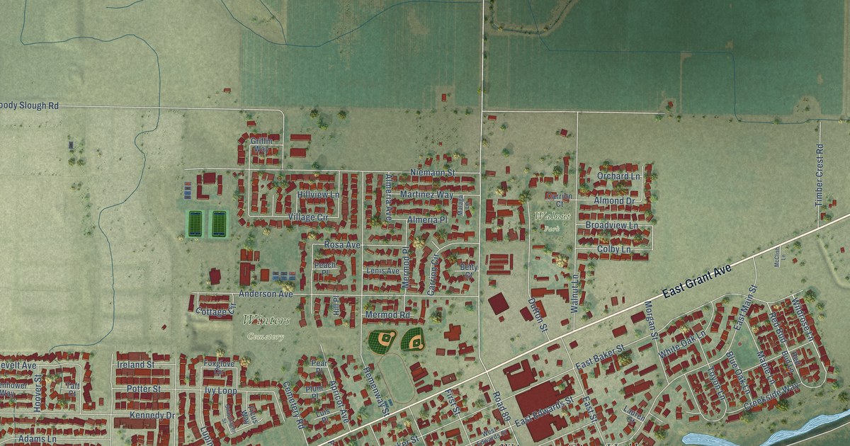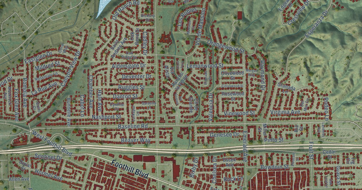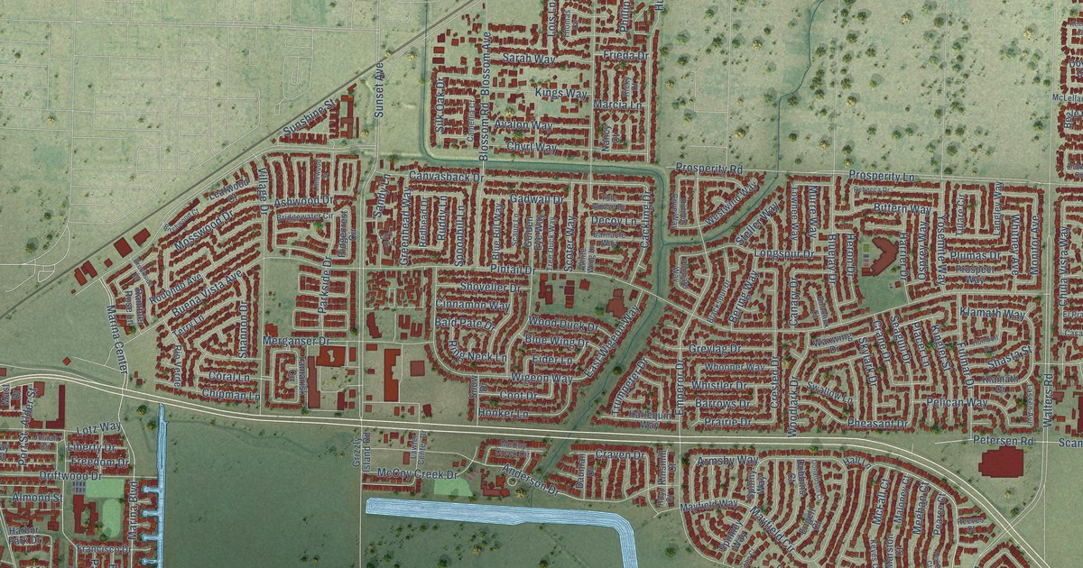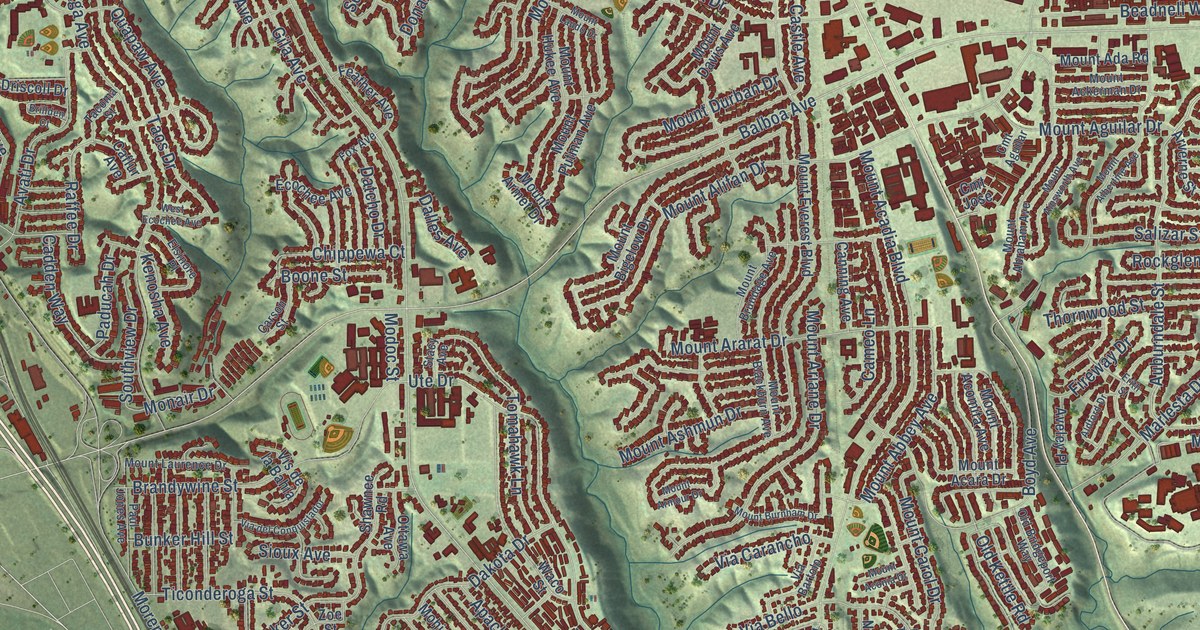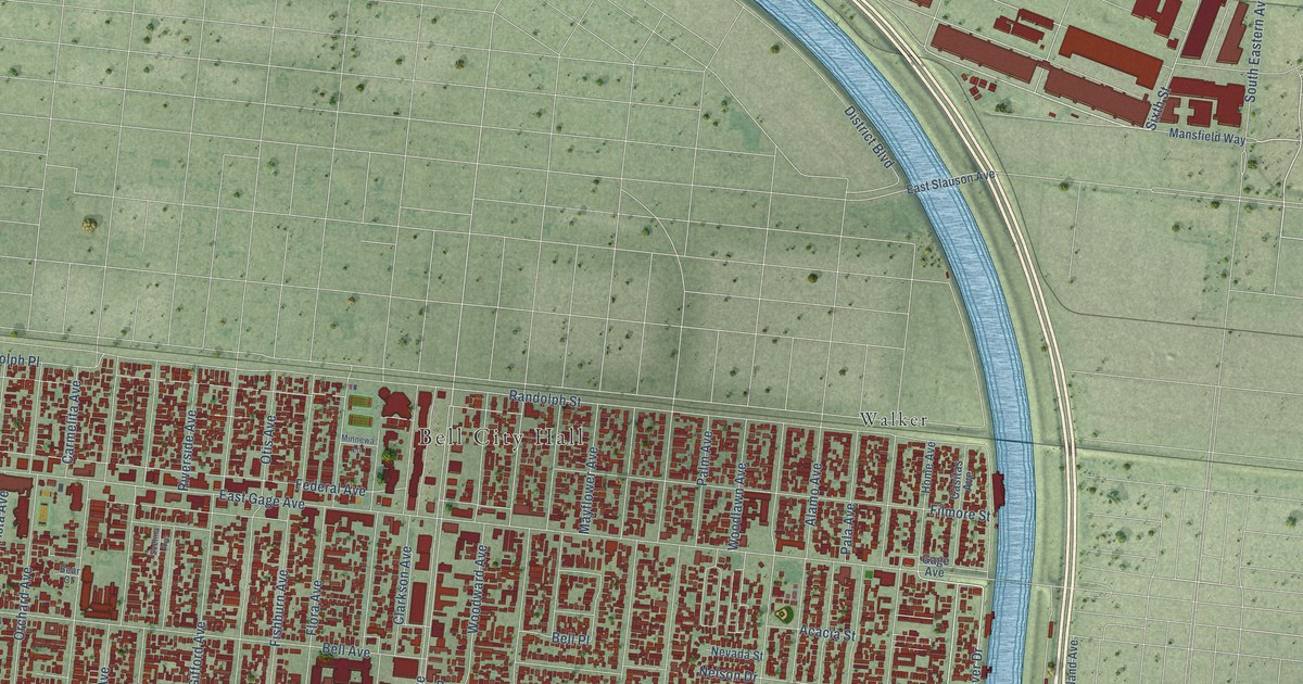
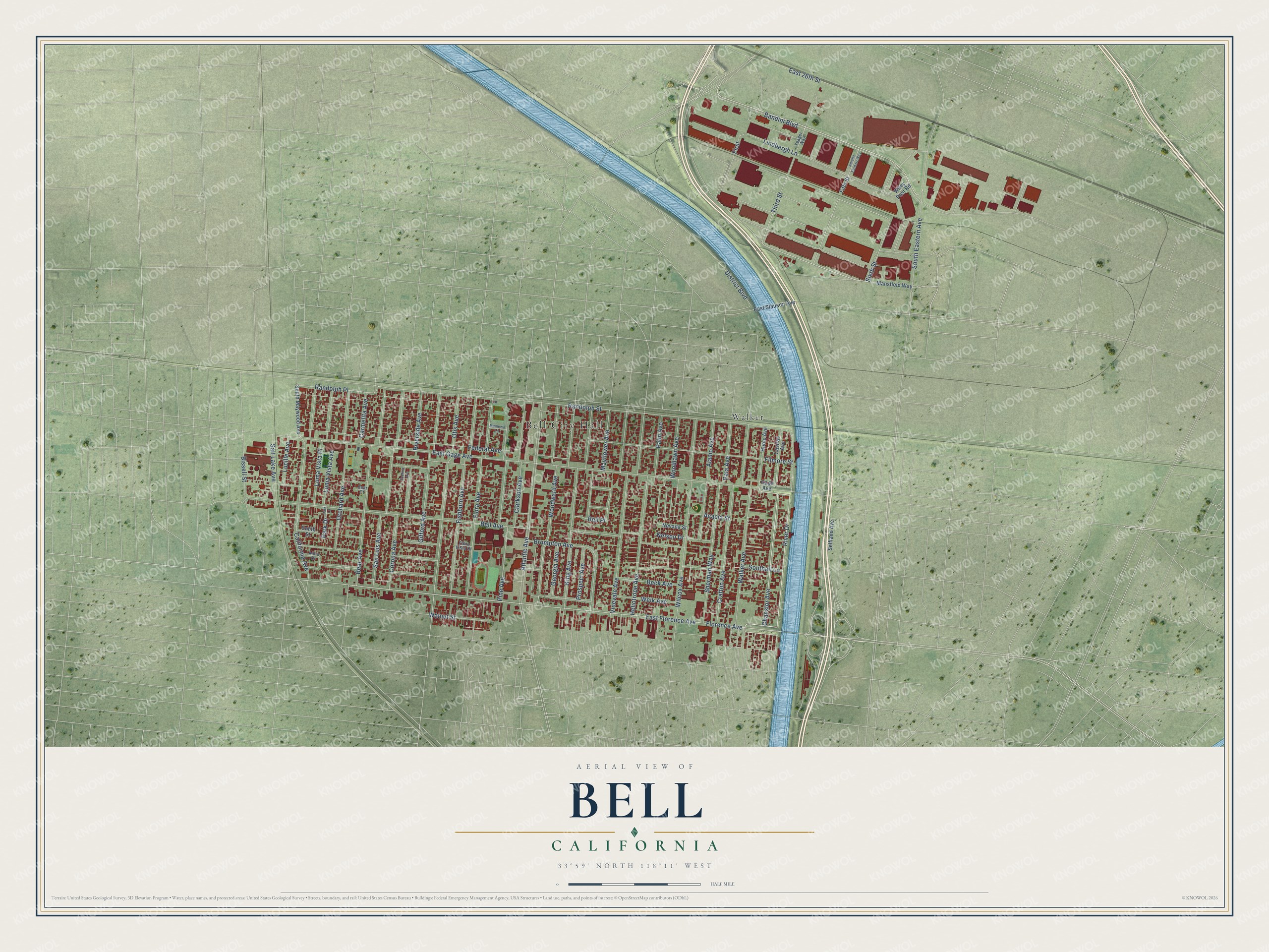
This beautifully detailed map of Bell, California was created in 2026 using aerial imagery combined with modern topographical, census, street and landmark data. It's a modern aerial view of Bell in Los Angeles County, California, that combines modern data with a vintage aesthetic. The roads feature printed names, and if you look closely you can find your exact house accurately shown in its correct location.
Explore an aerial view of Bell, California
On this map you'll find Bell City Hall, Walker, River Drive, Chanslor Avenue, Atlantic Avenue, Sixth Street, California Avenue, Randolph Street, East Florence Avenue, Florence Avenue, East Gage Avenue, Bell Avenue, and more. Each red shape is a building, so zoom in on the preview and look for yours.
Bell is a city in Los Angeles County. The Census Bureau counted 33,559 people here in 2020. The map prints the town name in its title panel, with the coordinates below it.
Take a closer look at the Bell map
Names on this map
These names are printed on this map.
Places: Bell City Hall and Walker.
Streets and roads: River Drive, Chanslor Avenue, Atlantic Avenue, Sixth Street, California Avenue, Randolph Street, East Florence Avenue, Florence Avenue, East Gage Avenue, Bell Avenue, Bandini Boulevard, Federal Avenue.
More street names, A to Z
Acacia Street, Alamo Avenue, Amelia Earhart Way, Anita Drive, Bear Avenue, Bear Court, Beck Avenue, Bell Place, Bissell Street, Brompton Avenue, Carmelita Avenue, Casitas Avenue, Clarkson Avenue, Corona Avenue, Crafton Avenue, District Boulevard, East 26th Street, East Slauson Avenue, Fifth Street, Filmore Street, First, Fishburn Avenue, Flora Avenue, Flora Vista Drive, Gage Avenue, Georgia Avenue, Gifford Avenue, Heliotrope Avenue, Home Avenue, King Avenue, Lindbergh Lane, Loma Vista Avenue, Loma Vista Place, Lucille Avenue, Mansfield Way, Mayflower Avenue, Minnewa Lane, Nelson Drive, Nevada Street, Orchard Avenue, Otis Avenue, Pala Avenue, Palm Avenue, Park Drive, Park Lane, Pine Avenue, Prospect Avenue, Randolph Place, Riverside Avenue, Salt Lake Avenue, San Luis Avenue, Scelina Avenue, Selfland Avenue, Sherman Way, Smith Street, Southall Lane, South Eastern Avenue, South Maywood Avenue, Third Street, Vinevale Avenue, Walker Avenue, Walnut Street, Weik Avenue, Wilcox Avenue, Wiley Post Road, Woodlawn Avenue, Woodward Avenue, Yeager Way.
Created by KNOWOL in 2026. The buildings are small red shapes, the roads carry their printed names, and shaded relief shows the shape of the land. The title panel reads "AERIAL VIEW OF BELL CALIFORNIA" with 33°59' NORTH 118°11' WEST.
It suits a den, a classroom or a front hall, and it makes a gift for anyone with Bell roots. Open the preview and find the block you know. See sizes and frames for the Bell map.