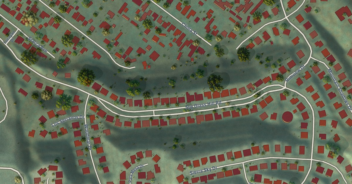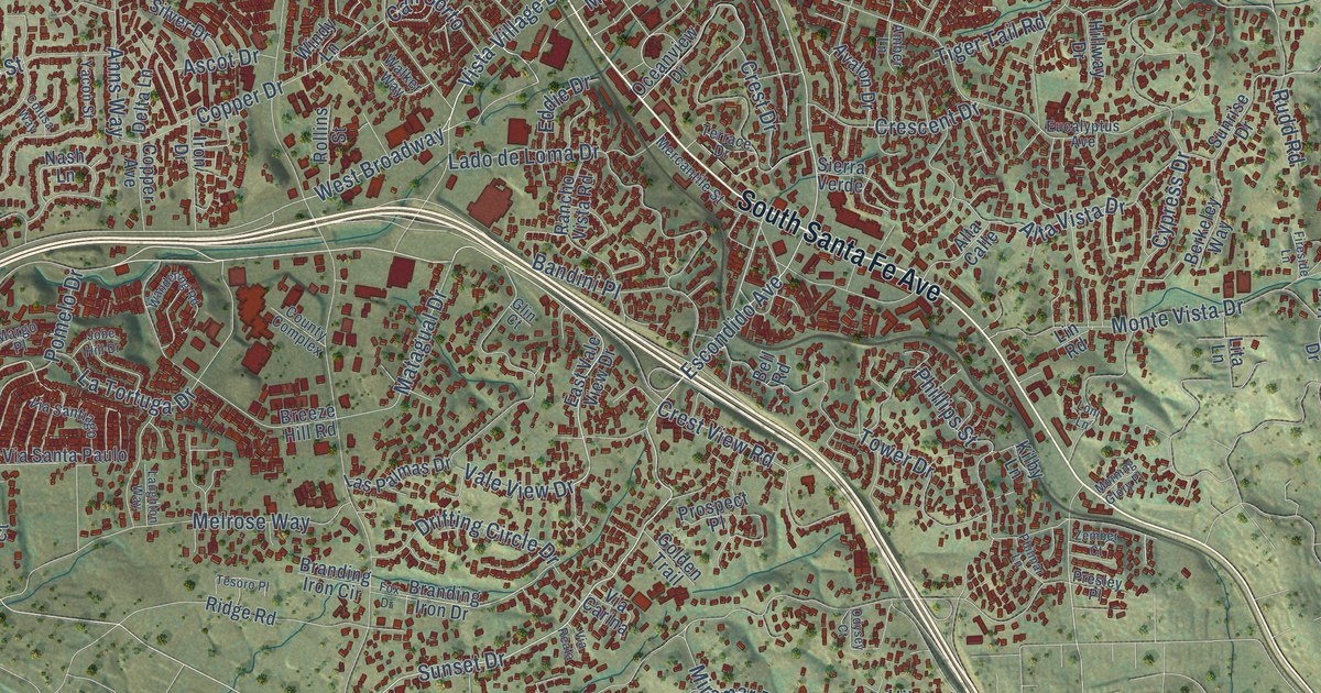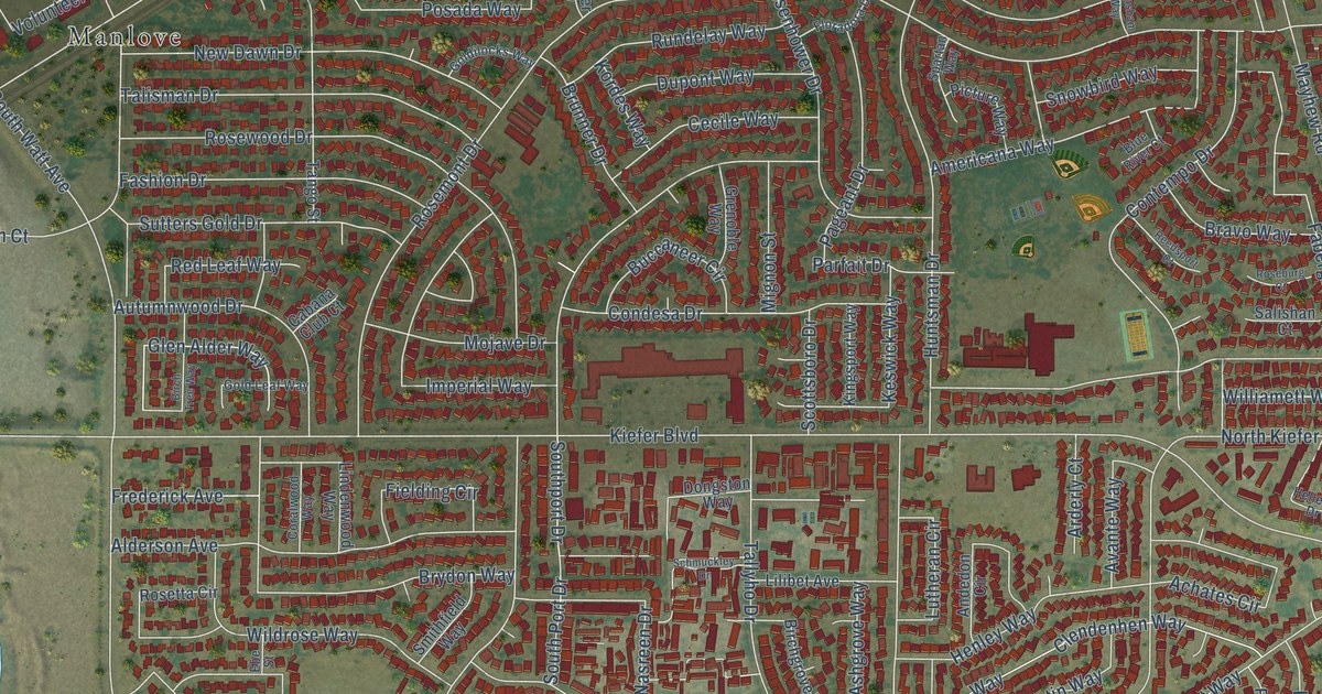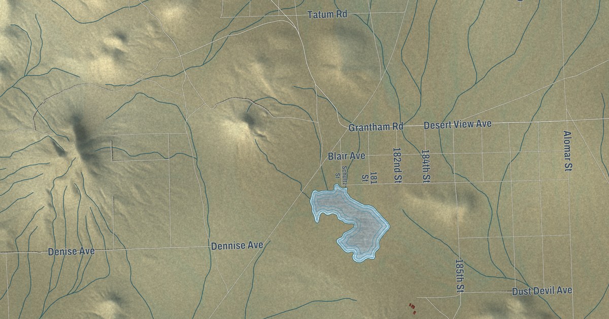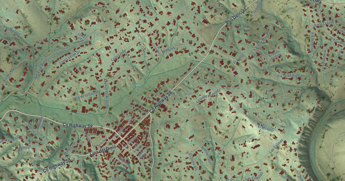
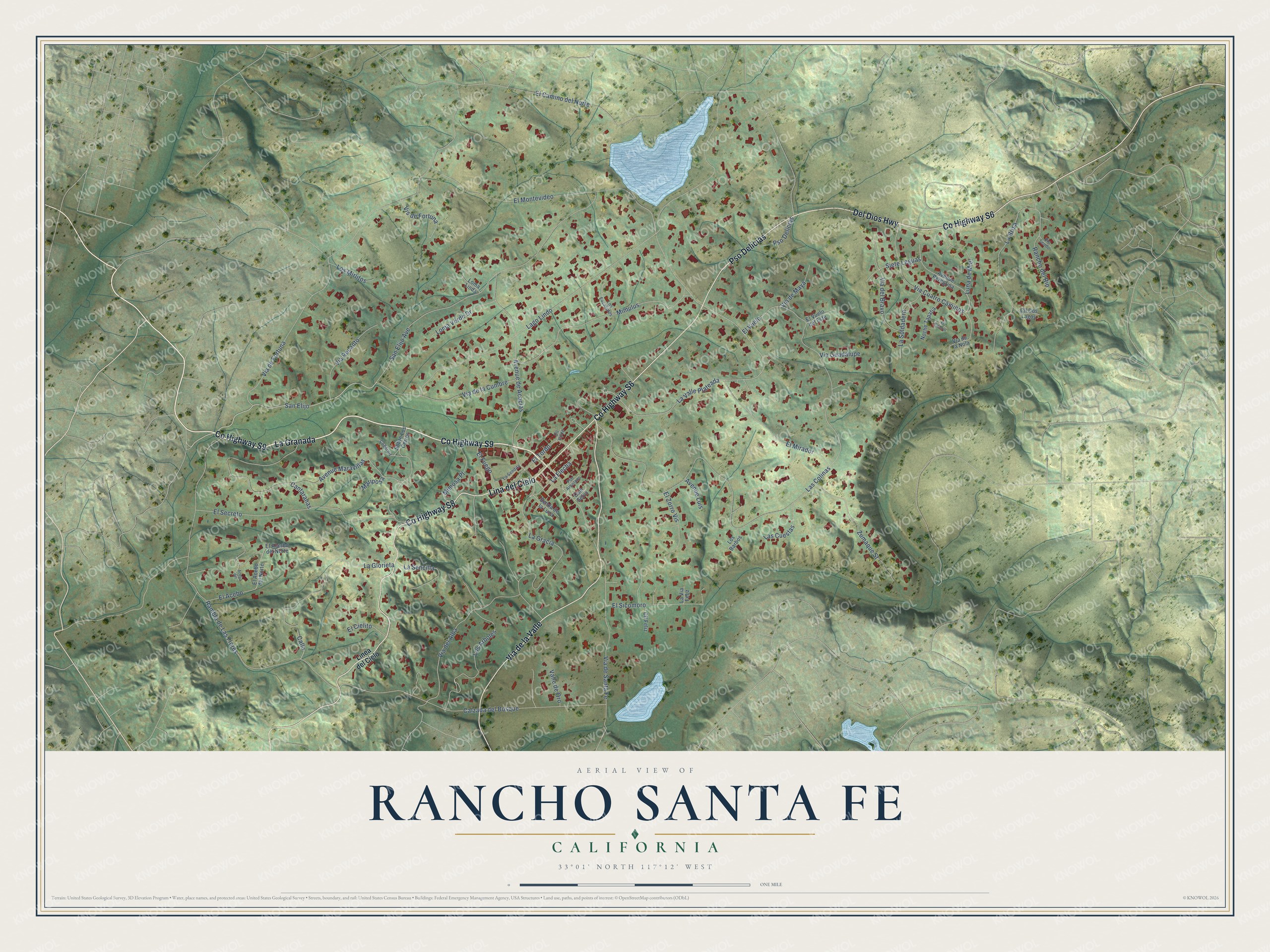
This beautifully detailed map of Rancho Santa Fe, California was created in 2026 using aerial imagery combined with modern topographical, census, street and landmark data. It's a modern aerial view of Rancho Santa Fe in San Diego County, California, that combines modern data with a vintage aesthetic. The roads feature printed names, and if you look closely you can find your exact house accurately shown in its correct location.
Explore an aerial view of Rancho Santa Fe, California
On this map you'll find La Granada, Co Highway S6, Pso Delicias, Co Highway S9, Co Highway S8, Lina del Cielo, Via de la Valle, Del Dios Highway, San Elijo Avenue, San Elijo, Los Arboles, La Valle Plateada, and more. Each red shape is a building, so zoom in on the preview and look for yours.
Every town has a first chapter, and Rancho Santa Fe is no exception. The California Office of Historic Preservation puts it this way: "Rancho Santa Fe began as Rancho San Dieguito, a land grant of nearly 9,000 acres made to Juan María Osuna in 1845. The Santa Fe Railway Company later used the land to plant thousands of eucalyptus trees for use as railroad ties." In the 1920s it became one of the state's first planned communities unified by one style, the Spanish Colonial Revival. Lilian Rice, one of California's first successful women architects, supervised the work and designed many of its buildings.
Rancho Santa Fe is a community in San Diego County. The Census Bureau counted 3,156 people here in 2020.
Take a closer look at the Rancho Santa Fe map
Names on this map
These names are printed on this map.
Streets and roads: La Granada, County Highway S6, Pso Delicias, County Highway S9, County Highway S8, Lina del Cielo, Via de la Valle, Del Dios Highway, San Elijo Avenue, San Elijo, Los Arboles, La Valle Plateada.
More street names, A to Z
Acebo del, Avenue de Acacias, Avenue Luis, Avenue Maravillas, Avenue Peregrina, Calle, Calzada del Bosque, Cam Selva, Cantaranas, Cll Corte, Cll Dos Lagos, Cll Feliz, Codorniz, El Acebo, El Acebo del Norte, El Acerbo del Norte, El Camino del Norte, El Caporal, El Cielito, El Fuego, El Mirador, El Montevideo, El Secreto, El Sicomoro, El Tordo, El Vuelo, El Vuelo del Este, El Zorro Vis, La Brisa, La Flecha, La Glorieta, Lago Lindo, La Gracia, Las Colinas, Las Cuestas, La Sencilla, La Sendita, La Soldadera, La Via Feliz, Linea del Cielo, Loma Linda, Loma Verde Drive, Los Barbos, Los Eucaliptos, Los Mirlitos, Luna de Miel, Mariposa, Mimosa Place, Mimulus, Noche Tapatia, Pso Arbolado, Rambla de Las Flores, Rancho del Rio, Rio Sendo, Senda de la Luna, Siete Leguas, Sobre Los Cerros, Valle de Oro, Via Cuatro Caminos, Via de Fortuna, Via de la Cumbre, Via del Alba, Via de la Nola, Via del Bravo, Via de Maya, Via de Santa Fe, Via Guadalupe, Via Recanto, Vis de Fortuna, Zumaque Street.
See it on a wall
The Rancho Santa Fe map as a framed print. Swipe for more.


Created by KNOWOL in 2026. The buildings are small red shapes, the roads carry their printed names, and shaded relief shows the shape of the land. The title panel reads "AERIAL VIEW OF RANCHO SANTA FE, CALIFORNIA" with 33°01' NORTH 117°12' WEST.
Hang it in the hallway, the office or the cabin, or give it to someone who left Rancho Santa Fe and still calls it home. Open the preview and look for a street you know. See sizes and frames for the Rancho Santa Fe map.