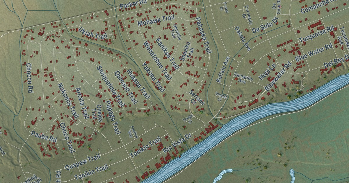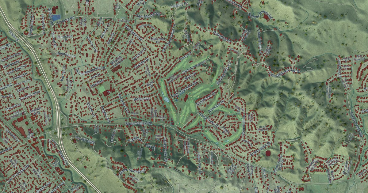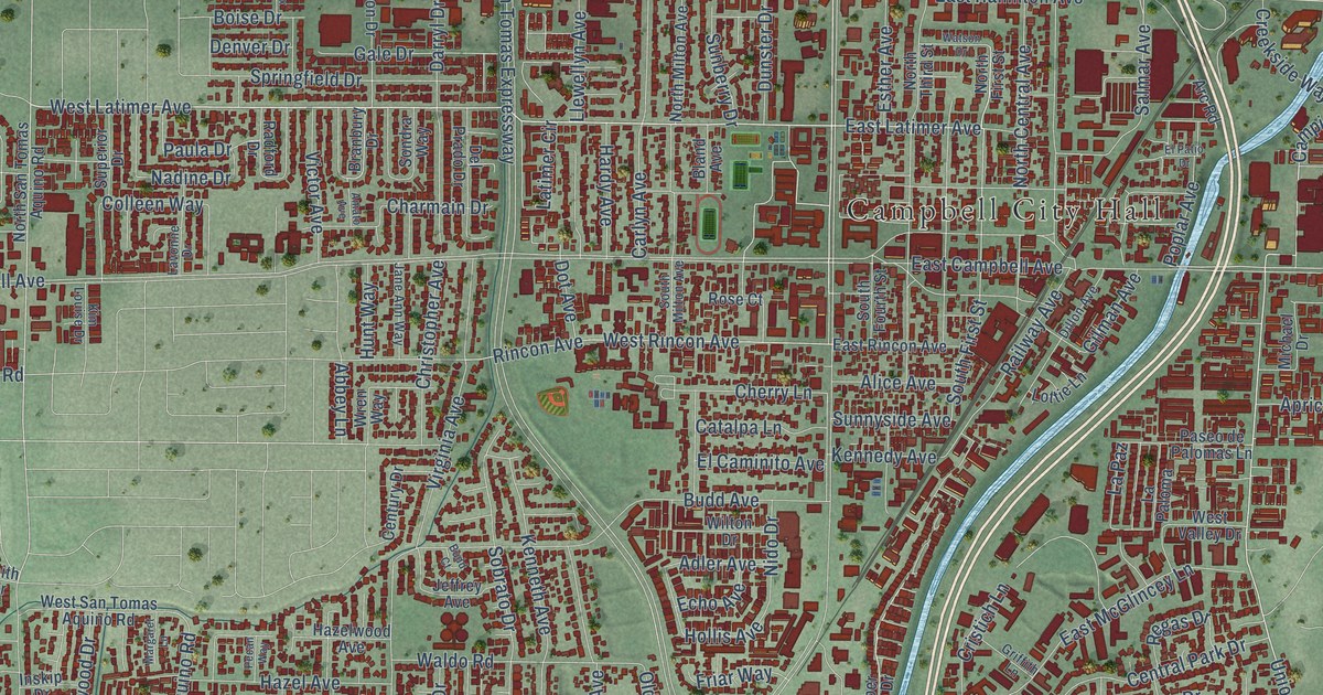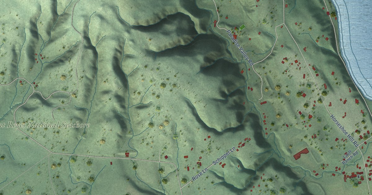
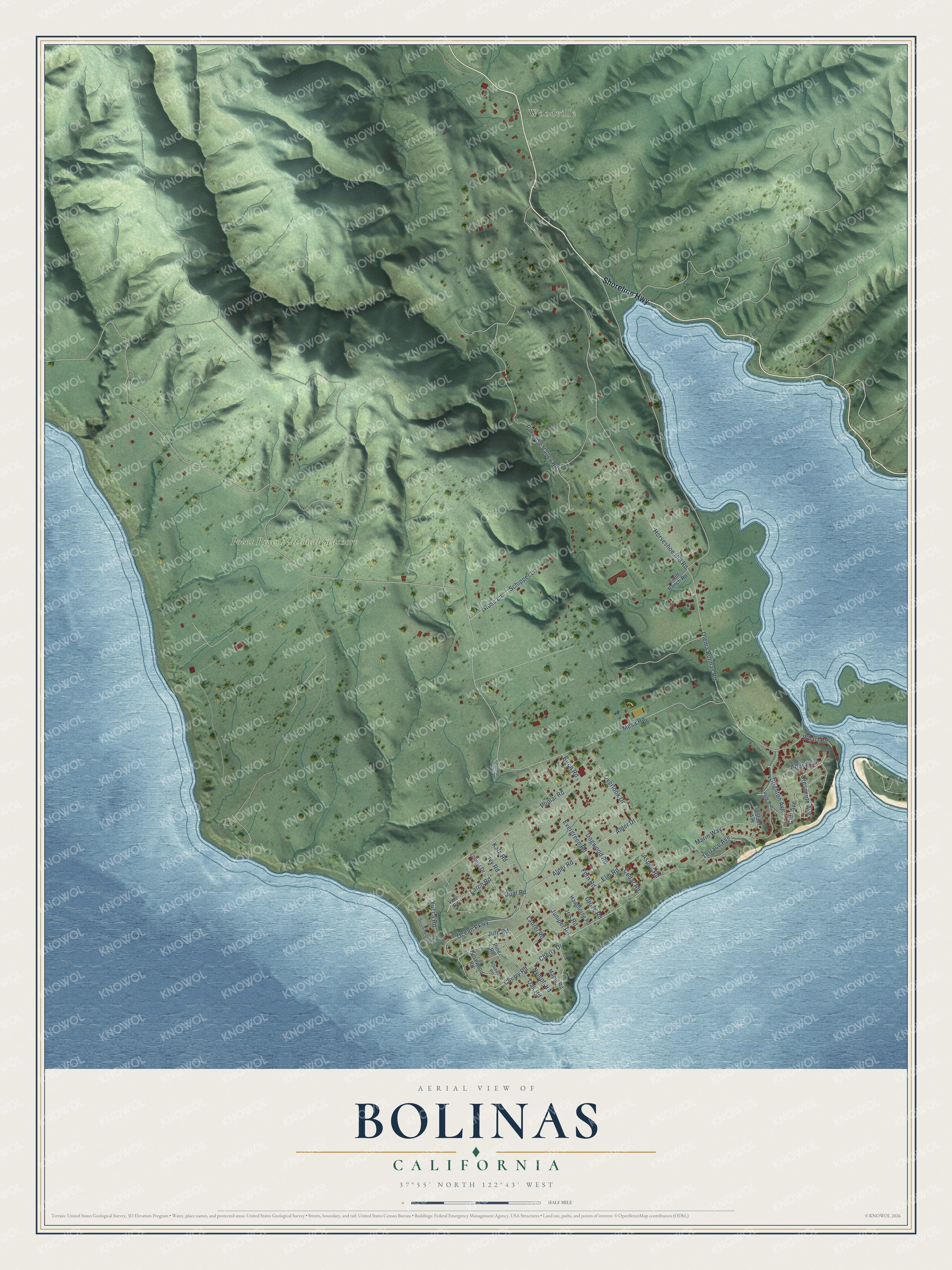
This beautifully detailed map of Bolinas, California was created in 2026 using aerial imagery combined with modern topographical, census, street and landmark data. It’s a one-of-a-kind view of Bolinas that combines accurate data with a vintage aesthetic. The map shows every building in its true location, many of the roads carry their names, and the shaded topographic relief shows the shape of the land.
Explore an aerial view of Bolinas, California
On the map you’ll find Woodville and Point Reyes National Seashore, along with Shoreline Highway, Nymph Road, Jute Road, Ocean Parkway, Crescente Avenue, Cherry Drive, Cherry Road, Mesa Road, Olema Bolinas Road, Horseshoe Hill Road, and more. If you look closely you can even find your house accurately drawn in its correct location. Zoom in on the preview to look for yours.
Did you know this piece of Bolinas, California history?
From the Marin History Museum: "By the 1880s, Bolinas had a ship-building yard and as many as fifteen ships a day were plying trade between the town and San Francisco."
Take a closer look at the Bolinas map
Street and place names on the Bolinas, California map
These names are printed on the map of Bolinas, California.
Places: Woodville and Point Reyes National Seashore.
Streets and roads: Shoreline Highway, Nymph Road, Jute Road, Ocean Parkway, Crescente Avenue, Cherry Drive, Cherry Road, Mesa Road, Olema Bolinas Road, Horseshoe Hill Road, Alder Drive, Alder Road.
More street names, A to Z
Altura Avenue, Aspen Road, Birch Road, Brighton Avenue, Cedar Road, Cliff Avenue, Dogwood Road, Elm Road, Evergreen Road, Fern Road, Grove Road, Hawthorne Road, Iris Road, Ivy Road, Juniper Road, Kale Road, Larch Road, Lauff Ranch Road, Laurel Road, Locust Drive, Maple Road, Marin Way, Oak Road, Opal Road, Overlook Drive, Paradise Valley Road, Park Avenue, Pine Road, Poplar Road, Purple Gate Road, Queen Road, Rafael Avenue, Rose Lane, Rosewood Road, Schipper Lane, South Ocean Parkway, Terrace Avenue, Vine Road, Wharf Road, Yucca Road.
See the Bolinas, California map on a wall
The Bolinas map as an 18 x 24 inch print in a black frame.

This beautifully detailed map of Bolinas makes an attractive addition to your office, library, or den, and it can even be used to teach children the geography and history of the area. It also makes a great gift for someone who left Bolinas and still calls it home. When you’re done exploring, click here to get your copy of the Bolinas map.