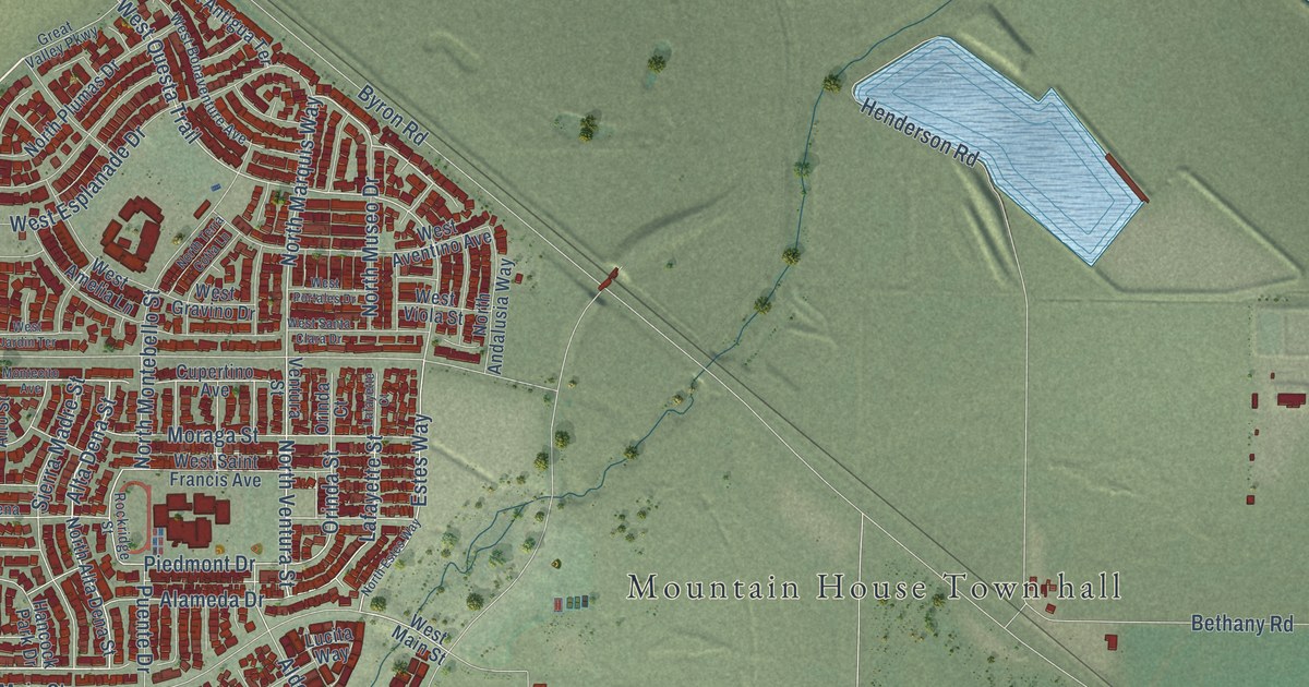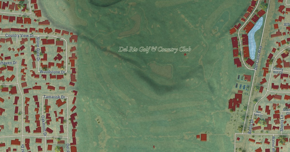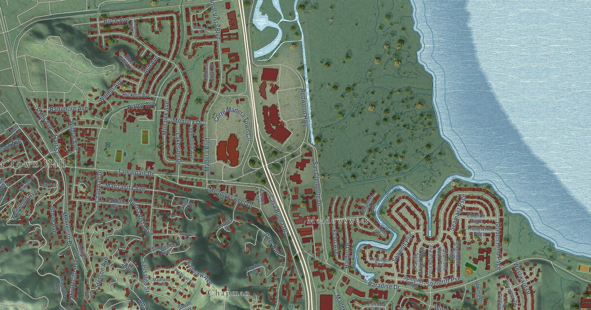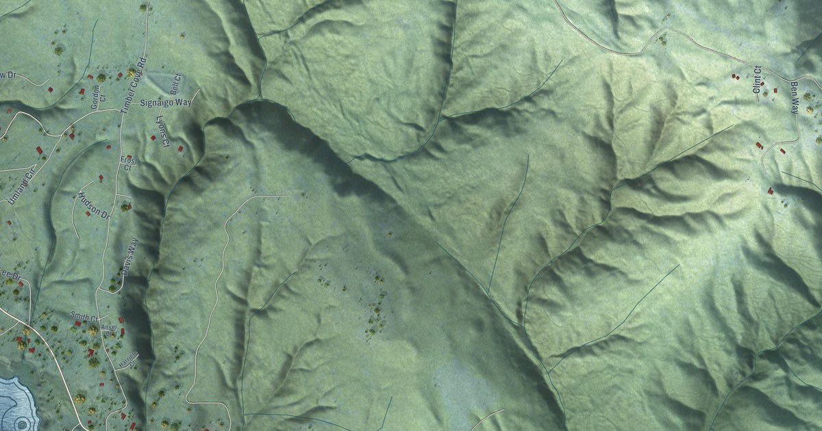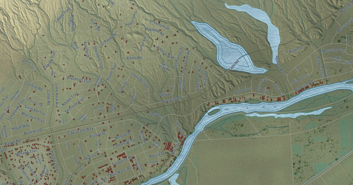
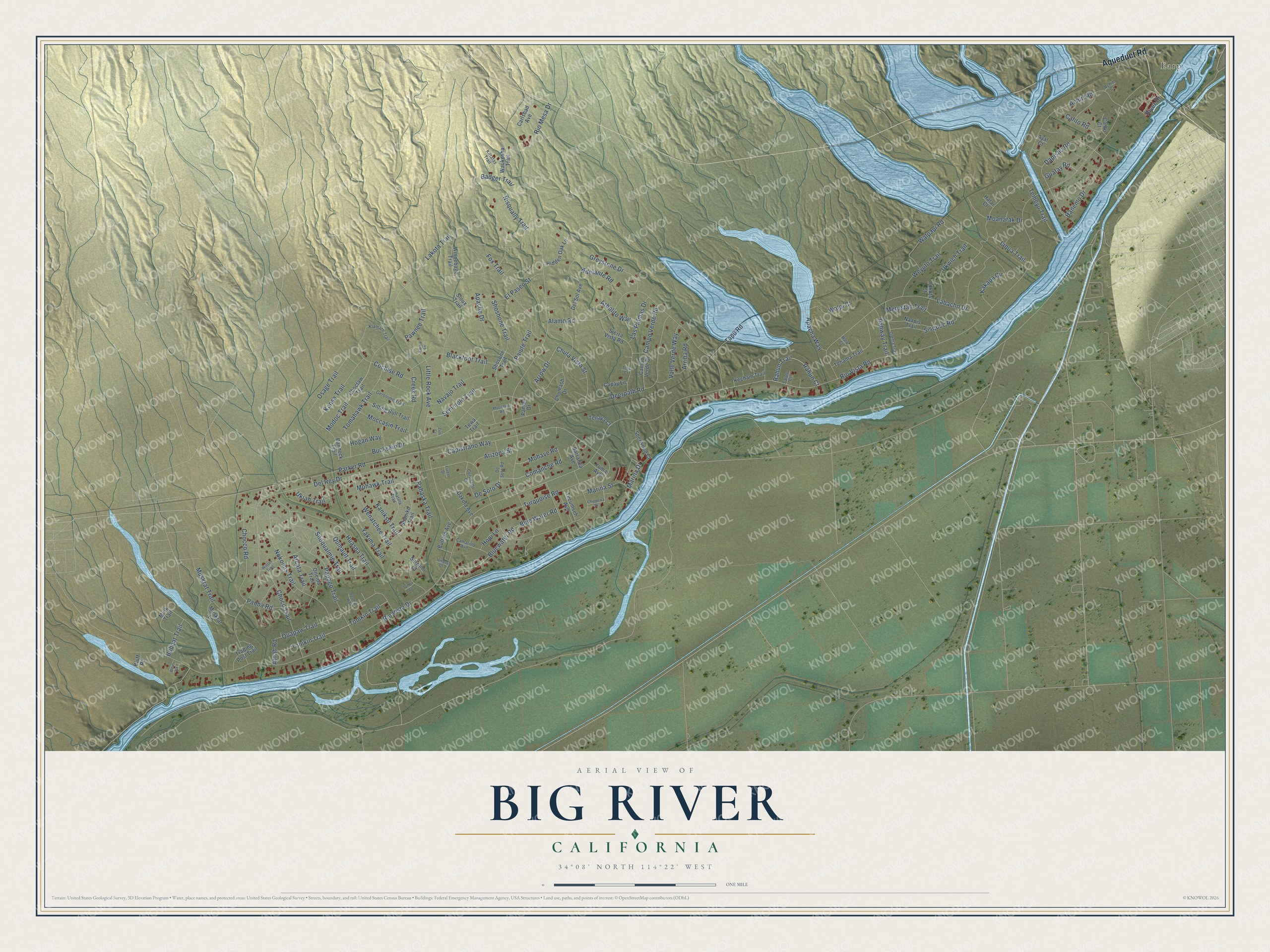
This beautifully detailed map of Big River, California was created in 2026 using aerial imagery combined with modern topographical, census, street and landmark data. It's a modern aerial view of Big River in San Bernardino County, California, that combines modern data with a vintage aesthetic. The roads feature printed names, and if you look closely you can find your exact house accurately shown in its correct location.
Explore an aerial view of Big River, California
On this map you'll find Earp, Aqueduct Road, Comanche Road, Rio Vista Drive, Rio Vista Road, Rahun Court, Rahun Trail, De Soto Drive, Arrow Drive, Alamo Road, Capistrano Way, Dapishu Road, and more. Each red shape is a building, so zoom in on the preview and look for yours.
Big River is a community in San Bernardino County. The Census Bureau counted 1,084 people here in 2020. Big River sits about 6 miles southwest of Bluewater and 37 miles northeast of Blythe. The map prints the town name in its title panel, with the coordinates below it.
Take a closer look at the Big River map
Names on this map
These names are printed on this map.
Places: Earp.
Streets and roads: Aqueduct Road, Comanche Road, Rio Vista Drive, Rio Vista Road, Rahun Court, Rahun Trail, De Soto Drive, Arrow Drive, Alamo Road, Capistrano Way, Dapishu Road, Tomahawk Trail.
More street names, A to Z
Achitl Court, Achitl Road, Adelante Road, Apacha Way, Apache Drive, Arbolito Way, Arcata Trail, Arizona Street, Arriba Road, Atnah Road, Ayal Court, Badger Trail, Bannock Trail, Barranca Avenue, Blackfoot Trail, Blue Water Road, Bluewater Road, Bluff Road, Bobcat Trail, Buckskin Drive, Buffalo Avenue, Cahto Court, Cahto Road, Camarillo Avenue, Campo Verde Drive, Campo Verde Road, Capay Lane, Carlsbad Avenue, Chippewa Drive, Chocco Road, Choco Trail, Choctaw Trail, Chula Vista Street, Chumash Drive, Cochise Road, Coronado Drive, Creek Road, Dakota Avenue, Deerpath Road, Del Rey Drive, Del Sol Avenue, De Soto Road, El Paseo Street, Feather Way, Forest Drive, Fox Trail, Geronimo Trail, Greystone Drive, Guatay Road, Hanemo Drive, Hatai Court, Hidden Oak Lane, Hogan Way, Hopi Lane, Huasna Trail, Iaqua Trail, Kakapa Circle, Kaniksu Trail, Kansa Trail, Kecham Trail, Kiowa Lane, Kittatas Trail, Klamath Trail, Labacho Drive, Lakota Trail, Las Palmas Drive, Little Rock Avenue, Marina Drive, Marina Street, Mato Court, Merostan Trail, Mink Trail, Moanatak Drive, Moccasin Road, Moccasin Trail, Modoc Trail, Mohave Road, Mohawk Trail, Muskrat Lane, Muskrat Trail, Naapis Trail, Navajo Trail, Nisqually Trail, Nokomis Trail, Olema Trail, Oneida Trail, Osage Trail, Pahaska Trail, Pahway Trail, Paiute Trail, Pampa Drive, Papago Trail, Parker Road, Pauba Road, Pawnee Trail, Quapaw Trail, Quinault Trail, Rio Mesa Drive, River Drive, Salulu Court, Seminole Trail, Serrano Court, Shaniko Trail, Sherwood Court, Shoshone Trail, Shosone Trail, Sierra Vista Road, Sioux Trail, Sisquoc Road, Sitting Bull Trail, Snoqualmie Trail, Tapu Road, Tecumseh Avenue, Tego Court, Tehama Trail, Temeyu Trail, Tenaya Court, Tewa Trail, Tomkin Trail, Tonga Court, Tonikin Trail, Trading Post Trail, Turquoise Road, Ukiah Trail, Ukwich Trail, Umatilla Trail, Umqua Court, Valle Verde Way, Walpapi Road, Walpi Court, Waukesha Trail, Wenatchee Trail, West Road, Weyuto Trail, Winnebago Trail, Wintun Trail, Yakima Trail, Yokuts Court, Yuma Avenue, Zuni Court.
See it on a wall
The Big River map as a framed print. Swipe for more.


Created by KNOWOL in 2026. The buildings are small red shapes, the roads carry their printed names, and shaded relief shows the shape of the land. The title panel reads "AERIAL VIEW OF BIG RIVER, CALIFORNIA" with 34°08' NORTH 114°22' WEST.
It looks right in a kitchen, an office or a den, and it's a gift for anyone who grew up in Big River or moved away. Open the preview and find your street. See sizes and frames for the Big River map.