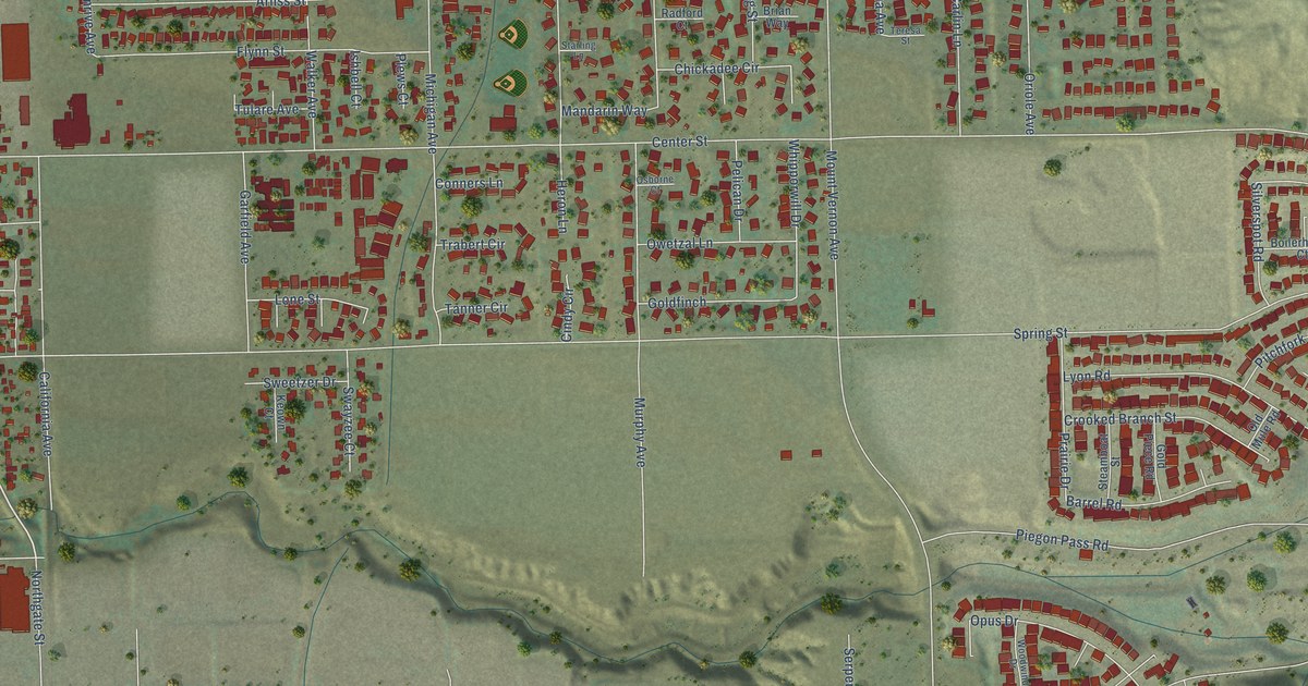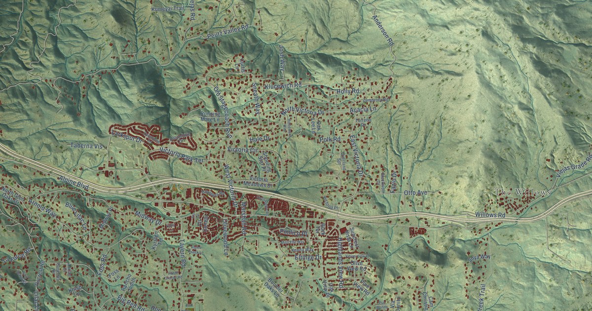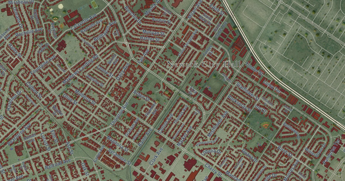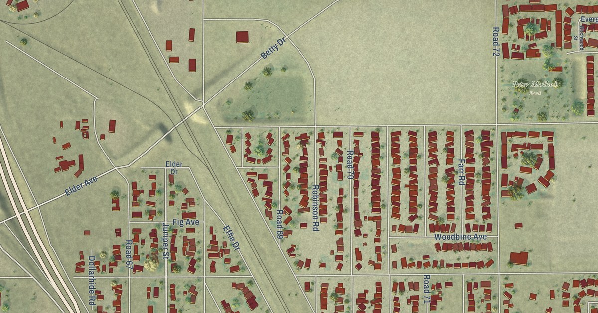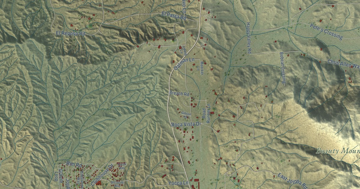
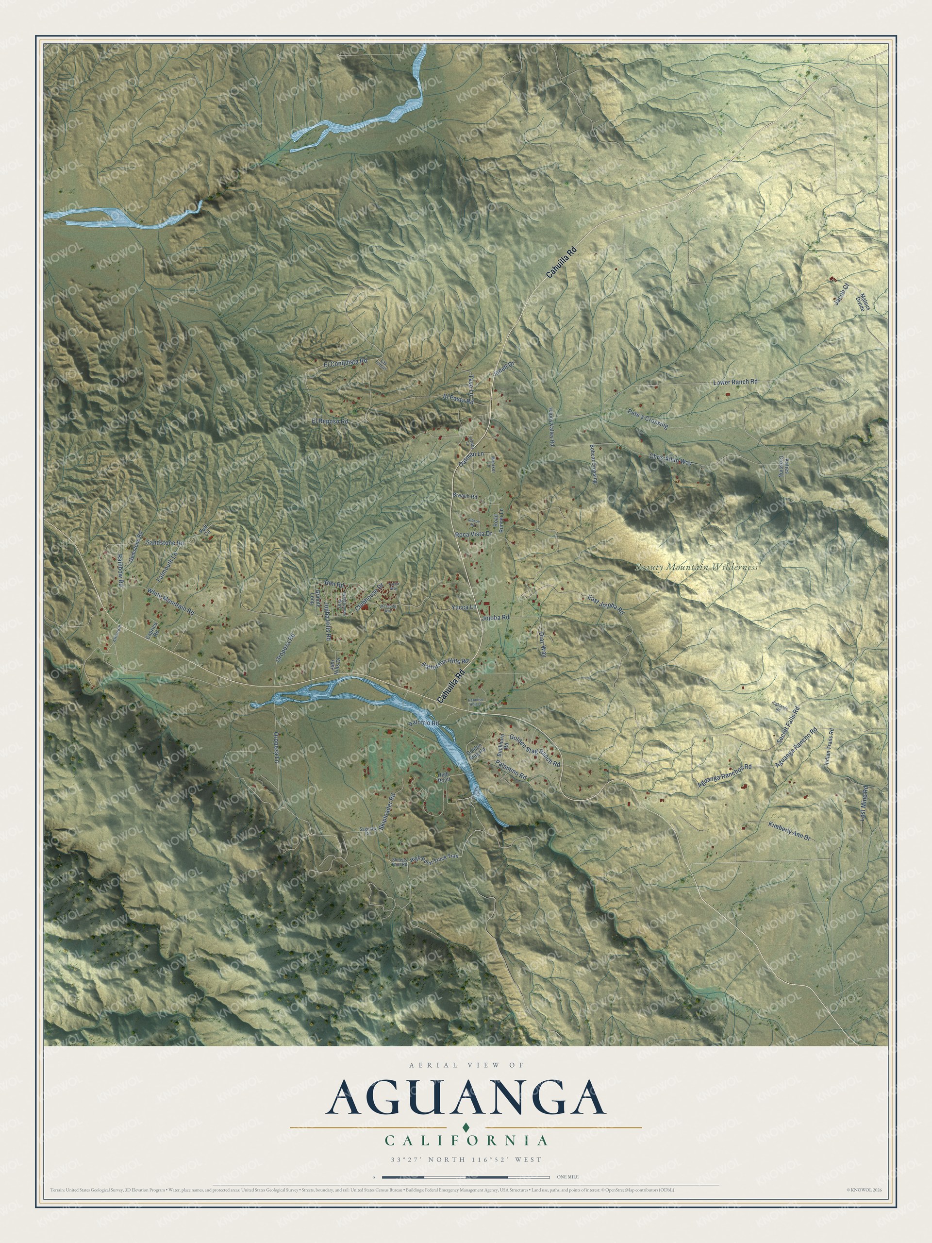
This beautifully detailed map of Aguanga, California was created in 2026 using aerial imagery combined with modern topographical, census, street and landmark data. It's a modern aerial view of Aguanga in Riverside County, California, that combines modern data with a vintage aesthetic. The roads feature printed names, and if you look closely you can find your exact house accurately shown in its correct location.
Explore an aerial view of Aguanga, California
On this map you'll find Beauty Mountain Wilderness, Cahuilla Road, Jojoba Road, Golden Stag Ranch Road, Oropeza Road, El Conquista Road, Aguanga Rancho Road, East Jojoba Road, Chris Allen Way, Secret Falls Road, Pete's Crossing, Lower Ranch Road, and more. Each red shape is a building, so zoom in on the preview and look for yours.
Here is a piece of Aguanga history. The first Butterfield Overland stage reached Aguanga in October 1858, and the stages stopped there twice a week until 1861. Aguanga sat at a junction of old trails: the San Bernardino and Sonora Road ran northeast to San Gorgonio Pass, and the Colorado Road ran northwest through Temecula. That's from the 1939 WPA guide to California.
Aguanga is a community in Riverside County. The Census Bureau counted 989 people here in 2020.
Take a closer look at the Aguanga map
Names on this map
These names are printed on this map.
Places: Beauty Mountain Wilderness.
Streets and roads: Cahuilla Road, Jojoba Road, Golden Stag Ranch Road, Oropeza Road, El Conquista Road, Aguanga Rancho Road, East Jojoba Road, Chris Allen Way, Secret Falls Road, Pete's Crossing, Lower Ranch Road, Aguanga Ranchos Road.
More street names, A to Z
Allmouth, Bobcat Crossing, Breach Road, Buckhorn Road, Camero Drive, Caprice Road, Clubhouse Drive, Diaz Way, El Pasta Road, El Reposo Road, Falmouth Lane, Gemstone Road, Gibson Road, Golden Stag Road, Granite Loop, Happy Valley Road, Highlands Road, High Point, High Point Truck Trail, Indian Trails Road, Jacob Court, Janell Drive, Jojiba Hills Road, Juni Hills Drive, Katies Crossing, Kimberly Ann Drive, Las Lomas, Lizard Lane, Lost Mine Road, Mateus Divide, Meerker Lane, Mesquite Way, Oatman Lane, Oropeza Lane, Palamino Road, Paradise Hills Drive, Patofrio Road, Patterson Hills Road, Puff Circle, Rainbow Road, Rim Road, Road Runner Lane, Roadrunner Way, Roca Vista Drive, Saginaw Circle, Sandstone Road, Sheeps Foot Road, Skiploader Road, Tavo Lane, White Mountain Road, Yucca Lane, Yucca Way.
See it on a wall
The Aguanga map as a framed print. Swipe for more.


Created by KNOWOL in 2026. The buildings are small red shapes, the roads carry their printed names, and shaded relief shows the shape of the land. The title panel reads "AERIAL VIEW OF AGUANGA, CALIFORNIA" with 33°27' NORTH 116°52' WEST.
It suits a den, a classroom or a front hall, and it makes a gift for anyone with Aguanga roots. Open the preview and find the block you know. See sizes and frames for the Aguanga map.