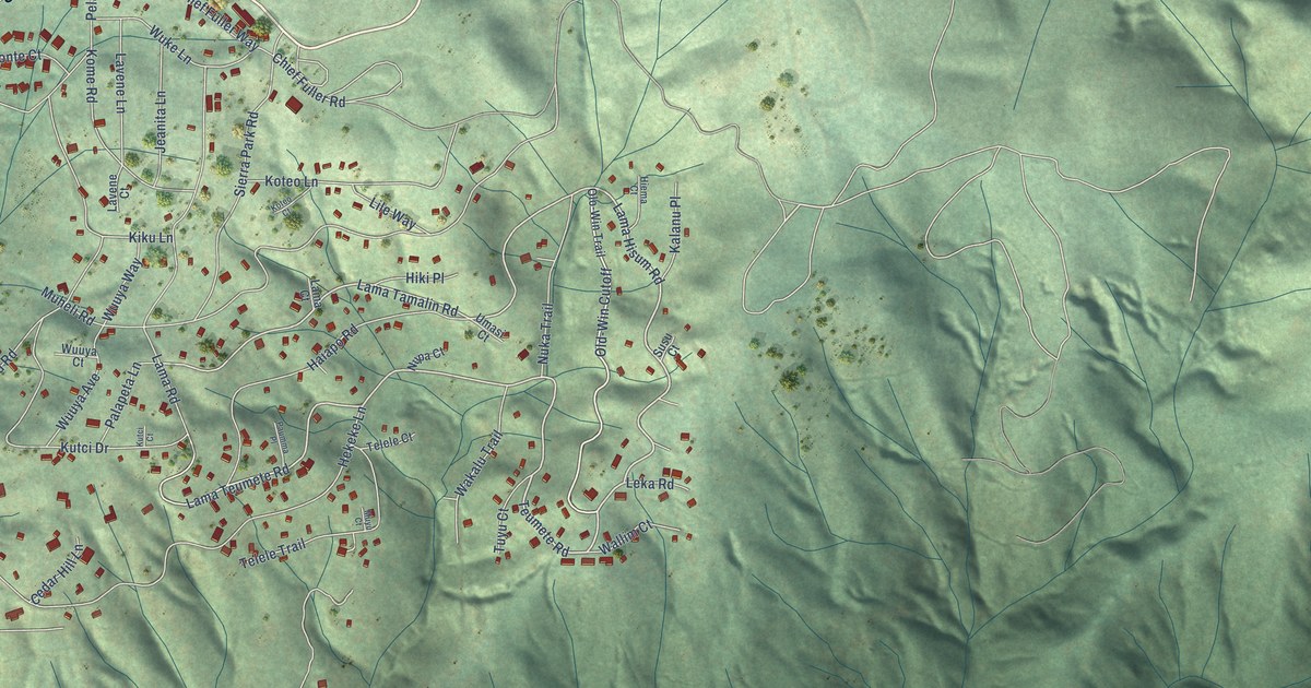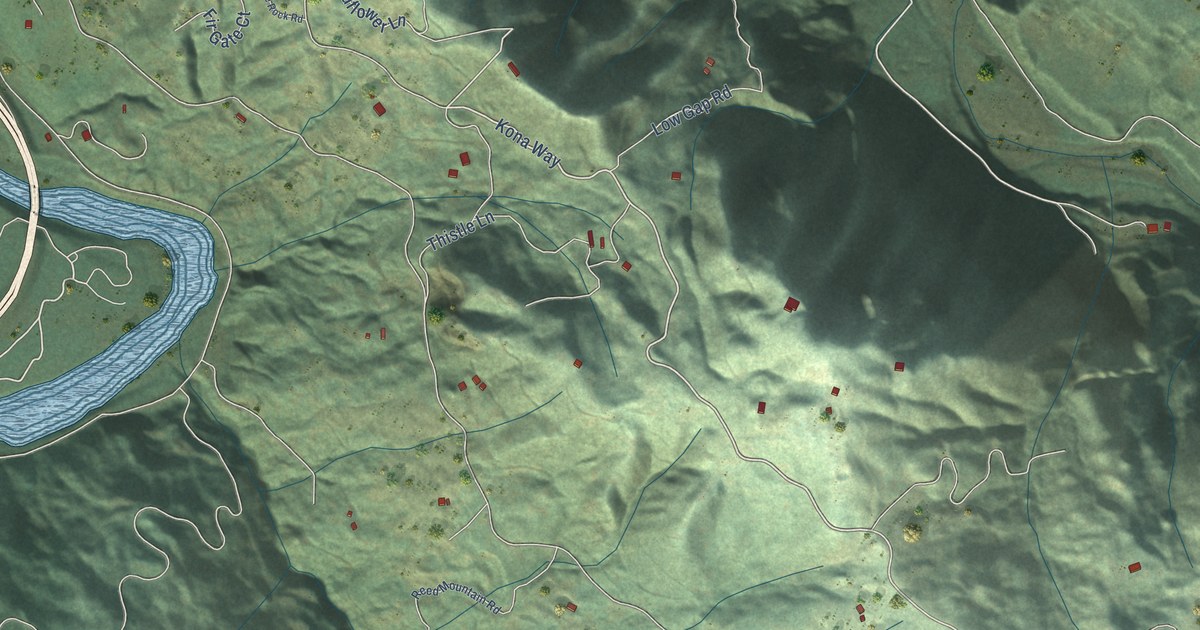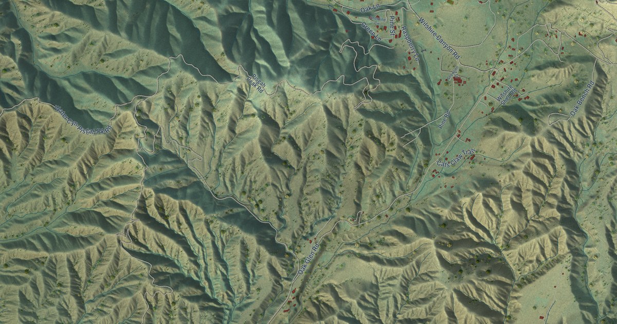
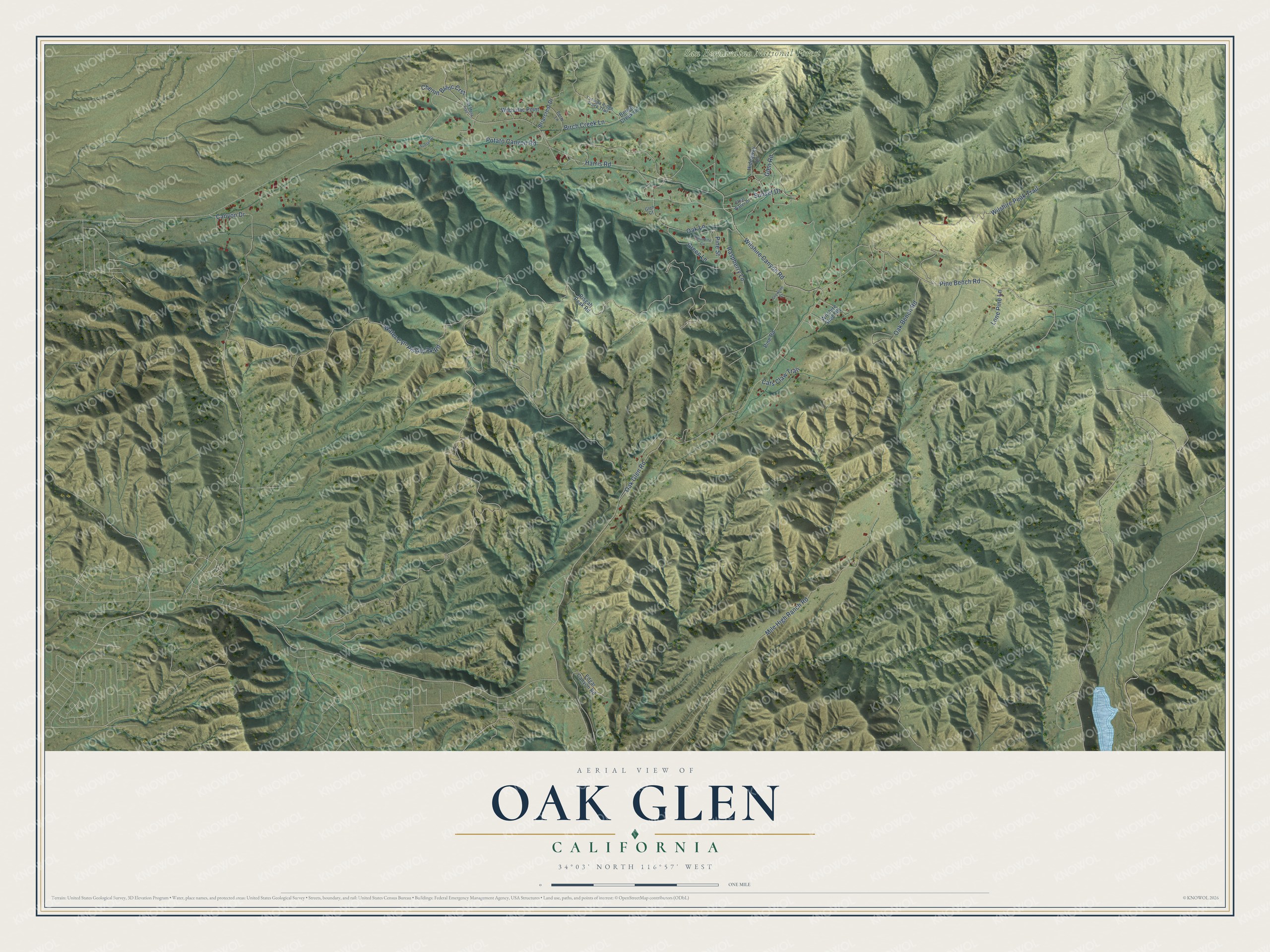
This beautifully detailed map of Oak Glen, California was created in 2026 using aerial imagery combined with modern topographical, census, street and landmark data. It's a modern aerial view of Oak Glen in San Bernardino County, California, that combines modern data with a vintage aesthetic. The roads feature printed names, and if you look closely you can find your exact house accurately shown in its correct location.
Explore an aerial view of Oak Glen, California
On this map you'll find San Bernardino National Forest, Sunset Drive, Harris Road, Pine Bench Road, Oak Glen Road, Wilshire Peak Trail, Water Cyn-Pisgah Pk Road, Mile High Ranch Road, Canyon Drive, Wilshire Canyon Road, Oak Lane, Potato Canyon Road, and more. Each red shape is a building, so zoom in on the preview and look for yours.
Here is a piece of Oak Glen history. Enoch Parrish opened Oak Glen's first apple orchard, and the Wilshire family followed. In 1906 the Rivers brothers started the Los Rios Rancho orchard, and in the 1940s Oak Glen became a boomtown overnight when its farms began selling apples, apple pies, apple butter and apple cider. Long before the orchards, the Cahuilla and Serrano peoples lived in the glen, where the cool climate grew large black acorns. That's from the County of San Bernardino.
Oak Glen is a community in San Bernardino County. The Census Bureau counted 602 people here in 2020.
Take a closer look at the Oak Glen map
Names on this map
These names are printed on this map.
Places: San Bernardino National Forest.
Streets and roads: Sunset Drive, Harris Road, Pine Bench Road, Oak Glen Road, Wilshire Peak Trail, Water Cyn-Pisgah Pk Road, Mile High Ranch Road, Canyon Drive, Wilshire Canyon Road, Oak Lane, Potato Canyon Road, Oak Bench Road.
More street names, A to Z
Bench Creek Lane, Birch Creek Lane, Briarcrest Drive, Cats Claw Trail, Chenin Blanc Crst, Clear Water Drive, Edgar Canyon Road, Glen Court, Glen Road, Green Lane, Hideaway Lane, Lone Pine Lane, Oak Mesa Trail, Perry Lane, Pine Road, Pine Street, Pisgah Peak Road, Raspberry Lane, Snowline Circle, Snowline Court, Sunset Court, Wild Lilac Point, Wilshire Shed Road, Yucaipa Ridge Truck Trail.
See it on a wall
The Oak Glen map as a framed print. Swipe for more.


Created by KNOWOL in 2026. The buildings are small red shapes, the roads carry their printed names, and shaded relief shows the shape of the land. The title panel reads "AERIAL VIEW OF OAK GLEN, CALIFORNIA" with 34°03' NORTH 116°57' WEST.
It suits a den, a classroom or a front hall, and it makes a gift for anyone with Oak Glen roots. Open the preview and find the block you know. See sizes and frames for the Oak Glen map.