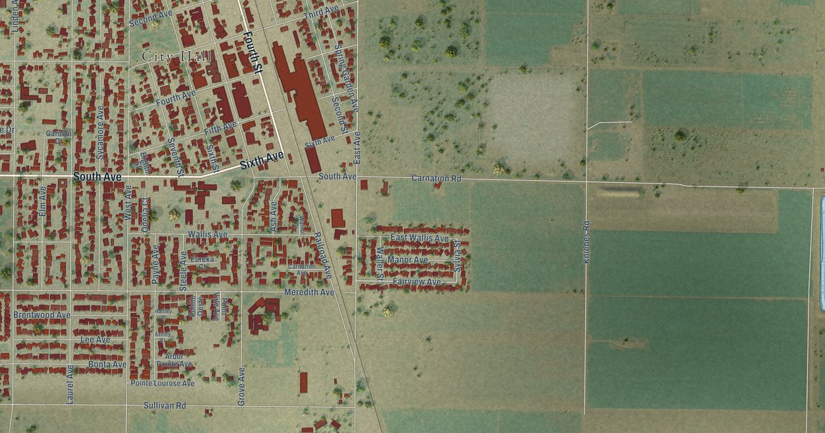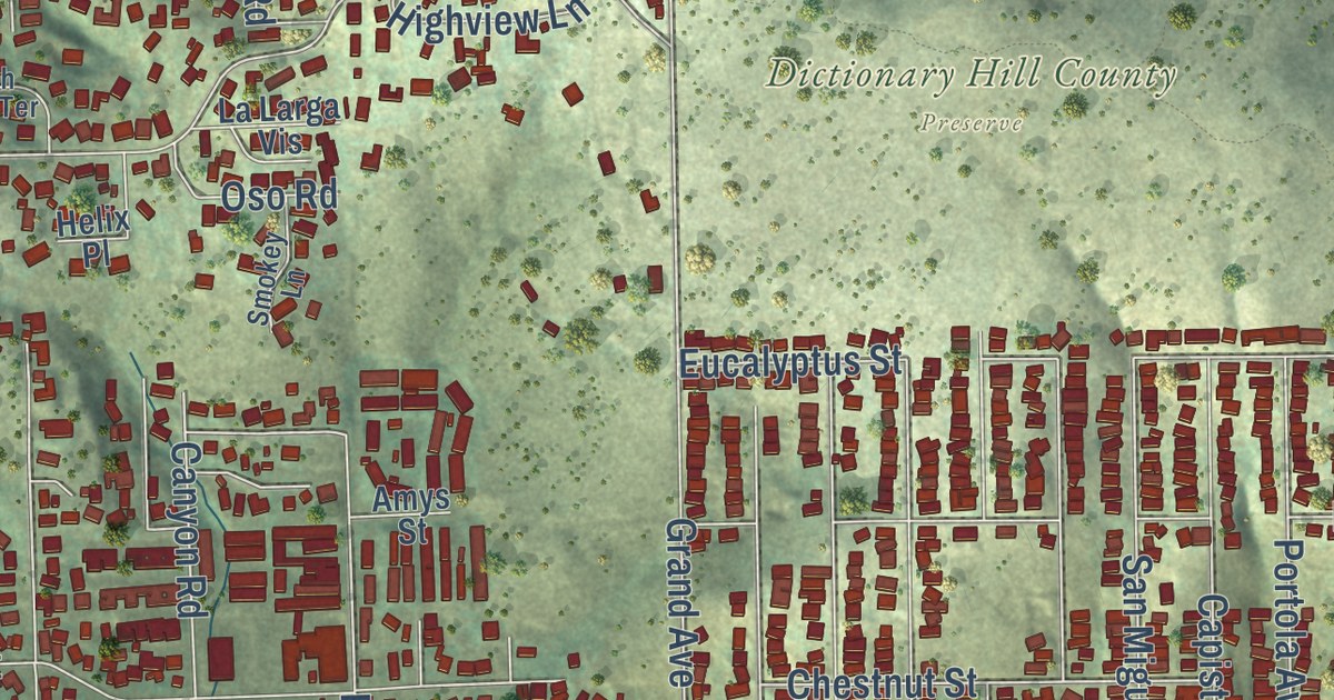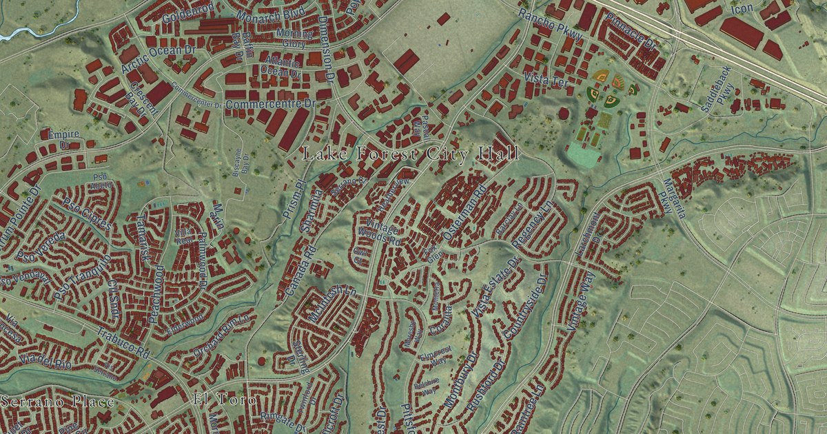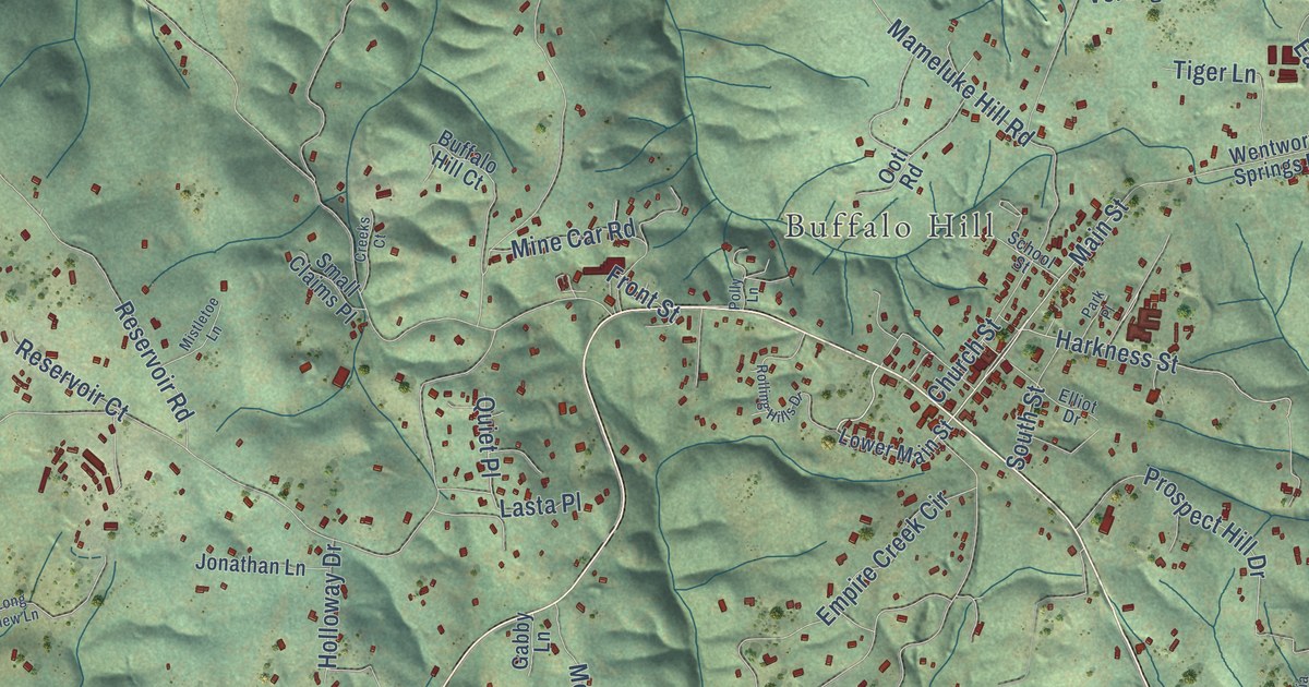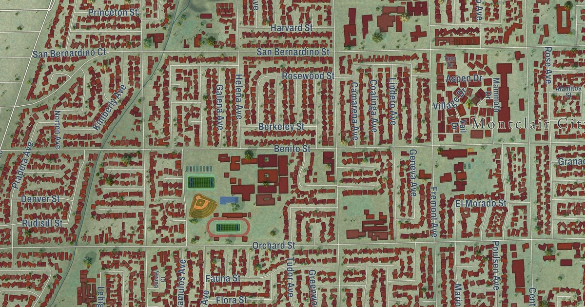
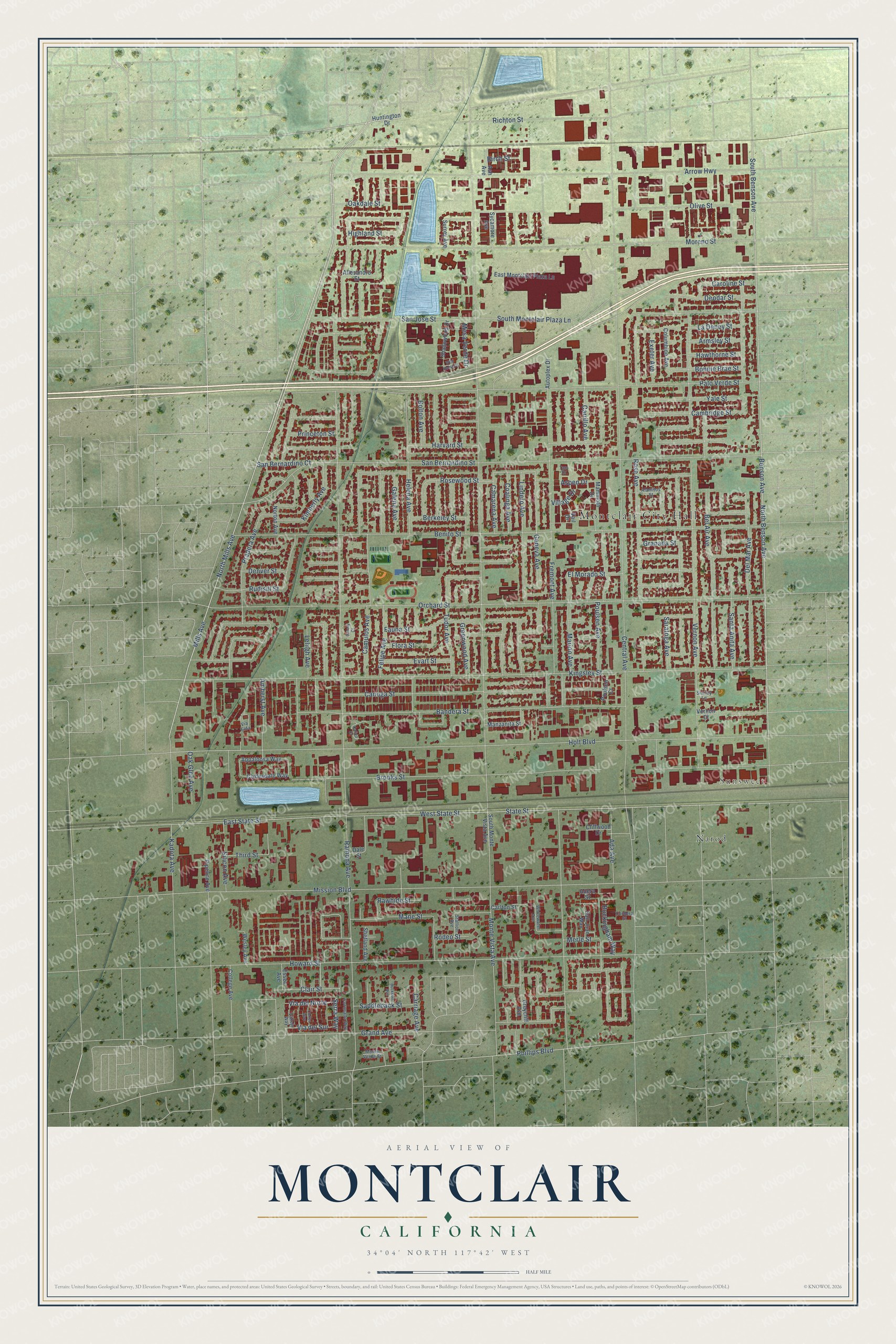
This beautifully detailed map of Montclair, California was created in 2026 using aerial imagery combined with modern topographical, census, street and landmark data. It’s a one-of-a-kind view of Montclair that combines accurate data with a vintage aesthetic. The map shows every building in its true location, many of the roads carry their names, and the shaded topographic relief shows the shape of the land.
Explore an aerial view of Montclair, California
On the map you’ll find Montclair City Hall, Sunsweet, and Narod, along with Mills Avenue, North Mills Avenue, Benson Avenue, South Benson Avenue, North Benson Avenue, Phillips Boulevard, Mane Street, Serra Way, Holt Boulevard, and more. If you look closely you can even find your house accurately drawn in its correct location. Zoom in on the preview to look for yours.
Did you know this piece of Montclair, California history?
From the City of Montclair: "The new name chosen by the residents of Monte Vista was Montclair."
Take a closer look at the Montclair map
Street and place names on the Montclair, California map
These names are printed on the map of Montclair, California.
Places: Montclair City Hall, Sunsweet and Narod.
Streets and roads: Mills Avenue, North Mills Avenue, Benson Avenue, South Benson Avenue, North Benson Avenue, Phillips Boulevard, Mane Street, Serra Way, Holt Boulevard, Rosewood Street, State Street, Mission Boulevard.
More street names, A to Z
Ada Avenue, Adera Street, Alamitos Street, Allesandro Street, Amherst Avenue, Appaloosa Way, Armsley Street, Arrow Highway, Ash Avenue, Aspen Drive, Autoplex Drive, Bandera Street, Bel Air Avenue, Benito Street, Berkeley Street, Birch Street, Bolton Avenue, Bonnie Brae Street, Brooks Street, Buckingham Way, Buckskin Avenue, Calico Court, Camarena Avenue, Cambridge Street, Camulos Avenue, Canary Court, Canoga Street, Carlton Street, Caroline Street, Carriage Avenue, Carrillo Avenue, Central Avenue, Clair Street, Cliffwood Drive, Clydesdale Way, Coalinga Avenue, College Avenue, Columbine Avenue, Cordera Street, Coronado Way, Cortez Way, Dale Street, Del Mar Avenue, Denver Street, Deodar Street, East Montclair Plaza Lane, East State Street, El Morado Street, Essex Avenue, Evart Street, Exeter Avenue, Fauna Street, Felipe Avenue, Flora Street, Fremont Avenue, Galena Avenue, Geneva Avenue, Granada Street, Grand Avenue, Greenwood Avenue, Greycliff Avenue, Harvard Street, Hawthorne Street, Helena Avenue, Highland Street, Howard Street, Huntington Drive, Kadota Avenue, Kimberly Avenue, Kingsley Street, La Deney Street, Lehigh Avenue, Lindero Avenue, Mammoth Drive, Manzanita Street, Marion Avenue, Merle Street, Mesa Verde Drive, Monte Verde Street, Monte Vista Avenue, Moreno Street, Norton Avenue, Oakdale Street, Oak Glen Avenue, Olive Street, Orchard Street, Palo Verde Street, Pipeline Avenue, Poulsen Avenue, Poulsen Court, Pradera Avenue, Princeton Street, Ramona Avenue, Rawhide Street, Richton Street, Rodeo Street, Rose Avenue, Rudisill Street, Saddleback Street, San Bernardino Court, San Bernardino Street, San Jose Street, San Juan Way, Santa Anita Avenue, Saratoga Avenue, Shadowood Drive, Shetland Avenue, Shirley Lane, Silicon Avenue, South Montclair Plaza Lane, South Monte Vista Avenue, Stallion Avenue, Surrey Avenue, Sycamore Avenue, Taos Drive, Third Street, Tudor Avenue, Vail Drive, Vallejo Way, Vernon Avenue, Vernon Court, Via del Norte, Via del Sur, Via Elda, Village Drive, Wesley Avenue, West State Street, Whitewater Avenue, Wild Horse Drive, Yale Street.
See the Montclair, California map on a wall
The Montclair map as an 18 x 24 inch print in a black frame.

This beautifully detailed map of Montclair makes an attractive addition to your office, library, or den, and it can even be used to teach children the geography and history of the area. It also makes a great gift for anyone who grew up in Montclair or moved away. When you’re done exploring, click here to get your copy of the Montclair map.